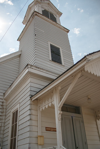
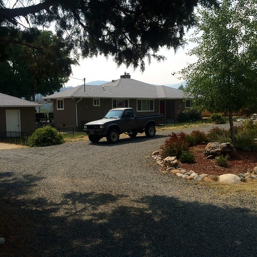
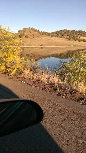
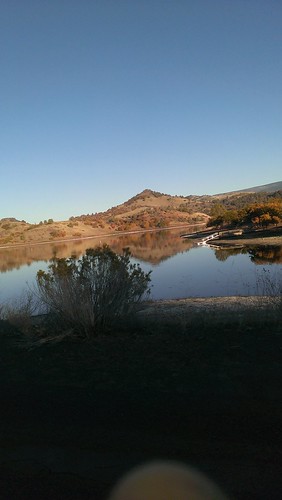
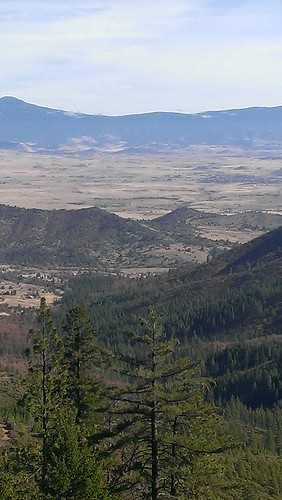
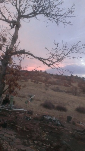
Elevation of Fort Jones, CA, USA
Location: United States > California > Siskiyou County >
Longitude: -122.84030
Latitude: 41.6076387
Elevation: 842m / 2762feet
Barometric Pressure: 92KPa
Related Photos:
Topographic Map of Fort Jones, CA, USA
Find elevation by address:

Places in Fort Jones, CA, USA:
Boulder Peak
Black Marble Mountain
Smokey Lane
Indian Creek Rd, Fort Jones, CA, USA
Quartz Valley Rd, Fort Jones, CA, USA
Klamath River
Places near Fort Jones, CA, USA:
12094 Oak Mill Dr
148 Newton St
1833 W Moffett Creek Rd
1833 W Moffett Creek Rd
Indian Creek Rd, Fort Jones, CA, USA
Greenview
Scott Valley Rd, Etna, CA, USA
6349 Scott River Rd
Quartz Valley Rd, Fort Jones, CA, USA
1219 Patterson Creek Rd
8701 Marble Mountain Ln
9007 Marble Mountain Ln
9007 Marble Mountain Ln
9007 Marble Mountain Ln
Klamath River
Smokey Lane
Main Street
9515 Scott River Rd
Etna
Main St, Etna, CA, USA
Recent Searches:
- Elevation of Corso Fratelli Cairoli, 35, Macerata MC, Italy
- Elevation of Tallevast Rd, Sarasota, FL, USA
- Elevation of 4th St E, Sonoma, CA, USA
- Elevation of Black Hollow Rd, Pennsdale, PA, USA
- Elevation of Oakland Ave, Williamsport, PA, USA
- Elevation of Pedrógão Grande, Portugal
- Elevation of Klee Dr, Martinsburg, WV, USA
- Elevation of Via Roma, Pieranica CR, Italy
- Elevation of Tavkvetili Mountain, Georgia
- Elevation of Hartfords Bluff Cir, Mt Pleasant, SC, USA
