Elevation of Maple St, Myrtle Point, OR, USA

Location: United States > Oregon > Myrtle Point >

Longitude: -124.14477

Latitude: 43.0646885

Elevation: 21m / 69feet

Barometric Pressure: 101KPa

Elevation Map:

elevation map of Maple St, Myrtle Point, OR, USA

Satellite Map:

Satellite map of Maple St, Myrtle Point, OR, USA

Related Photos:

usa oregon places greenhouse coquille mountainhome
Greenhouse outside view
usa oregon pond or places coquille mountainhome deerfencepond
Deer Fence Pond from Food Forest
oregon places permaculture coquille mountainhome pcdc
Cathedral Plaster
usa oregon pond or places coquille mountainhome deerfencepond
South View of Deer Fence Pond
usa oregon colorado places denver cob coquille mountainhome coboven
Cob Oven Flame
old oregon downtown coquille cooscounty coquilleoregon
First National Bank of Coquille -- DSC03107
usa oregon places coquille mountainhome hydroturbine hydropond
Underside View of Turbine
usa oregon places coquille mountainhome hydroturbine hydropond
Underside View of Turbine Detail
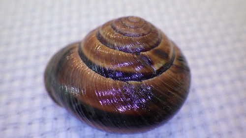
oregon native western landsnails landsnail selfcollected
Monadenia fidelis flava Hemphill, 1892
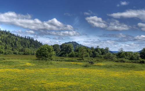
blue horse green nature yellow clouds oregon landscape d800 201205
Oregon Landscape
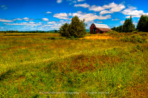
oregon landscapes unitedstates myrtlepoint lfmrealestate
BARN & FIELD
oregon landscape roseburg southumpquariverscenicbyway
Springtime, South Umpqua River Scenic Byway
usa oregon places coquille mountainhome 35acres
35 Acres-19
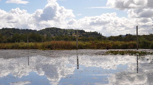
or myrtlepoint johnsonmillslake
Johnson Mills Lake
Route of proposed pipeline near Dora, MP 27
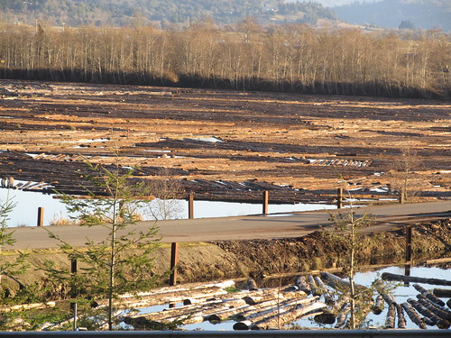
water oregon or logs floatinglogs coqilleor
Floating Logs
oregon pond places coquille mountainhome ishshalom
Mountain Home Dam Landscaping-14
oregon pond places culvert coquille mountainhome jasonthrasher
Mountain Home Dam Landscaping-5
square squareformat hudson iphoneography instagramapp uploaded:by=instagram foursquare:venue=4dcc597645dd853165f031f2
Coquille Outing
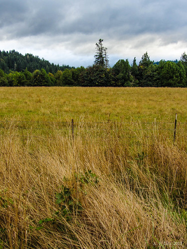
oregon unitedstates myrtlepoint
Field & Clouds
oregon pond places coquille mountainhome ishshalom chipboggs
Mountain Home Dam Landscaping-18
people oregon pond patrick places culvert coquille mountainhome ishshalom sarahbredenberg
Mountain Home Dam Landscaping-7
Route of proposed pipeline near Dora, MP 27
bridge geotagged bridges coveredbridge coveredbridges geo:lat=43042969 geo:lon=124084564 xbridges
Oregon Covered Bridge
usa oregon places coquille mountainhome foodforest
Food Forest East Side
cemetery oregon dora cooscounty deadmantalking
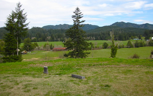
dora cemetery
cemetery oregon myrtlepoint cooscounty myrtlecrestmemorialgardens
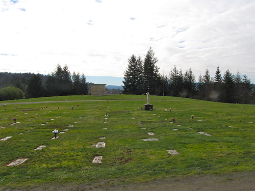
myrtle crest memorial gardens
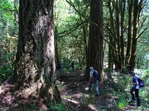
Route of proposed Jordan Cove pipeline on public land