Elevation of Beaver Hill Disposal Site, N Baxter St, Coquille, OR, USA
Location: United States > Oregon > Coos County > Coquille >
Longitude: -124.18638
Latitude: 43.1765376
Elevation: 19m / 62feet
Barometric Pressure: 101KPa
Elevation Map:
Satellite Map:
Related Photos:
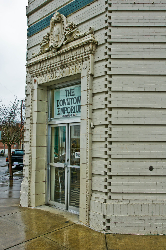
First National Bank of Coquille -- DSC03107

The links at Bandon Dunes
#iphonography #isaactrotterphotography

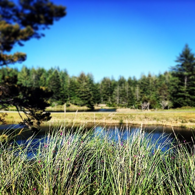
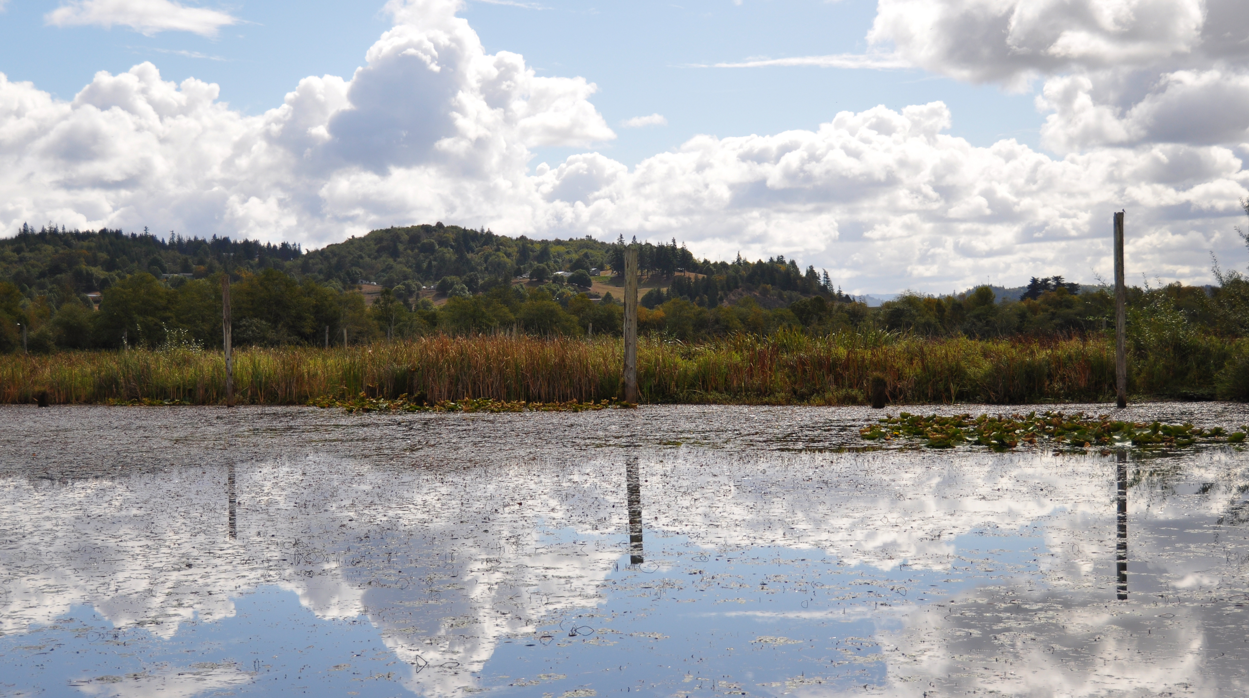
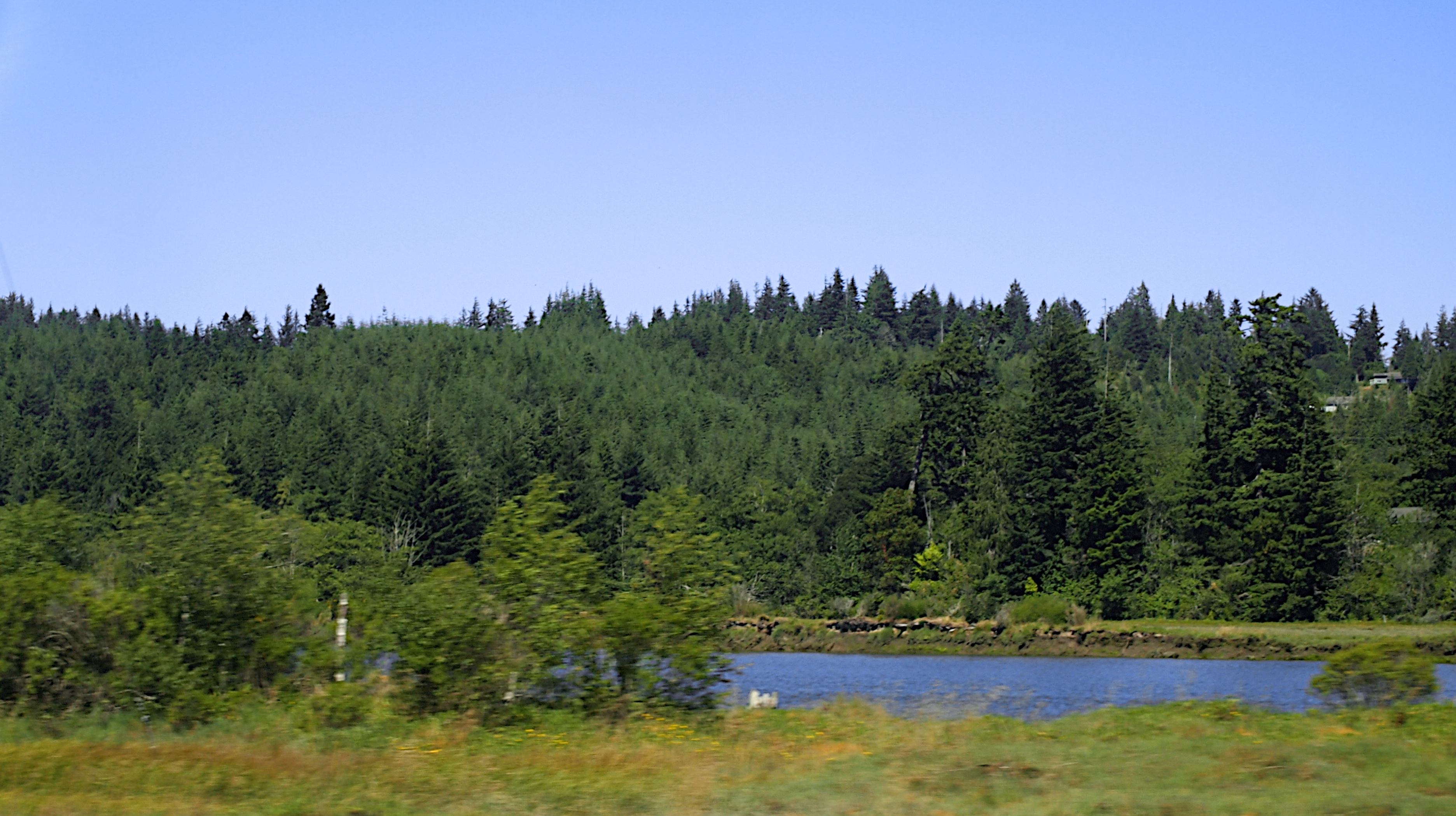
Crossing the Saltmarsh
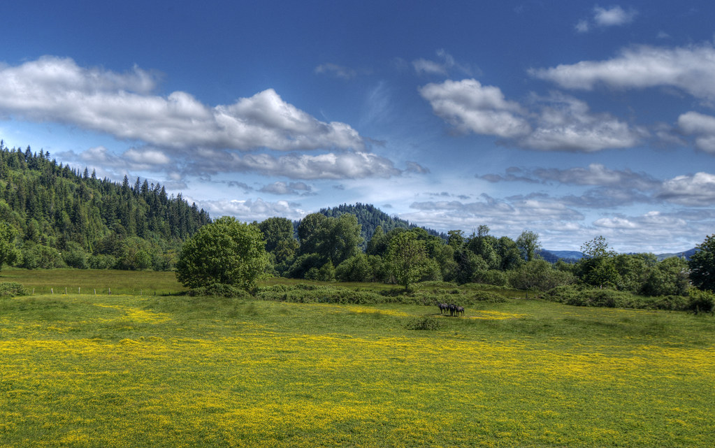
Oregon Landscape

BARN & FIELD
#blackandwhitephotography #iphonography #isaactrotterphotography #outdoors
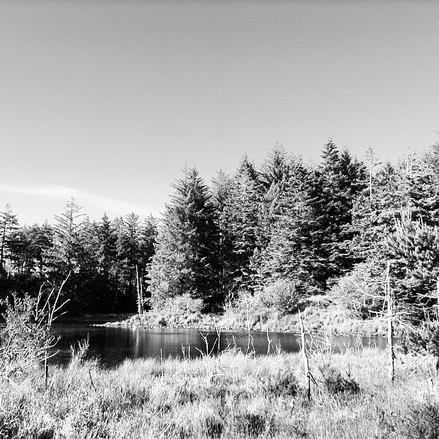
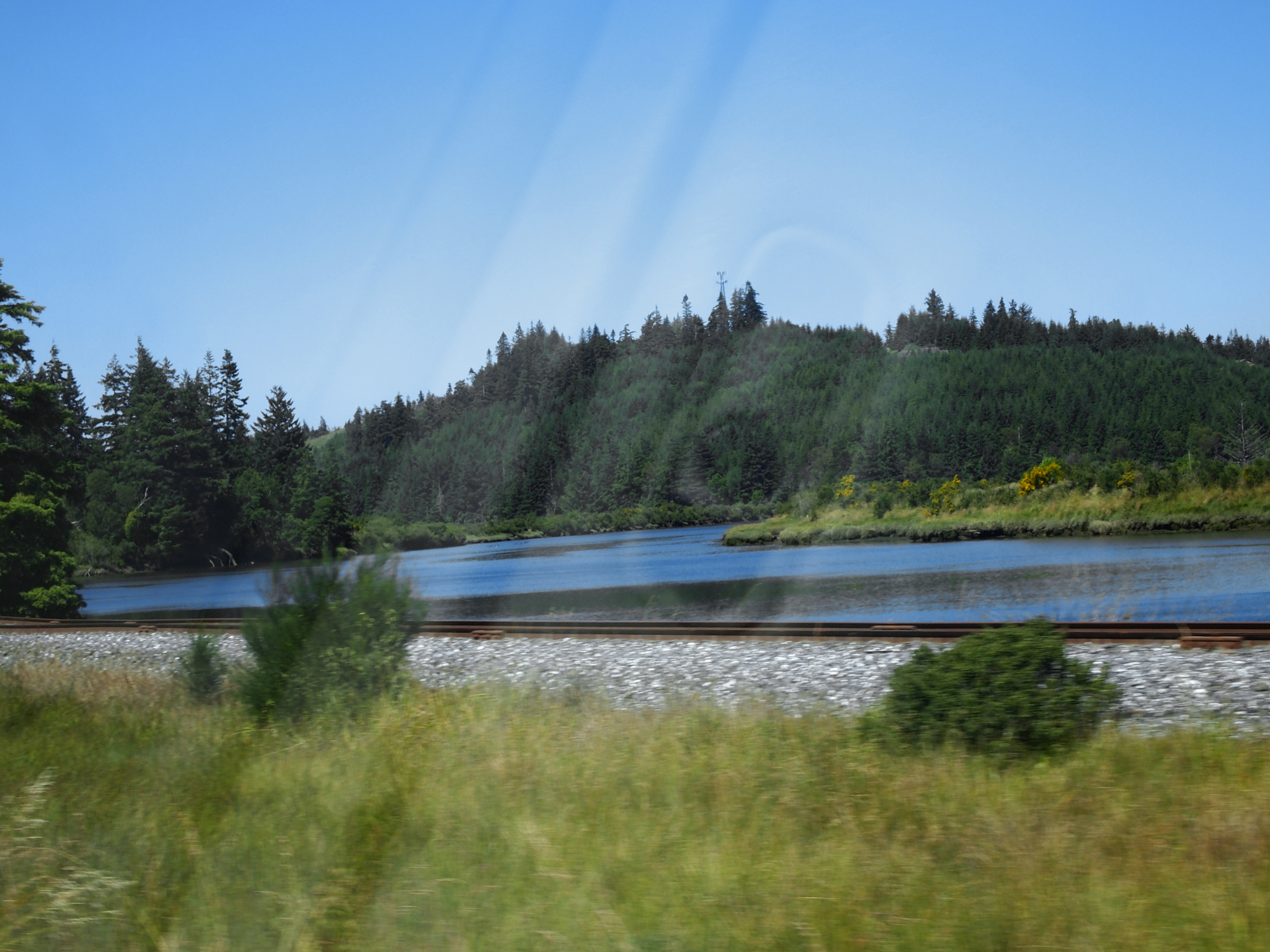
Johnson Mills Lake
P6307111 HWY 101 20130630

Floating Logs

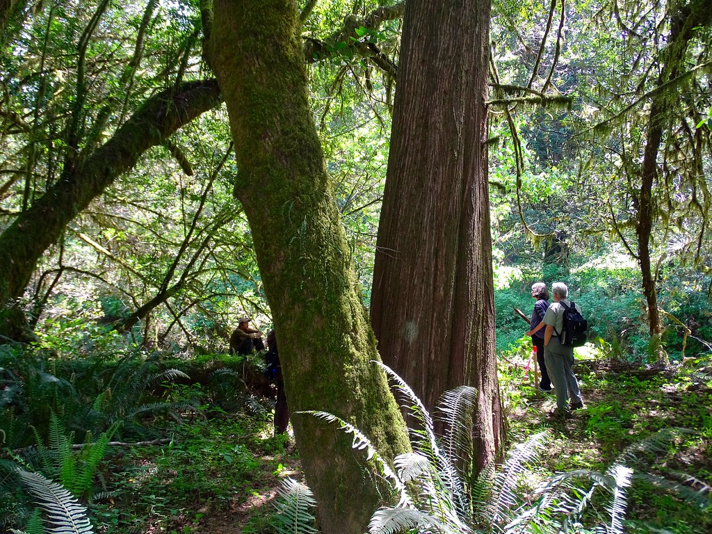
Coquille Outing
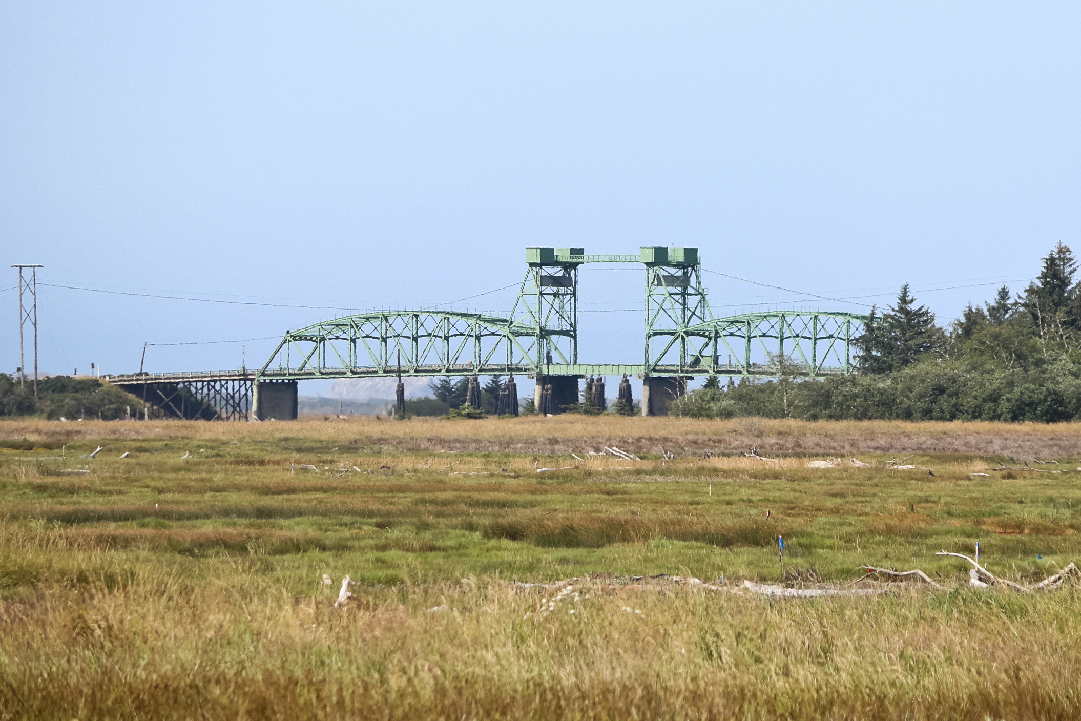
Bullards Bridge
P6307110 HWY 101 20130630
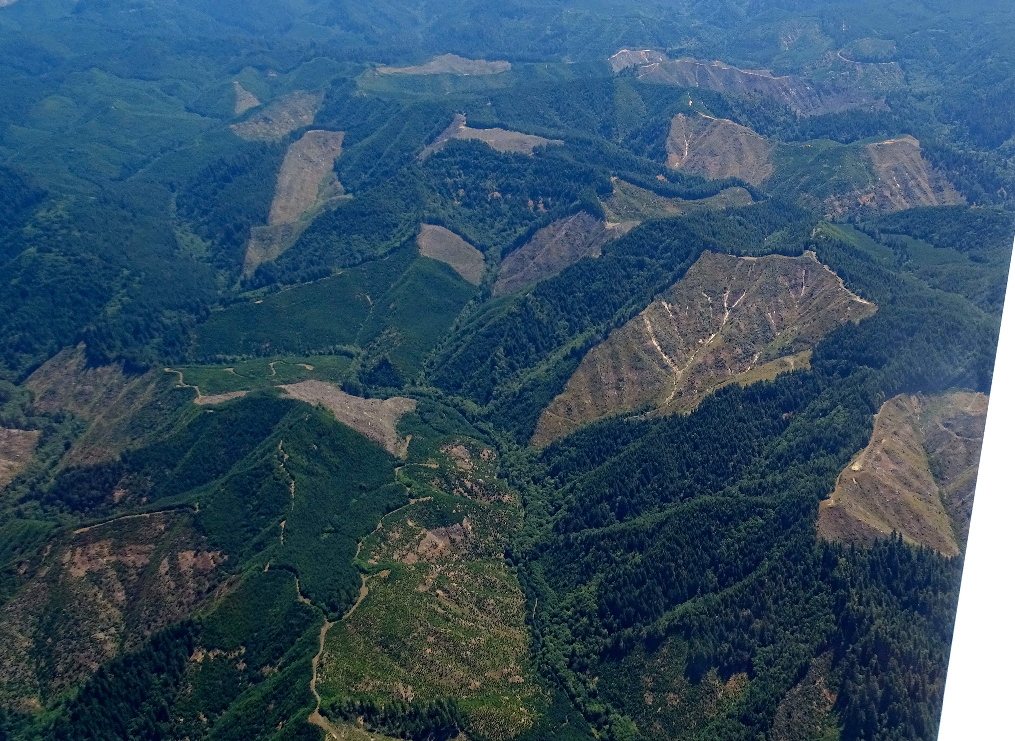
Route of proposed pipeline near Dora, MP 27

Route of proposed pipeline near Dora, MP 27
P6307113 HWY 101 20130630
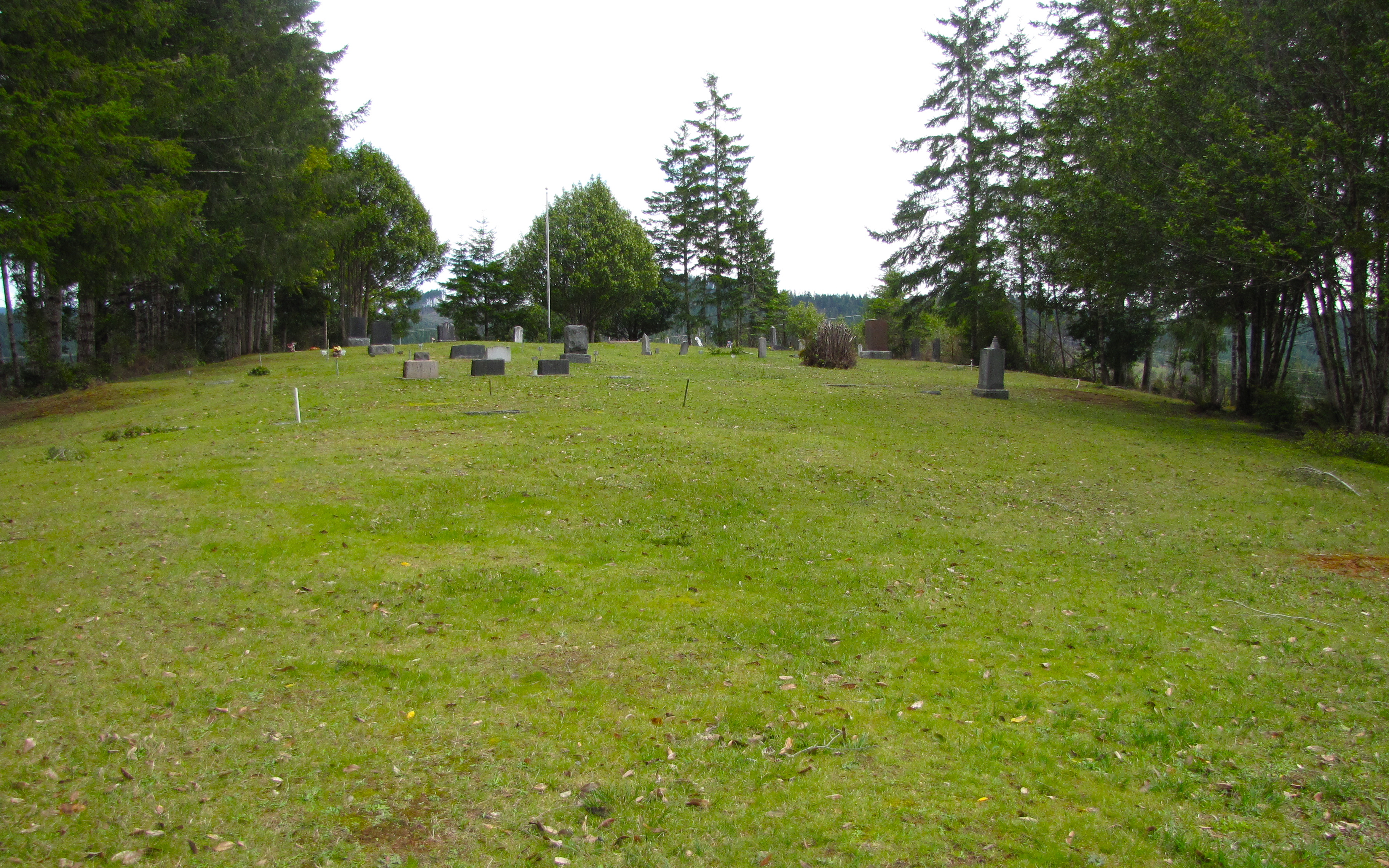
dora cemetery
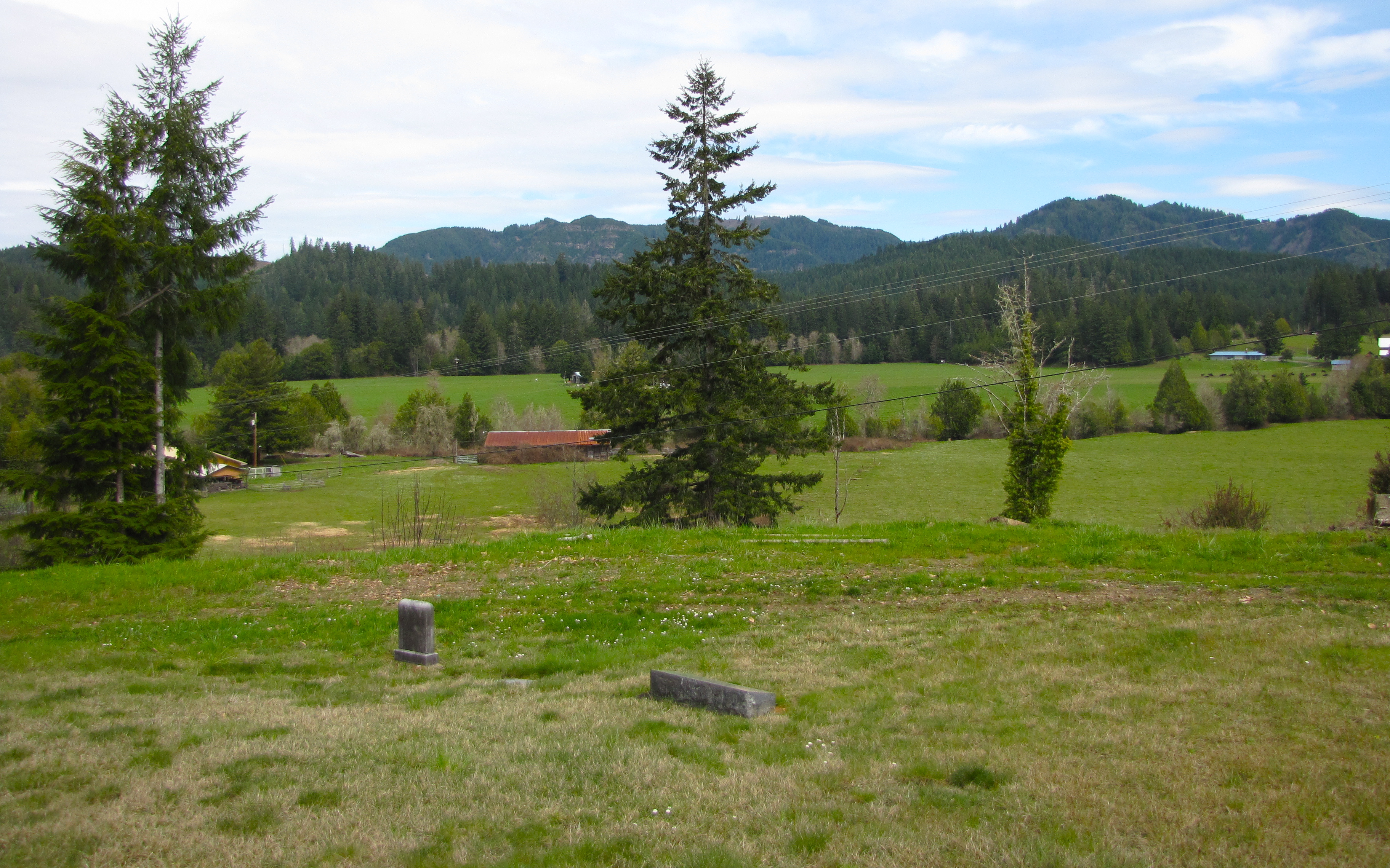
fairview cemetery (fairview, or)
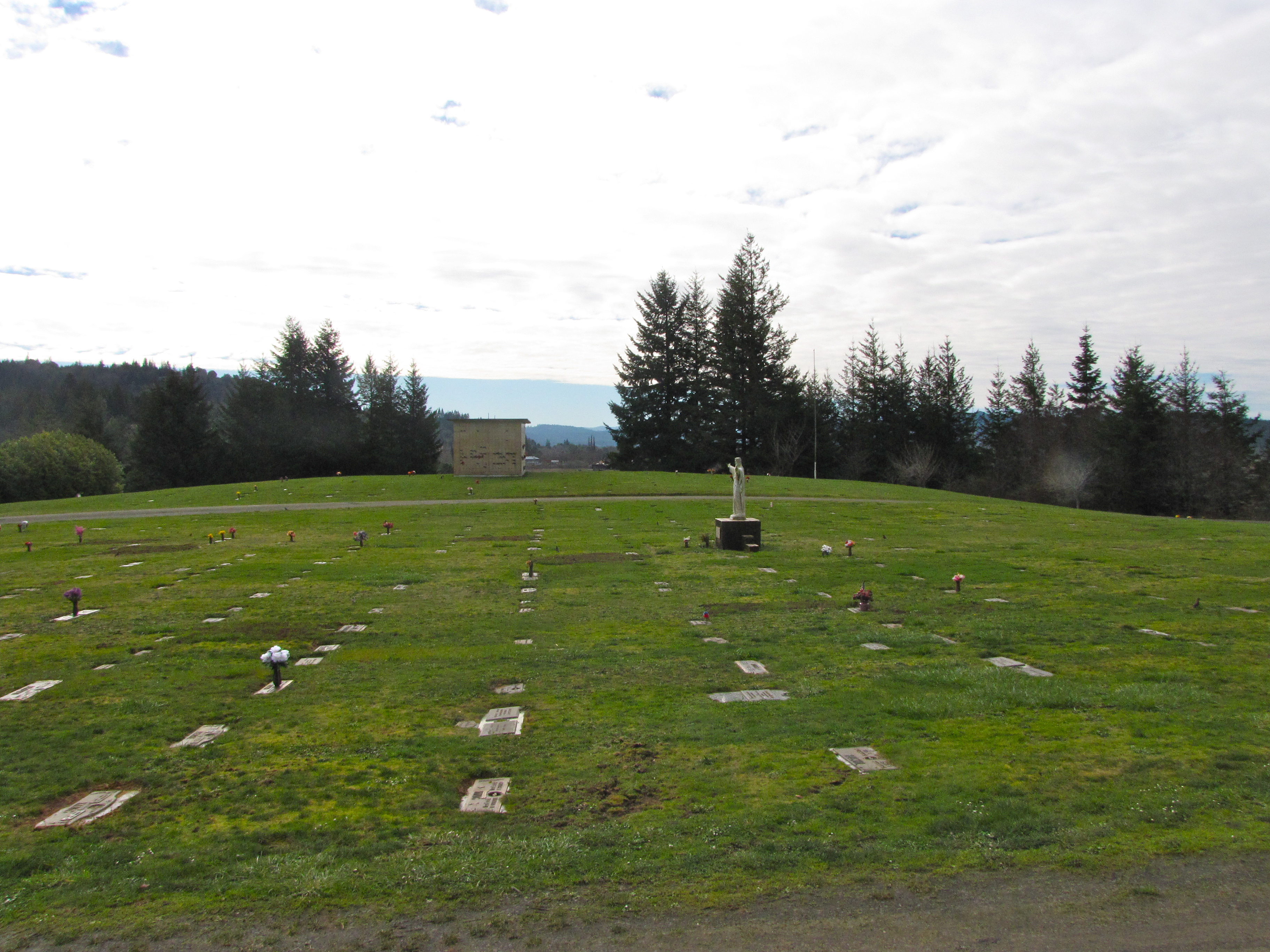
myrtle crest memorial gardens
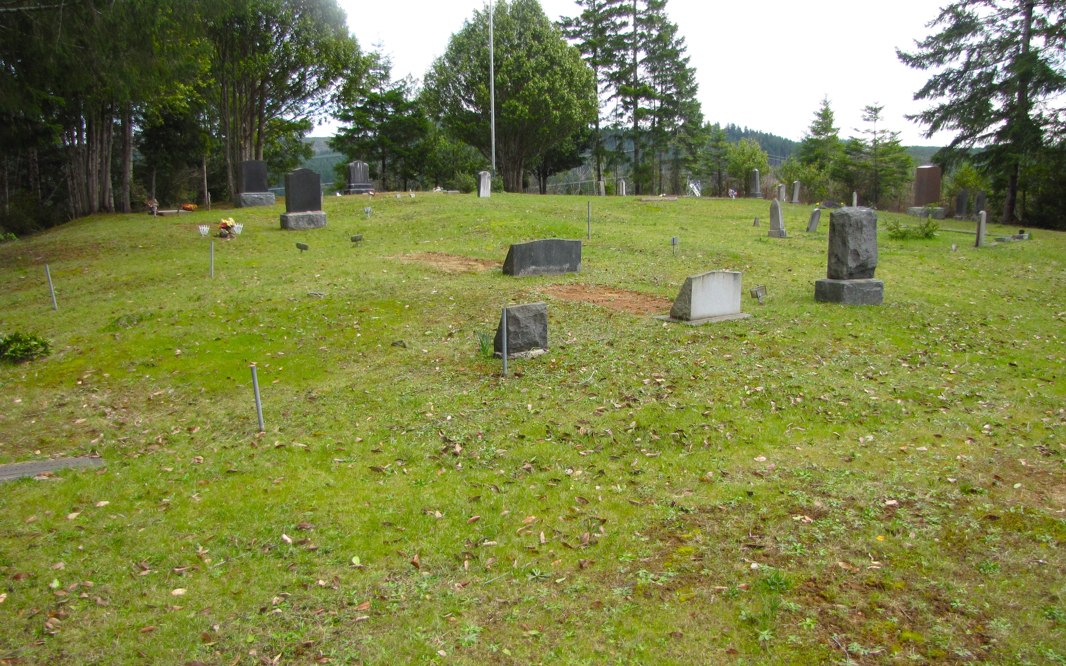
fairview cemetery (fairview, or)
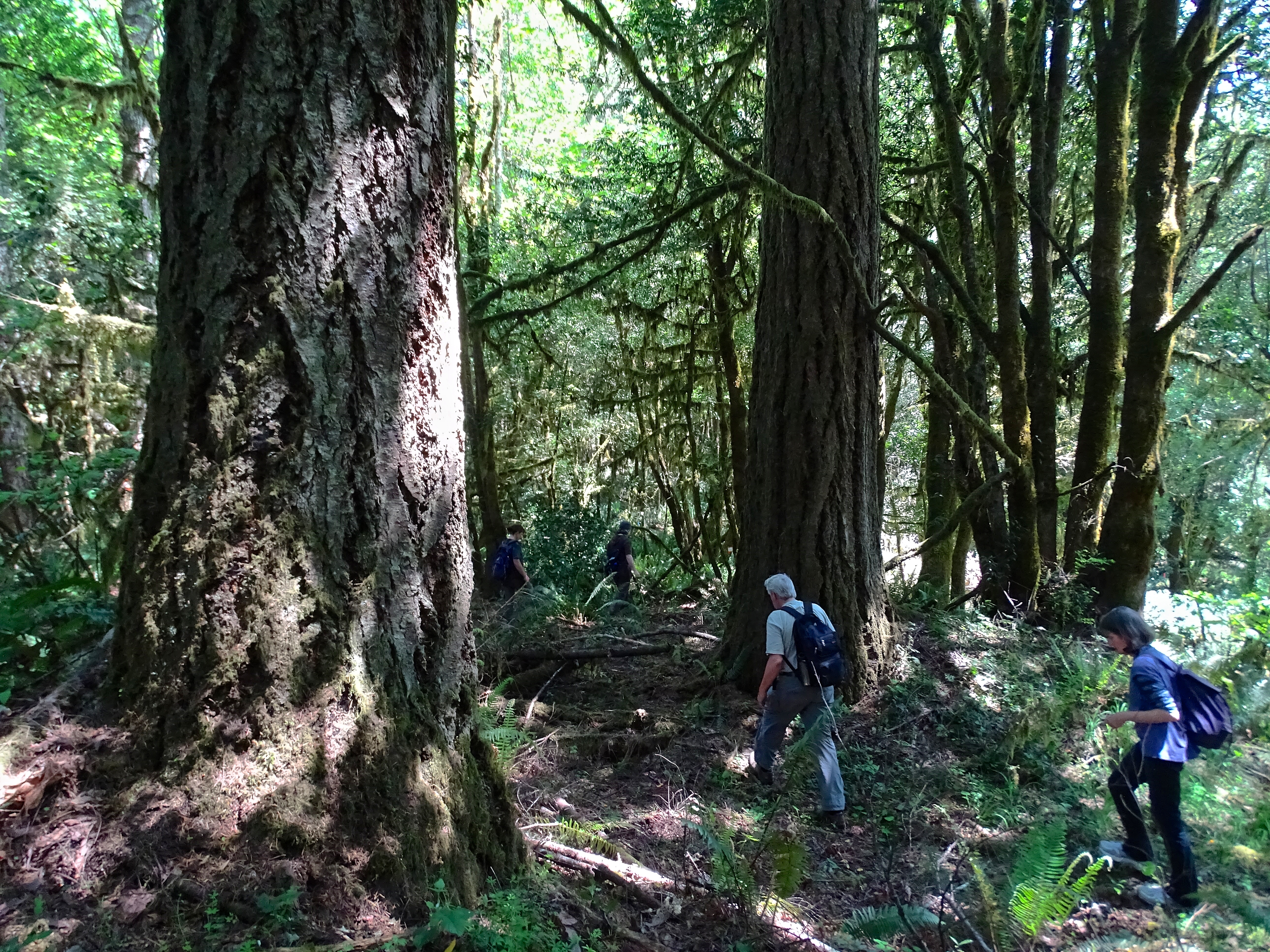
Weyerhaeuser's Forest DSC06531
Route of proposed Jordan Cove pipeline on public land
Topographic Map of Beaver Hill Disposal Site, N Baxter St, Coquille, OR, USA
Find elevation by address:

Places near Beaver Hill Disposal Site, N Baxter St, Coquille, OR, USA:
Coquille
E 3rd St, Coquille, OR, USA
516 N Baxter St
620 N Baxter St
511 E 6th St
460 E 7th St
281 W 4th St
47 Cedar St
795 Se 3rd Ave
798 N Henry St
1331 E 15th St
94787 Mark Pl
93559 Easy Creek Ln
Old Hwy 42, Myrtle Point, OR, USA
91494 Main Ln
Beaver Hill
Beaver Hill Disposal Site Road
88922 Brown Rd
54532 Morrison Rd
88003 Polly Creek Ln
Recent Searches:
- Elevation of Corso Fratelli Cairoli, 35, Macerata MC, Italy
- Elevation of Tallevast Rd, Sarasota, FL, USA
- Elevation of 4th St E, Sonoma, CA, USA
- Elevation of Black Hollow Rd, Pennsdale, PA, USA
- Elevation of Oakland Ave, Williamsport, PA, USA
- Elevation of Pedrógão Grande, Portugal
- Elevation of Klee Dr, Martinsburg, WV, USA
- Elevation of Via Roma, Pieranica CR, Italy
- Elevation of Tavkvetili Mountain, Georgia
- Elevation of Hartfords Bluff Cir, Mt Pleasant, SC, USA