Elevation of Catching Creek Ln, Myrtle Point, OR, USA
Location: United States > Oregon > Myrtle Point >
Longitude: -124.22348
Latitude: 42.9936997
Elevation: 81m / 266feet
Barometric Pressure: 100KPa
Elevation Map:
Satellite Map:
Related Photos:
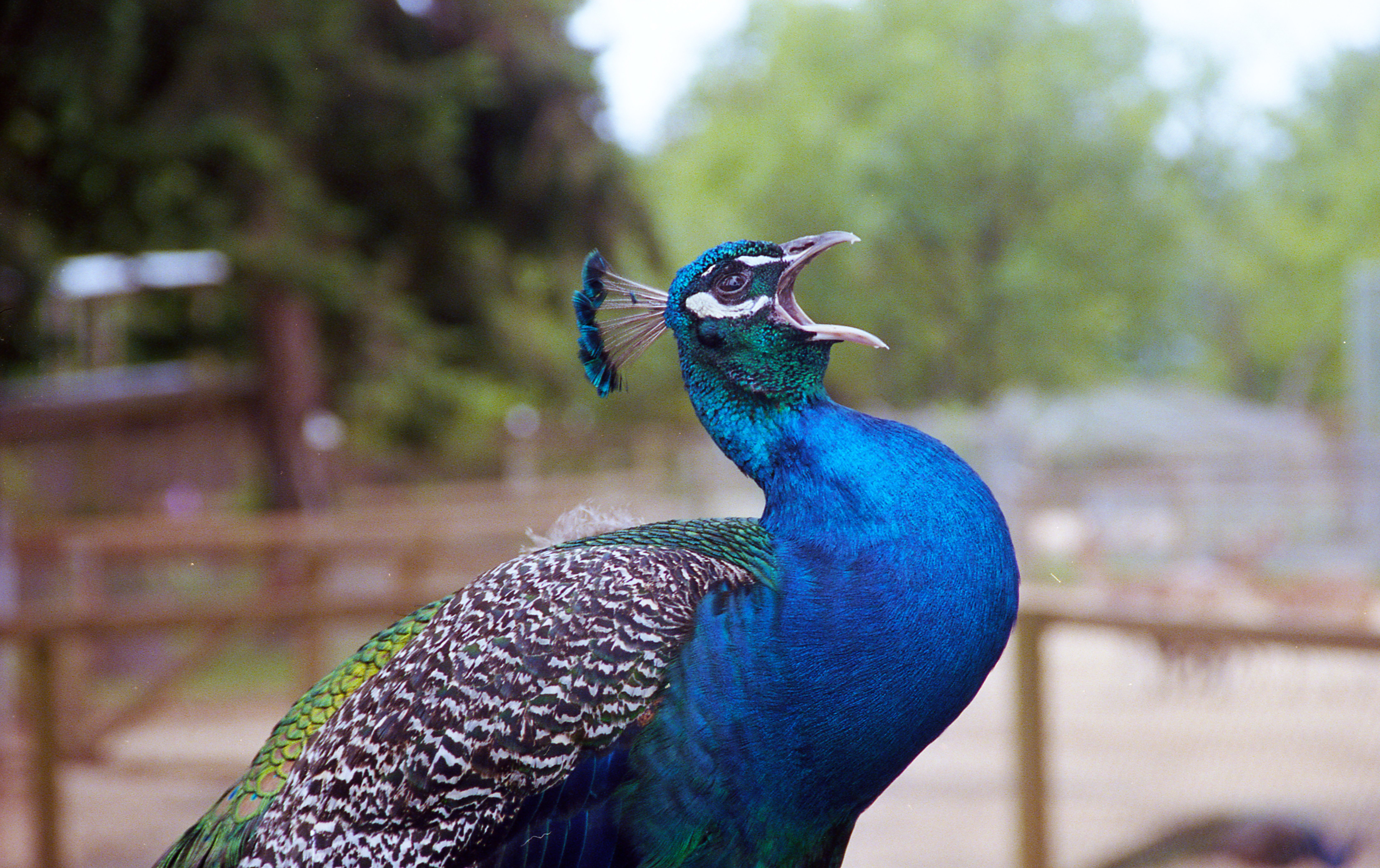
Peacock is looking for some!

Day 184/365 - Killer Beast

Capys can sleep securely, knowing The Duck is on guard

flor_bandon-13-36
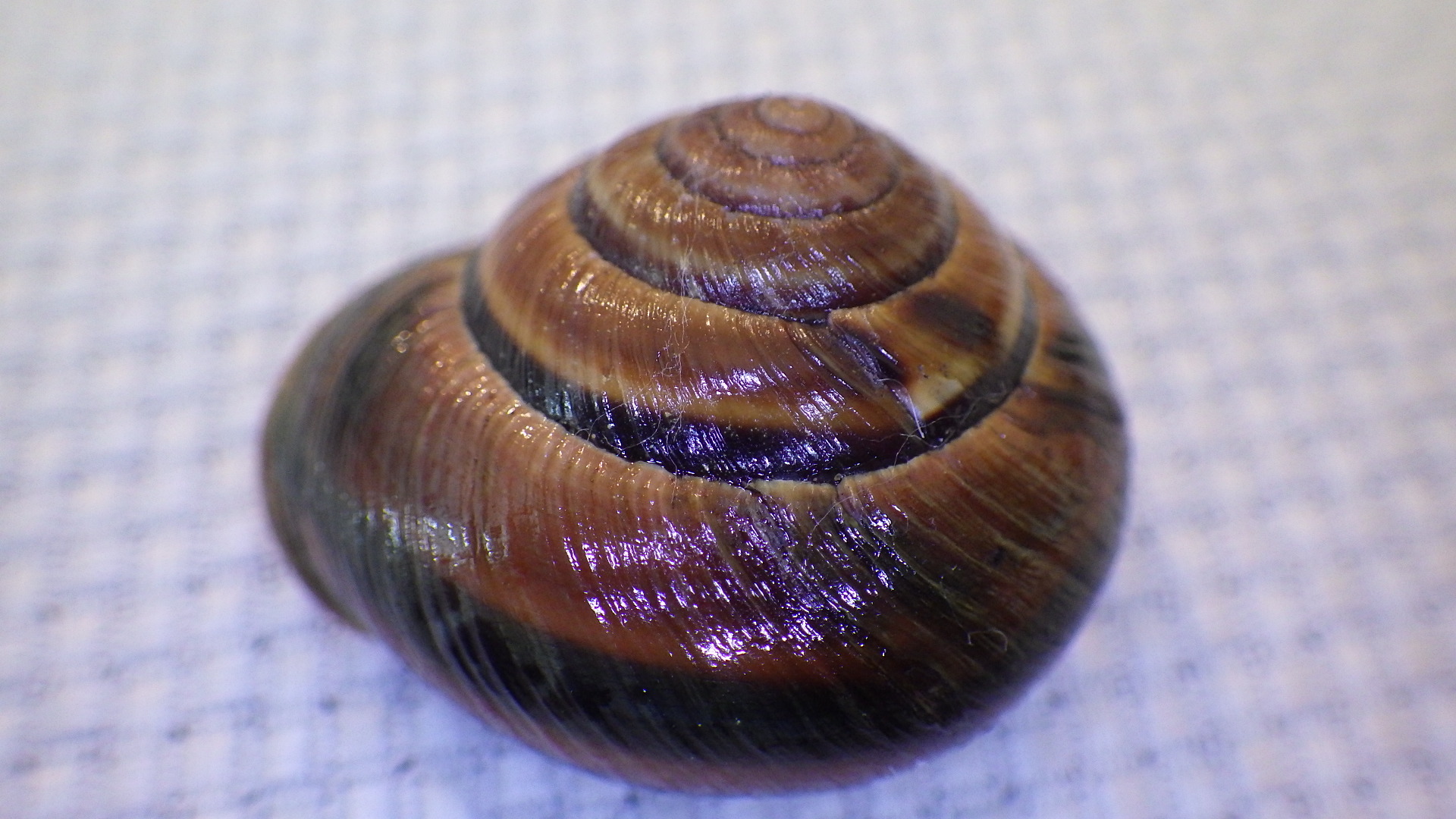
Monadenia fidelis flava Hemphill, 1892
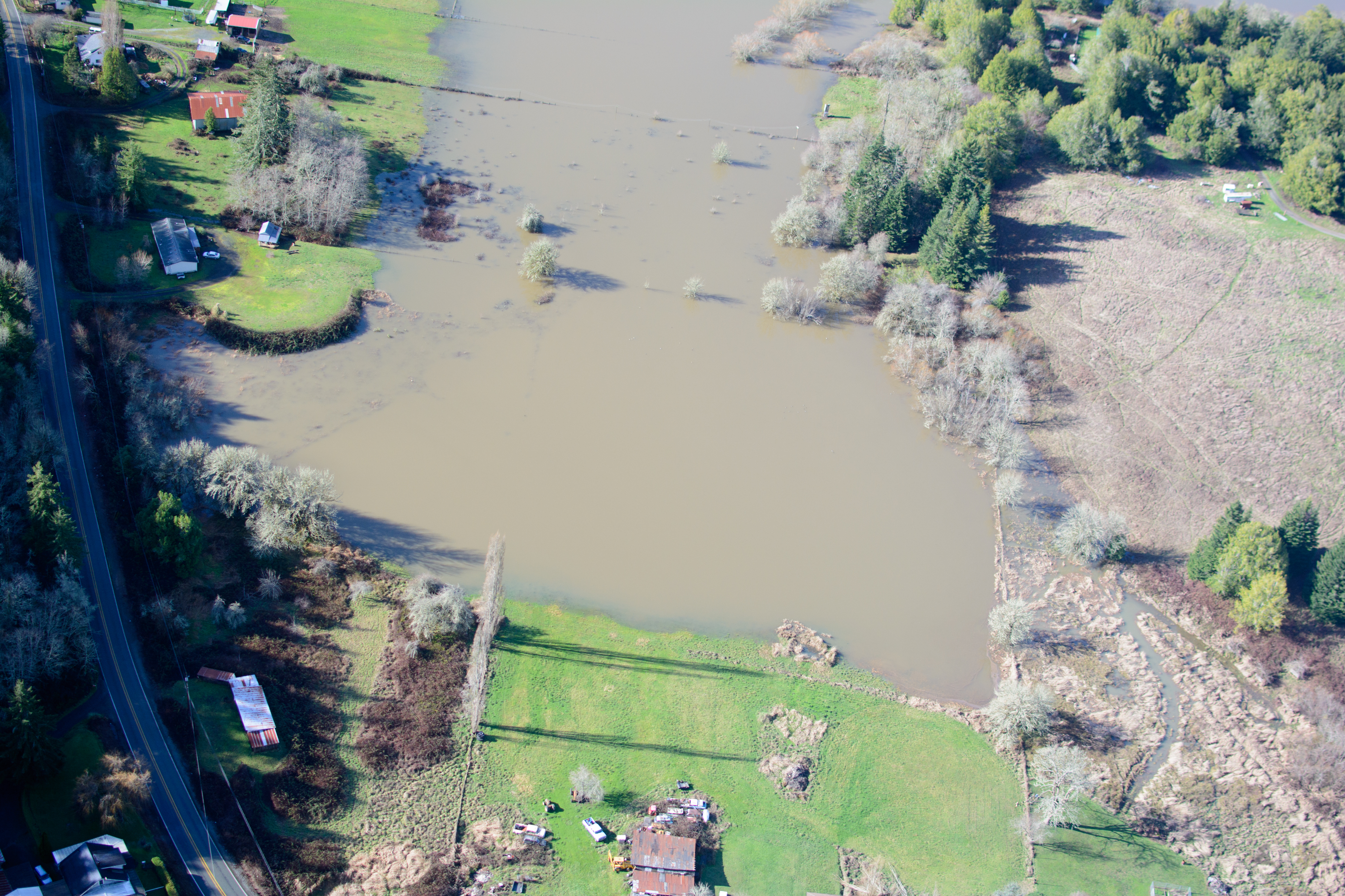
King Tide, Coquille River at Gray Creek, Coquille
King Tide, Coquille River at Gray Creek, Coquille
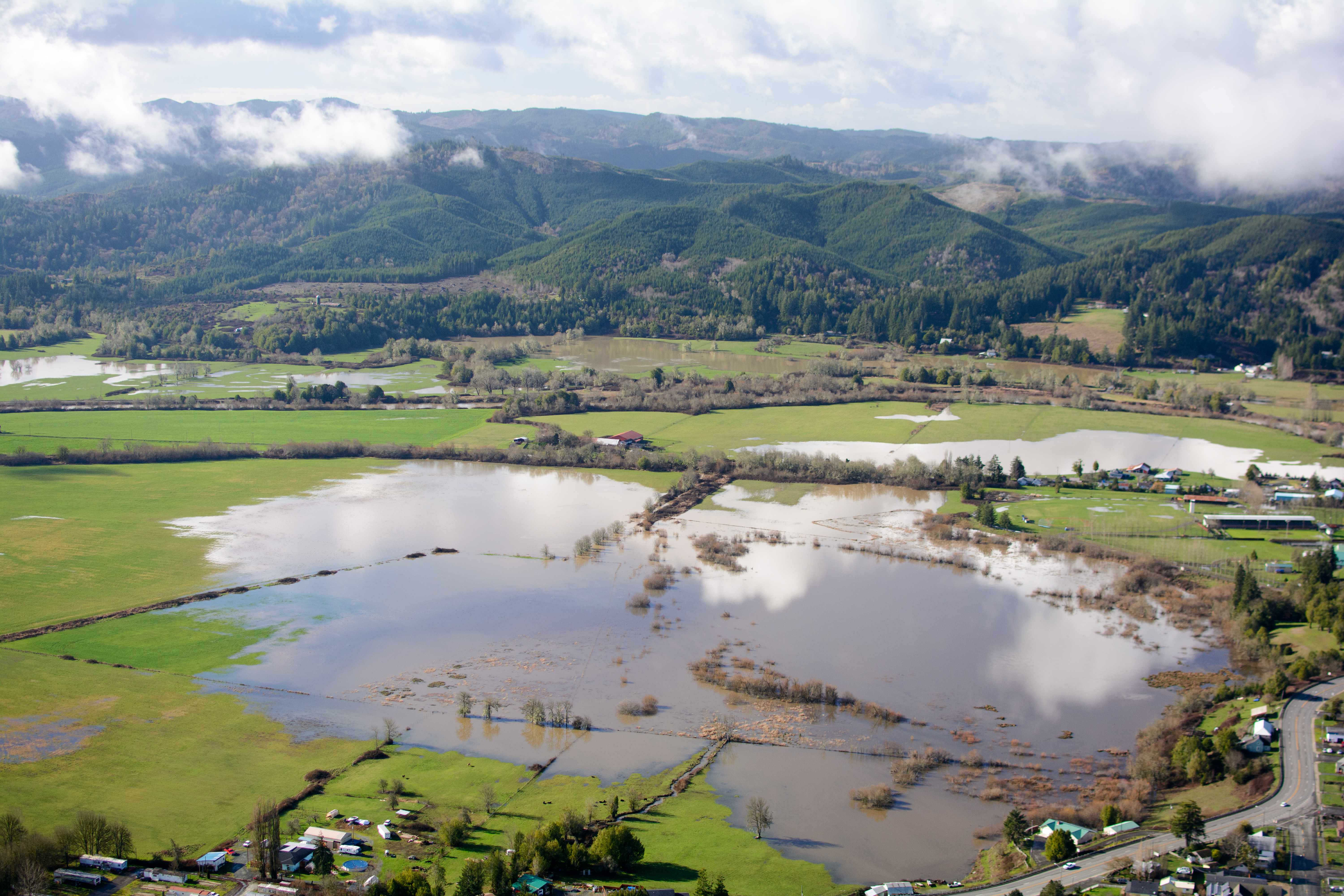
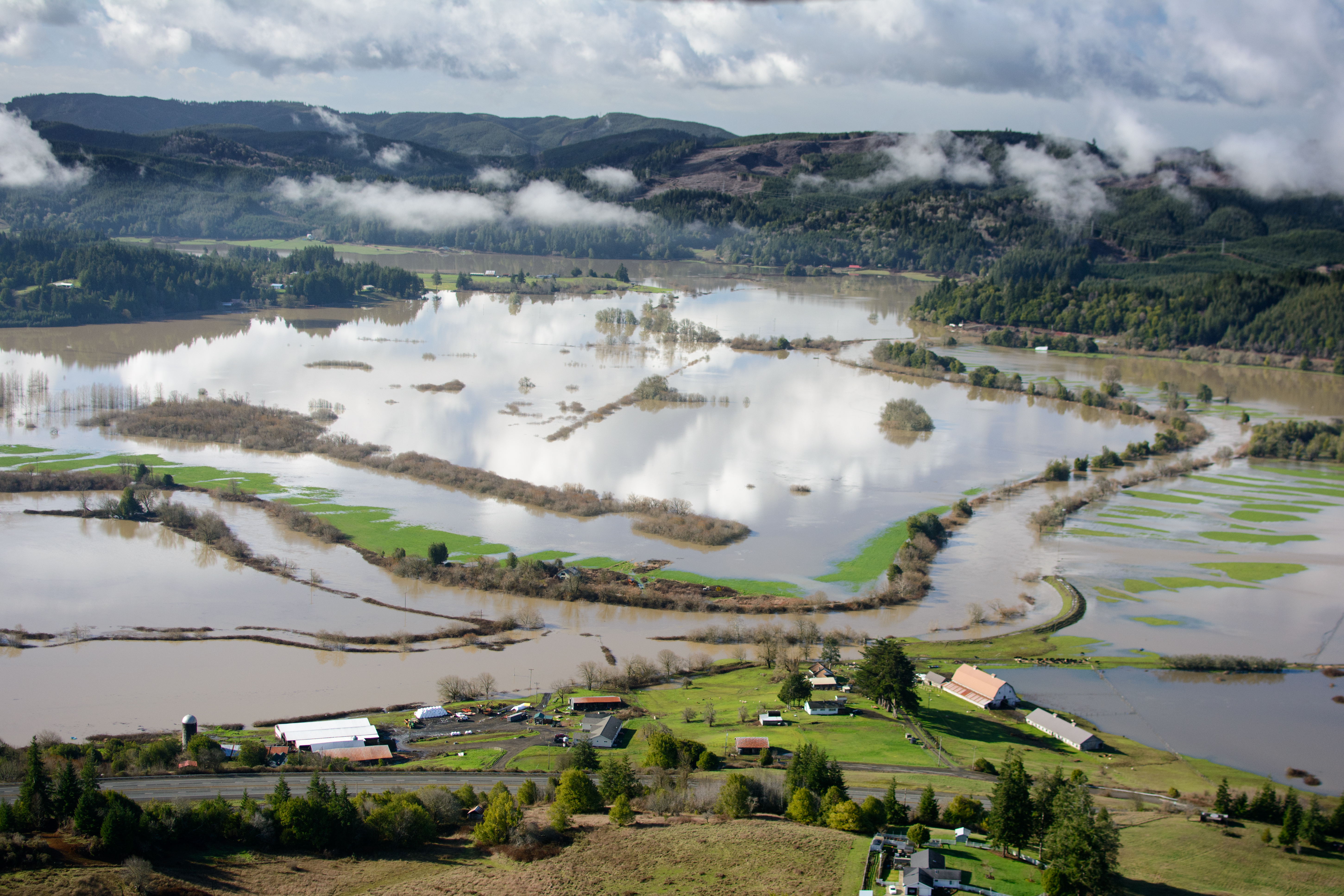
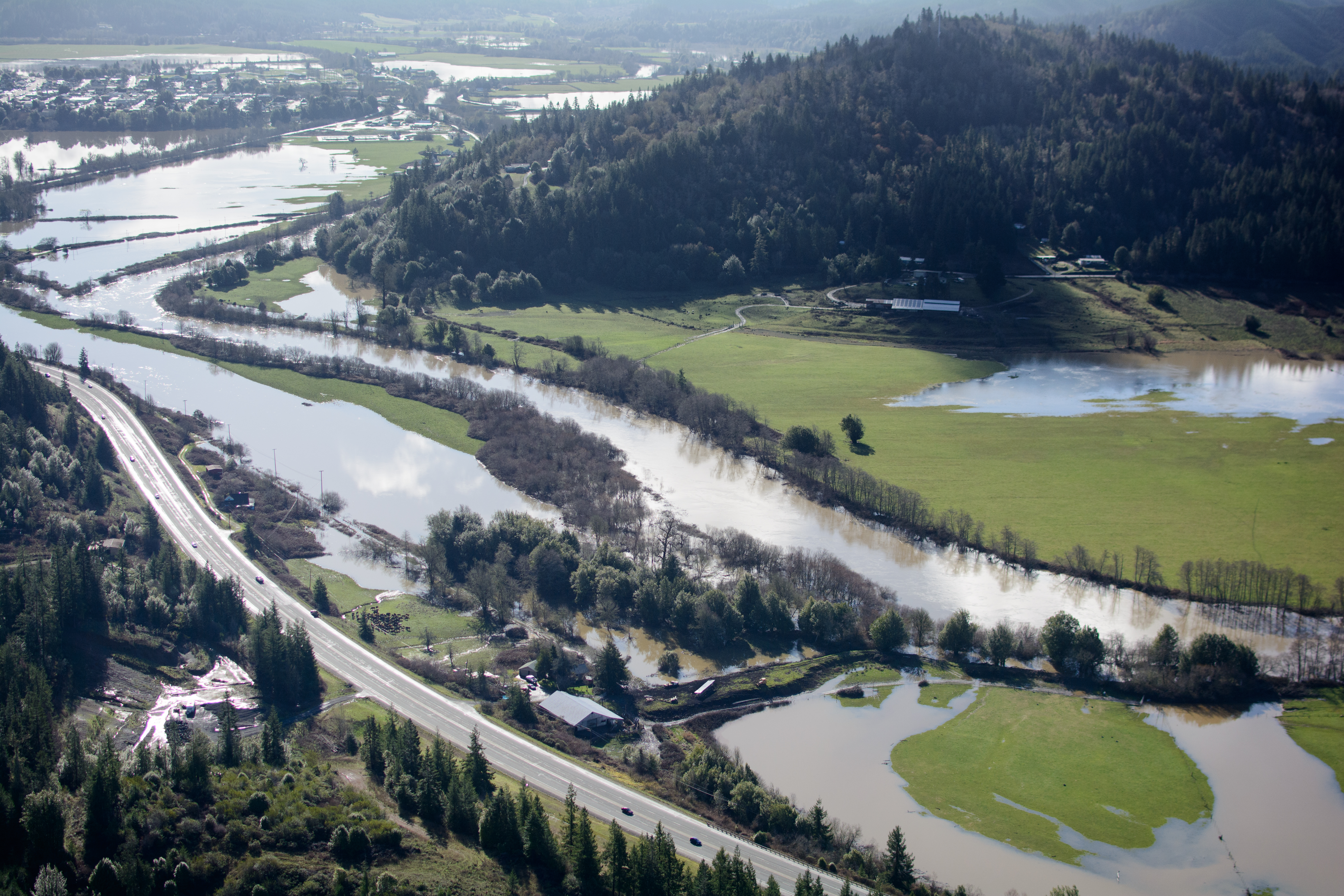
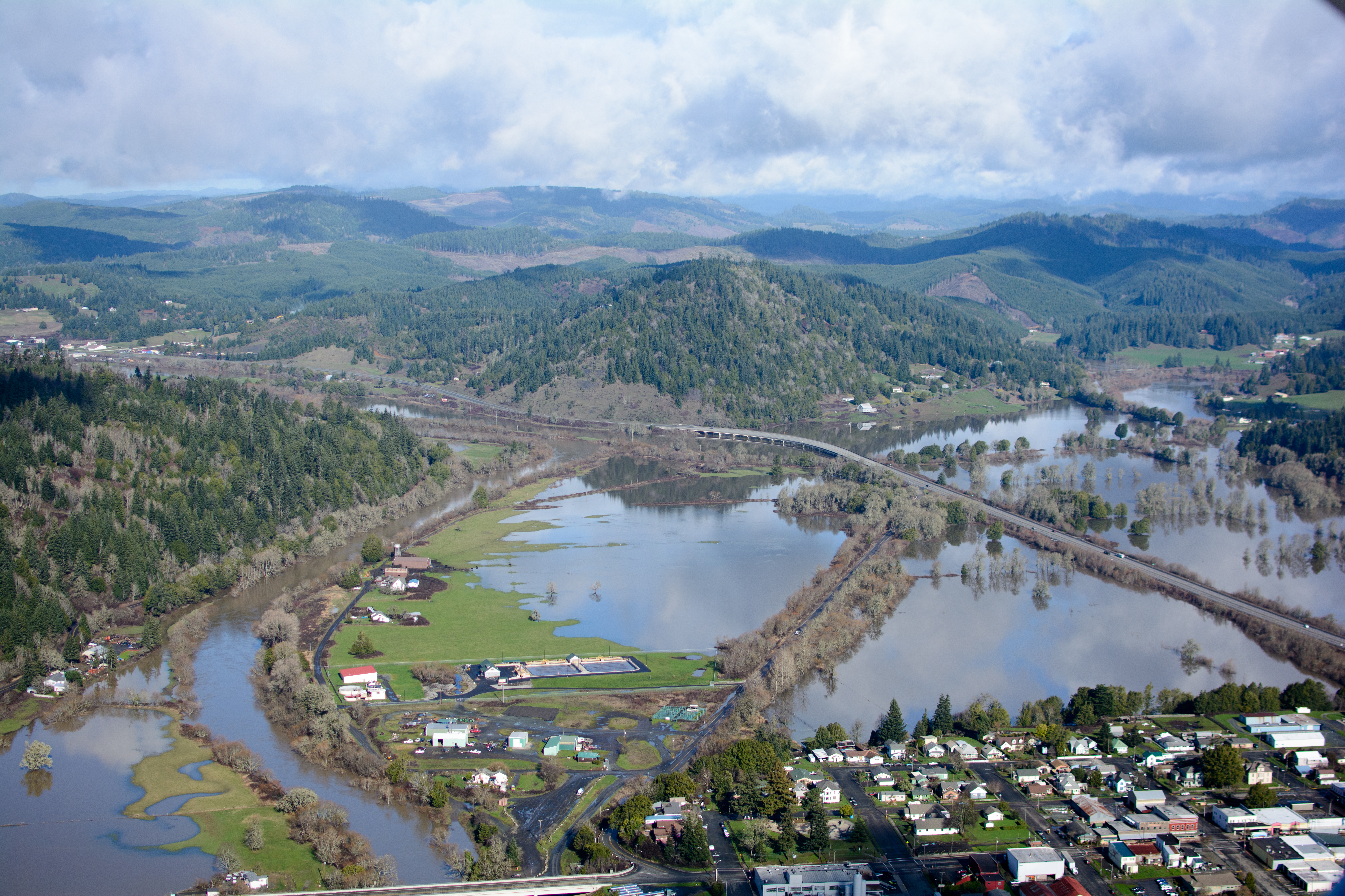
King Tide, Coquille River at Myrtle Point (see map)

King Tide, Coquille River at Myrtle Point (see map)

King Tide, Coquille River at Norway
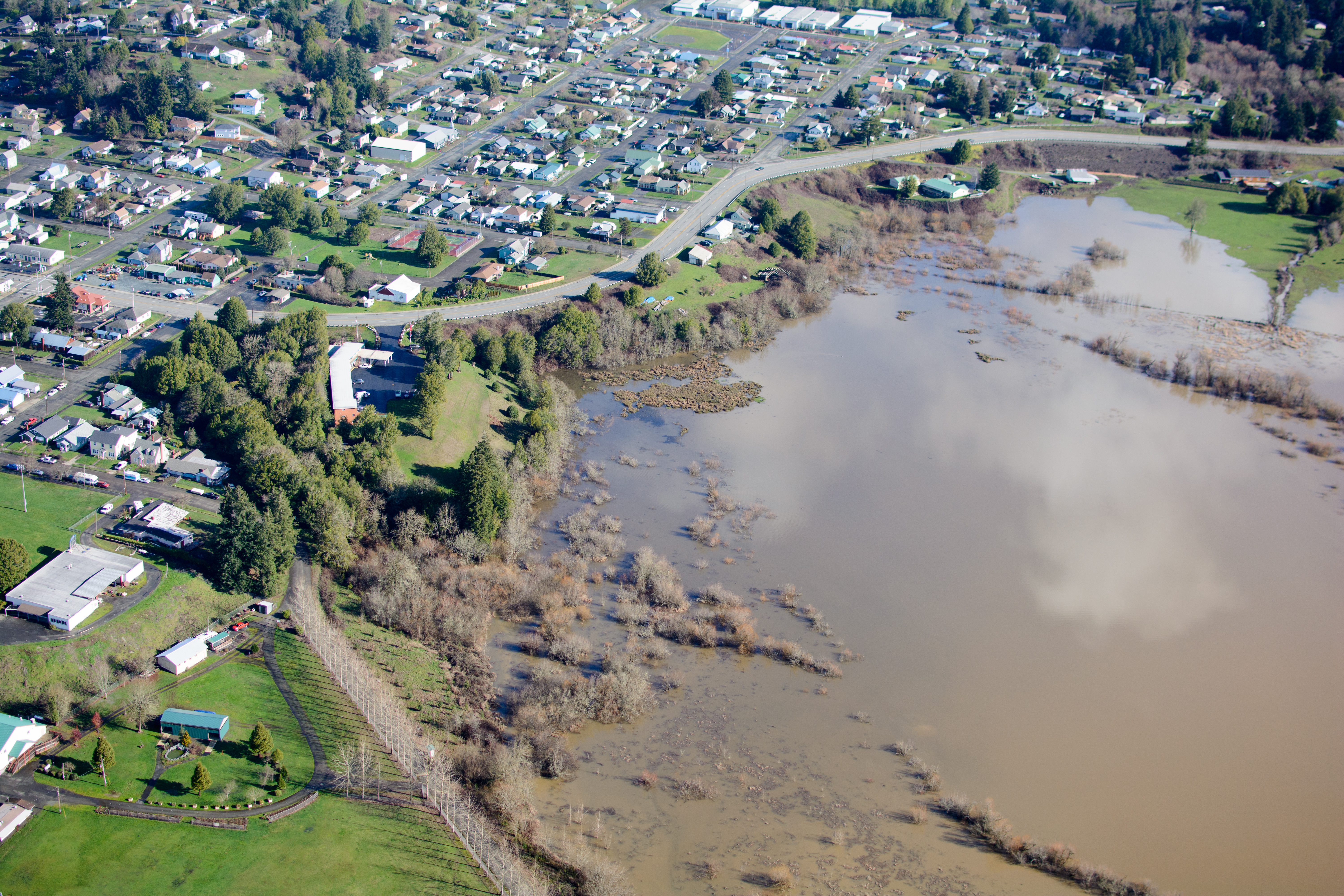
King Tide, Coquille River at Maryland Ave., Myrtle Point (see map)
King Tide, Coquille River at Myrtle Point (see map)
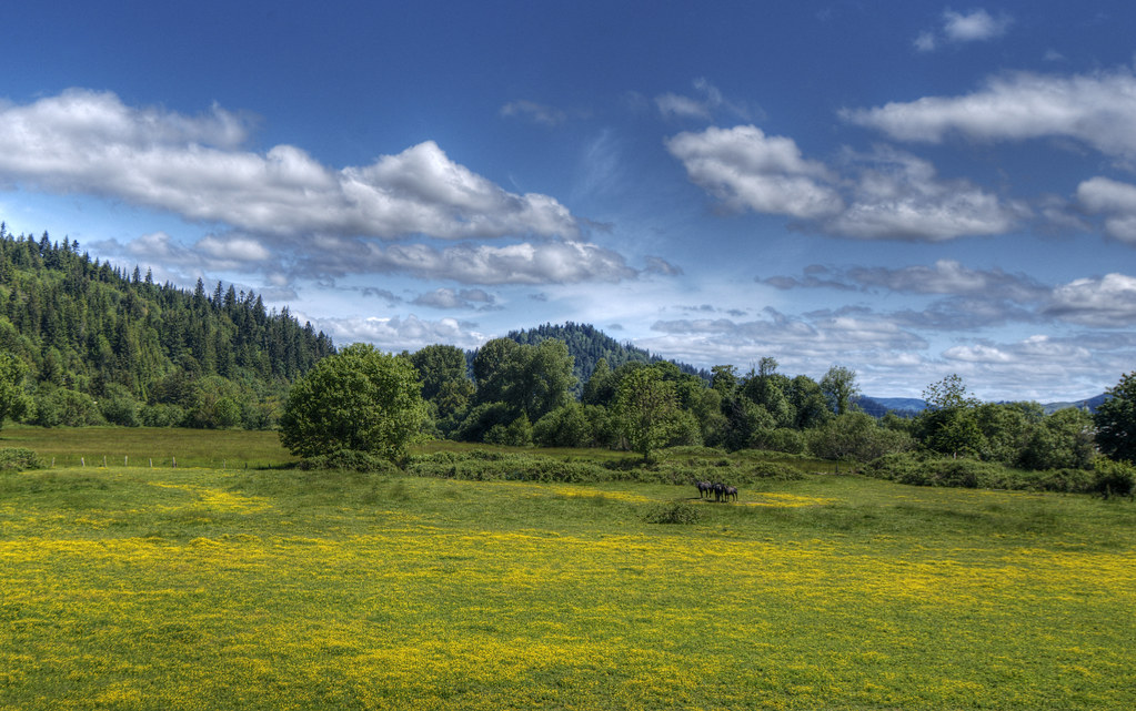
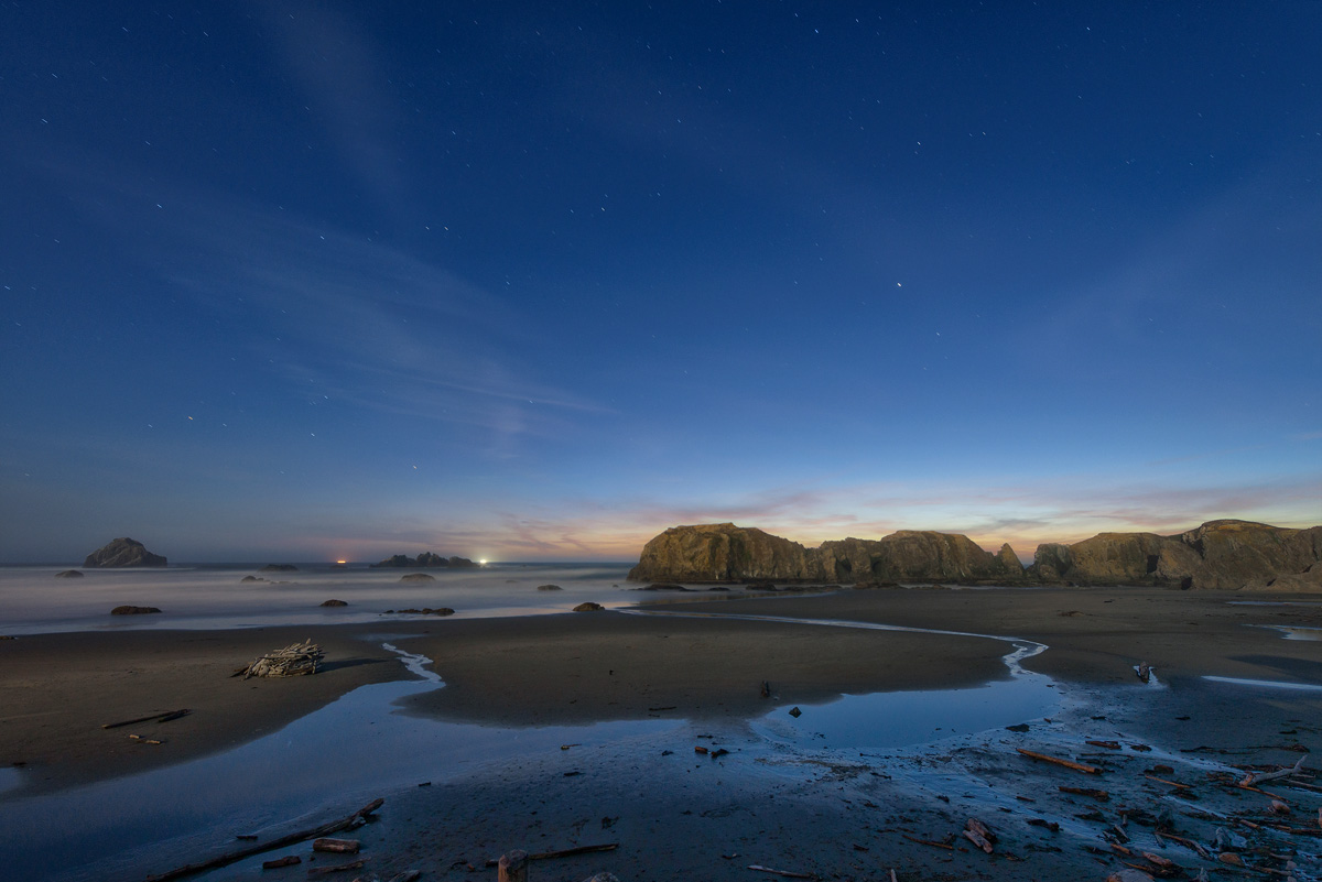
Oregon Landscape
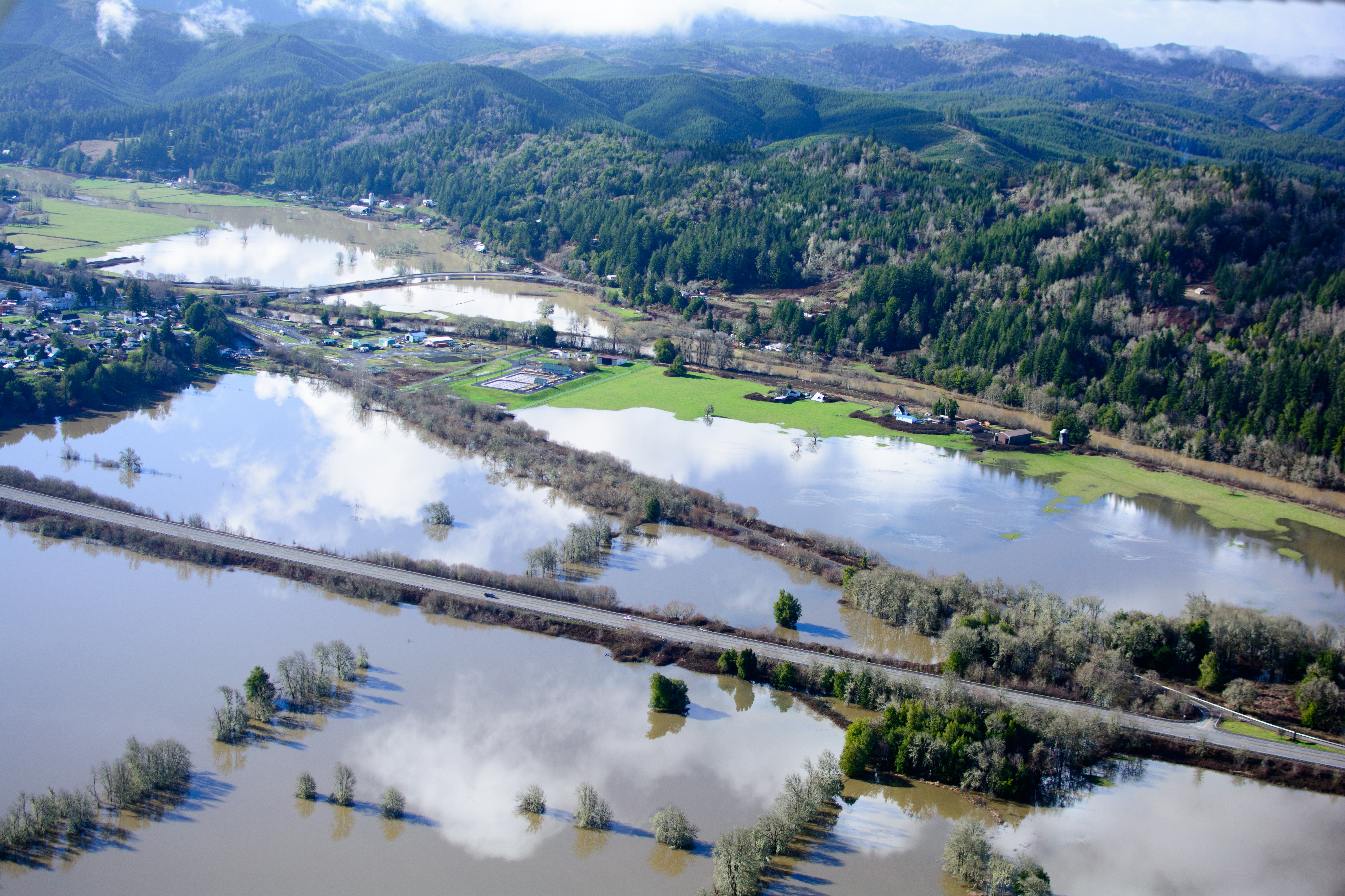
King Tide, Coquille River between Norway and Myrtle Point (see map)
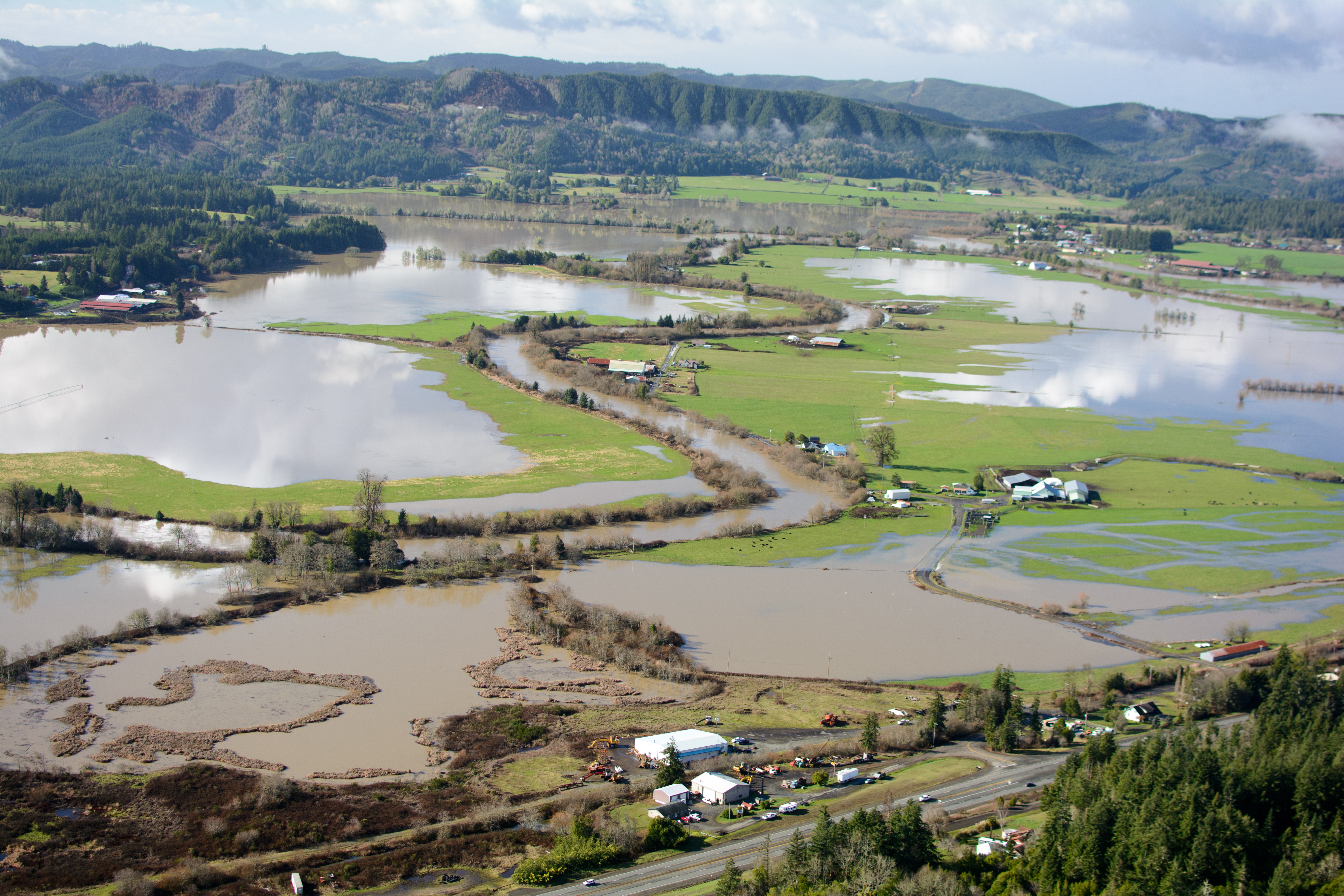
King Tide, Coquille River at Lower Norway Ln., Norway

BARN & FIELD
King Tide, Coquille River at Lampa Ln. bridge, Myrtle Point (see map)
1117_USA_Oregon_Sept_2012 copy

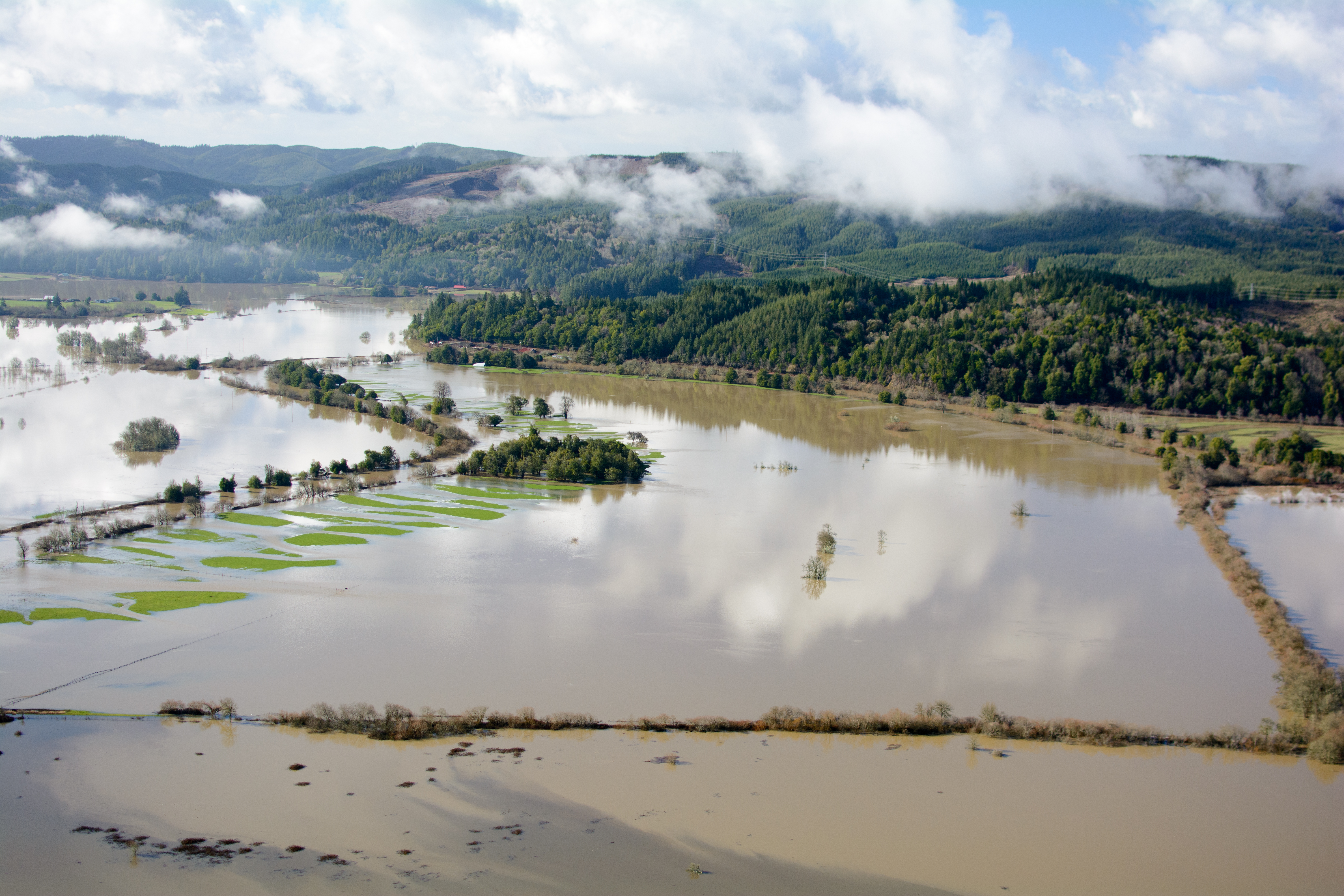
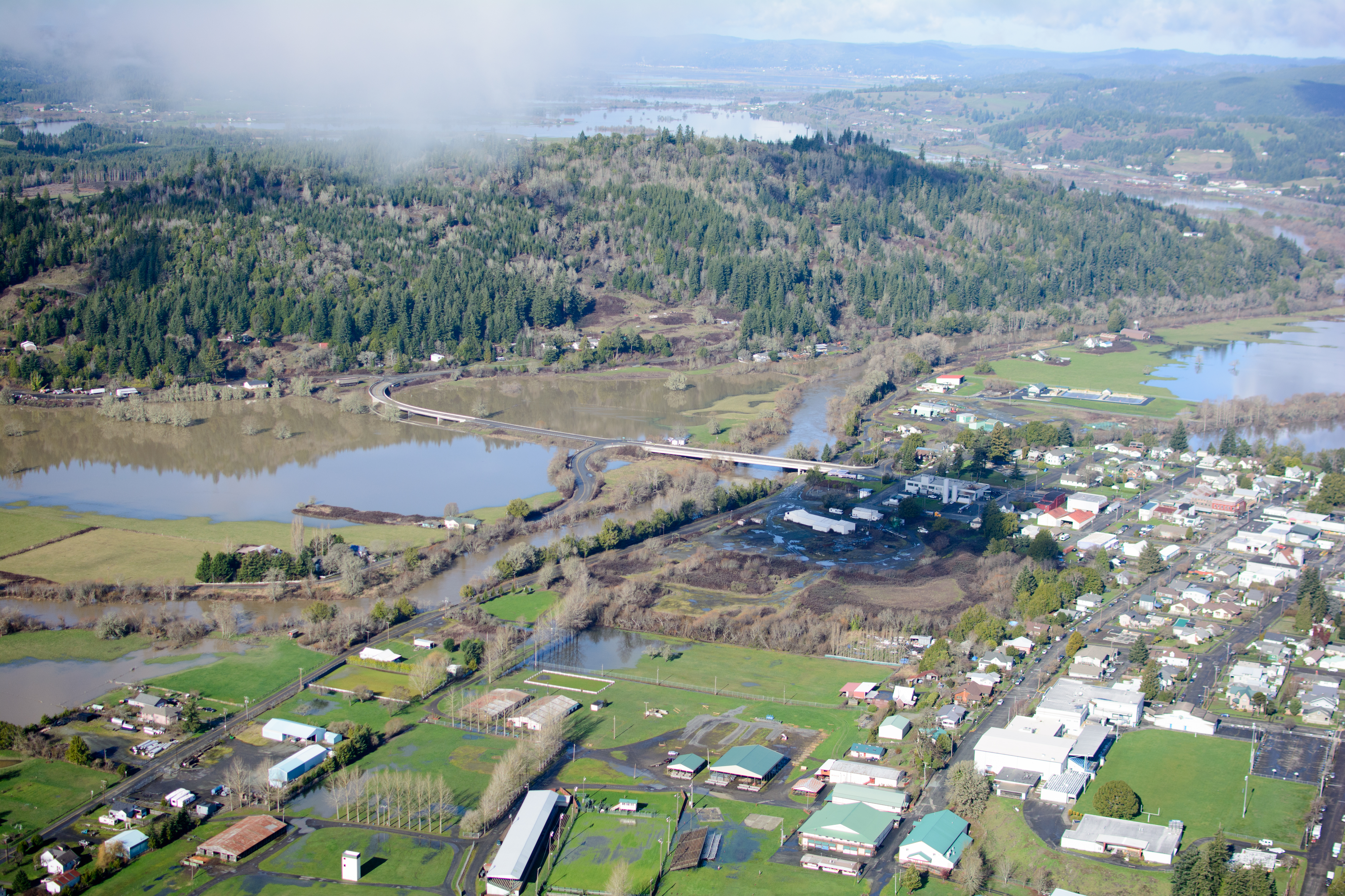
King Tide, Coquille River at Myrtle Point (see map)
King Tide, Coquille River at Myrtle Point (see map)
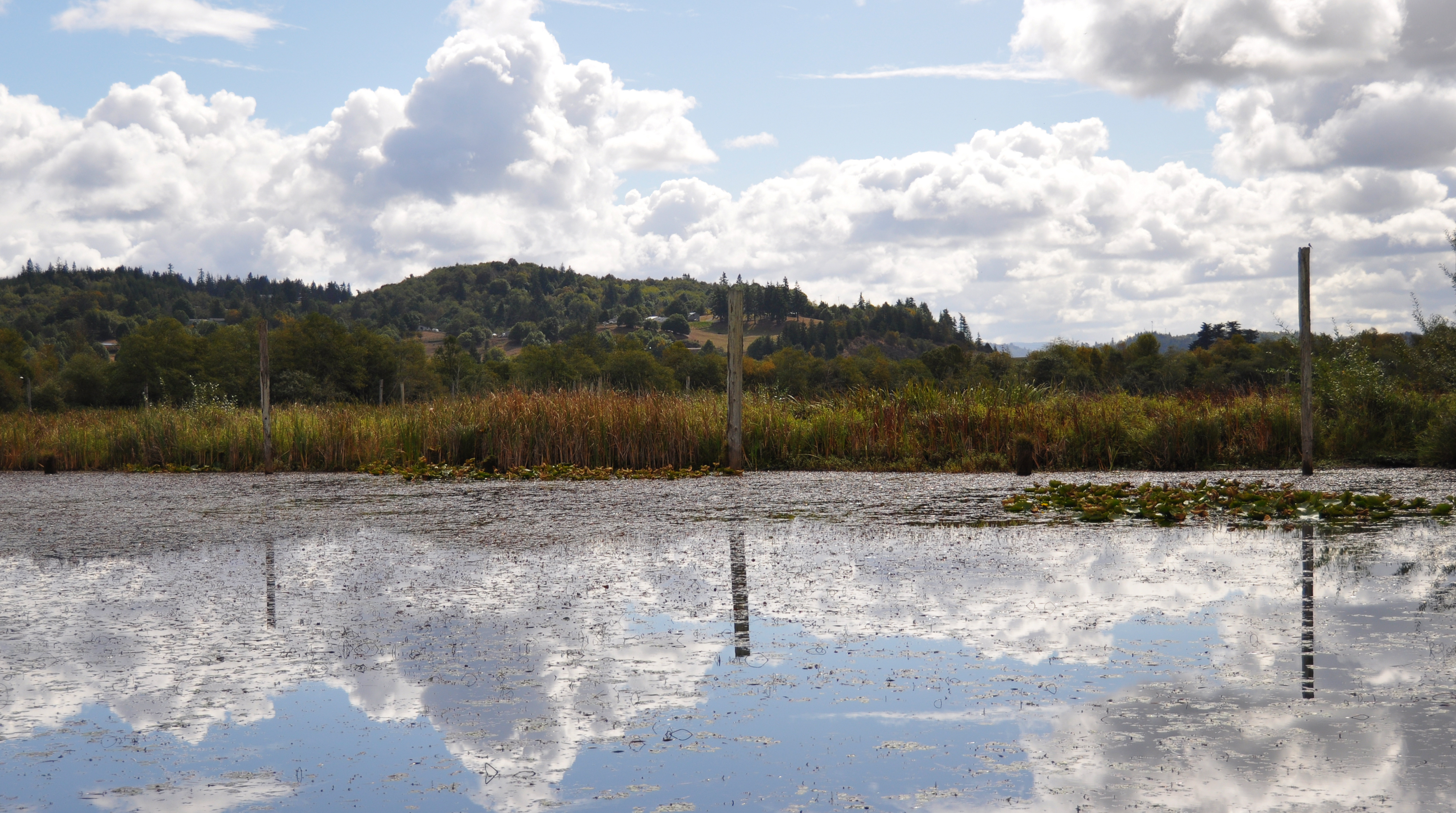
Johnson Mills Lake

Oregon Covered Bridge
#langlois #iphonography #bandonbound #landscapephotography
King Tide, Coquille River at Sitkum Ln., Myrtle Point (see map)
Topographic Map of Catching Creek Ln, Myrtle Point, OR, USA
Find elevation by address:

Places near Catching Creek Ln, Myrtle Point, OR, USA:
204 Maple St
204 Maple St
Myrtle Point
1063 Myrtle Crest Ln
621 25th St
Old Hwy 42, Myrtle Point, OR, USA
91494 Main Ln
54532 Morrison Rd
Bandon, OR, USA
795 Se 3rd Ave
151 W Date St
2004 Windhurst Rd
47 Cedar St
Powers
Beaver Hill Disposal Site
281 W 4th St
Coquille
E 3rd St, Coquille, OR, USA
524 2nd Ave
516 N Baxter St
Recent Searches:
- Elevation of Corso Fratelli Cairoli, 35, Macerata MC, Italy
- Elevation of Tallevast Rd, Sarasota, FL, USA
- Elevation of 4th St E, Sonoma, CA, USA
- Elevation of Black Hollow Rd, Pennsdale, PA, USA
- Elevation of Oakland Ave, Williamsport, PA, USA
- Elevation of Pedrógão Grande, Portugal
- Elevation of Klee Dr, Martinsburg, WV, USA
- Elevation of Via Roma, Pieranica CR, Italy
- Elevation of Tavkvetili Mountain, Georgia
- Elevation of Hartfords Bluff Cir, Mt Pleasant, SC, USA