Elevation of Manerajuri, Maharashtra, India
| Latitude | 17.0243522 |
|---|---|
| Longitude | 74.6985492 |
| Elevation | 640m / 2100feet |
| Barometric Pressure | 939KPa |
Related Photos:

Crescent Moon

Scaly-breasted munia

Driving to sangli, my home
Under Construction
OL_D TV ; )

Purple Sunbird (शक्कर खोरा, सूर्यपक्षी, शिंजीर)

Siamese Twin Gerbera daisy..

Under Construction

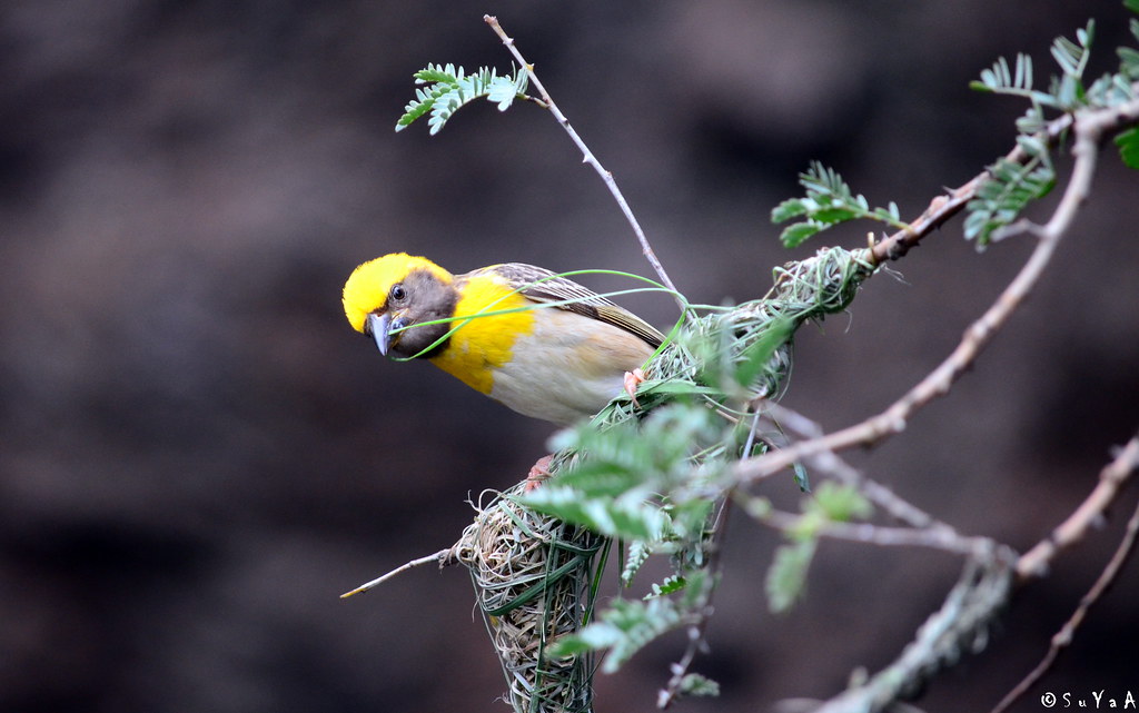
Baya weaver (सुगरण)
Topographic Map of Manerajuri, Maharashtra, India
Find elevation by address:
Places in Manerajuri, Maharashtra, India:
Places near Manerajuri, Maharashtra, India:
Sherimala Road
Yogewadi
Upalavi
Soni
Nagaon Kavathe
Bhosale Mala Road
Neharunagar
Vasumbe Phata
Sambarwadi
Shirdhon
Kharshing
Morgaon
Shirgaon Kavathe
Kawaji Khotwadi
Tanang
Shindewadi H
Midc Kupwad
Kavathe Mahankal
Hajarwadi
Hingangaon
Recent Searches:
- Elevation of 104, Chancery Road, Middletown Township, Bucks County, Pennsylvania, 19047, USA
- Elevation of 1212, Cypress Lane, Dayton, Liberty County, Texas, 77535, USA
- Elevation map of Central Hungary, Hungary
- Elevation map of Pest, Central Hungary, Hungary
- Elevation of Pilisszentkereszt, Pest, Central Hungary, Hungary
- Elevation of Dharamkot Tahsil, Punjab, India
- Elevation of Bhinder Khurd, Dharamkot Tahsil, Punjab, India
- Elevation of 2881, Chabot Drive, San Bruno, San Mateo County, California, 94066, USA
- Elevation of 10370, West 107th Circle, Westminster, Jefferson County, Colorado, 80021, USA
- Elevation of 611, Roman Road, Old Ford, Bow, London, England, E3 2RW, United Kingdom
- Elevation of 116, Beartown Road, Underhill, Chittenden County, Vermont, 05489, USA
- Elevation of Window Rock, Colfax County, New Mexico, 87714, USA
- Elevation of 4807, Rosecroft Street, Kempsville Gardens, Virginia Beach, Virginia, 23464, USA
- Elevation map of Matawinie, Quebec, Canada
- Elevation of Sainte-Émélie-de-l'Énergie, Matawinie, Quebec, Canada
- Elevation of Rue du Pont, Sainte-Émélie-de-l'Énergie, Matawinie, Quebec, J0K2K0, Canada
- Elevation of 8, Rue de Bécancour, Blainville, Thérèse-De Blainville, Quebec, J7B1N2, Canada
- Elevation of Wilmot Court North, 163, University Avenue West, Northdale, Waterloo, Region of Waterloo, Ontario, N2L6B6, Canada
- Elevation map of Panamá Province, Panama
- Elevation of Balboa, Panamá Province, Panama