Elevation of Kavathe Mahankal, Maharashtra, India
Location: India > Maharashtra > Sangli >
Longitude: 74.8653331
Latitude: 17.0089686
Elevation: 633m / 2077feet
Barometric Pressure: 94KPa
Elevation Map:
Satellite Map:
Related Photos:
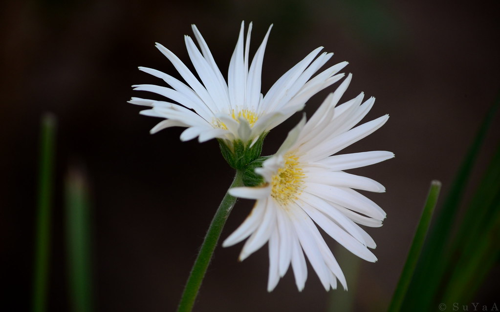
Siamese Twin Gerbera daisy..

Purple Sunbird (शक्कर खोरा, सूर्यपक्षी, शिंजीर)

Advika at vasa
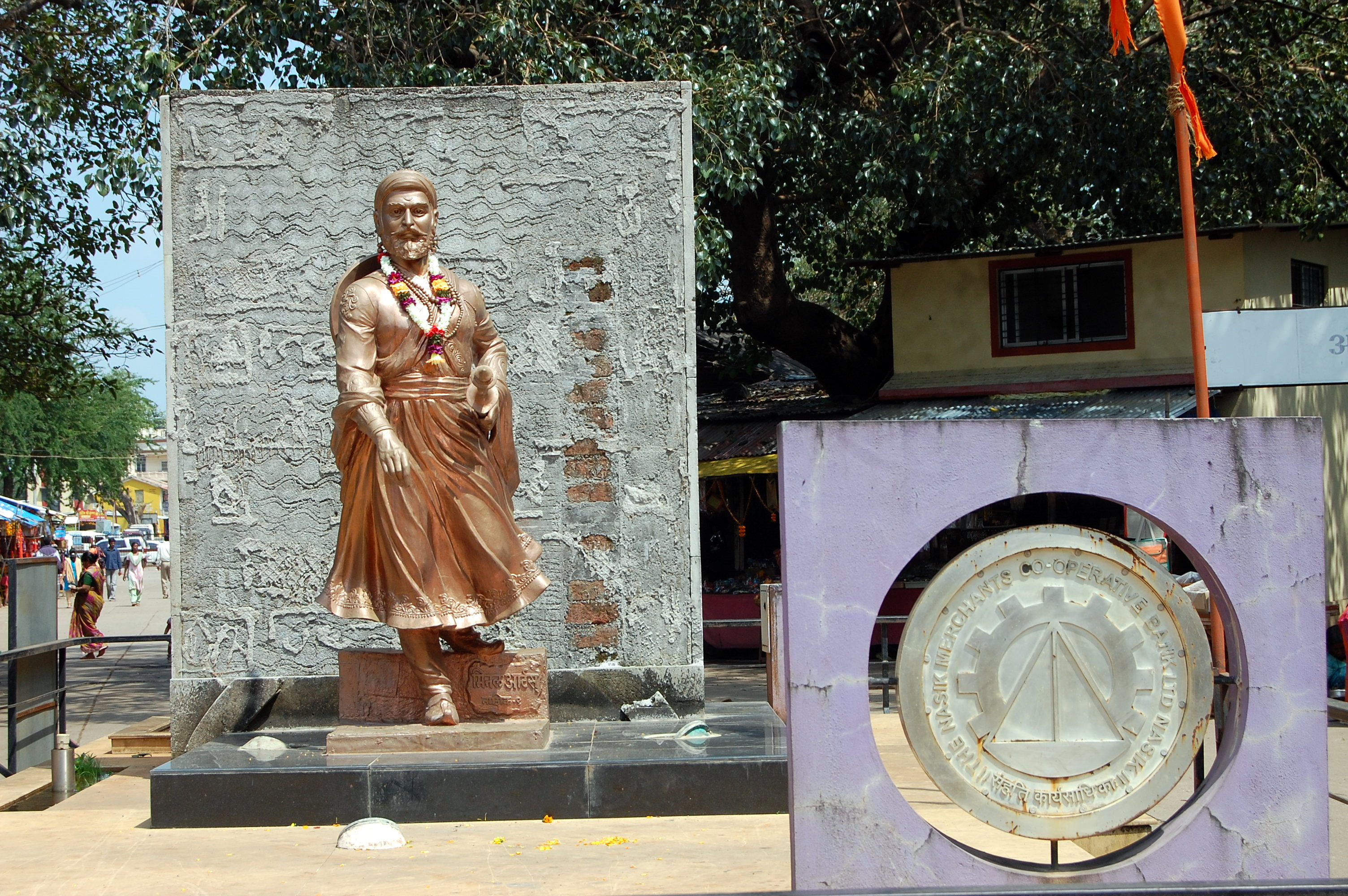
Statue of Shivaji at Jyotirlingaas Shiva Mandir Campus, Nashik
Topographic Map of Kavathe Mahankal, Maharashtra, India
Find elevation by address:

Places in Kavathe Mahankal, Maharashtra, India:
Places near Kavathe Mahankal, Maharashtra, India:
Shindewadi H
Hingangaon
Morgaon
Mhaisal M
Shirdhon
Rampurwadi
Kuktoli
Kharshing
Kadamwadi
Yogewadi
Sherimala Road
Manerajuri
Soni
Upalavi
Sambarwadi
Bhosale Mala Road
Tanang
Nagaon Kavathe
Neharunagar
Vasumbe Phata
Recent Searches:
- Elevation of Corso Fratelli Cairoli, 35, Macerata MC, Italy
- Elevation of Tallevast Rd, Sarasota, FL, USA
- Elevation of 4th St E, Sonoma, CA, USA
- Elevation of Black Hollow Rd, Pennsdale, PA, USA
- Elevation of Oakland Ave, Williamsport, PA, USA
- Elevation of Pedrógão Grande, Portugal
- Elevation of Klee Dr, Martinsburg, WV, USA
- Elevation of Via Roma, Pieranica CR, Italy
- Elevation of Tavkvetili Mountain, Georgia
- Elevation of Hartfords Bluff Cir, Mt Pleasant, SC, USA