Elevation of Neharunagar, Vrindavan Colony, Tasgaon, Maharashtra, India
| Latitude | 17.0302997 |
|---|---|
| Longitude | 74.6085665 |
| Elevation | 582m / 1909feet |
| Barometric Pressure | 945KPa |
Related Photos:

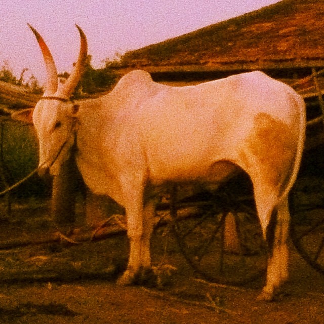
Driving to sangli, my home
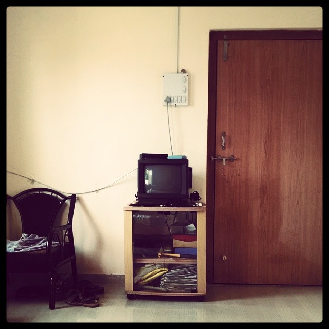
OL_D TV ; )

Int#rusting
Seen better days

The #door that was #lock ed

Setting #sun
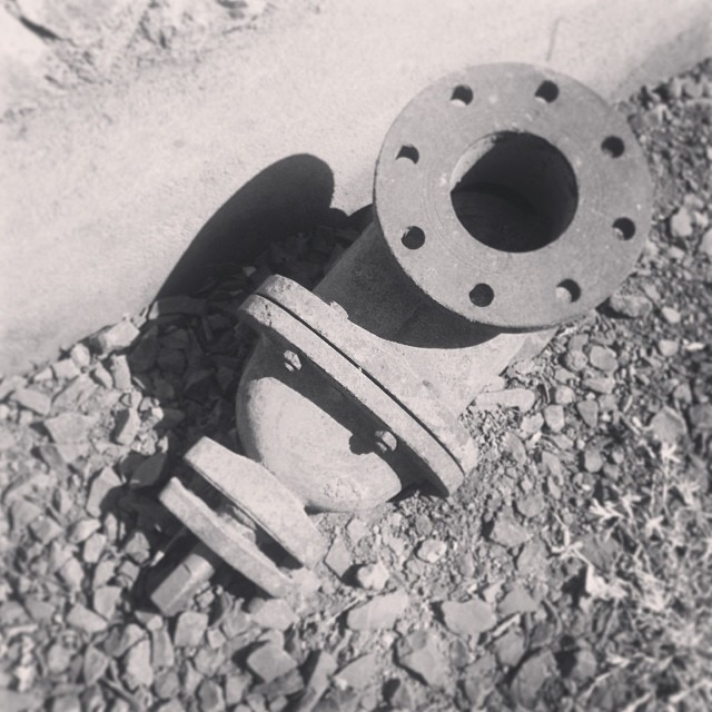
The #traction #unit

The #traction #unit

#setting #sun #sunset in the #farms
Topographic Map of Neharunagar, Vrindavan Colony, Tasgaon, Maharashtra, India
Find elevation by address:
Places near Neharunagar, Vrindavan Colony, Tasgaon, Maharashtra, India:
Vasumbe Phata
Nagaon Kavathe
Shirgaon Kavathe
Hajarwadi
Upalavi
Kawaji Khotwadi
Manerajuri
Bhosale Mala Road
Sherimala Road
Nandre
Sambarwadi
Soni
Yogewadi
Shaniwar Peth
Pawar Mala
Raviwar Peth
Padmale
Aayodhya Nagar
Midc Kupwad
Tanang
Recent Searches:
- Elevation of 104, Chancery Road, Middletown Township, Bucks County, Pennsylvania, 19047, USA
- Elevation of 1212, Cypress Lane, Dayton, Liberty County, Texas, 77535, USA
- Elevation map of Central Hungary, Hungary
- Elevation map of Pest, Central Hungary, Hungary
- Elevation of Pilisszentkereszt, Pest, Central Hungary, Hungary
- Elevation of Dharamkot Tahsil, Punjab, India
- Elevation of Bhinder Khurd, Dharamkot Tahsil, Punjab, India
- Elevation of 2881, Chabot Drive, San Bruno, San Mateo County, California, 94066, USA
- Elevation of 10370, West 107th Circle, Westminster, Jefferson County, Colorado, 80021, USA
- Elevation of 611, Roman Road, Old Ford, Bow, London, England, E3 2RW, United Kingdom
- Elevation of 116, Beartown Road, Underhill, Chittenden County, Vermont, 05489, USA
- Elevation of Window Rock, Colfax County, New Mexico, 87714, USA
- Elevation of 4807, Rosecroft Street, Kempsville Gardens, Virginia Beach, Virginia, 23464, USA
- Elevation map of Matawinie, Quebec, Canada
- Elevation of Sainte-Émélie-de-l'Énergie, Matawinie, Quebec, Canada
- Elevation of Rue du Pont, Sainte-Émélie-de-l'Énergie, Matawinie, Quebec, J0K2K0, Canada
- Elevation of 8, Rue de Bécancour, Blainville, Thérèse-De Blainville, Quebec, J7B1N2, Canada
- Elevation of Wilmot Court North, 163, University Avenue West, Northdale, Waterloo, Region of Waterloo, Ontario, N2L6B6, Canada
- Elevation map of Panamá Province, Panama
- Elevation of Balboa, Panamá Province, Panama