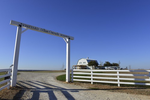
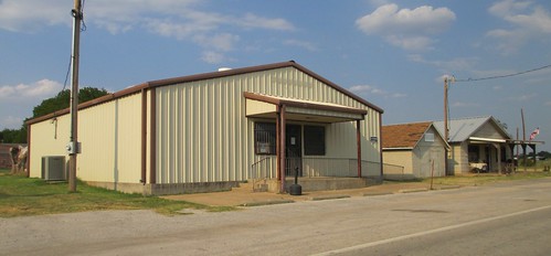
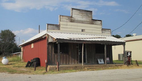
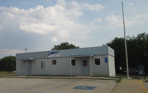
Elevation of Main St, Leon, OK, USA
Location: United States > Oklahoma > Love County > Leon >
Longitude: -97.428575
Latitude: 33.8792165
Elevation: 249m / 817feet
Barometric Pressure: 98KPa
Related Photos:
Topographic Map of Main St, Leon, OK, USA
Find elevation by address:

Places near Main St, Leon, OK, USA:
Leon
27452 Cedar Ridge St
11499 Keltner Rd
10690 Keltner Rd
Keltner Road
1641 Farm To Market Rd 2953
340 S Diamondhead Dr
OK-32, Burneyville, OK, USA
115 Falconhead Dr
Arché Winery & Vineyard
55 Falconhead Dr
46 Yukon Dr
Falconhead Airport-37k
Burneyville
2nd St, Nocona, TX, USA
146 Santa Elena Dr
Love County
Wilson
Wildflower Rd, Wilson, OK, USA
Brock Rd, Ardmore, OK, USA
Recent Searches:
- Elevation of Corso Fratelli Cairoli, 35, Macerata MC, Italy
- Elevation of Tallevast Rd, Sarasota, FL, USA
- Elevation of 4th St E, Sonoma, CA, USA
- Elevation of Black Hollow Rd, Pennsdale, PA, USA
- Elevation of Oakland Ave, Williamsport, PA, USA
- Elevation of Pedrógão Grande, Portugal
- Elevation of Klee Dr, Martinsburg, WV, USA
- Elevation of Via Roma, Pieranica CR, Italy
- Elevation of Tavkvetili Mountain, Georgia
- Elevation of Hartfords Bluff Cir, Mt Pleasant, SC, USA
