Elevation of Keltner Rd, Leon, OK, USA
Location: United States > Oklahoma > Love County > Leon >
Longitude: -97.436905
Latitude: 33.9075585
Elevation: 256m / 840feet
Barometric Pressure: 98KPa
Elevation Map:
Satellite Map:
Related Photos:

Lost Cemetery

Illinois Bend, Texas

Illinois Bend School Building, Illinois Bend, Texas Historical Marker

Illinois Bend, Texas

Illinois Bend, Texas

Illinois Bend, Texas

Arche Vineyards, St. Jo, Texas
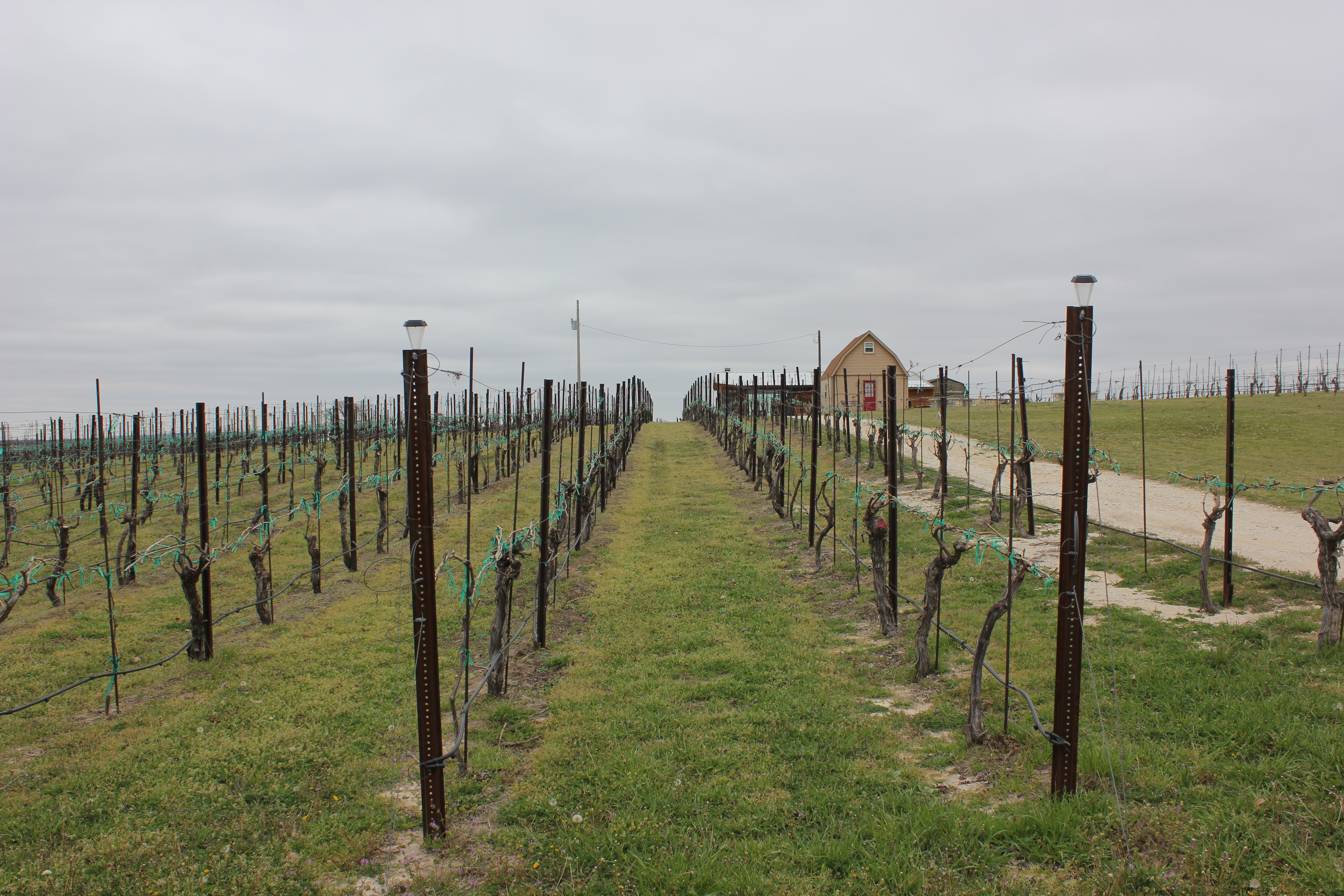
Arche Vineyards, St. Jo, Texas

Arche Vineyards, St. Jo, Texas

Illinois Bend School

Illinois Bend School

Illinois Bend School

Illinois Bend Tabernacle

Along the dirt roads of Cooke County, Texas

Along the dirt roads of Cooke County, Texas // CR408

Along the dirt roads of Cooke County, Texas

Along the dirt roads of Cooke County, Texas

Muenster dirt

Muenster dirt

Muenster dirt

End 89
Topographic Map of Keltner Rd, Leon, OK, USA
Find elevation by address:

Places near Keltner Rd, Leon, OK, USA:
10690 Keltner Rd
Keltner Road
27452 Cedar Ridge St
Leon
Main St, Leon, OK, USA
1641 Farm To Market Rd 2953
OK-32, Burneyville, OK, USA
340 S Diamondhead Dr
115 Falconhead Dr
55 Falconhead Dr
46 Yukon Dr
Falconhead Airport-37k
Burneyville
Arché Winery & Vineyard
2nd St, Nocona, TX, USA
146 Santa Elena Dr
Love County
Wilson
Wildflower Rd, Wilson, OK, USA
Brock Rd, Ardmore, OK, USA
Recent Searches:
- Elevation of Corso Fratelli Cairoli, 35, Macerata MC, Italy
- Elevation of Tallevast Rd, Sarasota, FL, USA
- Elevation of 4th St E, Sonoma, CA, USA
- Elevation of Black Hollow Rd, Pennsdale, PA, USA
- Elevation of Oakland Ave, Williamsport, PA, USA
- Elevation of Pedrógão Grande, Portugal
- Elevation of Klee Dr, Martinsburg, WV, USA
- Elevation of Via Roma, Pieranica CR, Italy
- Elevation of Tavkvetili Mountain, Georgia
- Elevation of Hartfords Bluff Cir, Mt Pleasant, SC, USA