Elevation of Burneyville, OK, USA
Location: United States > Oklahoma > Love County >
Longitude: -97.288905
Latitude: 33.907879
Elevation: 233m / 764feet
Barometric Pressure: 99KPa
Elevation Map:
Satellite Map:
Related Photos:
I wandered until the stars went dim. - 07

Love County Courthouse (Marietta, Oklahoma)

An Audi Approaching

Stillness - Quietud

Yesterday's Downpour

I wandered until the stars went dim. - 07
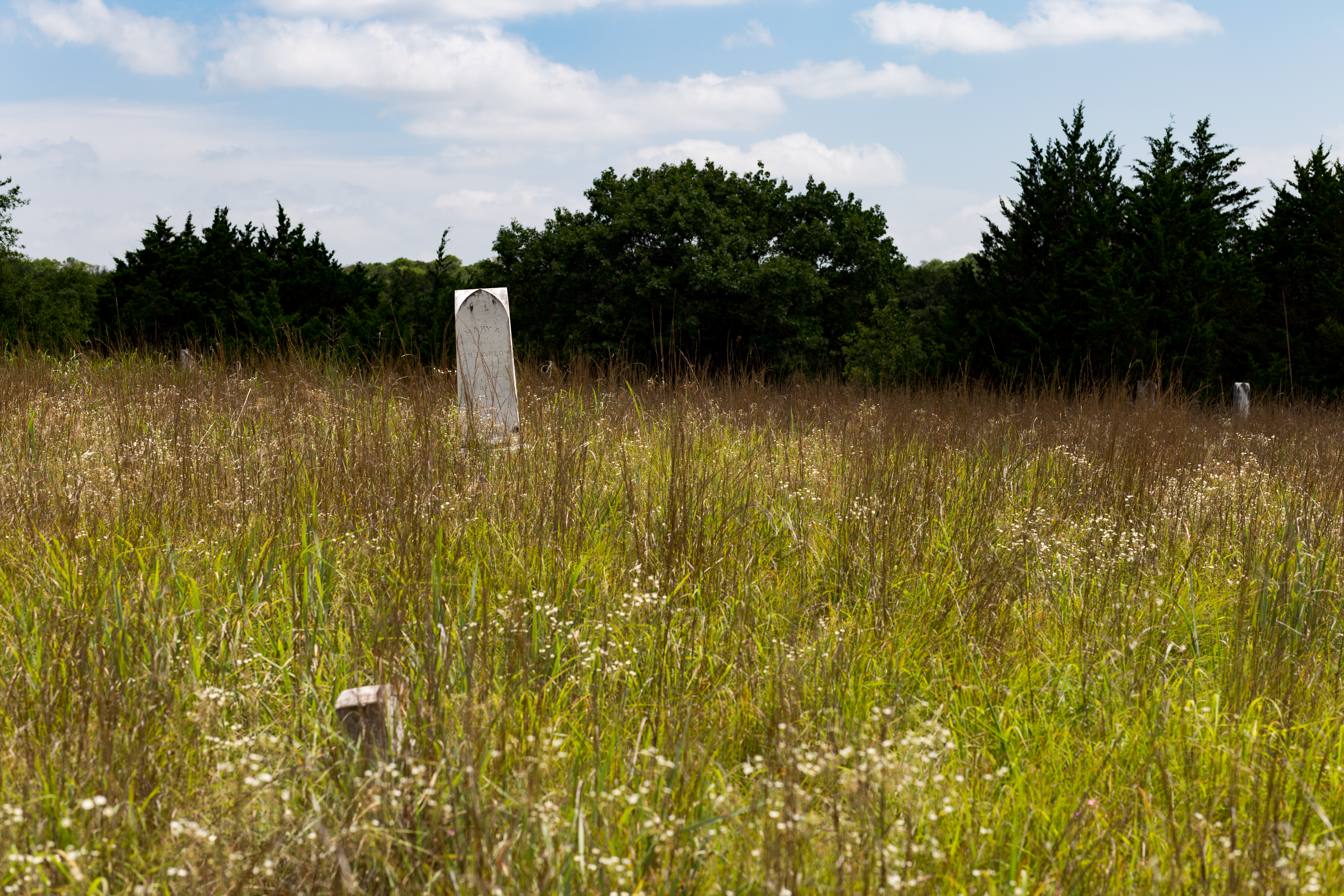
Lost Cemetery

Ruralities - Ruralidades

Jurassic Park?

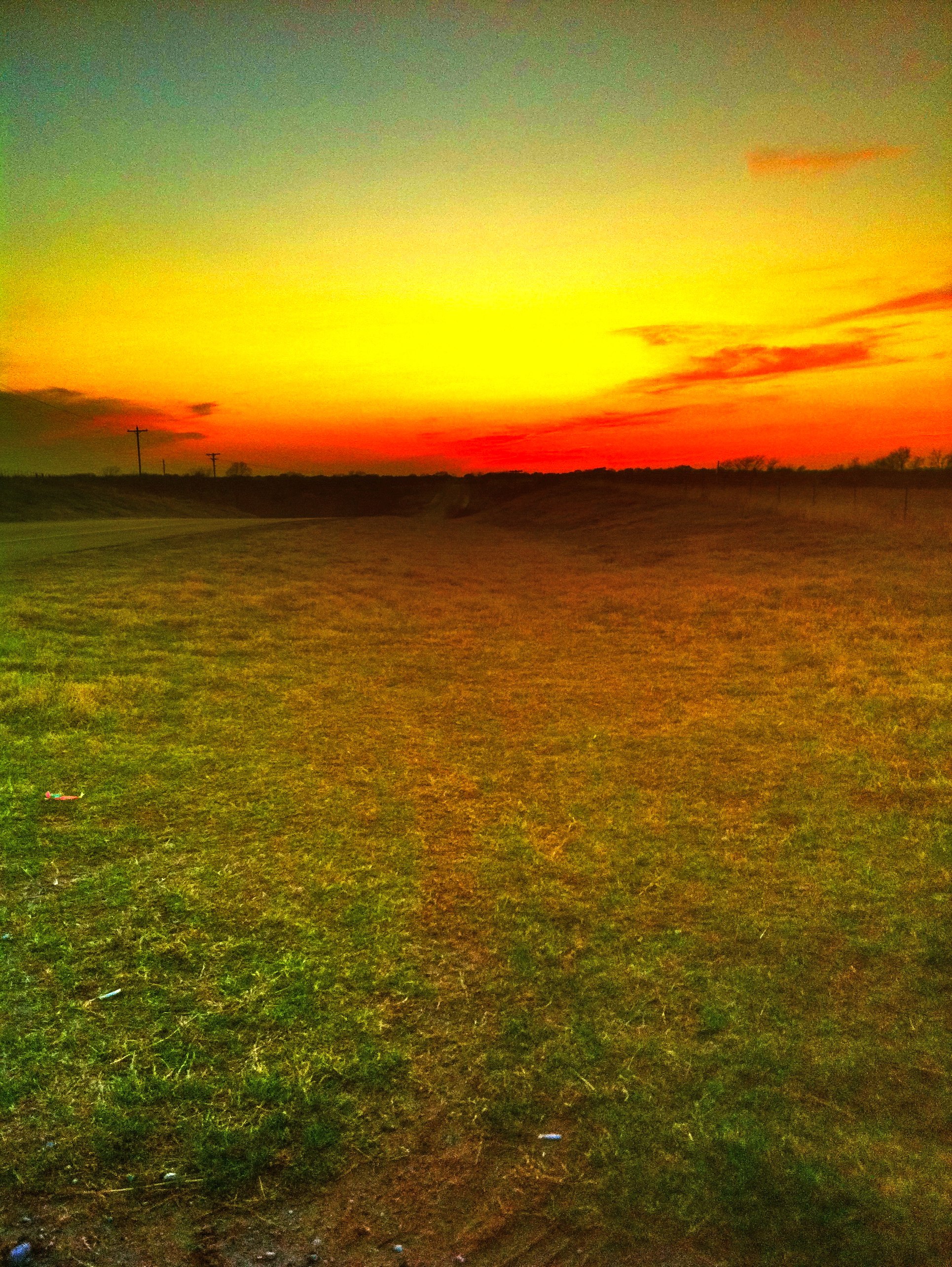
Sunset on I-35 north of the Red River. #escapade #10thanniversary

Autumn Sunset

Extreme Photoshop

Not All that Glitters is Gold - No Todo lo que Brilla es Oro
Topographic Map of Burneyville, OK, USA
Find elevation by address:

Places in Burneyville, OK, USA:
Places near Burneyville, OK, USA:
46 Yukon Dr
Falconhead Airport-37k
340 S Diamondhead Dr
115 Falconhead Dr
55 Falconhead Dr
OK-32, Burneyville, OK, USA
Love County
Main St, Leon, OK, USA
Leon
27452 Cedar Ridge St
11499 Keltner Rd
Keltner Road
10690 Keltner Rd
Marietta
Brock Rd, Ardmore, OK, USA
179 Yorktown Rd
1641 Farm To Market Rd 2953
1250 Newport Rd
Arché Winery & Vineyard
47 County Rd, Whitesboro, TX, USA
Recent Searches:
- Elevation of Corso Fratelli Cairoli, 35, Macerata MC, Italy
- Elevation of Tallevast Rd, Sarasota, FL, USA
- Elevation of 4th St E, Sonoma, CA, USA
- Elevation of Black Hollow Rd, Pennsdale, PA, USA
- Elevation of Oakland Ave, Williamsport, PA, USA
- Elevation of Pedrógão Grande, Portugal
- Elevation of Klee Dr, Martinsburg, WV, USA
- Elevation of Via Roma, Pieranica CR, Italy
- Elevation of Tavkvetili Mountain, Georgia
- Elevation of Hartfords Bluff Cir, Mt Pleasant, SC, USA