Elevation of Main St, Collins, MS, USA
Location: United States > Mississippi >
Longitude: -89.573200
Latitude: 31.6580857
Elevation: 93m / 305feet
Barometric Pressure: 100KPa
Elevation Map:
Satellite Map:
Related Photos:
100_1630
upload
upload

Flare
IMG_9214

...what was catfish, boiled shrimp, slaw, hush puppies, and blueberry icecream! #foodbaby #fishcamp #sogoddamngood

Aunt & Cuz
IMG_2065.JPG
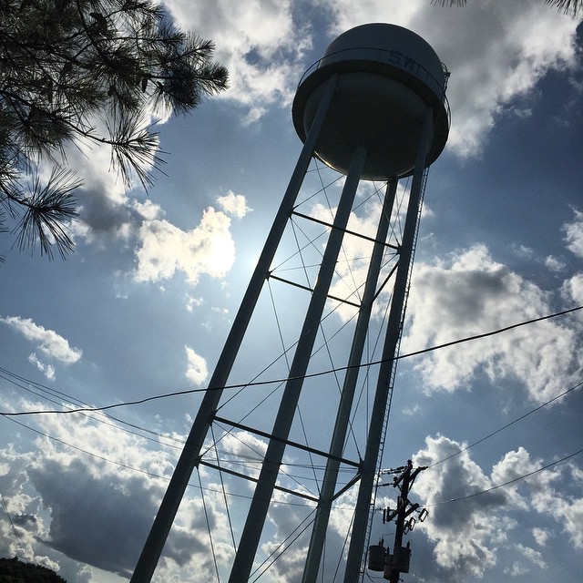
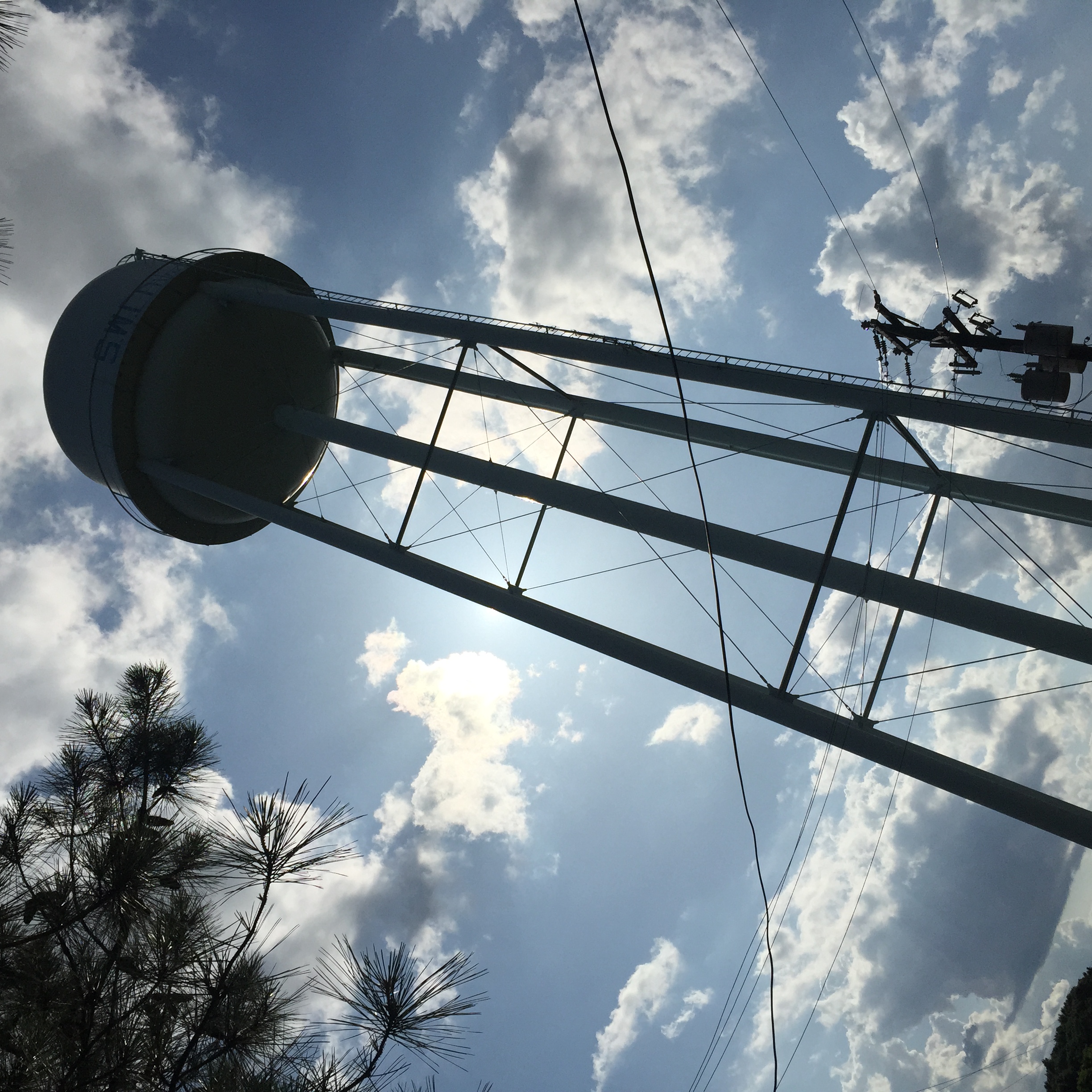
#Covington #wcovington #watertower #watertowers #mississippi

A very scary shelf cloud in Jackson, MS

Boss just sent me the most awesome text.

Looking out of the doors at the Medical Arts East Building. The Medical Arts Plaza included in the Baptist Medical Center complex was started in 1955 with the West Medical Arts Building across the street. The East wing was completed in 1989 on the site of

2013-10-12 at 17.36.33 2

2013-10-12 at 17.36.28 2

2013-10-12 at 17.36.18 2

2013-10-12 at 16.28.15 2

2013-10-12 at 16.28.06 2

2013-10-12 at 16.28.04 2

2013-10-12 at 16.27.58 2

2013-10-12 at 15.51.43 2

2013-10-12 at 15.51.39 2

2013-10-12 at 15.51.36 2

2013-10-12 at 15.51.29 2

2013-10-12 at 15.51.27 2

2013-10-12 at 15.51.22 2

2013-10-12 at 15.42.17 2
Topographic Map of Main St, Collins, MS, USA
Find elevation by address:

Places near Main St, Collins, MS, USA:
Covington County
Collins
Grand Paradise Waterpark
Seminary
Saratoga Sharon Rd, Magee, MS, USA
82 Sim Musgrove Rd, Ellisville, MS, USA
US 49, Seminary, MS, USA
7 Zelton Ingram Rd
239 Mt Mercy Mb Church Rd
Mize
704 Pine St
236 Munn Rd
263 Blackwell Loop
32 Wilson Ave
2741 Ms-588
2741 Ms-588
Sumrall
Snows Creek
Jefferson Davis County
MS-42, Carson, MS, USA
Recent Searches:
- Elevation of Corso Fratelli Cairoli, 35, Macerata MC, Italy
- Elevation of Tallevast Rd, Sarasota, FL, USA
- Elevation of 4th St E, Sonoma, CA, USA
- Elevation of Black Hollow Rd, Pennsdale, PA, USA
- Elevation of Oakland Ave, Williamsport, PA, USA
- Elevation of Pedrógão Grande, Portugal
- Elevation of Klee Dr, Martinsburg, WV, USA
- Elevation of Via Roma, Pieranica CR, Italy
- Elevation of Tavkvetili Mountain, Georgia
- Elevation of Hartfords Bluff Cir, Mt Pleasant, SC, USA