Elevation of Seminary, MS, USA
Location: United States > Mississippi >
Longitude: -89.497566
Latitude: 31.5623892
Elevation: 82m / 269feet
Barometric Pressure: 100KPa
Elevation Map:
Satellite Map:
Related Photos:
Office with a view
upload

upload

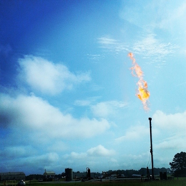
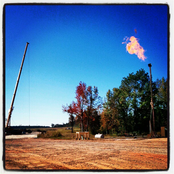
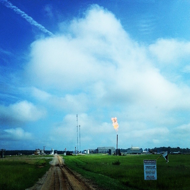
Flare

IMG_9214
upload


100_1701

100_1630

100_1668
Topographic Map of Seminary, MS, USA
Find elevation by address:

Places near Seminary, MS, USA:
US 49, Seminary, MS, USA
7 Zelton Ingram Rd
Grand Paradise Waterpark
Collins
Main St, Collins, MS, USA
82 Sim Musgrove Rd, Ellisville, MS, USA
Covington County
Sumrall
Snows Creek
236 Munn Rd
2741 Ms-588
2741 Ms-588
263 Blackwell Loop
Hattiesburg Home Center 7756 Us Hwy 49 N Hattiesburg, Ms 39402
327 Moselle-seminary Rd
327 Moselle-seminary Rd
327 Moselle-seminary Rd
Saint Francis Road
1090 Oloh Rd
4 Pine St
Recent Searches:
- Elevation of Corso Fratelli Cairoli, 35, Macerata MC, Italy
- Elevation of Tallevast Rd, Sarasota, FL, USA
- Elevation of 4th St E, Sonoma, CA, USA
- Elevation of Black Hollow Rd, Pennsdale, PA, USA
- Elevation of Oakland Ave, Williamsport, PA, USA
- Elevation of Pedrógão Grande, Portugal
- Elevation of Klee Dr, Martinsburg, WV, USA
- Elevation of Via Roma, Pieranica CR, Italy
- Elevation of Tavkvetili Mountain, Georgia
- Elevation of Hartfords Bluff Cir, Mt Pleasant, SC, USA