Elevation of Jefferson Davis County, MS, USA
Location: United States > Mississippi >
Longitude: -89.813035
Latitude: 31.5825281
Elevation: 114m / 374feet
Barometric Pressure: 100KPa
Elevation Map:
Satellite Map:
Related Photos:
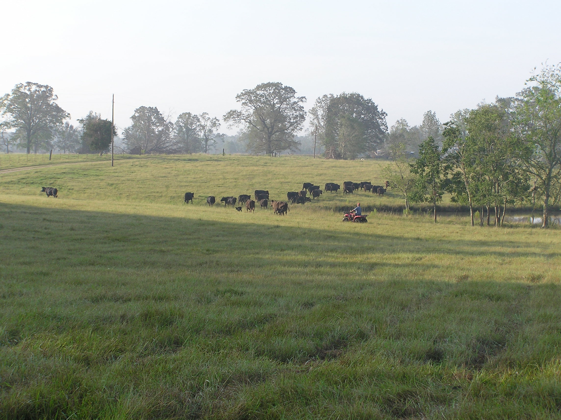
Picture 012
Picture 013

Picture 313
Picture 002

Picture 003
Sunrise-032106-Front0013
Picture 323
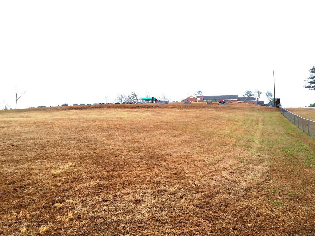
Cemetery from road near bottom of hill - unmarked new section at left
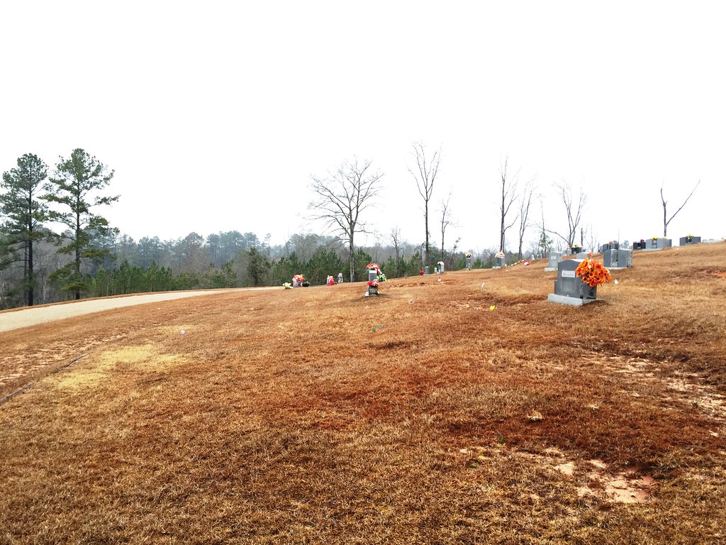
Looking north from middle entry - Row 36 mostly available
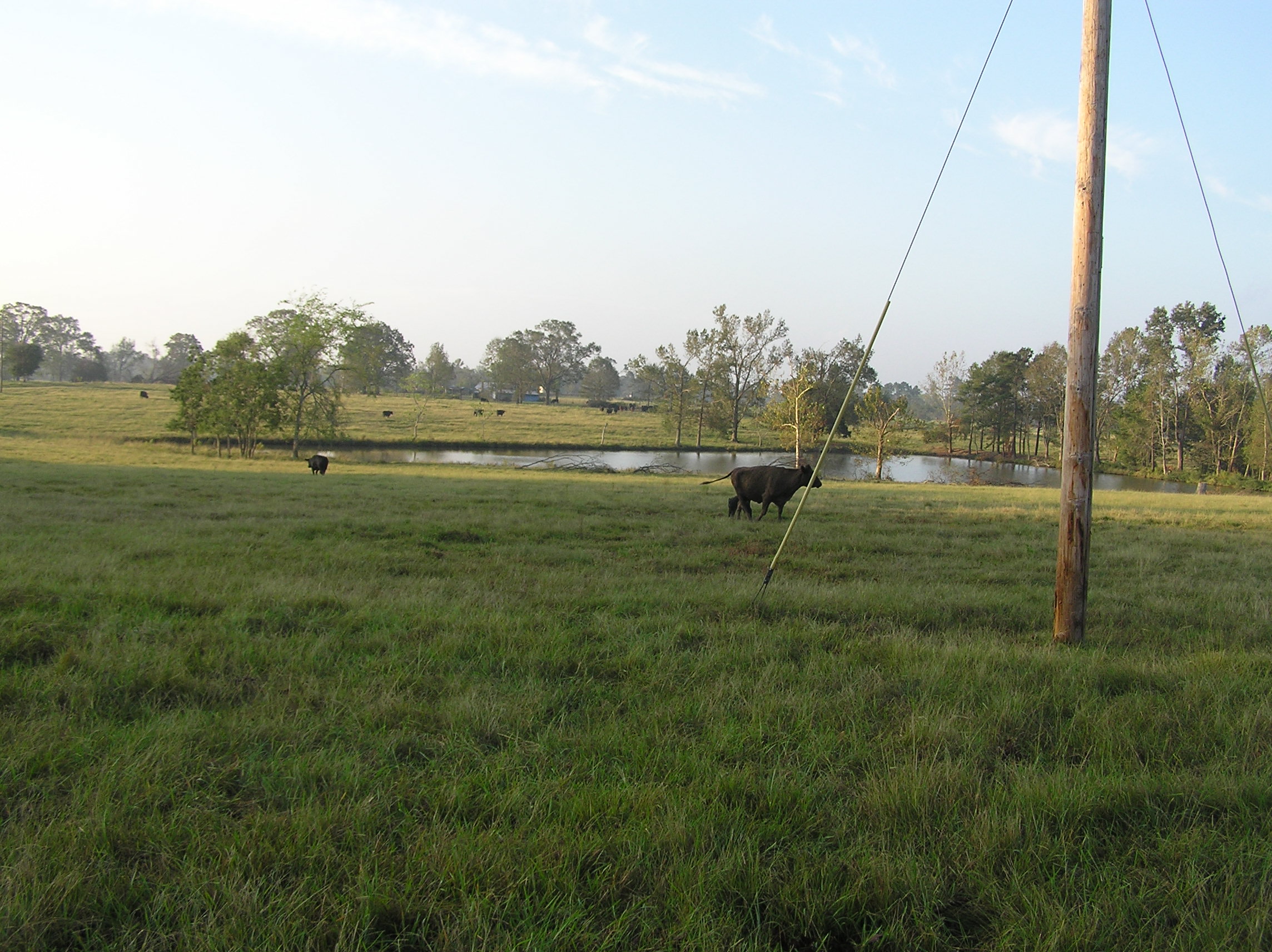
Picture 011
Topographic Map of Jefferson Davis County, MS, USA
Find elevation by address:

Places in Jefferson Davis County, MS, USA:
Places near Jefferson Davis County, MS, USA:
MS-42, Carson, MS, USA
Columbia Ave, Prentiss, MS, USA
Prentiss
1216 Scott Ave
91 Hartzog Magee Rd
32 Wilson Ave
73 Buddy Price Rd
270 Grice Rd
631 W Reservoir Rd
19 C Williamson Rd
405 H B Smith Rd
New Hebron
Covington County
Main St, Collins, MS, USA
Grand Paradise Waterpark
239 Mt Mercy Mb Church Rd
Collins
Saratoga Sharon Rd, Magee, MS, USA
118 Grace Lewis Dr
134 Grace Lewis Dr
Recent Searches:
- Elevation of Corso Fratelli Cairoli, 35, Macerata MC, Italy
- Elevation of Tallevast Rd, Sarasota, FL, USA
- Elevation of 4th St E, Sonoma, CA, USA
- Elevation of Black Hollow Rd, Pennsdale, PA, USA
- Elevation of Oakland Ave, Williamsport, PA, USA
- Elevation of Pedrógão Grande, Portugal
- Elevation of Klee Dr, Martinsburg, WV, USA
- Elevation of Via Roma, Pieranica CR, Italy
- Elevation of Tavkvetili Mountain, Georgia
- Elevation of Hartfords Bluff Cir, Mt Pleasant, SC, USA