Elevation of Mize, MS, USA
Location: United States > Mississippi > Smith County >
Longitude: -89.555902
Latitude: 31.8684927
Elevation: 92m / 302feet
Barometric Pressure: 100KPa
Elevation Map:
Satellite Map:
Related Photos:
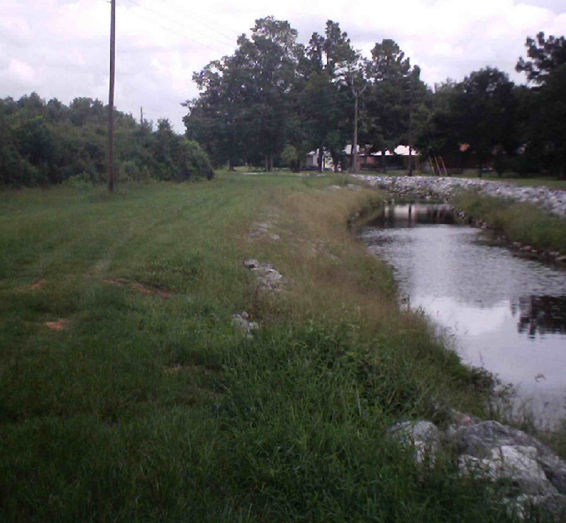
Creek

large calves run in the family #brothers

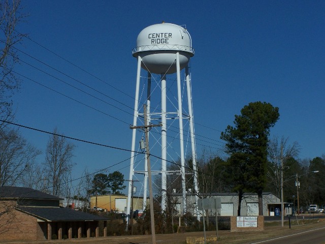
????

Pillar of Salt
Mississippi 132
Mt. Olive, MS
Mt. Olive, MS

Mt. Olive, MS
Mt. Olive, MS
Mt. Olive, MS

Mt Olive, Miss.
Mt Olive, Miss.

Mt Olive, Miss.

Mt Olive, Miss.
Mt Olive, Miss.

Piggly Wiggly. Taylorsville Miss.
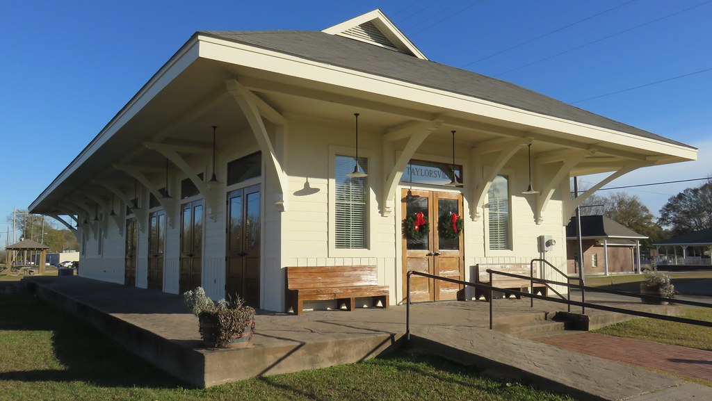
Old Railroad Depot (Taylorsville, Mississippi)
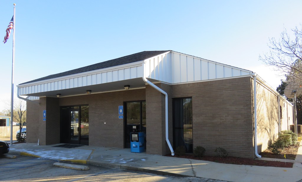
Post Office 39168 (Taylorsville, Mississippi)
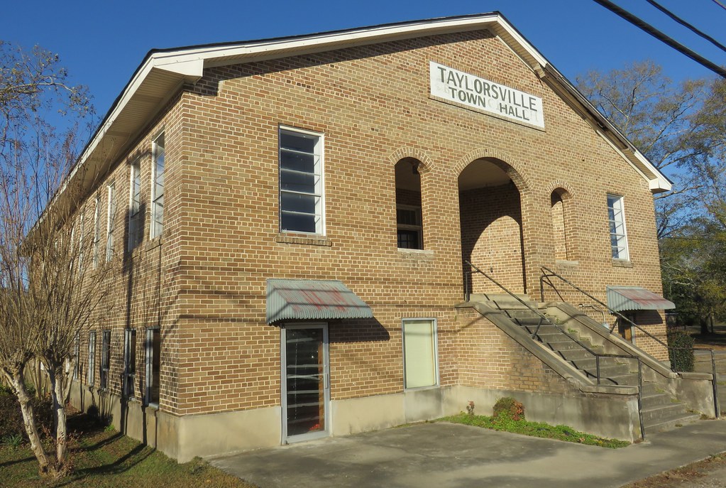
Old Taylorsville, Mississippi Town Hall

#watermelon????

#cousins

the local #pigglywiggly ????❤️
Topographic Map of Mize, MS, USA
Find elevation by address:

Places near Mize, MS, USA:
Saratoga Sharon Rd, Magee, MS, USA
704 Pine St
239 Mt Mercy Mb Church Rd
Raleigh
MS-, Raleigh, MS, USA
Magee
Warren Cook Rd, Mendenhall, MS, USA
Covington County
134 Grace Lewis Dr
118 Grace Lewis Dr
Main St, Collins, MS, USA
Collins
MS-, Mendenhall, MS, USA
Smith County
Grand Paradise Waterpark
82 Sim Musgrove Rd, Ellisville, MS, USA
Bay Springs
Stringer
52 Co Rd 17, Stringer, MS, USA
Dupre Farms
Recent Searches:
- Elevation of Corso Fratelli Cairoli, 35, Macerata MC, Italy
- Elevation of Tallevast Rd, Sarasota, FL, USA
- Elevation of 4th St E, Sonoma, CA, USA
- Elevation of Black Hollow Rd, Pennsdale, PA, USA
- Elevation of Oakland Ave, Williamsport, PA, USA
- Elevation of Pedrógão Grande, Portugal
- Elevation of Klee Dr, Martinsburg, WV, USA
- Elevation of Via Roma, Pieranica CR, Italy
- Elevation of Tavkvetili Mountain, Georgia
- Elevation of Hartfords Bluff Cir, Mt Pleasant, SC, USA