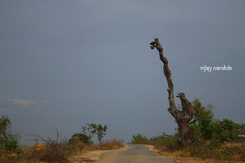
Elevation map of Mahabubnagar, Telangana, India
Location: India > Telangana >
Longitude: 78.1108279
Latitude: 16.3841436
Elevation: 411m / 1348feet
Barometric Pressure: 96KPa
Related Photos:
Topographic Map of Mahabubnagar, Telangana, India
Find elevation by address:

Places in Mahabubnagar, Telangana, India:
Bijnapalli
Gurujala
Polepally
Waddepally
Alampur
Mahbubnagar
Kondurg
Nagarkurnool
Kurnool Road
Talakondapally
Kalwakurthy
Keshampet
Achampet
Raipalle
Unnamed Road
Shadnagar
Koduparthy
Maddur
Kothakota
Erladinne
Yapadinne
Bingidoddi
Gokulapadu
Karukonda
Sarvareddipalle
Places near Mahabubnagar, Telangana, India:
Kothakota
Kurnool Road
Bijinapally Bus Station
Bijnapalli
Nagarkurnool
Karukonda
Mahbubnagar
Badepally
Jadcherla
Koduparthy
Telangana, India
Veerapuram
Erladinne
Polepally
Unnamed Road
Unnamed Road
Raipalle
Gokulapadu
Kalwakurthy
Alampur
Recent Searches:
- Elevation of Corso Fratelli Cairoli, 35, Macerata MC, Italy
- Elevation of Tallevast Rd, Sarasota, FL, USA
- Elevation of 4th St E, Sonoma, CA, USA
- Elevation of Black Hollow Rd, Pennsdale, PA, USA
- Elevation of Oakland Ave, Williamsport, PA, USA
- Elevation of Pedrógão Grande, Portugal
- Elevation of Klee Dr, Martinsburg, WV, USA
- Elevation of Via Roma, Pieranica CR, Italy
- Elevation of Tavkvetili Mountain, Georgia
- Elevation of Hartfords Bluff Cir, Mt Pleasant, SC, USA
