Elevation of Gurujala, India
Location: India > Telangana > Mahabubnagar >
Longitude: 77.3152116
Latitude: 16.4124138
Elevation: 352m / 1155feet
Barometric Pressure: 97KPa
Elevation Map:
Satellite Map:
Related Photos:

Mahesh prameela
The other side.

Stuck here because of a accident at Martur. Don't know how long we will be here.

My little corner in the train.

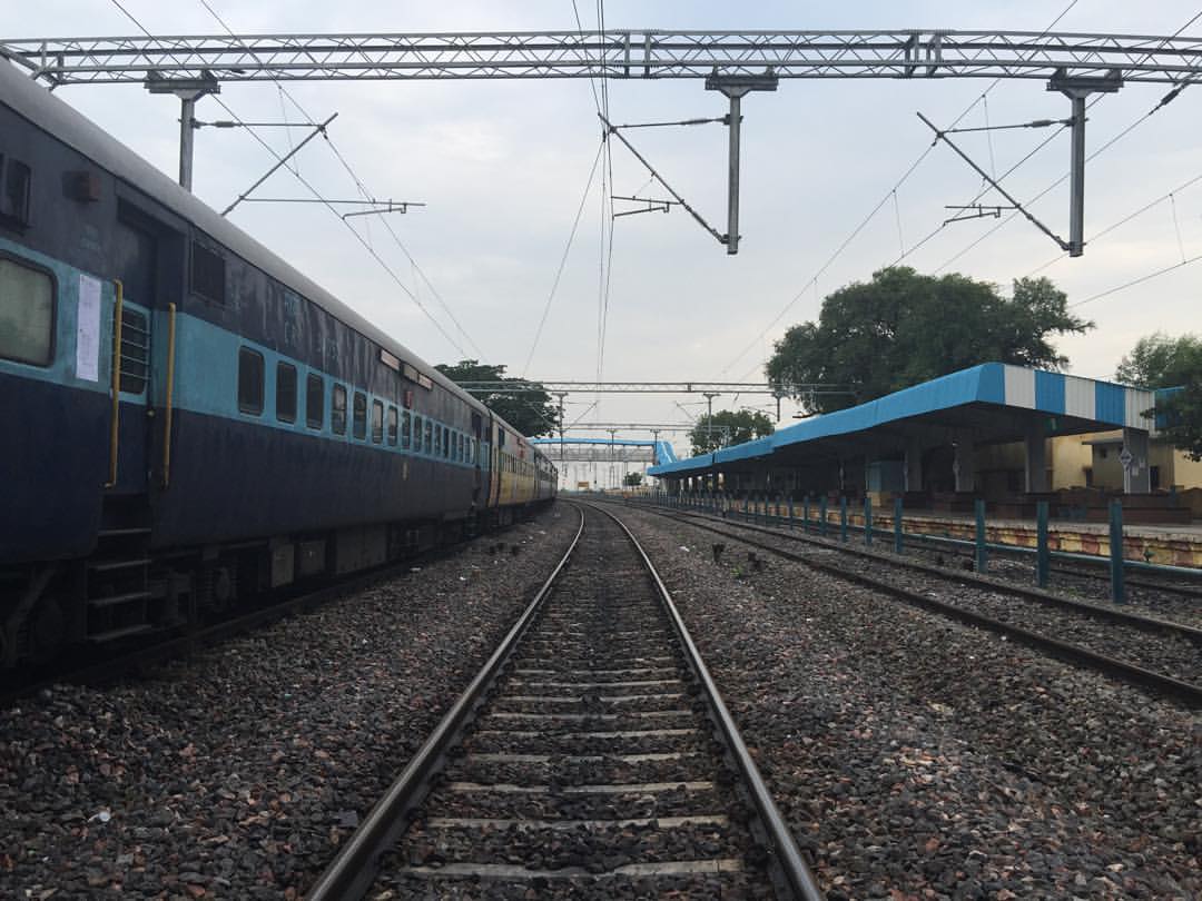
The POWER TOWERS
Topographic Map of Gurujala, India
Find elevation by address:

Places near Gurujala, India:
Krishna Station
Saidapur
Thirrumala Bricks Compay
Gorkal
Kandukur
Sathanur
Moogaladoddi
Agasanur
Irangal
Jampapuram
Kadidoddi
Kamandoddi
Chirthanakal
Belagallu
Arlabanda
Duddi
Sajjalaguddam
D Belagal Substation
Thippaladoddi
Substation Kolmanpet
Recent Searches:
- Elevation of Corso Fratelli Cairoli, 35, Macerata MC, Italy
- Elevation of Tallevast Rd, Sarasota, FL, USA
- Elevation of 4th St E, Sonoma, CA, USA
- Elevation of Black Hollow Rd, Pennsdale, PA, USA
- Elevation of Oakland Ave, Williamsport, PA, USA
- Elevation of Pedrógão Grande, Portugal
- Elevation of Klee Dr, Martinsburg, WV, USA
- Elevation of Via Roma, Pieranica CR, Italy
- Elevation of Tavkvetili Mountain, Georgia
- Elevation of Hartfords Bluff Cir, Mt Pleasant, SC, USA