Elevation of Krishna Station Rd, Gurujala, Telangana, India
Location: India > Telangana > Mahabubnagar > Gurujala >
Longitude: 77.3286734
Latitude: 16.4101647
Elevation: 351m / 1152feet
Barometric Pressure: 97KPa
Elevation Map:
Satellite Map:
Related Photos:

Mahesh prameela
The other side.

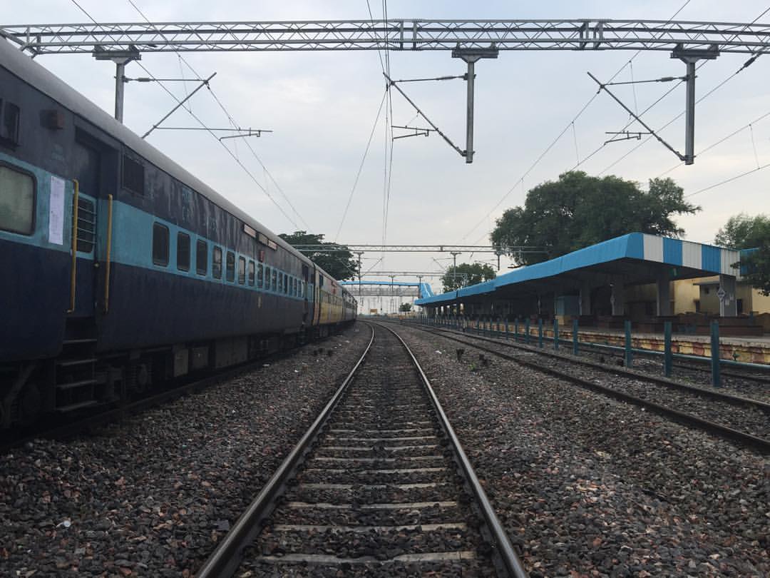
Stuck here because of a accident at Martur. Don't know how long we will be here.

My little corner in the train.

The POWER TOWERS
Topographic Map of Krishna Station Rd, Gurujala, Telangana, India
Find elevation by address:

Places near Krishna Station Rd, Gurujala, Telangana, India:
Gurujala
Saidapur
Thirrumala Bricks Compay
Gorkal
Kandukur
Sathanur
Moogaladoddi
Agasanur
Irangal
Jampapuram
Kadidoddi
Kamandoddi
Chirthanakal
Belagallu
Duddi
Arlabanda
Sajjalaguddam
D Belagal Substation
Thippaladoddi
Substation Kolmanpet
Recent Searches:
- Elevation of Corso Fratelli Cairoli, 35, Macerata MC, Italy
- Elevation of Tallevast Rd, Sarasota, FL, USA
- Elevation of 4th St E, Sonoma, CA, USA
- Elevation of Black Hollow Rd, Pennsdale, PA, USA
- Elevation of Oakland Ave, Williamsport, PA, USA
- Elevation of Pedrógão Grande, Portugal
- Elevation of Klee Dr, Martinsburg, WV, USA
- Elevation of Via Roma, Pieranica CR, Italy
- Elevation of Tavkvetili Mountain, Georgia
- Elevation of Hartfords Bluff Cir, Mt Pleasant, SC, USA