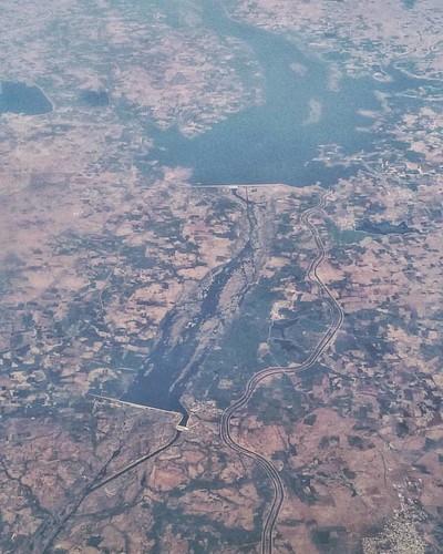
Elevation of Erladinne, Telangana, India
Location: India > Telangana > Mahabubnagar >
Longitude: 77.6736554
Latitude: 16.3732391
Elevation: 323m / 1060feet
Barometric Pressure: 98KPa
Related Photos:
Topographic Map of Erladinne, Telangana, India
Find elevation by address:

Places near Erladinne, Telangana, India:
Kothakota
Kurnool Road
Bingidoddi
Raichur
Yapadinne
Mahabubnagar
Waddepally
Maddur
Mahbubnagar
Sangala
Gokulapadu
Palukudoddi
Gundrevula
K.singavaram Maddilety
K.singavaram
Enagandla
Kothakota
Polakal
Kambadahal
Mallapuram
Recent Searches:
- Elevation of Corso Fratelli Cairoli, 35, Macerata MC, Italy
- Elevation of Tallevast Rd, Sarasota, FL, USA
- Elevation of 4th St E, Sonoma, CA, USA
- Elevation of Black Hollow Rd, Pennsdale, PA, USA
- Elevation of Oakland Ave, Williamsport, PA, USA
- Elevation of Pedrógão Grande, Portugal
- Elevation of Klee Dr, Martinsburg, WV, USA
- Elevation of Via Roma, Pieranica CR, Italy
- Elevation of Tavkvetili Mountain, Georgia
- Elevation of Hartfords Bluff Cir, Mt Pleasant, SC, USA
