Elevation of Mahbubnagar, Telangana, India
Location: India > Telangana > Mahabubnagar >
Longitude: 78.0081221
Latitude: 16.7375089
Elevation: 490m / 1608feet
Barometric Pressure: 96KPa
Elevation Map:
Satellite Map:
Related Photos:
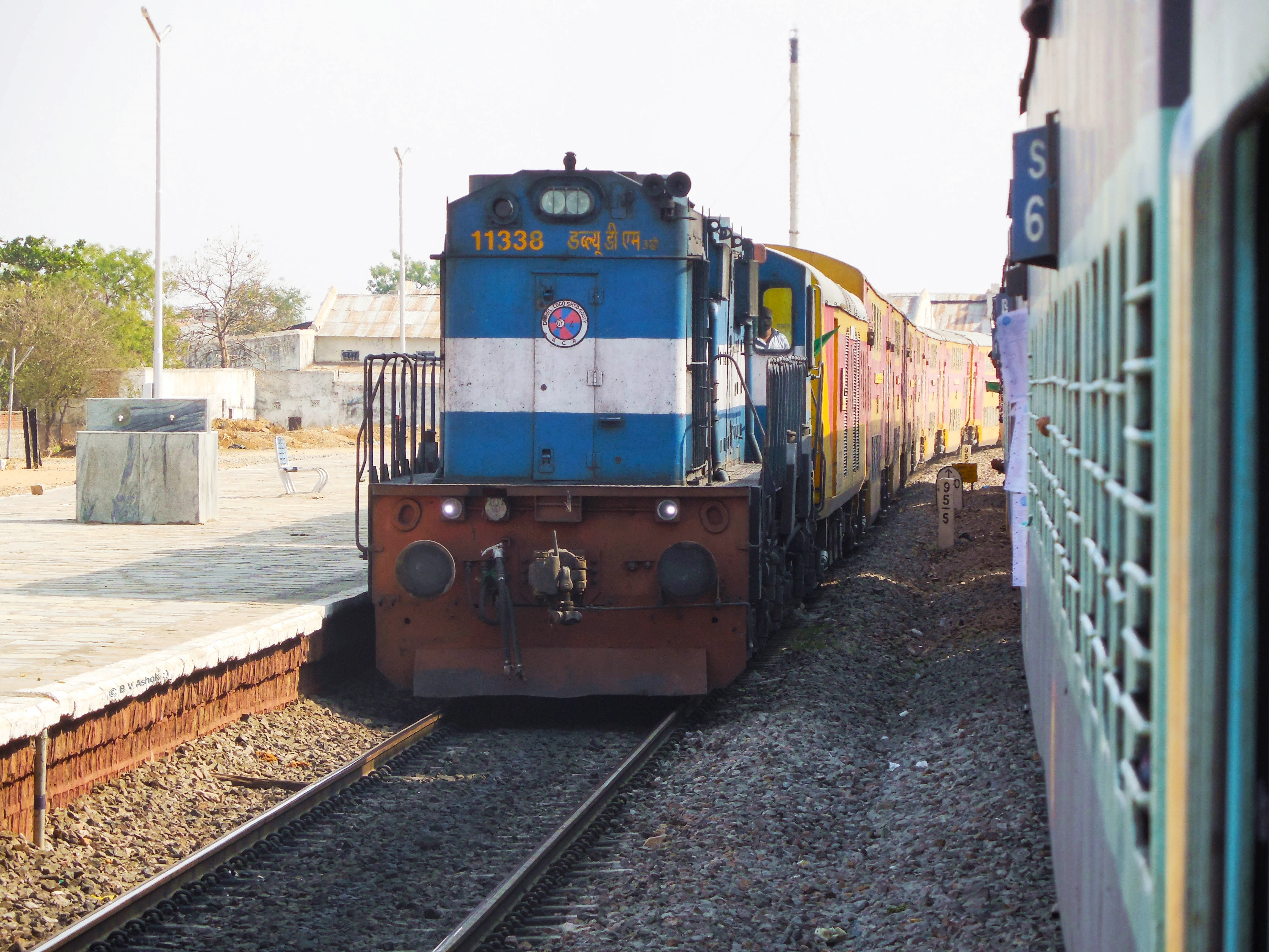
TPTY - KCG Double Decker
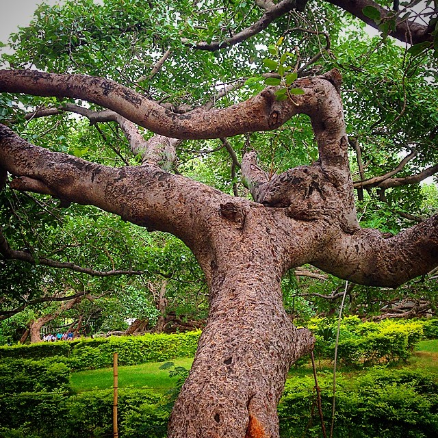
This tree is 300yrs old #old #banyan #tree #green #rains #branch

Subba rao Gutti

.
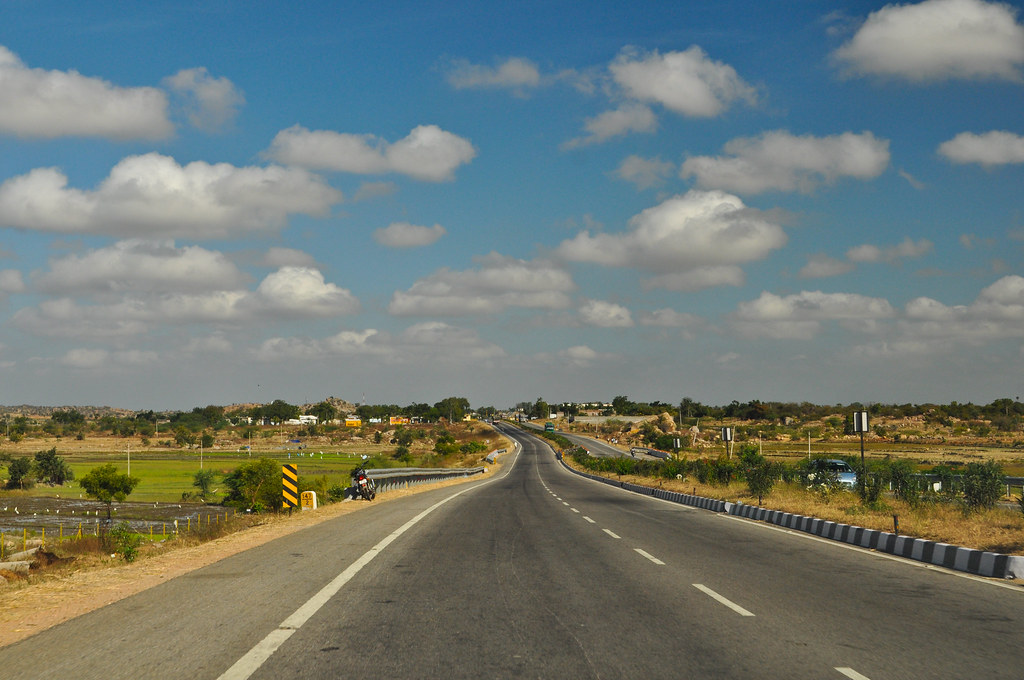
highway in south india
P1010342 (Small)

Lizard Fight

Red Sun
Topographic Map of Mahbubnagar, Telangana, India
Find elevation by address:

Places near Mahbubnagar, Telangana, India:
Badepally
Jadcherla
Polepally
Unnamed Road
Unnamed Road
Raipalle
Telangana, India
Koduparthy
Bijinapally Bus Station
Bijnapalli
Karukonda
Kothakota
Mahabubnagar
Nagarkurnool
Kurnool Road
Kalwakurthy
Erladinne
Vangoor 33/11kv Sub Station
Sarvareddipalle
Achampet
Recent Searches:
- Elevation of Corso Fratelli Cairoli, 35, Macerata MC, Italy
- Elevation of Tallevast Rd, Sarasota, FL, USA
- Elevation of 4th St E, Sonoma, CA, USA
- Elevation of Black Hollow Rd, Pennsdale, PA, USA
- Elevation of Oakland Ave, Williamsport, PA, USA
- Elevation of Pedrógão Grande, Portugal
- Elevation of Klee Dr, Martinsburg, WV, USA
- Elevation of Via Roma, Pieranica CR, Italy
- Elevation of Tavkvetili Mountain, Georgia
- Elevation of Hartfords Bluff Cir, Mt Pleasant, SC, USA