Elevation of Lynn Street, Lynn St, Tracy, CA, USA
Location: United States > California > San Joaquin County > Mountain House > Wicklund Village >

Longitude: -121.54304

Latitude: 37.7718851

Elevation: 23m / 75feet

Barometric Pressure: 101KPa

Elevation Map:

elevation map of Lynn Street, Lynn St, Tracy, CA, USA
Satellite Map:

Satellite map of Lynn Street, Lynn St, Tracy, CA, USA
Related Photos:

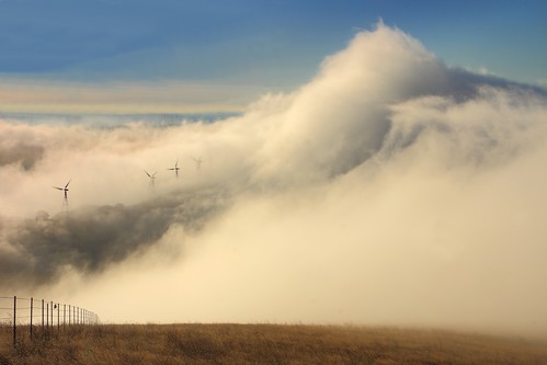
california morning usa fog clouds canon landscape hiking trails windmills hills bayarea eastbay livermore alamedacounty windturbines ebrpd eastbayregionalparkdistrict brushypeak tamron1750 40d ebparks canon40d ilikethenight marccrumpler ebparksok
big cloud-brushy peak
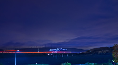
california christmas november sky motion color northerncalifornia night nikon holidays view cross traffic farm over overpass overcast bayarea eastbay jesussaves livermore alamedacounty d800 2014 580 altamontpass lightstream
giant jesus saves
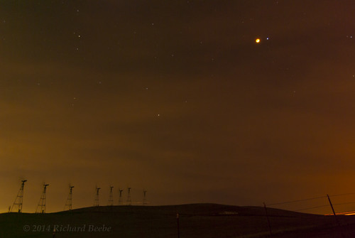
tamronaf1750mmf28xrdiiild ©richarddbeebe2014 ©richardbeebe2014 copyrightrichardbeebe2014
RB_LunarEclipse-AltamontPass K10
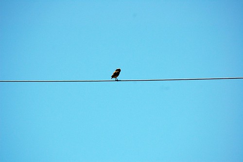
california green ecology birds geotagged tv energy power alternativeenergy environment kqed pbs raptors turbines altamont sanjoaquinvalley birdstrike sanjoaquincounty kqedquest geo:lat=377388413088189 geo:lon=121616501143426 enxco
Burrowing Owl
california green ecology birds geotagged tv energy power alternativeenergy environment kqed pbs raptors turbines altamont sanjoaquinvalley birdstrike sanjoaquincounty kqedquest geo:lat=377388413088189 geo:lon=121616501143426 enxco
Bundle of Energy
camp blackandwhite abandoned architecture hotel wwii urbanexploration historical byron hotsprings interrogation sfchronicle96hrs
Nice View
california green ecology birds geotagged tv energy power alternativeenergy environment kqed pbs raptors turbines altamont sanjoaquinvalley birdstrike sanjoaquincounty kqedquest geo:lat=377274471901688 geo:lon=121649590134985 enxco
Old School
chicken nikon joe chico livermore greenville iphone d90
Joe Van Fo
california usa lightpainting green abandoned night america graffiti hotel unitedstates fav50 10 unitedstatesofamerica save3 save7 save8 save save2 fav20 save9 save4 eastbay save5 save10 save6 byron fav30 savedbythedeletemeuncensoredgroup fav10 contracostacounty byronhotsprings fav25 fav100 fav40 fav60 fav90 fav80 fav70 superfave dmumeetup dmumeetup092609 dmumeetup09262009 gettyartistpicksoct09
Saturday Night Live
star all swing couch converse flare dip
ALL STAAAARS. (explored #9)
california road longexposure autumn fall windmill night landscape nikon gate hill seasonal dirtroad livermore ida rollinghills shum gravelroad d300 northflynnroad idashum idacshum
Legend of Fall Hollow
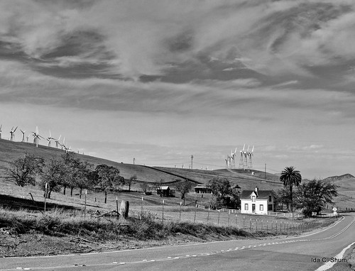
california house nature windmill rural landscape drive nikon windmills hills layer pastoral livermore idyllic shum d300 northflynnroad idacshum
Pastoral California II
california door wood flowers roof red sky orange storm david green wet glass stain rain clouds bench tile catholic cross planters terracotta christian sidewalk byron churh kandid wooten stanne photomatix explored fotocompetitionbronze
EXPLORED: 1/365 - St. Anne Church a Single Raw HDR
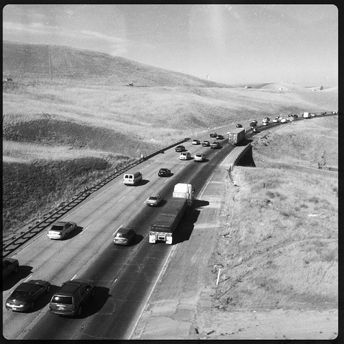
california road ca usa june train tracy noflash freeway commute interstate livermore trucking 2012 iphone eastbound 580 daveparker iphone365 hipstamatic jamesmlens rockbw11film
Interstate 580, eastbound down
love rose paper petals purple you note letter dried
whats wrong with my heart?
Tub View
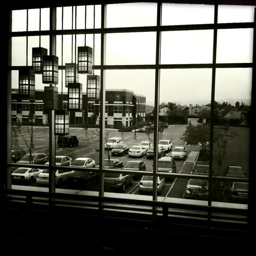
california bw usa march tracy noflash 2012 iphone daveparker johnslens hipstamatic claunch72monochromefilm little365club
Window view
california summer panorama northerncalifornia rural nikon view country large july panoramic bayarea eastbay hillside 700 stitched alamedacounty 2013 teslaroad
after eagle's run
california ca usa june train ace pass tracy 2012 altamont daveparker
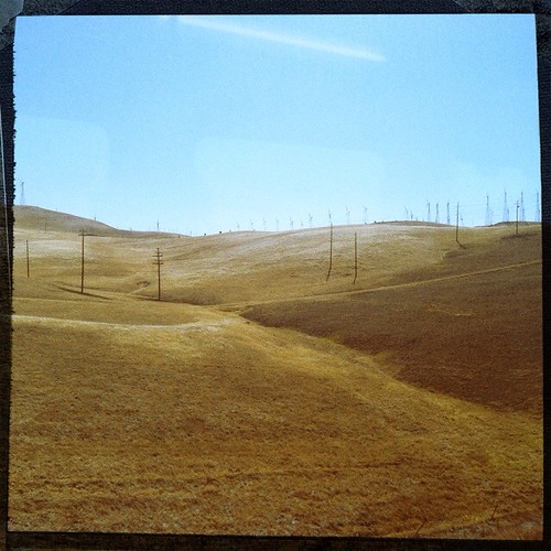
View from the train
hdr
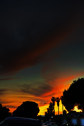
Sunset in Tracy
peak livermore brushy
20121209-DSC04377.jpg
california winter sky storm color tree rain weather clouds rural landscape vineyard scenery unitedstates farm powerlines crop vegetation northamerica thunderstorm agriculture stockton grape centralvalley sanjoaquinvalley hydrotower sanjoaquincounty transmissiontower 4cornersphoto
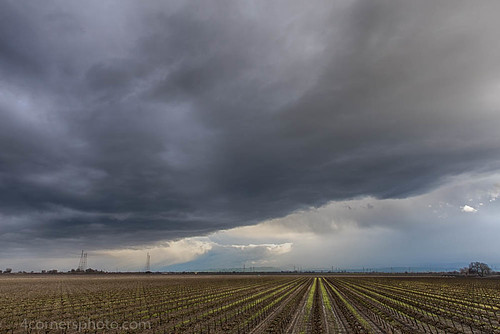
Thunderstorm and Vineyard, San Joaquin County, CA
california light sky usa windmill composition contrast landscape geotagged golden landscapes mood hill layer livermore turbine flynn
I've been to
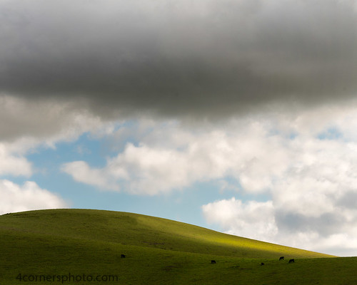
4cornersphoto alamedacounty altamontpass animal california cattle clouds color cow diablorange grass hill landscape livermore northamerica outdoor rain rural scenery shadow sky unitedstates weather us
Grazing Cattle, Alameda County, CA
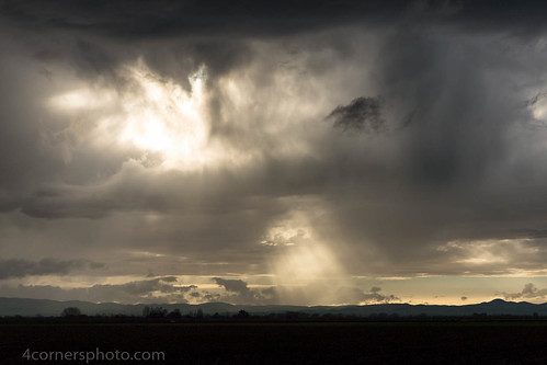
california winter sky storm color tree rain weather clouds rural landscape scenery unitedstates farm hills crop vegetation northamerica thunderstorm agriculture stockton crepuscularrays centralvalley sanjoaquinvalley sanjoaquincounty diablorange 4cornersphoto
Crepuscular Rays, San Joaquin County, CA
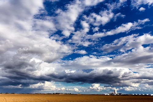
california autumn shadow sky fall field weather clouds rural landscape scenery unitedstates farm tracy silo crop northamerica thunderstorm plow agriculture centralvalley sanjoaquinvalley sanjoaquincounty holysugar 4cornersphoto
Autumn Thunderstorm, San Joaquin County, CA
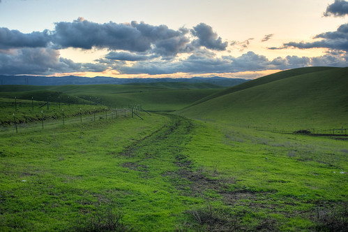
california sunset landscape nikon day cloudy dusk meadow valley livermore hdr greengrass d300
All roads lead to spring
california winter shadow green grass spring sony hills livermore a7 hollingsworth a7ii stephenhollingsworth sonya7ii
Valley - Brushy Peak Park
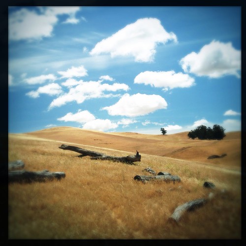
california sky tree clouds square landscape hill logs livermore hollingsworth iphone5 brushypeakregionalpreserve iphoneography hipstamatic oggl uploaded:by=flickrmobile flickriosapp:filter=nofilter
Brushy Peak
blackandwhite abstract windmill canon landscape windmills livermore windfarm landscapephotography rollinggreen canoneos5dmark3 canon5dmark3
Leaning Away (Explore #498, May 19th, 2013)
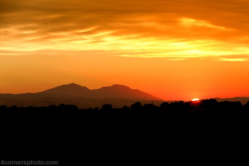
california sunset summer sky color tree silhouette horizontal clouds landscape scenery unitedstates farm northamerica agriculture centralvalley sanjoaquinvalley mountdiablo sanjoaquincounty diablorange 4cornersphoto
Sunset, Mount Diablo, CA
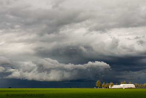
california sky color tree rain weather clouds barn rural landscape us spring scenery unitedstates farm crop vegetation northamerica agriculture stockton centralvalley alfalfa sanjoaquinvalley sanjoaquincounty unionisland 4cornersphoto
Spring Storm and Barn, San Joaquin County, CA
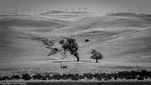
california blackandwhite bw dark square landscape pretty moody scenic windmills hills valley windfarm hollingsworth iphone5 iphoneography hipstamatic uploaded:by=flickrmobile flickriosapp:filter=nofilter
Windmills in the Distance
windmills altamont
hungry clouds
light hawk windmills altamont
fading light
light cows windmills altamont
altamont light
texture windmill silhouette landscape feb 2015
Windmills at Altamont
fog night moonlight windfarm windpower geminids nightlandscape windturbines robertmilton 5dmk3
charles brush's turbines
street beauty yard landscape oakland bush afro style neighborhood attitude americana shrub trim hairstyle fro stubble goodhairday bushy 5oclockshadow closecut uploaded:by=flickrmobile flickriosapp:filter=nofilter
The Buzz Cut
thechallengefactory
DSC08388-001