Elevation of Bridle Creek Cir, Tracy, CA, USA
Location: United States > California > San Joaquin County > Tracy >

Longitude: -121.46379

Latitude: 37.748077

Elevation: 10m / 33feet

Barometric Pressure: 101KPa

Elevation Map:

elevation map of Bridle Creek Cir, Tracy, CA, USA
Satellite Map:

Satellite map of Bridle Creek Cir, Tracy, CA, USA
Related Photos:

star all swing couch converse flare dip
ALL STAAAARS. (explored #9)
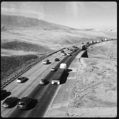
california road ca usa june train tracy noflash freeway commute interstate livermore trucking 2012 iphone eastbound 580 daveparker iphone365 hipstamatic jamesmlens rockbw11film
Interstate 580, eastbound down
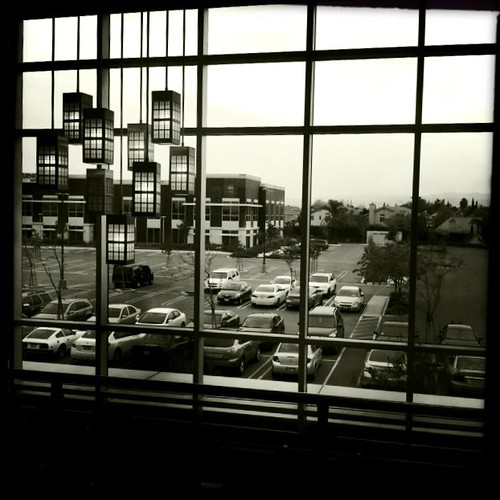
california bw usa march tracy noflash 2012 iphone daveparker johnslens hipstamatic claunch72monochromefilm little365club
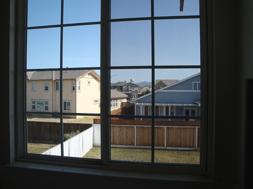
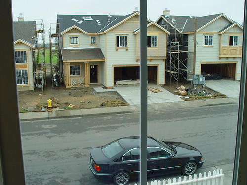
Window view
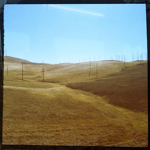
california ca usa june train ace pass tracy 2012 altamont daveparker
View from the train
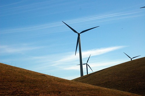
california green ecology birds geotagged tv energy power alternativeenergy environment kqed pbs raptors turbines altamont sanjoaquinvalley birdstrike sanjoaquincounty kqedquest geo:lat=377270427618921 geo:lon=121644161132011 enxco kqedsmc
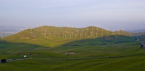
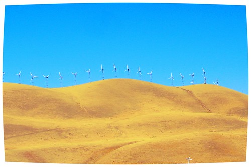
California's largest wind farm, Altamont pass
california road xpro view hills motorcycle vista ducati backroads
the windy valley
california green ecology birds geotagged tv energy power alternativeenergy environment kqed pbs raptors turbines altamont sanjoaquinvalley birdstrike sanjoaquincounty kqedquest geo:lat=377388413088189 geo:lon=121616501143426 enxco
Bundle of Energy
color art photoshop colourartaward tauras101
round view
love rose paper petals purple you note letter dried
whats wrong with my heart?
Tub View
hdr
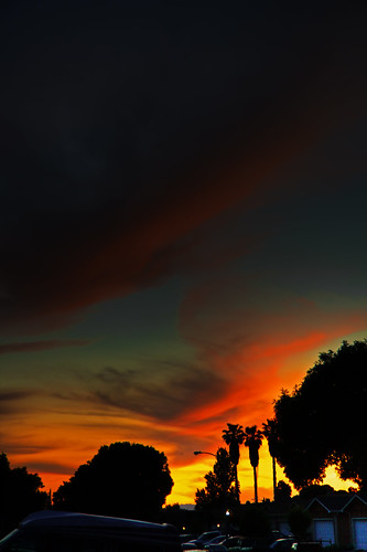
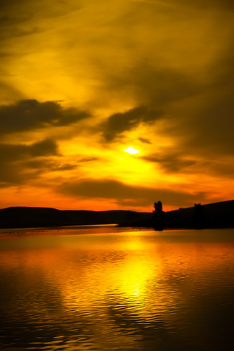
Sunset in Tracy
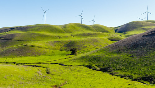
california usa tree mill animals landscape cow view cows path windmills hills northamerica geotag 2012 bo47 bonielsen nikond3s
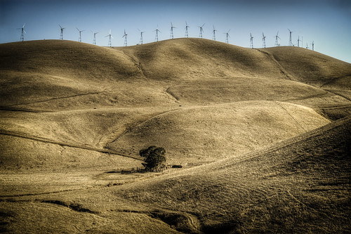
In the Valley of the Wind
shadow macro bug insect horsefly tokina100mmf28atxprod tokina100mmf28 nikond5100
Horse Fly
california ca nikon wind livermore windturbine windfarm 35mmf18 d40 nikond40 vftw
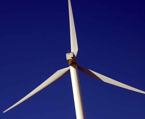
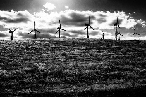
WInd Turbines
joanneanddennis
Memoir Avenue
tamronaf1750mmf28xrdiiild ©richarddbeebe2014 ©richardbeebe2014 copyrightrichardbeebe2014
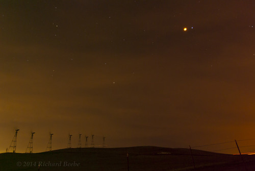
RB_LunarEclipse-AltamontPass K10
california green ecology birds geotagged tv energy power alternativeenergy environment kqed pbs raptors turbines altamont sanjoaquinvalley birdstrike sanjoaquincounty kqedquest geo:lat=377388413088189 geo:lon=121616501143426 enxco
Burrowing Owl
sojurntomotown pattersonpassroad m43 cmount cinelens microfourthirds taylorhobson 25mm olympusepl1 supercomat1inchf19madebytaylortaylorhobsonltdengland olympusvf2electronicviewfinder
a rare view for these parts - no wind turbines
california panorama livermore stitched windfarm johnk altamontpass pattersonpassroad d7000 johnkrzesinski randomok
Altamont Pass Wind Farm panorama
Enjoying A Sunset In Tracy, CA (3-28-12) Photo #3
Hailing/Snowing on Altamont Pass (April 7, 2011)
california bw landscape tomb tracy hasselblad lonely vernalis sanjoaquincounty brichetto
Brichetto Tomb Nº 1
fog night moonlight windfarm windpower geminids nightlandscape windturbines robertmilton 5dmk3
charles brush's turbines
livermore california unitedstates us
Green layers
thechallengefactory
DSC08388-001
Wind Farm
california unitedstates tracy
over the hill
square lofi squareformat iphoneography instagramapp uploaded:by=instagram foursquare:venue=4daf7cf34df00ee01d3b6db0
Velvet hills
california sky color tree rain weather clouds barn rural landscape us spring scenery unitedstates farm crop vegetation northamerica agriculture stockton centralvalley alfalfa sanjoaquinvalley sanjoaquincounty unionisland 4cornersphoto
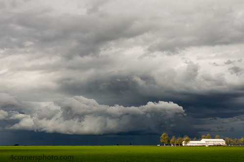
Spring Storm and Barn, San Joaquin County, CA
california longexposure nightphotography blackandwhite bw moon fog night landscape silhoutte windturbine windfarm geminids windturbines robertmilton
wind turbines and the moon
california train ace tracy locomotive mpi altamontcommuterexpress f40phc3
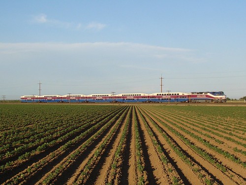
ACE 8
Sunrise at Bethany
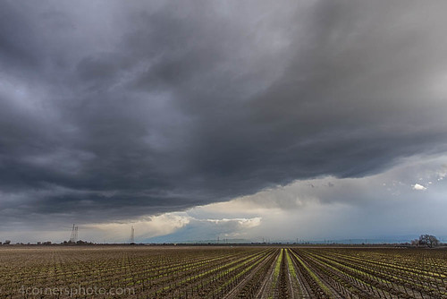
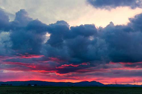
california winter sky storm color tree rain weather clouds rural landscape vineyard scenery unitedstates farm powerlines crop vegetation northamerica thunderstorm agriculture stockton grape centralvalley sanjoaquinvalley hydrotower sanjoaquincounty transmissiontower 4cornersphoto
Thunderstorm and Vineyard, San Joaquin County, CA
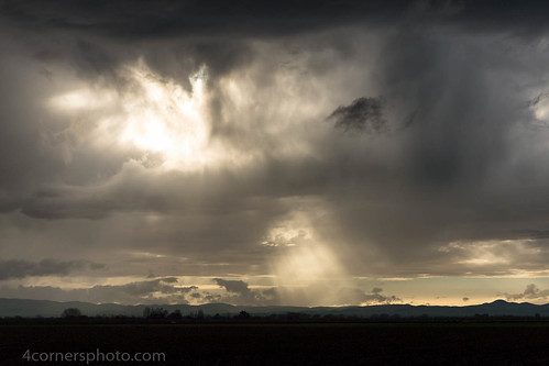
california winter sky storm color tree rain weather clouds rural landscape scenery unitedstates farm hills crop vegetation northamerica thunderstorm agriculture stockton crepuscularrays centralvalley sanjoaquinvalley sanjoaquincounty diablorange 4cornersphoto
Crepuscular Rays, San Joaquin County, CA
winter windmill fog foggymorning sanjoaquincounty pentaxk10d jan12008 pentaxart tracycalif copyrightricharddbeebe centralvalleycalif ©richarddbeebe2012 ©richardbeebe2013
RB_01-01-08_057sq_windmill
california autumn shadow sky fall field weather clouds rural landscape scenery unitedstates farm tracy silo crop northamerica thunderstorm plow agriculture centralvalley sanjoaquinvalley sanjoaquincounty holysugar 4cornersphoto
Autumn Thunderstorm, San Joaquin County, CA
california winter sunset sky storm color rain weather horizontal clouds rural landscape scenery unitedstates farm powerlines crop vegetation northamerica thunderstorm agriculture stockton electrictower sanjoaquinvalley mountdiablo hydrotower contracostacounty sanjoaquincounty unionisland diablorange 4cornersphoto
Sunset, Union Island and Mount Diablo
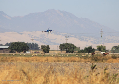
california horse unitedstates sheep aircraft aviation helicopter northamerica agriculture telephonepole centralvalley cropduster mountdiablo cropdusting sanjoaquincounty canonef70300mmf456isusm canoneos50d
Crop Duster and Mount Diablo, CA
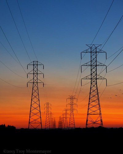
california morning sky color vertical rural sunrise landscape dawn twilight unitedstates pylon powerlines electricity northamerica electrictower centralvalley hydrotower sanjoaquincounty transmissiontower 4cornersphoto
Electric Tower and Twilight, San Joaquin County, CA
junjul2009 146
california sunset summer sky color tree silhouette horizontal clouds landscape scenery unitedstates farm northamerica agriculture centralvalley sanjoaquinvalley mountdiablo sanjoaquincounty diablorange 4cornersphoto
Sunset, Mount Diablo, CA