Elevation of W Clover Rd, Tracy, CA, USA
Location: United States > California > San Joaquin County > Tracy >

Longitude: -121.44912

Latitude: 37.7625535

Elevation: 4m / 13feet

Barometric Pressure: 101KPa

Elevation Map:

elevation map of W Clover Rd, Tracy, CA, USA
Satellite Map:

Satellite map of W Clover Rd, Tracy, CA, USA
Related Photos:

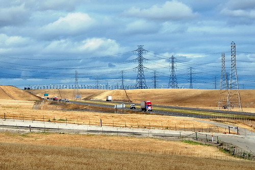
color art photoshop colourartaward tauras101
round view
square squareformat iphoneography instagramapp xproii uploaded:by=instagram foursquare:venue=51be2103498ed90a02991469
The view this morning.
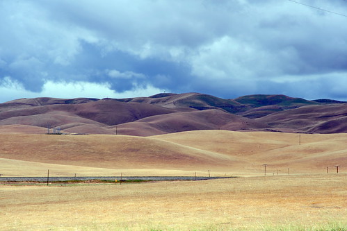
acdseeultimate california earth ecosystem farmfield field flora landscapes may naturalhabitatadventures naturalworld nature nikond700 northamerica photogeorge photoshoot spring tracy unitedstatesofamerica us
View From The Coast to Yosemite NP
acdseeultimate california earth ecosystem farmfield field flora landscapes may naturalhabitatadventures naturalworld nature nikond700 northamerica photogeorge photoshoot spring tracy unitedstatesofamerica us
View From The Coast to Yosemite NP
love rose paper petals purple you note letter dried
whats wrong with my heart?
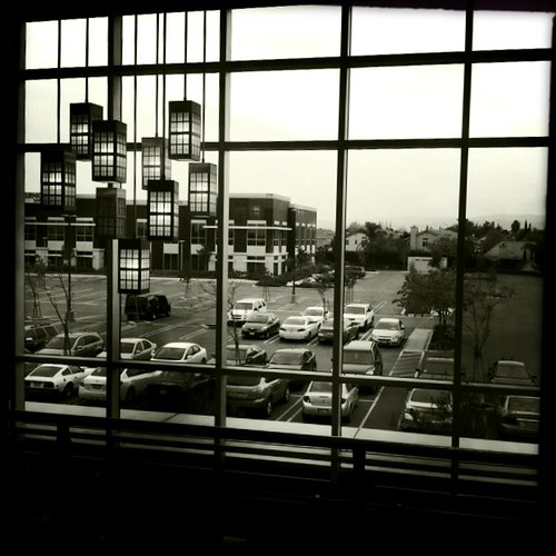
california bw usa march tracy noflash 2012 iphone daveparker johnslens hipstamatic claunch72monochromefilm little365club
Window view
shadow macro bug insect horsefly tokina100mmf28atxprod tokina100mmf28 nikond5100
Horse Fly
california night evening october dusk tracy hotairballoon ©richardbeebe2012 ©richarddbeebe2012
Tracy_Transit-BusStop
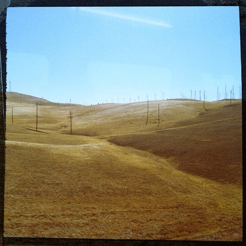
california ca usa june train ace pass tracy 2012 altamont daveparker
View from the train
joanneanddennis
Memoir Avenue
hdr
Sunset in Tracy
Tub View
macro closeup bug insect tokina100mmf28atxprod tokinaaf100mmf28macro tokinalenses bluewasp
Blue Mud Wasp?
california green ecology birds geotagged tv energy power alternativeenergy environment kqed pbs raptors turbines altamont sanjoaquinvalley birdstrike sanjoaquincounty kqedquest geo:lat=377388413088189 geo:lon=121616501143426 enxco
Burrowing Owl
sojurntomotown pattersonpassroad m43 cmount cinelens microfourthirds taylorhobson 25mm olympusepl1 supercomat1inchf19madebytaylortaylorhobsonltdengland olympusvf2electronicviewfinder
a rare view for these parts - no wind turbines
Hailing/Snowing on Altamont Pass (April 7, 2011)
Enjoying A Sunset In Tracy, CA (3-28-12) Photo #3
california green ecology birds geotagged tv energy power alternativeenergy environment kqed pbs raptors turbines altamont sanjoaquinvalley birdstrike sanjoaquincounty kqedquest geo:lat=377060670495199 geo:lon=121616253807545 enxco
Up in the Pass
california usa us photographer unitedstates stock tracy countries getty editing photomortenfalchsortland mortenfalchsortland editadrienlefalher
California Landscape
joanneanddennis
Memoir Avenue
california green ecology birds geotagged tv energy power alternativeenergy environment kqed pbs raptors turbines altamont sanjoaquinvalley birdstrike sanjoaquincounty kqedquest geo:lat=377388413088189 geo:lon=121616501143426 enxco
The Breeze is their Business
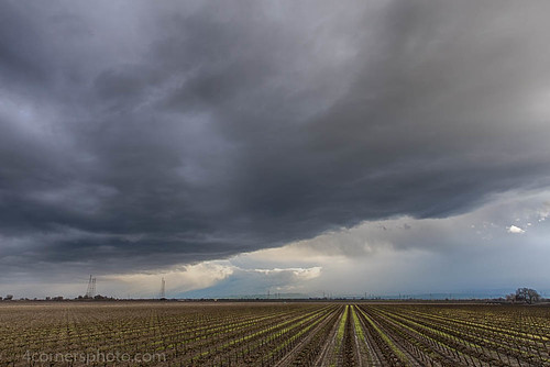
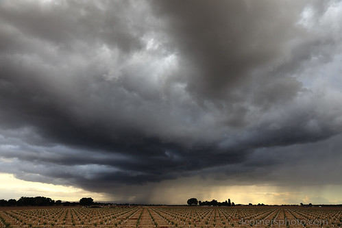
california winter sky storm color tree rain weather clouds rural landscape vineyard scenery unitedstates farm powerlines crop vegetation northamerica thunderstorm agriculture stockton grape centralvalley sanjoaquinvalley hydrotower sanjoaquincounty transmissiontower 4cornersphoto
Thunderstorm and Vineyard, San Joaquin County, CA
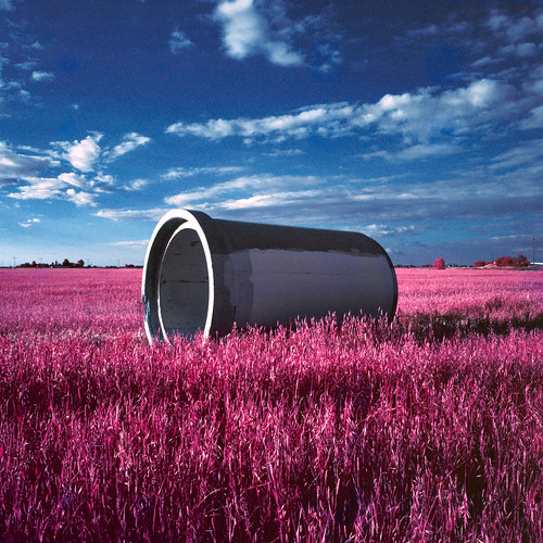
eyetwistkevinballuff eyetwist film analog colorinfrared aerochrome eir mamiya 6mf 50mm kodak color infrared ir ishootfilm e6 slide mamiya6mf mamiya50mmf4l kodakaerochromecolorinfraredeir ektachrome ishootkodak analogue mamiya6 square 6x6 120 primes filmexif iconla epsonv750pro mediumformat medium format false red 099 infracolor filter lenstagger magenta blue landscape lathrop california stockton field grass pipe conduit concrete abandoned clouds sky lonely empty bleak minimalist horizon geometric round
pipe (color infrared). lathrop, ca. 2016.
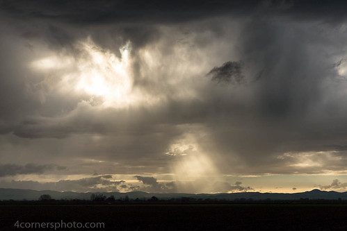
california winter sky storm color tree rain weather clouds rural landscape scenery unitedstates farm hills crop vegetation northamerica thunderstorm agriculture stockton crepuscularrays centralvalley sanjoaquinvalley sanjoaquincounty diablorange 4cornersphoto
Crepuscular Rays, San Joaquin County, CA
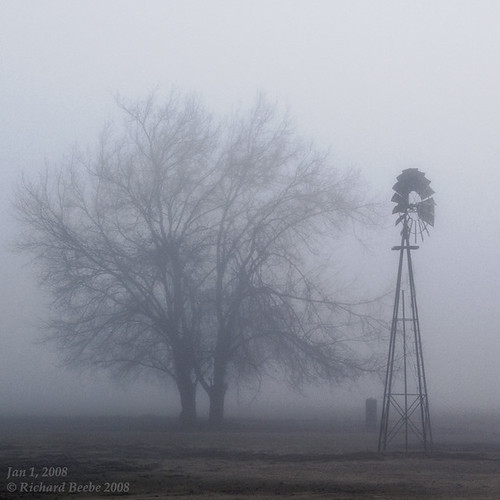
winter windmill fog foggymorning sanjoaquincounty pentaxk10d jan12008 pentaxart tracycalif copyrightricharddbeebe centralvalleycalif ©richarddbeebe2012 ©richardbeebe2013
RB_01-01-08_057sq_windmill
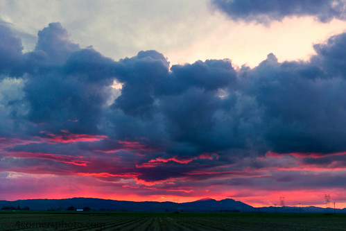
california winter sunset sky storm color rain weather horizontal clouds rural landscape scenery unitedstates farm powerlines crop vegetation northamerica thunderstorm agriculture stockton electrictower sanjoaquinvalley mountdiablo hydrotower contracostacounty sanjoaquincounty unionisland diablorange 4cornersphoto
Sunset, Union Island and Mount Diablo
california sun silhouette clouds sunrise unitedstates tracy silo powerlines northamerica greatblueheron highvoltage centralvalley sanjoaquinvalley ardeaherodias sanjoaquincounty transmissiontower canoneos5dmarkii hollysugar
Sunrise, Holly Sugar, Tracy, CA
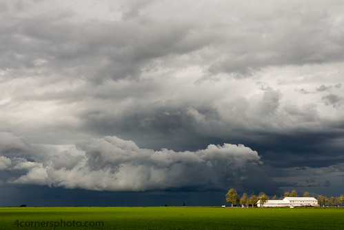
california sky color tree rain weather clouds barn rural landscape us spring scenery unitedstates farm crop vegetation northamerica agriculture stockton centralvalley alfalfa sanjoaquinvalley sanjoaquincounty unionisland 4cornersphoto
Spring Storm and Barn, San Joaquin County, CA
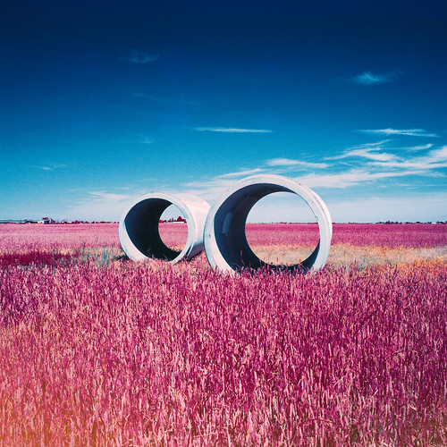
eyetwistkevinballuff eyetwist pipes eir film analog colorinfrared aerochrome mamiya 6mf 50mm kodak color infrared ir ishootfilm e6 slide mamiya6mf mamiya50mmf4l kodakaerochromecolorinfraredeir ektachrome ishootkodak analogue mamiya6 square 6x6 120 primes filmexif iconla epsonv750pro mediumformat medium format false red 099 infracolor filter lenstagger magenta blue landscape lathrop california stockton field grass pipe conduit concrete abandoned clouds sky lonely empty bleak orange minimalist construction horizon geometric round circle
pipes (color infrared). lathrop, ca. 2016.
4cornersphoto agriculture california centralvalley clouds color farm landscape northamerica orchard rain rural sanjoaquincounty sanjoaquinvalley scenery sky spring storm thunderstorm tree unionisland unitedstates weather stockton us cloudscape outdoor
Thunderstorm and Orchard, San Joaquin County, CA
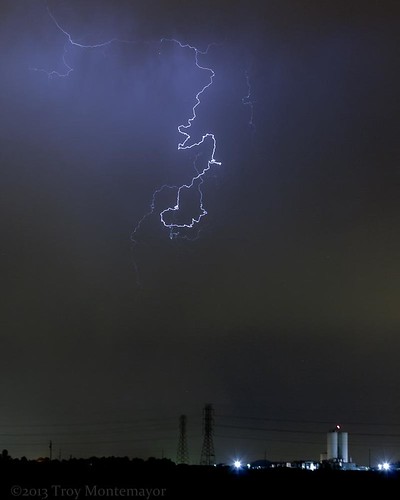
california longexposure sky storm color abandoned rain weather vertical night clouds landscape unitedstates tracy silo powerlines electricity northamerica thunderstorm lightning electrictower centralvalley sanjoaquinvalley sanjoaquincounty hollysugar 4cornersphoto
Thunderstorm, Holly Sugar, Tracy, CA
eyetwistkevinballuff eyetwist pipe pipleline water sewer conduit mamiya 6mf 50mm kodak portra 160 mamiya6mf mamiya50mmf4l kodakportra160 ishootfilm analog analogue film emulsion mamiya6 square 6x6 mediumformat 120 primes filmexif iconla epsonv750pro filmtagger ishootkodak norcal stockton california roadside americana american typologies america tunnel tunnels aqueduct delta salt i5 interstate dry arid drought parched bleak infrastructure eggleston boring banal ordinary landscape graphic round minimalist circle horizon concrete cement newtopographics geometric circlesquare abstract
circle square. lathrop, ca. 2015.
Sunrise at Bethany
california pink flowers green look studio colorful ray purple vibrant iii lathrop lathropcalifornia apred
Sharp as Grass
cliftoncourtforebay inspire1 aerial barn bridge burn burnt byron calfire california delta dji drone droneshot farm field fire hills marina phantom4pro powerpole river road rock shadows sky slough smoke summer transmissionline water unitedstates us
DJI_0011-HDR
Lathrop, CA
cliftoncourtforebay inspire1 aerial barn bridge burn burnt byron calfire california delta dji drone droneshot farm field fire hills marina phantom4pro powerpole river road rock shadows sky slough smoke summer transmissionline water unitedstates us
DJI_0016-HDR
Lathrop, CA
california bw landscape tomb tracy hasselblad lonely vernalis sanjoaquincounty brichetto
Brichetto Tomb Nº 1