Elevation of Lupine Ln, Pleasant Hill, CA, USA
Location: United States > California > Contra Costa County > Pleasant Hill >
Longitude: -122.0743751
Latitude: 37.9787891
Elevation: 18m / 59feet
Barometric Pressure: 0KPa
Related Photos:
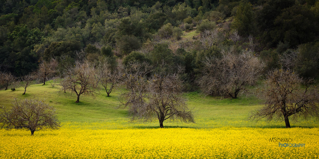
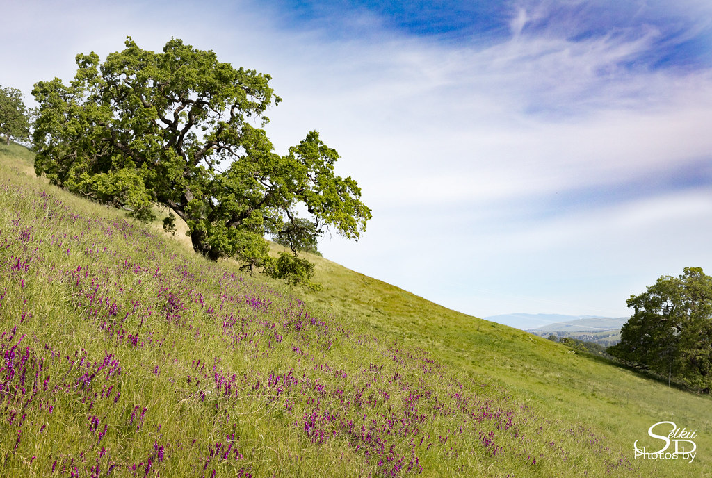
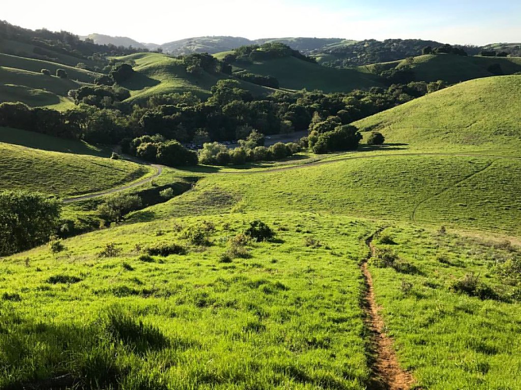
Spring View
Nice even on a hazy day: views of Mount Diablo. I'm loving Briones. #hiking #blessed #lucky #outside #nature #california #52hikechallenge2017 #cali #visitcalifornia #ebrpd #eastbay #norcal #martinez

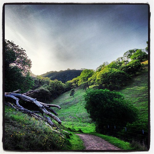
Fork In The Road - Walnut Creek, California
Diablo Spring #1 - Lafayette, California
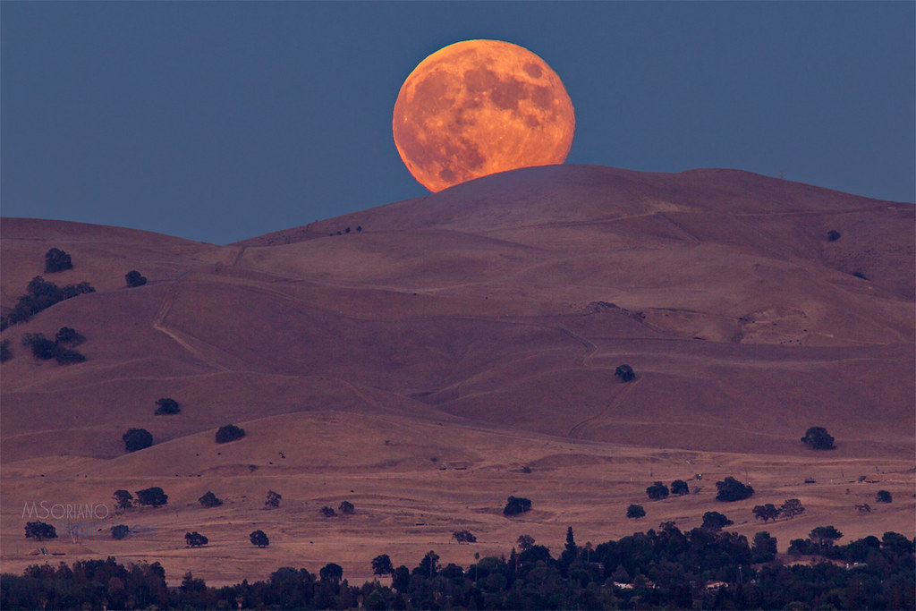
Harvest Moon
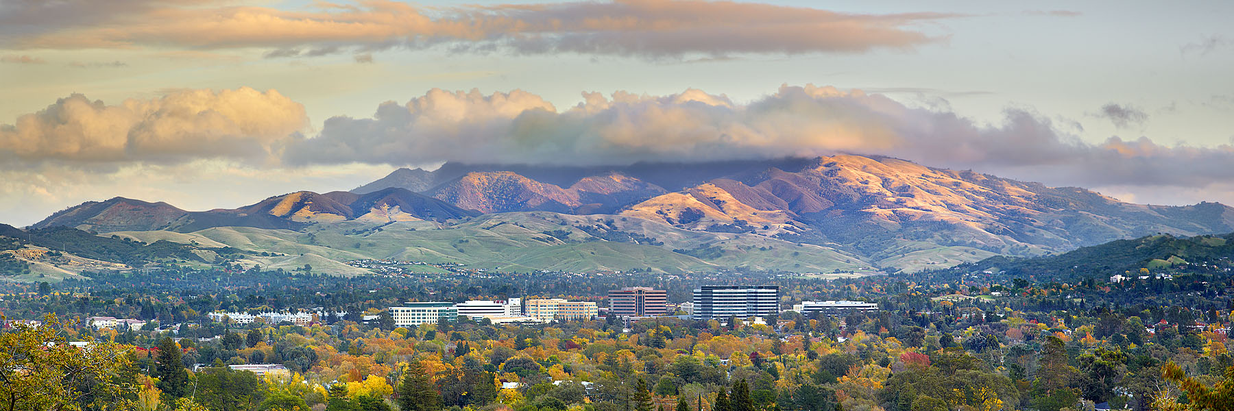
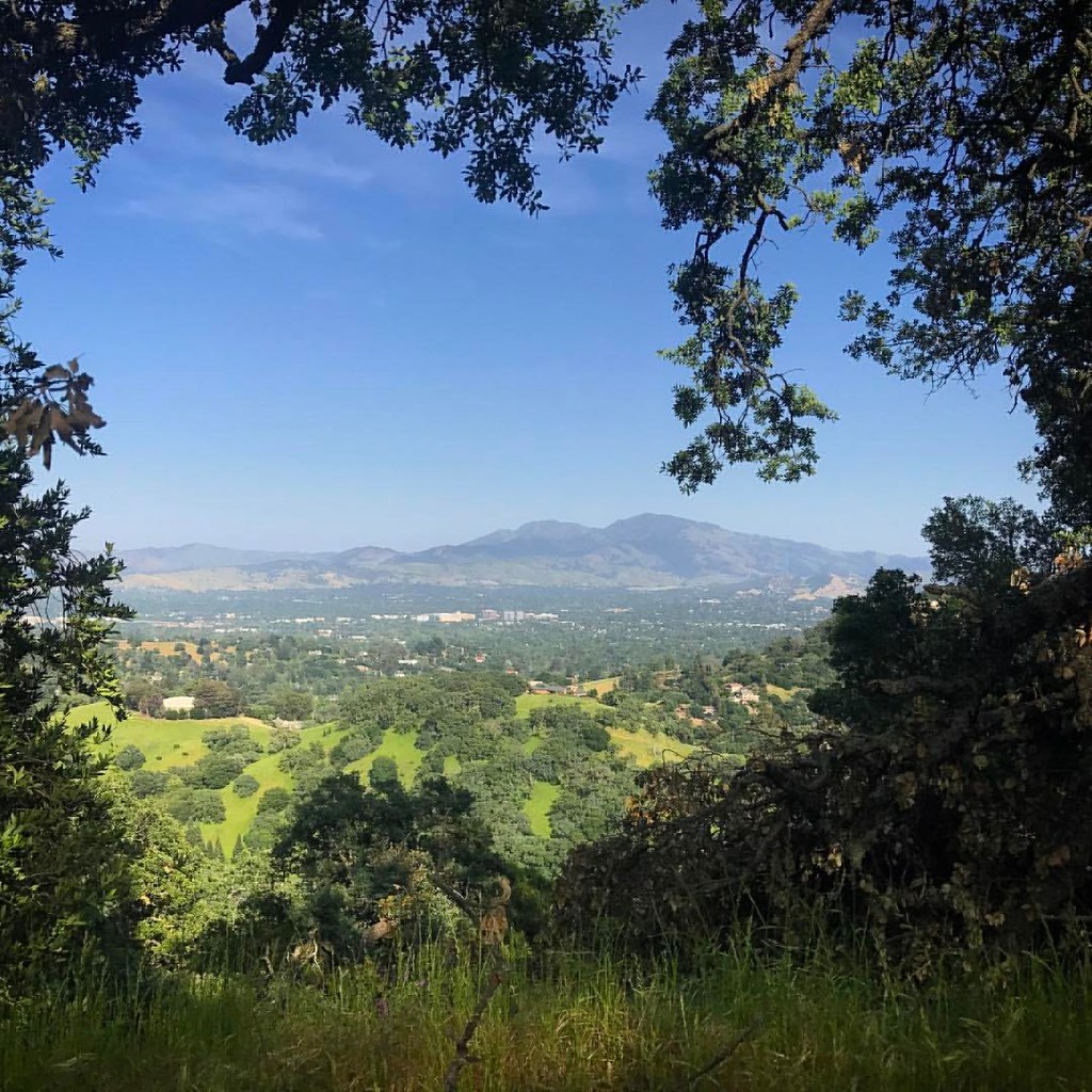
Diablo Valley View #1 - Pleasant Hill, California

The Fine Art of Surfacing
Paved in Gold

Dinosaur Hill Park II

In the piling forest

A Kiss under the Veil
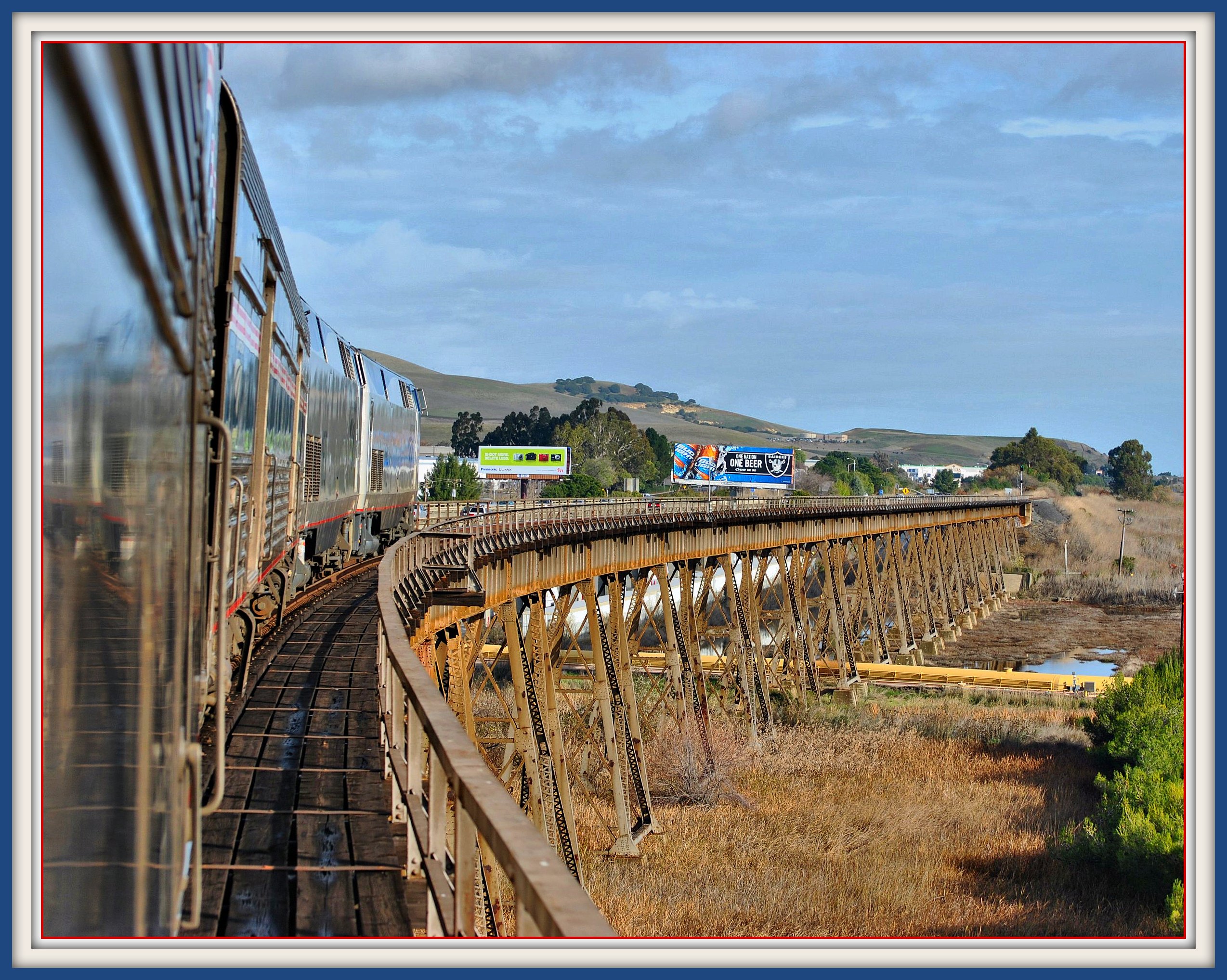
California Zephyr on Benicia California Trestle

1955 Studebaker Commander - Rear View
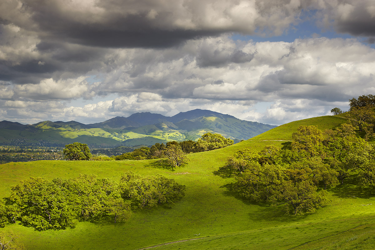
Mount Diablo Foothills

John Muir's Victorian Home, rear view.

Mt. Diablo Sunset
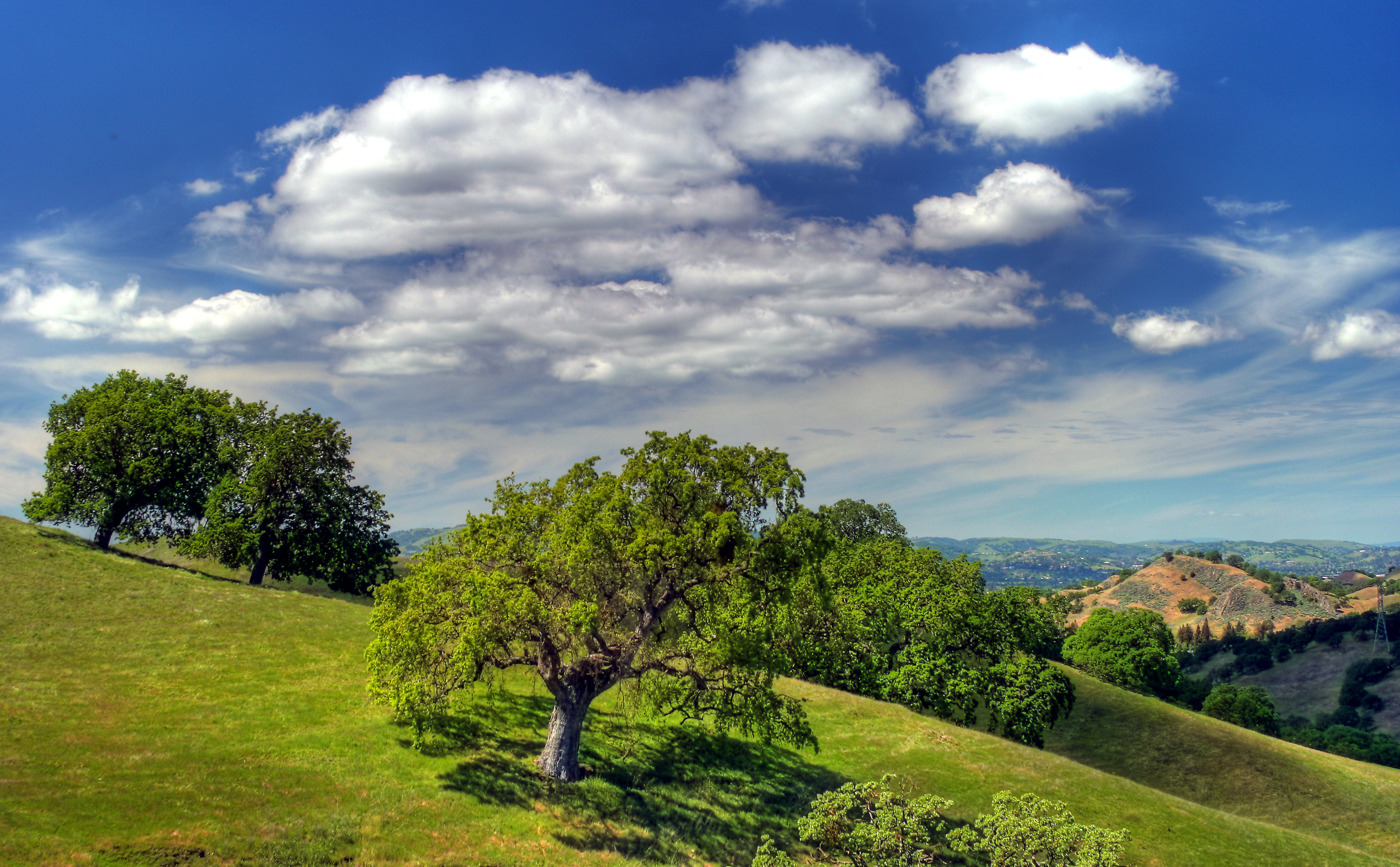
The Old Oak Tree

A frosty morning

The Art Of A Dragonfly
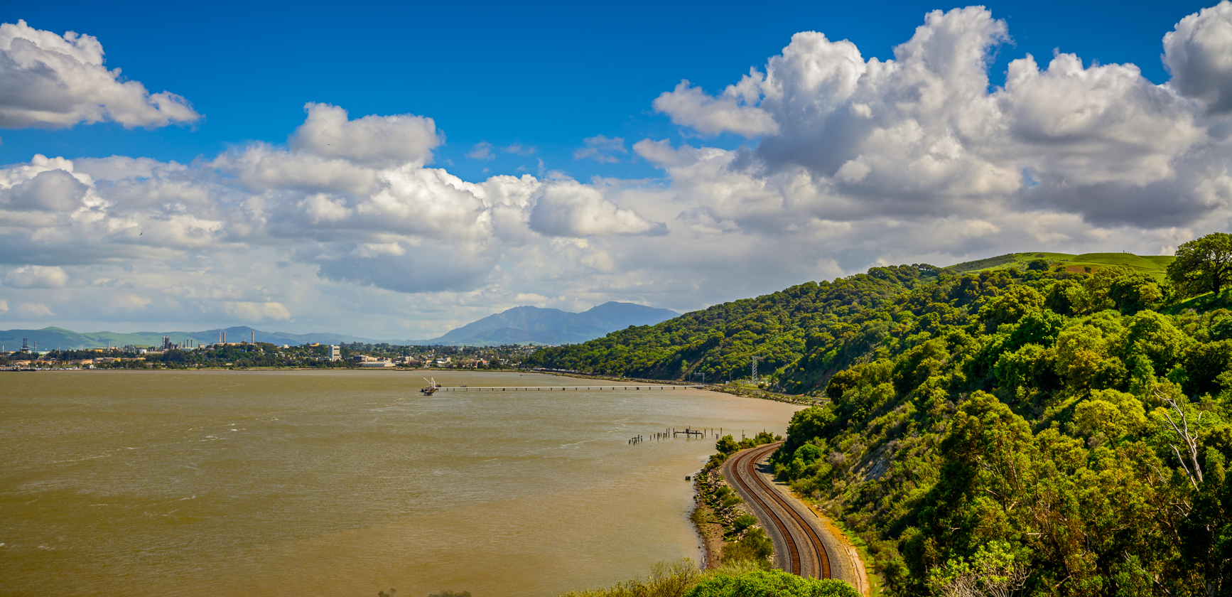
Carquinez Strait Regional Shoreline Scenic

Aerial view of Mount Diablo in Fog over Northern California
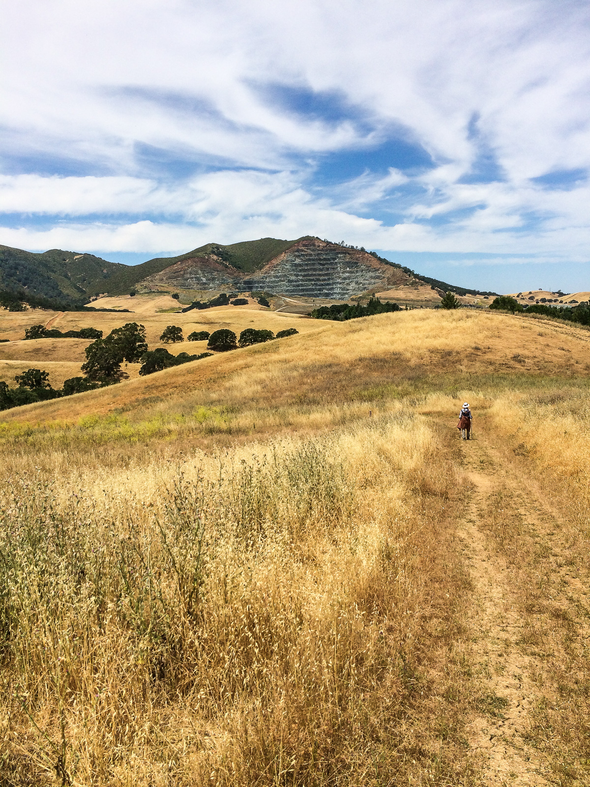
Mountain partially skinned (Mt Zion mine)
I'm loving Briones. Perfect #hiking weather. #blessed #lucky #outside #nature #california #wildflowers #52hikechallenge2017 #cali #visitcalifornia #ebrpd #eastbay #norcal #martinez

Lagoon, Briones.

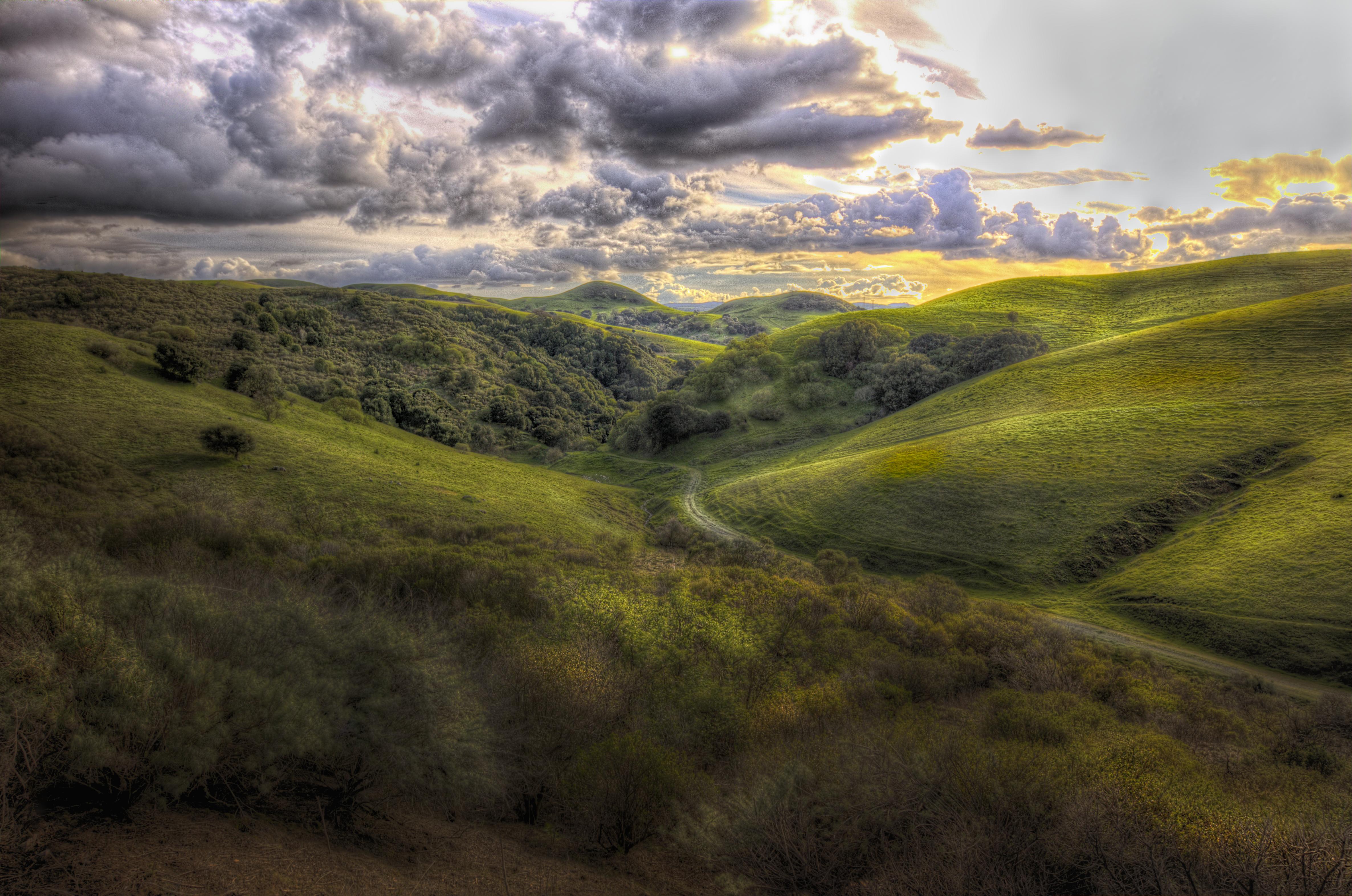
Over Hill & Dale

Benicia Bay Trail
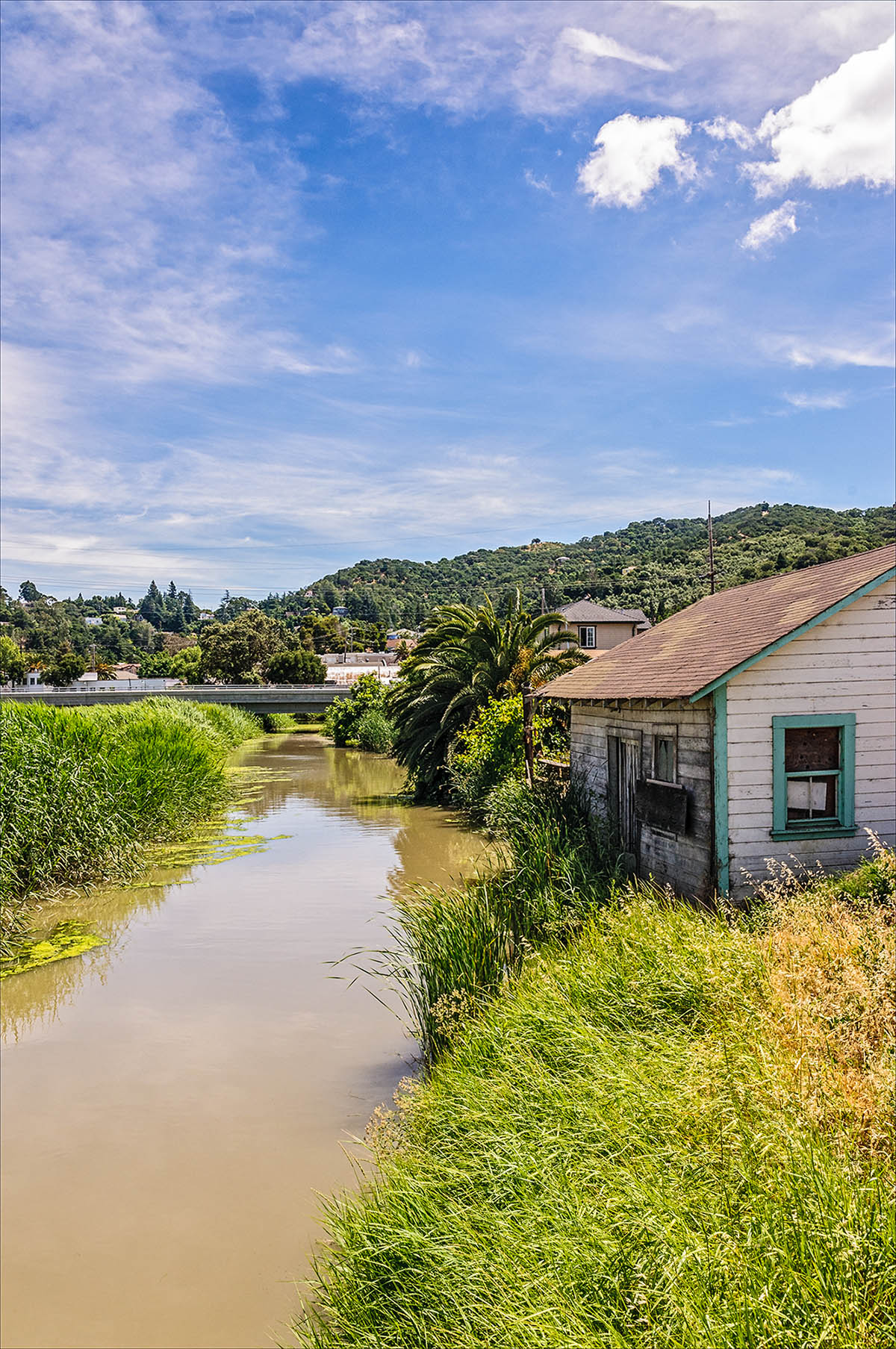
Shack on Alhambra Creek

Canada Geese
Nature with a nice trail n a twist of instragram!
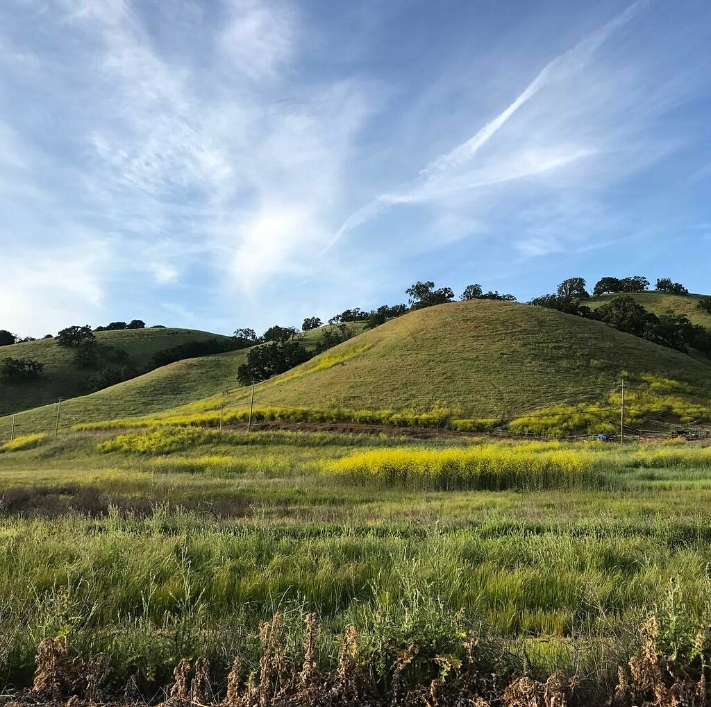
Contra Costa hills
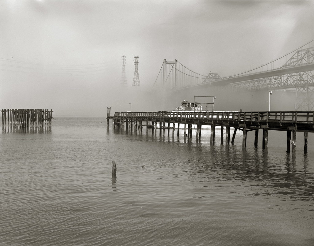
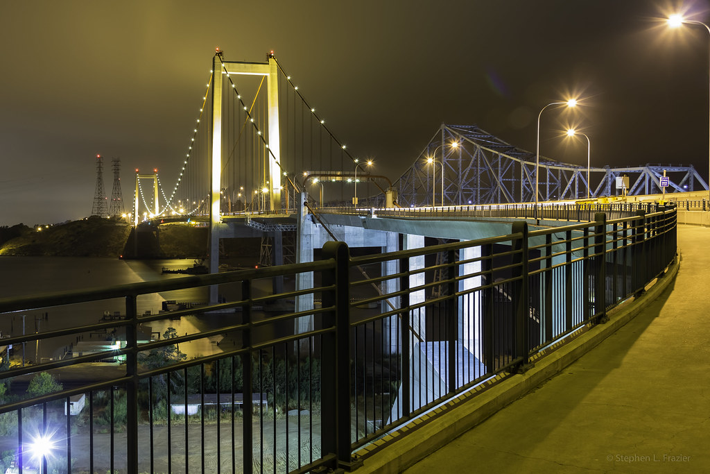
Zampa Bridge Nº 2
Nearly perfect day #green #hiking #california #cali #outside #spring #walking #norcal #landscape #briones #ebrpd

Mindless Self Indulgence

Mt Wanda Sky

Castle Rocks - Diablo Foothills

Martinez Cloud Stack

IMGP459 PSR
Topographic Map of Lupine Ln, Pleasant Hill, CA, USA
Find elevation by address:

Places near Lupine Ln, Pleasant Hill, CA, USA:
123 Lupine Ln
Pacheco
Center Ave, Pacheco, CA, USA
2241 Lake Oaks Ct
115 Center Ave
43 College Dr
43 College Dr
704 Duke Cir
717 Duke Cir
712 Duke Cir
721 Duke Cir
43 College Way
140 St Germain Ln
284 Minoru Dr
105 Fig Tree Ln
2351 Stanwell Dr
4209 Pacheco Blvd
105 Costanza Dr
1699 Laguna St
3002 Galindo St
Recent Searches:
- Elevation of Pasing, Munich, Bavaria, 81241, Germany
- Elevation of 24, Auburn Bay Crescent SE, Auburn Bay, Calgary, Alberta, T3M 0A6, Canada
- Elevation of Denver, 2314, Arapahoe Street, Five Points, Denver, Colorado, 80205, USA
- Elevation of Community of the Beatitudes, 2924, West 43rd Avenue, Sunnyside, Denver, Colorado, 80211, USA
- Elevation map of Litang County, Sichuan, China
- Elevation map of Madoi County, Qinghai, China
- Elevation of 3314, Ohio State Route 114, Payne, Paulding County, Ohio, 45880, USA
- Elevation of Sarahills Drive, Saratoga, Santa Clara County, California, 95070, USA
- Elevation of Town of Bombay, Franklin County, New York, USA
- Elevation of 9, Convent Lane, Center Moriches, Suffolk County, New York, 11934, USA
- Elevation of Saint Angelas Convent, 9, Convent Lane, Center Moriches, Suffolk County, New York, 11934, USA
- Elevation of 131st Street Southwest, Mukilteo, Snohomish County, Washington, 98275, USA
- Elevation of 304, Harrison Road, Naples, Cumberland County, Maine, 04055, USA
- Elevation of 2362, Timber Ridge Road, Harrisburg, Cabarrus County, North Carolina, 28075, USA
- Elevation of Ridge Road, Marshalltown, Marshall County, Iowa, 50158, USA
- Elevation of 2459, Misty Shadows Drive, Pigeon Forge, Sevier County, Tennessee, 37862, USA
- Elevation of 8043, Brightwater Way, Spring Hill, Williamson County, Tennessee, 37179, USA
- Elevation of Starkweather Road, San Luis, Costilla County, Colorado, 81152, USA
- Elevation of 5277, Woodside Drive, Baton Rouge, East Baton Rouge Parish, Louisiana, 70808, USA
- Elevation of 1139, Curtin Street, Shepherd Park Plaza, Houston, Harris County, Texas, 77018, USA