Elevation of Minoru Dr, Pacheco, CA, USA

Location: United States > California > Contra Costa County > Pacheco >

Longitude: -122.06604

Latitude: 37.9920865

Elevation: 5m / 16feet

Barometric Pressure: 101KPa

Elevation Map:

elevation map of Minoru Dr, Pacheco, CA, USA

Satellite Map:

Satellite map of Minoru Dr, Pacheco, CA, USA

Related Photos:

frost afrostymorning cotoneasterleaves frostcrystalsonleaves
A frosty morning
life california blue wild lake macro reflection nature water animal closeup fauna bug insect fly flying inflight amazing pond nikon bravo zoom action dragonfly ripple wildlife flight soe odonata d40 magicdonkey golddragon abigfave shieldofexcellence goldmedalwinner anawesomeshot aplusphoto superbmasterpiece megashot 55200mmvr amazingamateur excellentphotographerawards naturewatcher natureoutpost amazingexcellence
The Art Of A Dragonfly
california travel wallpaper sky usa cloud nature grass self sunrise canon landscape interestingness oak lafayette path hill dirt bayarea 5d canon5d eastbay diablo walnutcreek mtdiablo concord oaktree pleasanthill mkii srf goldenstate 1740l baytree contracosta realization intestingness contracostacounty 5dmkii
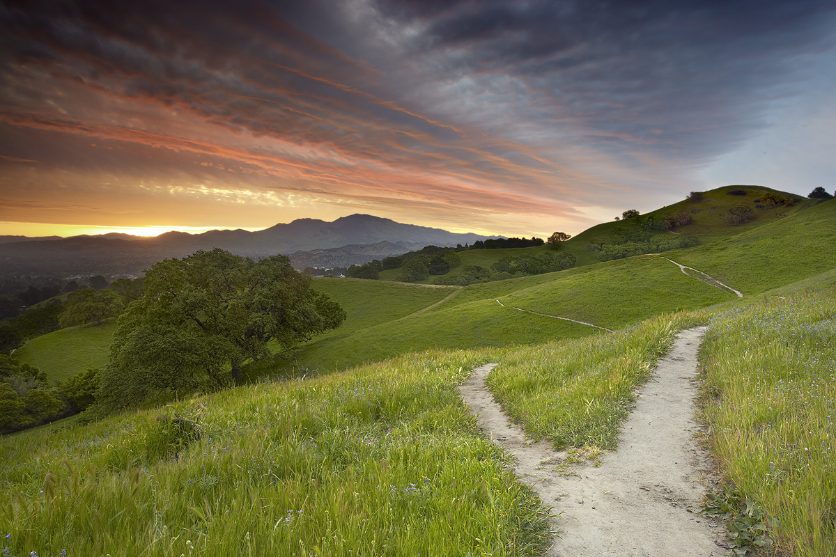
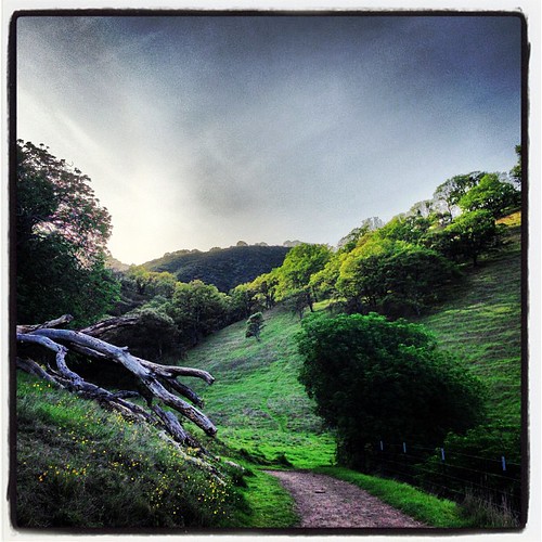
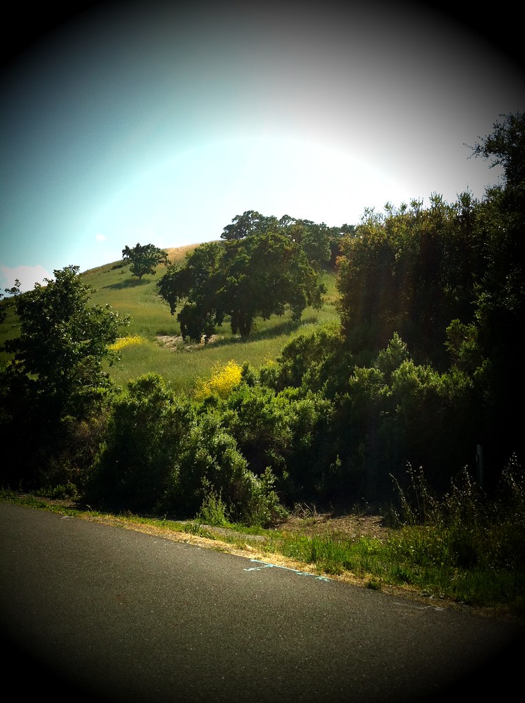
Fork In The Road - Walnut Creek, California
morning blue orange sun sunlight tree silhouette oak day branches clear bayarea walnutcreek mtdiablo pleasanthill contracosta giantoak
Dinosaur Hill Park II
sanfrancisco california travel sunset sky panorama cloud costa mountain snow storm fall nature colors landscape lafayette clayton pano danville valley freeway bayarea diablo walnutcreek concord alamo antioch contra pleasanthill 680 dinosaurhill
Snows of Diablo - Pleasant Hill, California
sunset carquienez
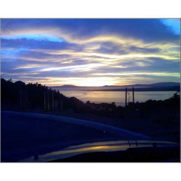
View from Caruinez lookout
color may 2018 boury pbo31 nikon d810 bayarea california over view contracostacounty bridge crockette park sunset water carquinezstrait vallejo
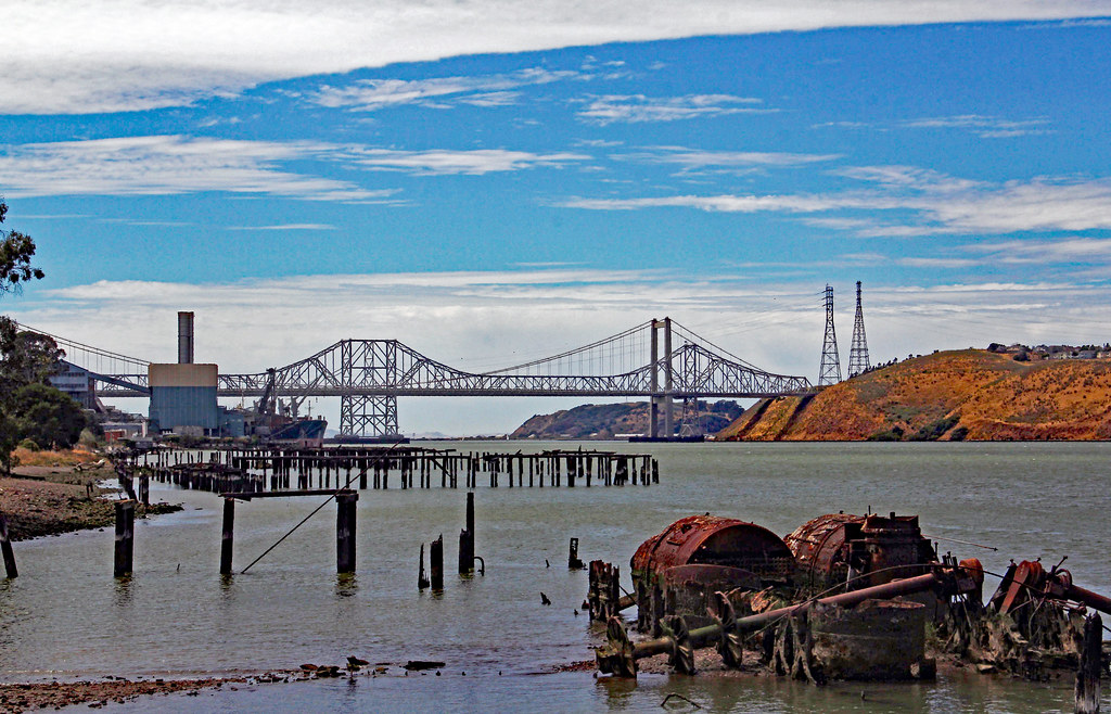
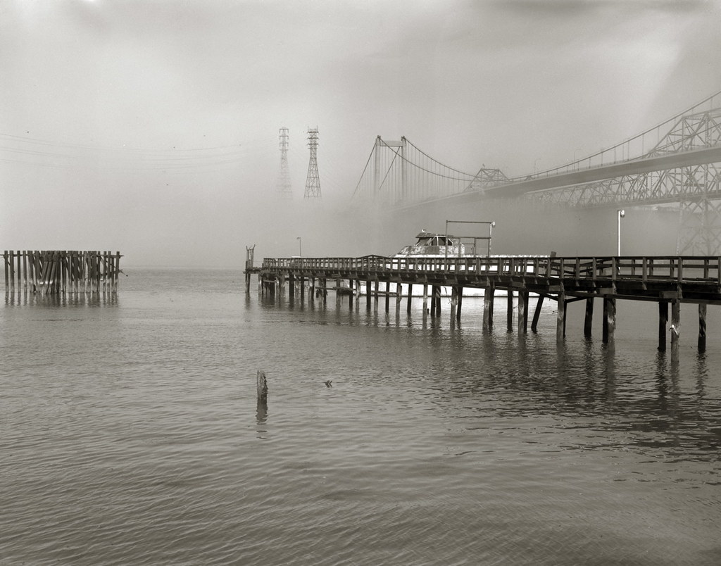
over the carquinez bridge
color may 2018 boury pbo31 nikon d810 bayarea california over view contracostacounty bridge crockette park sunset water carquinezstrait vallejo
carquinez strait gateway
ngc americankestral coth avianexcellence coth5 carquinezregionalpark2012
'catchlight'
california christmas white flower macro fleur closeup canon lights blossom bokeh 100mm bloom alamo aster christmastreelights johnmorgan
Asters in the Lights
california blue woman water pool girl swimming swim training freestyle surface swimmingpool swimmer sharley
The Fine Art of Surfacing
sanfrancisco statepark road sky mountain beautiful northerncalifornia landscape photography photo photographer image picture photograph sanfranciscobayarea bayarea eastbay norcal mtdiablo visitorcenter mountdiablo contracosta contracostacounty mitchellcanyon
Mitchell Canyon Visitor Center, Mount Diablo State Park
clouds sky view vista scenery nature carquinez carquinezstrait water chsugarmill canon eos 60d eos60d canoneos60d wdbones99 ca calif ebparksok
2018_07_07Eckley pier6
square squareformat iphoneography instagramapp uploaded:by=instagram
The view from "The Office" is pretty nuts right now. Why am I still working?
california travel trestle train december amtrak benicia klm 2010 eastbound californiazephyr
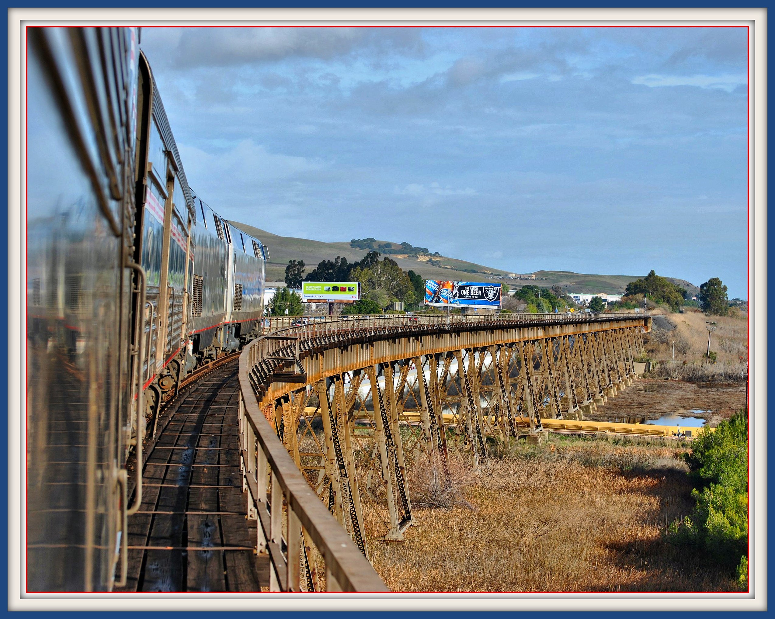
California Zephyr on Benicia California Trestle
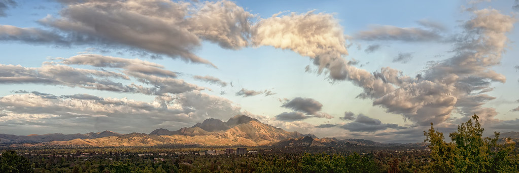
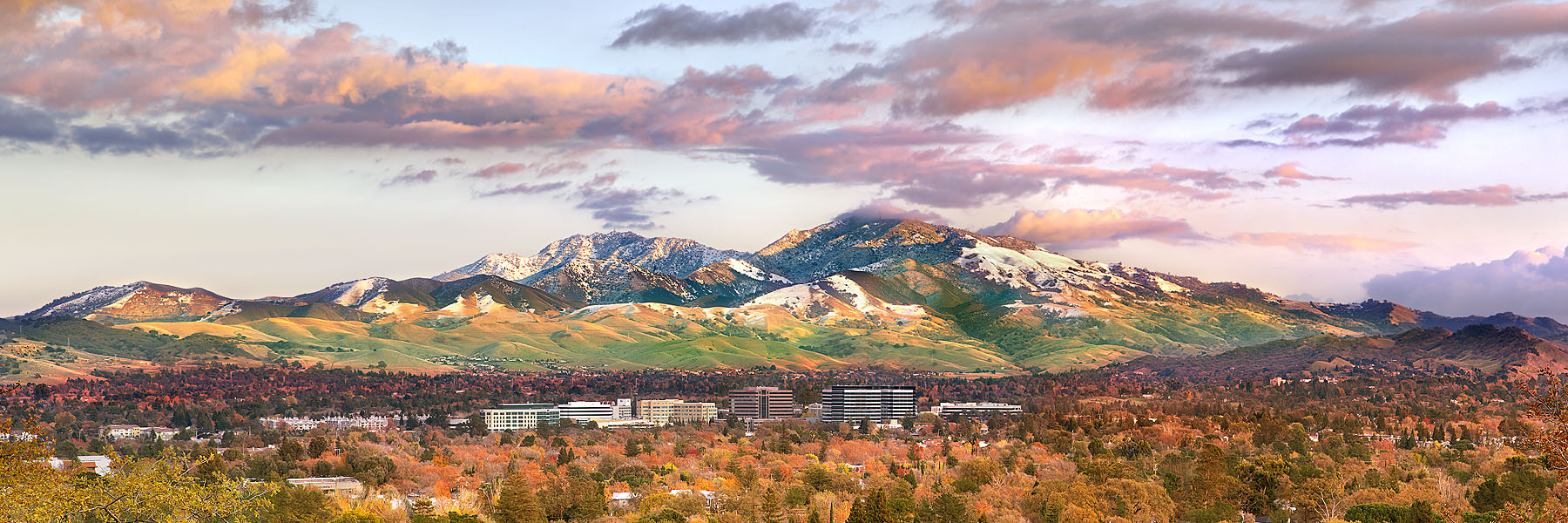
california sky panorama clouds buenavista eastbay norcal walnutcreek pleasanthill mountdiablo laslomas uwb contracostacounty nikond90
Mt Diablo
ngc americankestral avianexcellence sunrays5 carquinezstraitregionalpark
'no catchlight'
crockett chsugarrefinery carquinezstrait
Sweet Dreams Sugar Town
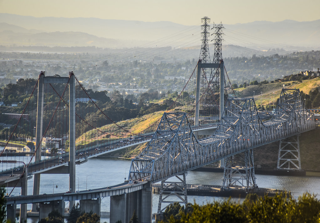
california road ca camera railroad bridge blue red panorama orange moon color green water yellow night train lens stars photography 50mm prime star james photo nikon colorful long exposure track photographer purple f14 pano 14 shell sigma rail panoramic trail moonlit capitol benicia 50 refinery truss d90 larieau
Benicia Bridges
Sunset view from Ohlone Trail
square squareformat iphoneography instagramapp uploaded:by=instagram foursquare:venue=4ad15593f964a52018de20e3
My backbone is enjoying this view.
california longexposure sunset mountain tree nature clouds landscape mt alpenglow mountdiablo
Mt. Diablo Sunset
2011 feb crockett landscape clouds gdgexcellence dlexc ffp
Contra Costa hills
amtrak amtk sanjoaquinvalley sanjoaquin southernpacific sp capitolcorridor california northerncalifornia ge generalelectric p32 passengertrain railroads trains
Valley Flyer Eastbound
7dwf
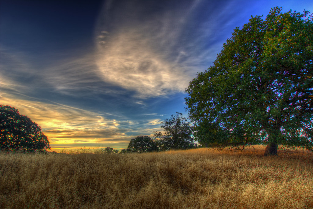
...golden hills of California
flowers trees field yellow spring oak alhambra bayarea mustard wildflowers martinez 2015 marvinsoriano
Spring View
7dwf
...find the cow
california tree nature landscape scenic bayarea eastbay backlit pleasanthill contracostacounty blueoak
blue oaks backlit (Acalanes Ridge)
mtdiablostatepark clayton california unitedstates us
Mountain partially skinned (Mt Zion mine)
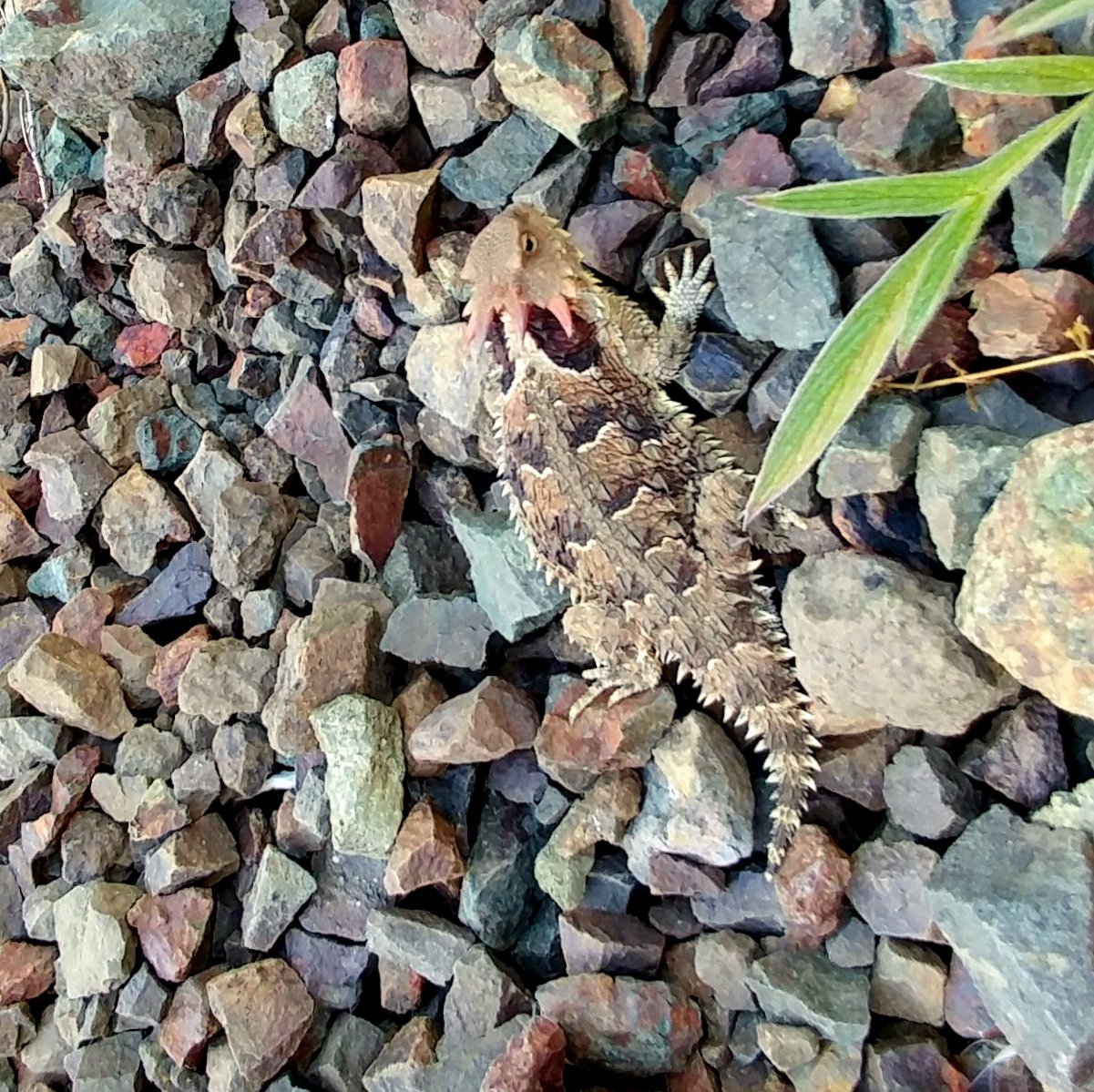
Pacific Horned Lizard
square lofi squareformat iphoneography instagramapp uploaded:by=instagram foursquare:venue=4b9aaf5df964a520cfcc35e3
Nature with a nice trail n a twist of instragram!
darrylmcelroy luqman magicmediaproduction 9000carquinezscenicdrportcostaca94569usa unitedstates california contracostacounty portcosta carquinezscenicdrive contracostacountycausa sanfranciscometropolitanareacausa californiausa ozol portcostacalifornia carquinezstraitregionalshorelinebeniciacalifornia weather nikond7100 clouds carquinezbridge bayarea martinezca beniciapoint landscapes scenic eastbayregionalparkdistrict ebrpd
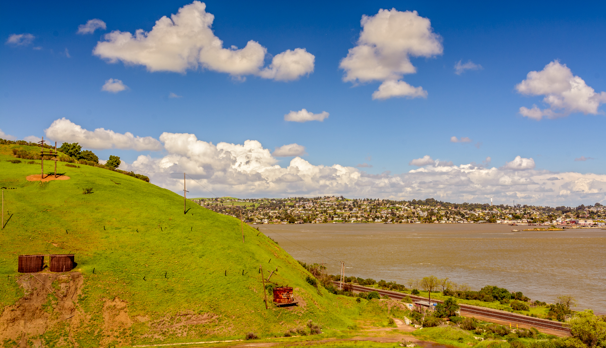
Carquinez Strait Regional Shoreline Scenic
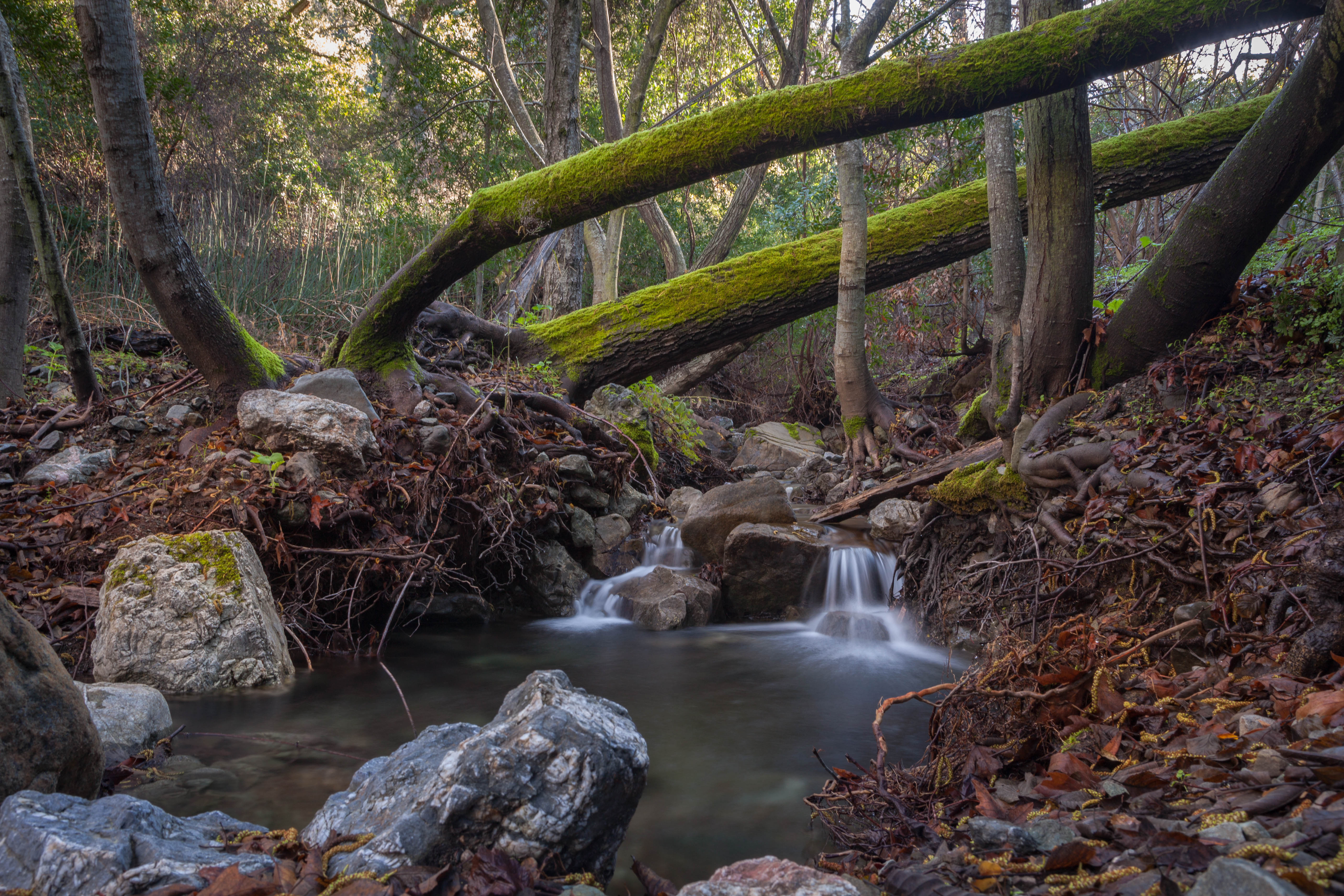
naturaleza naturephotography nature longexposurephotography landscapes river creek trees rocks canon5dmkii canon24105mmf4l outdoors
Mitchel Rock Trail
Landscape view through the reeds at Grangers Wharf
bird redberries housefinchfemale cotoneasterberries haemorhousmexicanus
House finch- female
Beautiful Hills & Trees
sunset sky tree clouds landscape oak hdr mountwanda cityofmartinez
Mt Wanda Sky
sunset clouds landscape magiclantern cityofmartinez timestack
Martinez Sunset with Clouds
sunset clouds cityofmartinez timestack
Martinez Cloud Stack
california bridge fog 4x5 largeformat graflex crockett speedgraphic carquinezstraits
Zampa Bridge Nº 2