Elevation of Lowry Ln, Cañon City, CO, USA
Location: United States > Colorado > Cañon City >
Longitude: -105.46650
Latitude: 38.6209433
Elevation: 2455m / 8054feet
Barometric Pressure: 75KPa
Elevation Map:
Satellite Map:
Related Photos:

Viewing Colorado

IMG_7109-Edit-Pano.jpg
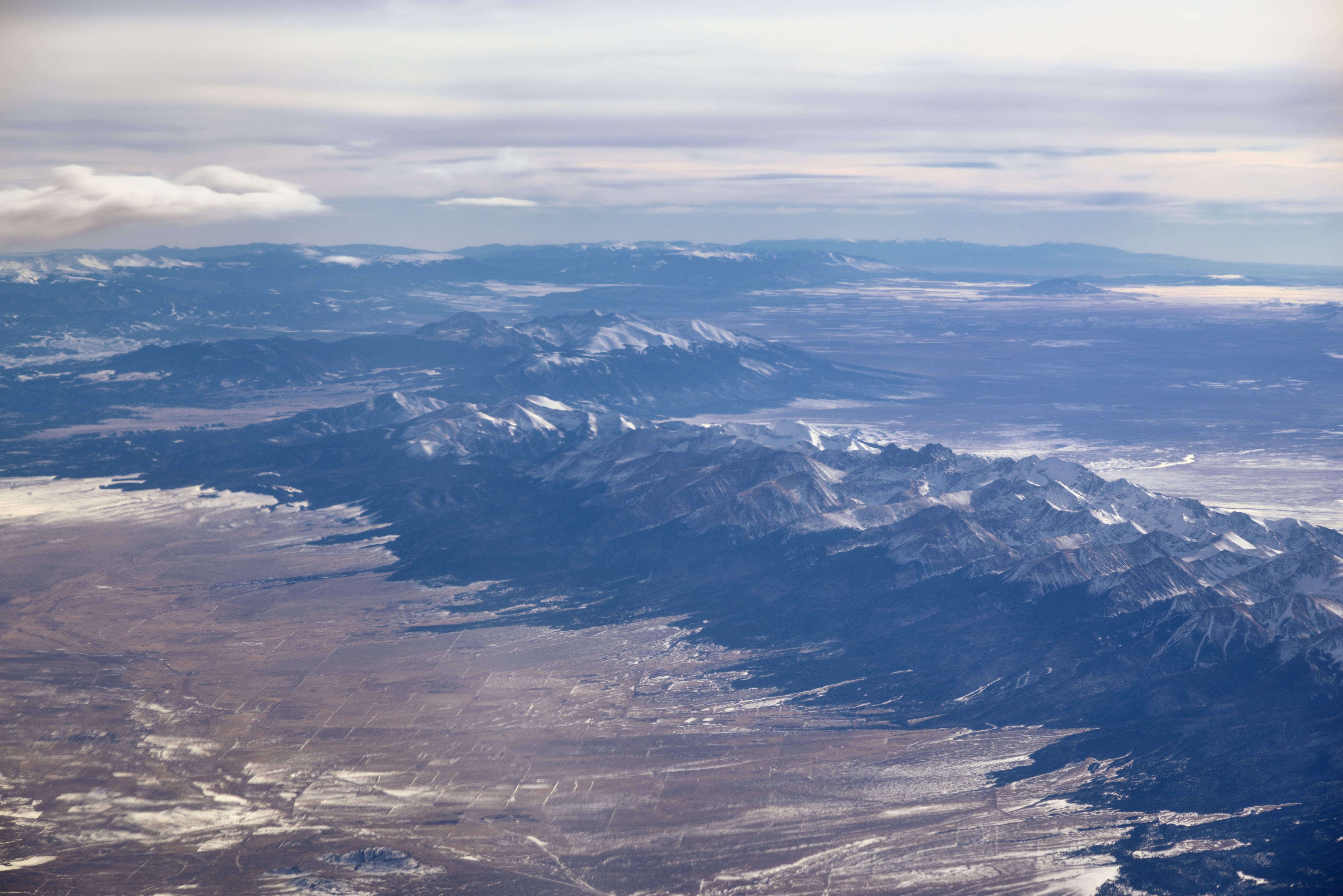
Sangre de Cristo Range and the Rocky Mountains
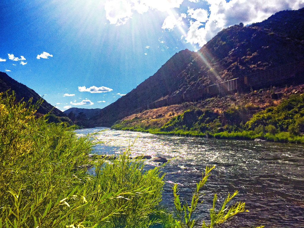
Train along the Arkansas River
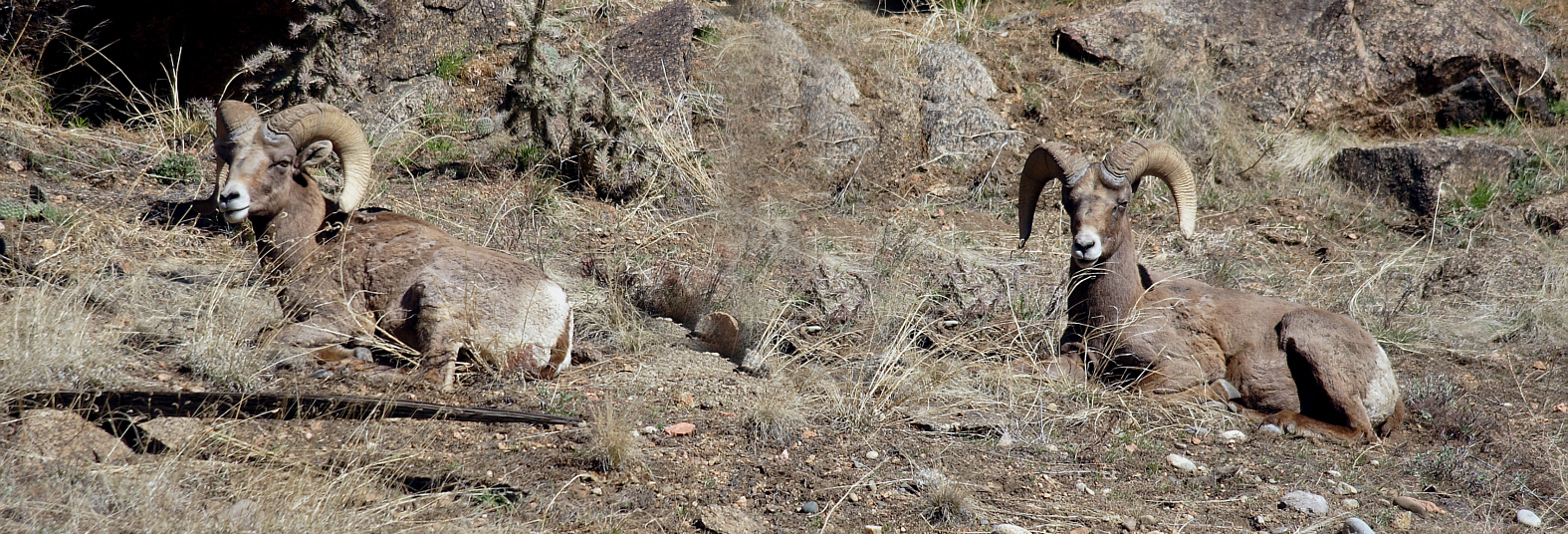
Big Horn Sheep
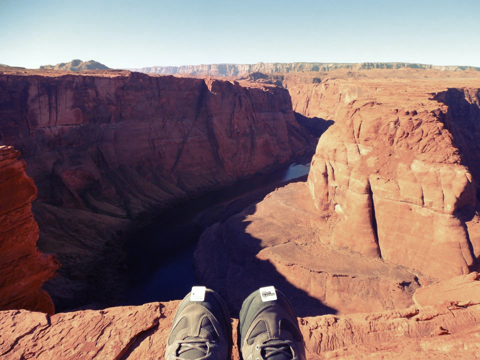
Horse Shoe Bend, au bord du Colorado, à Page (près du lac Powell), États-Unis
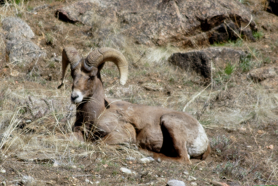
Big Horn Sheep
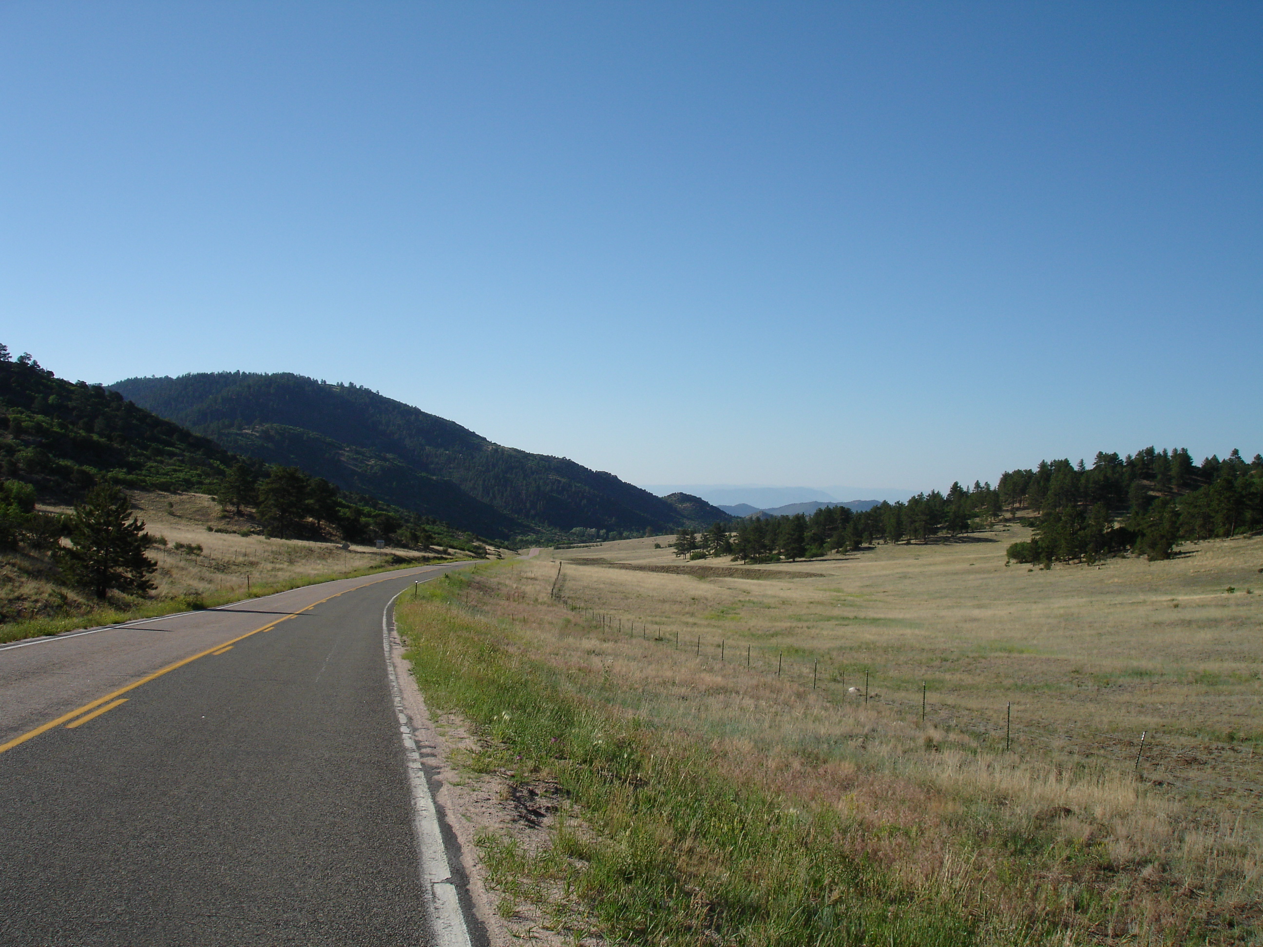
On the Way to Canyon City

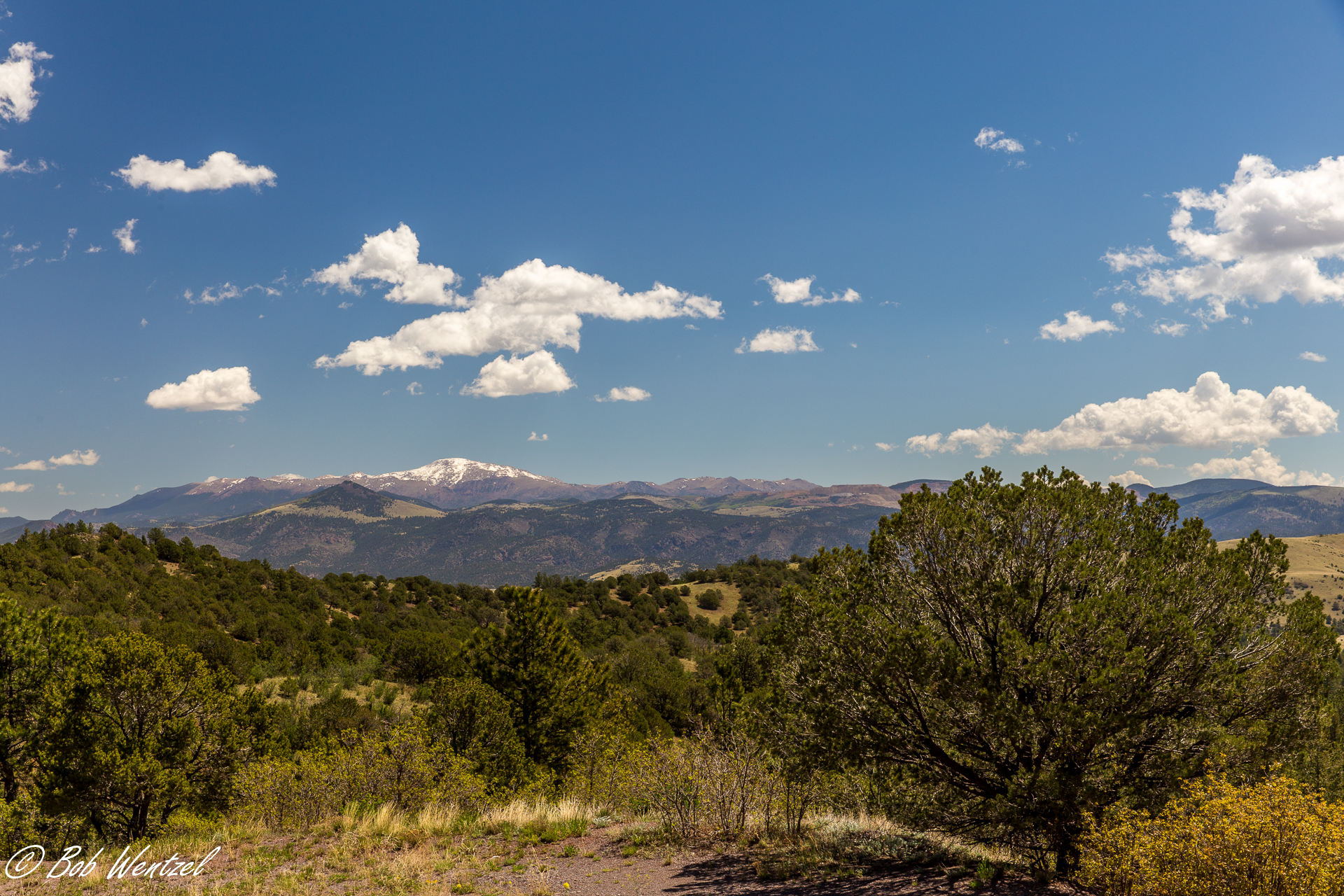
Pikes Peak from the West
20140601-IMG_3560.jpg
Topographic Map of Lowry Ln, Cañon City, CO, USA
Find elevation by address:

Places near Lowry Ln, Cañon City, CO, USA:
1025 Dave Dr
Canyon Court
268 Back Acres
Canyon Tce
1289 S Pine Vista
690 Pine Vista N
Mesa Road
365 Achy Back Ln
3100 Co-9
3100 Co-9
1108 Lowry Ranch Rd
227 Hole In The Wall Rd
604 Lowry Ranch Rd
58 Hole In The Wall Rd
454 Cap Rock Ln
354 Outlaw Ln
2589 Buckhorn Ln
3555 Buckhorn Ln
Deer Park Trail
Deer Park Trail
Recent Searches:
- Elevation of Corso Fratelli Cairoli, 35, Macerata MC, Italy
- Elevation of Tallevast Rd, Sarasota, FL, USA
- Elevation of 4th St E, Sonoma, CA, USA
- Elevation of Black Hollow Rd, Pennsdale, PA, USA
- Elevation of Oakland Ave, Williamsport, PA, USA
- Elevation of Pedrógão Grande, Portugal
- Elevation of Klee Dr, Martinsburg, WV, USA
- Elevation of Via Roma, Pieranica CR, Italy
- Elevation of Tavkvetili Mountain, Georgia
- Elevation of Hartfords Bluff Cir, Mt Pleasant, SC, USA