Elevation of Buckhorn Ln, Cañon City, CO, USA
Location: United States > Colorado > Cañon City >
Longitude: -105.36002
Latitude: 38.6603572
Elevation: 2545m / 8350feet
Barometric Pressure: 74KPa
Elevation Map:
Satellite Map:
Related Photos:

IMG_7109-Edit-Pano.jpg
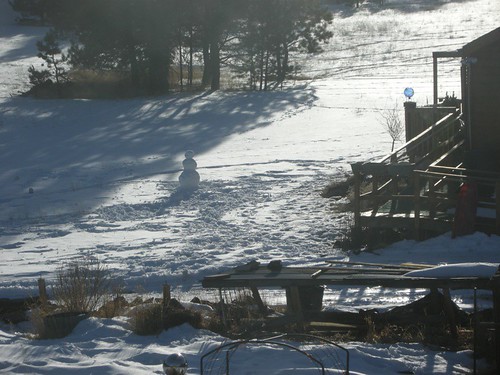
snowman 01.JPG

Viewing Colorado
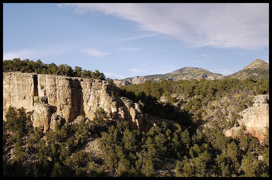
Shelf Road

Twin Mountains
The Bank Snowstorm
Cripple Creek's Window Rock

Shelf Road Diptych II
On the Way to Canyon City
Black eyes and red rocks.
Camping at CH Ranch

Shelf Road's Window Rock
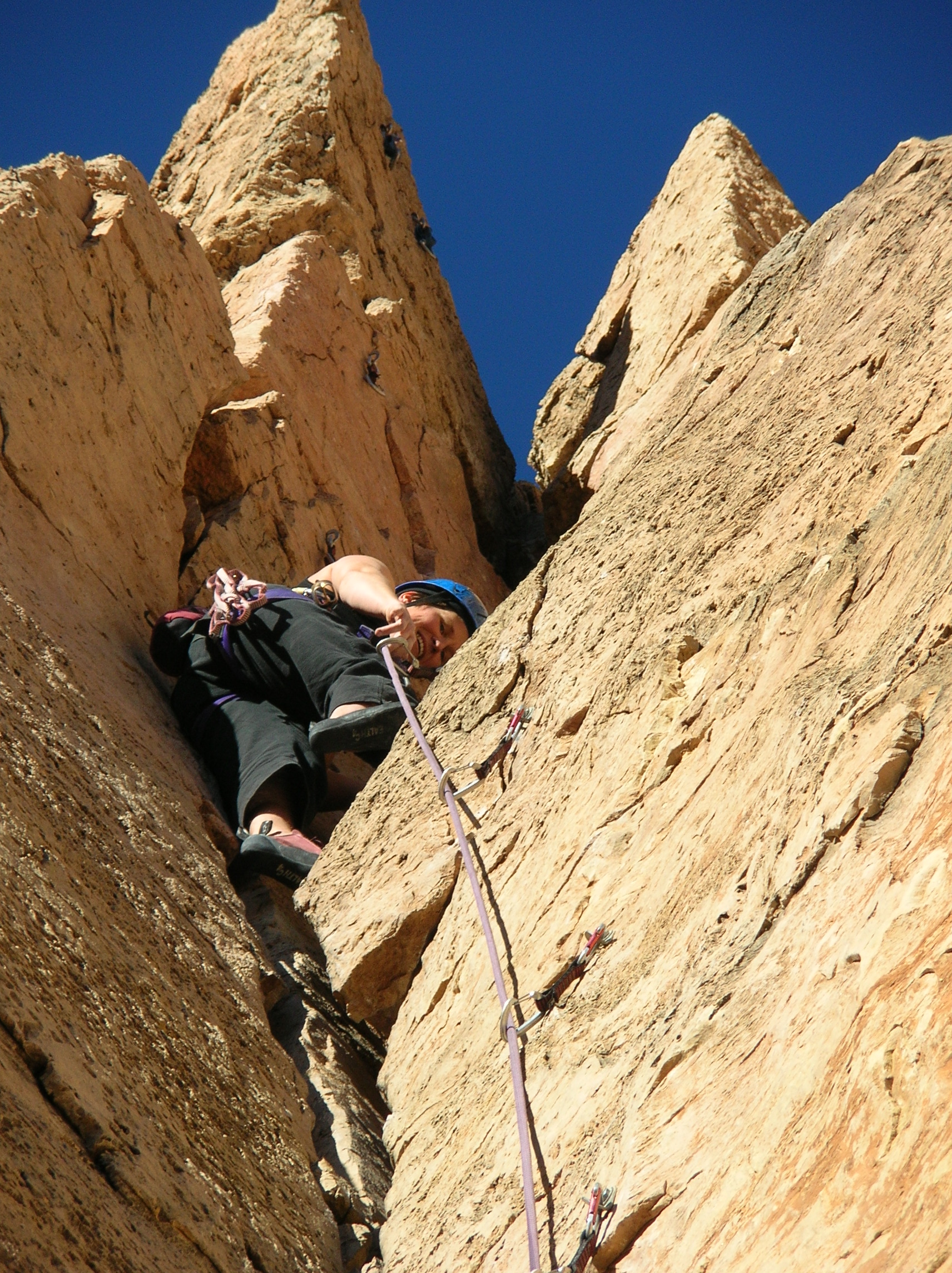
Just Hanging Out
Climbing on the landscape
MD-CRM-0320
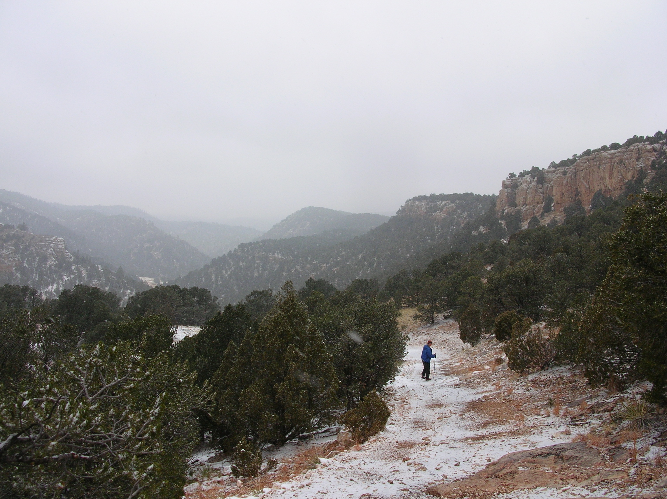
Descent into Sand Gulch
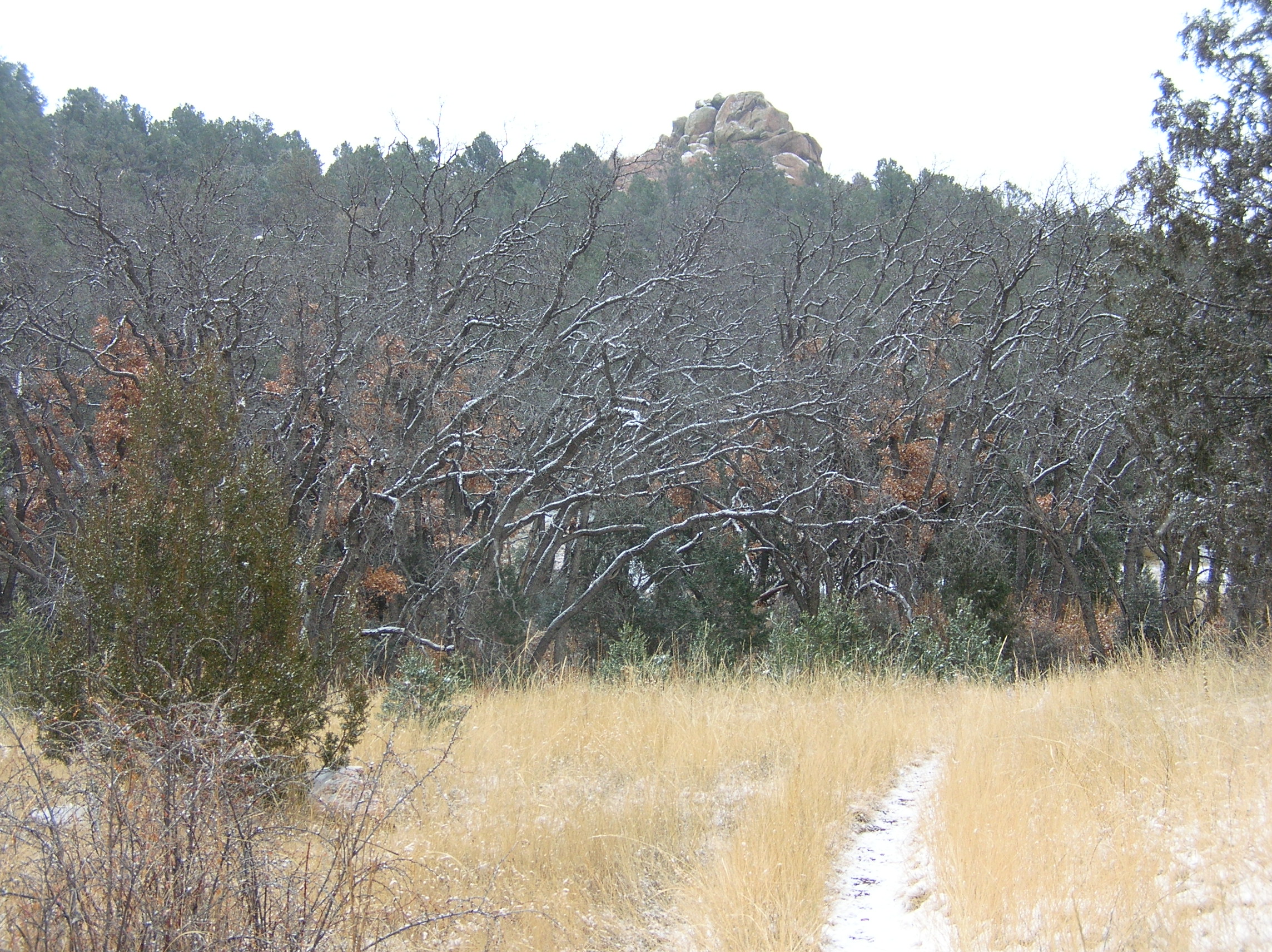
Snowy Oaks
Ann on Crynoid Corner 5.7
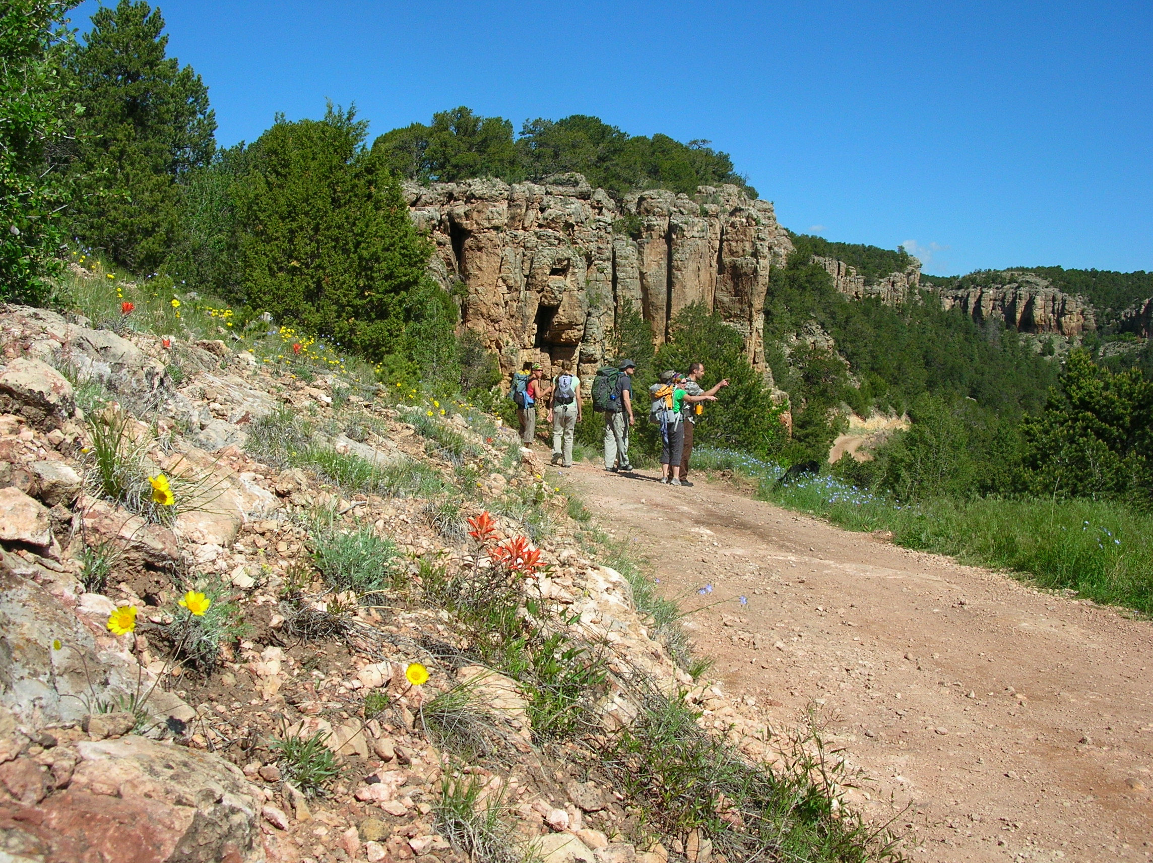
Setting out
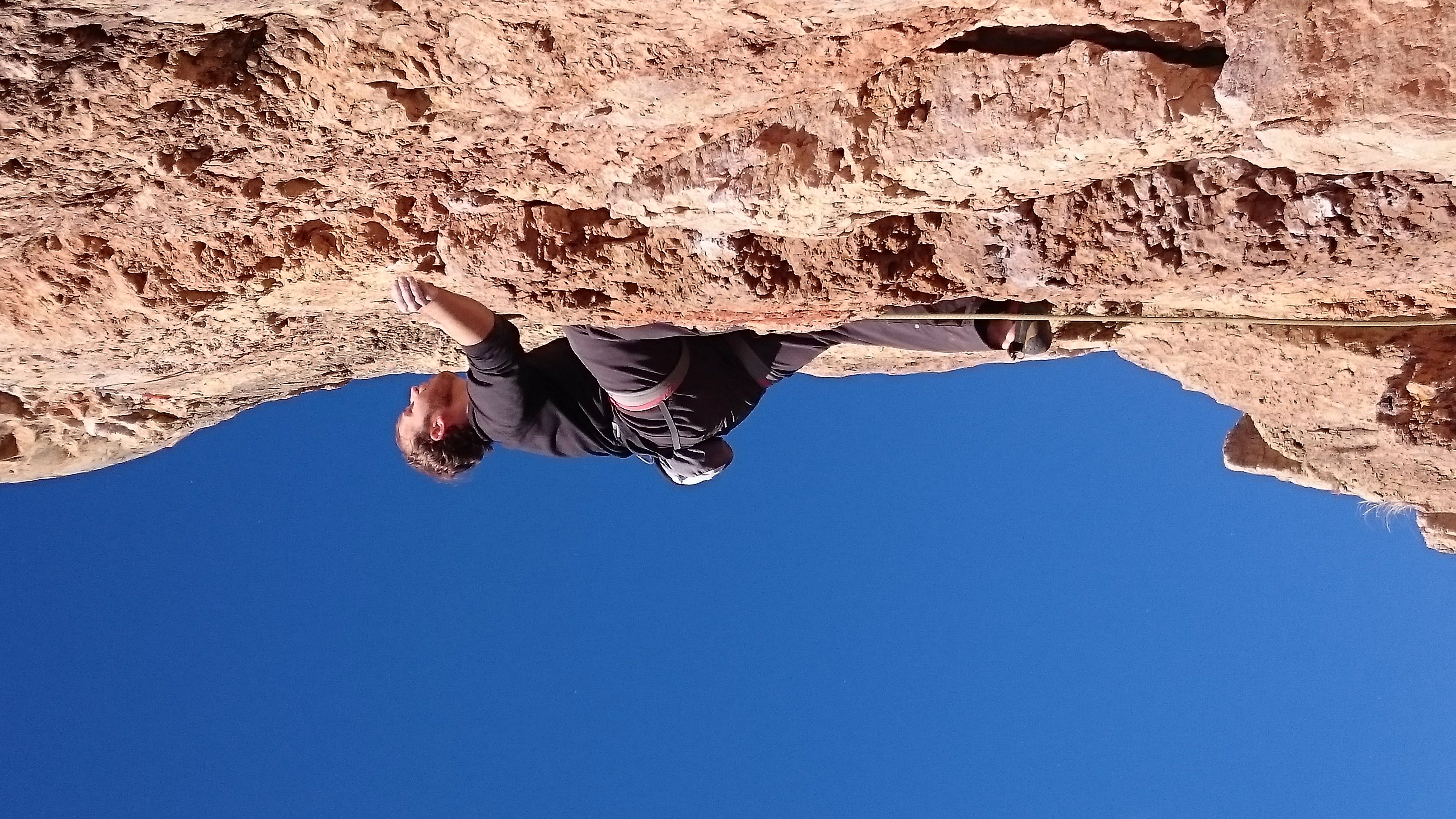
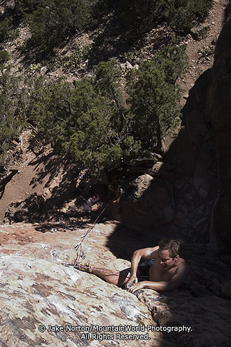
Jared on Pockets (5.11d)
Topographic Map of Buckhorn Ln, Cañon City, CO, USA
Find elevation by address:

Places near Buckhorn Ln, Cañon City, CO, USA:
354 Outlaw Ln
454 Cap Rock Ln
3555 Buckhorn Ln
Deer Park Trail
Deer Park Trail
Big Baldy
365 Achy Back Ln
690 Pine Vista N
Mesa Road
1289 S Pine Vista
10398 State Rd 345a
420 Sunnybrook Trail
2703 Old Crow Path
268 Back Acres
3100 Co-9
3100 Co-9
Canyon Court
Canyon Tce
612 Lowry Ln
Cañon City, CO, USA
Recent Searches:
- Elevation of Corso Fratelli Cairoli, 35, Macerata MC, Italy
- Elevation of Tallevast Rd, Sarasota, FL, USA
- Elevation of 4th St E, Sonoma, CA, USA
- Elevation of Black Hollow Rd, Pennsdale, PA, USA
- Elevation of Oakland Ave, Williamsport, PA, USA
- Elevation of Pedrógão Grande, Portugal
- Elevation of Klee Dr, Martinsburg, WV, USA
- Elevation of Via Roma, Pieranica CR, Italy
- Elevation of Tavkvetili Mountain, Georgia
- Elevation of Hartfords Bluff Cir, Mt Pleasant, SC, USA