Elevation of Achy Back Ln, Cañon City, CO, USA
Location: United States > Colorado > Cañon City >
Longitude: -105.41266
Latitude: 38.6528159
Elevation: 2568m / 8425feet
Barometric Pressure: 74KPa
Elevation Map:
Satellite Map:
Related Photos:

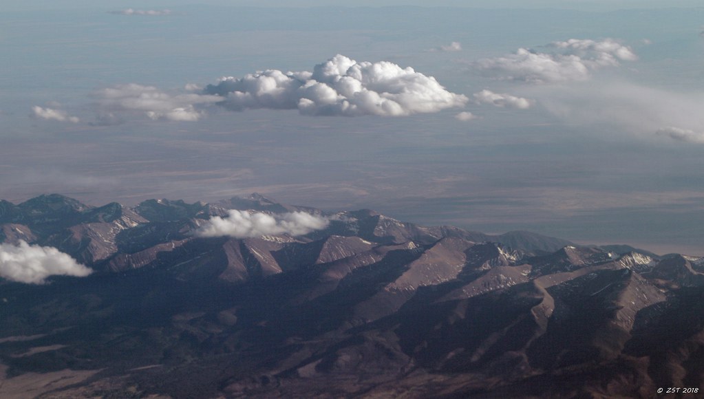
Viewing Colorado
Twin Mountains
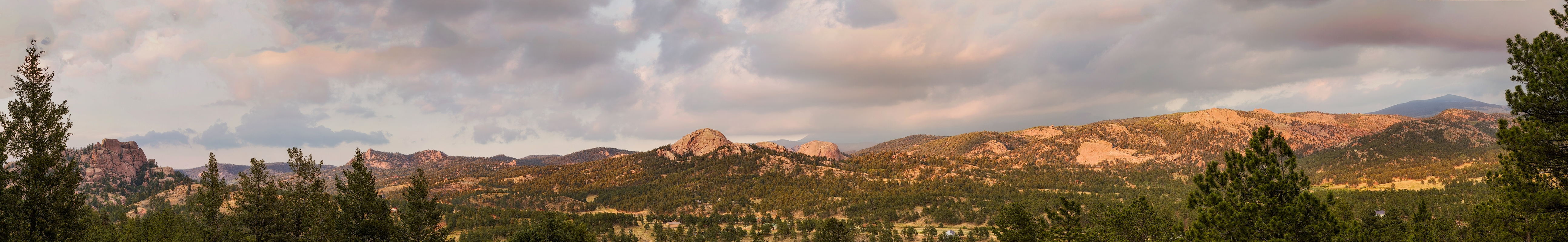
IMG_7109-Edit-Pano.jpg

Shelf Road

snowman 01.JPG

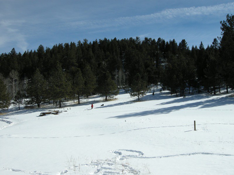
sledding 36.JPG

RED ROCKS

Mark leading Times Square (5.8)

Horse Shoe Bend, au bord du Colorado, à Page (près du lac Powell), États-Unis

THE POOL

Snowy Oaks

Descent into Sand Gulch

20140601-IMG_3560.jpg

Doug on lead

Red Canyon Panorama
sledding 05.JPG

On the Way to Canyon City
Topographic Map of Achy Back Ln, Cañon City, CO, USA
Find elevation by address:

Places near Achy Back Ln, Cañon City, CO, USA:
Mesa Road
690 Pine Vista N
1289 S Pine Vista
454 Cap Rock Ln
2589 Buckhorn Ln
354 Outlaw Ln
3555 Buckhorn Ln
268 Back Acres
612 Lowry Ln
Canyon Court
1025 Dave Dr
Canyon Tce
Deer Park Trail
Deer Park Trail
3100 Co-9
3100 Co-9
Big Baldy
10398 State Rd 345a
227 Hole In The Wall Rd
2703 Old Crow Path
Recent Searches:
- Elevation of Corso Fratelli Cairoli, 35, Macerata MC, Italy
- Elevation of Tallevast Rd, Sarasota, FL, USA
- Elevation of 4th St E, Sonoma, CA, USA
- Elevation of Black Hollow Rd, Pennsdale, PA, USA
- Elevation of Oakland Ave, Williamsport, PA, USA
- Elevation of Pedrógão Grande, Portugal
- Elevation of Klee Dr, Martinsburg, WV, USA
- Elevation of Via Roma, Pieranica CR, Italy
- Elevation of Tavkvetili Mountain, Georgia
- Elevation of Hartfords Bluff Cir, Mt Pleasant, SC, USA