Elevation of Lorraine, KS, USA
Location: United States > Kansas > Ellsworth County > Green Garden >
Longitude: -98.3167294
Latitude: 38.5688989
Elevation: 546m / 1791feet
Barometric Pressure: 0KPa
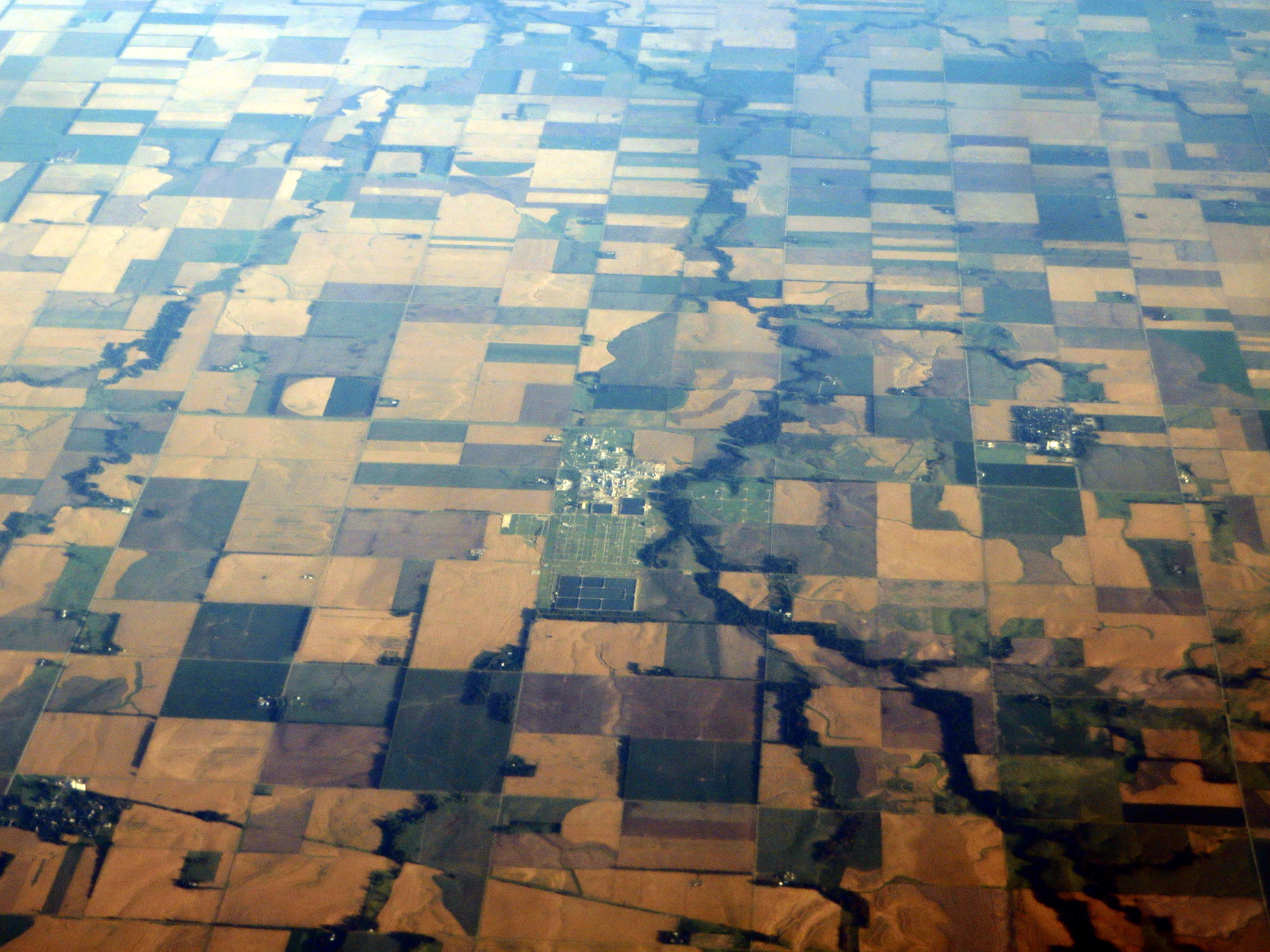
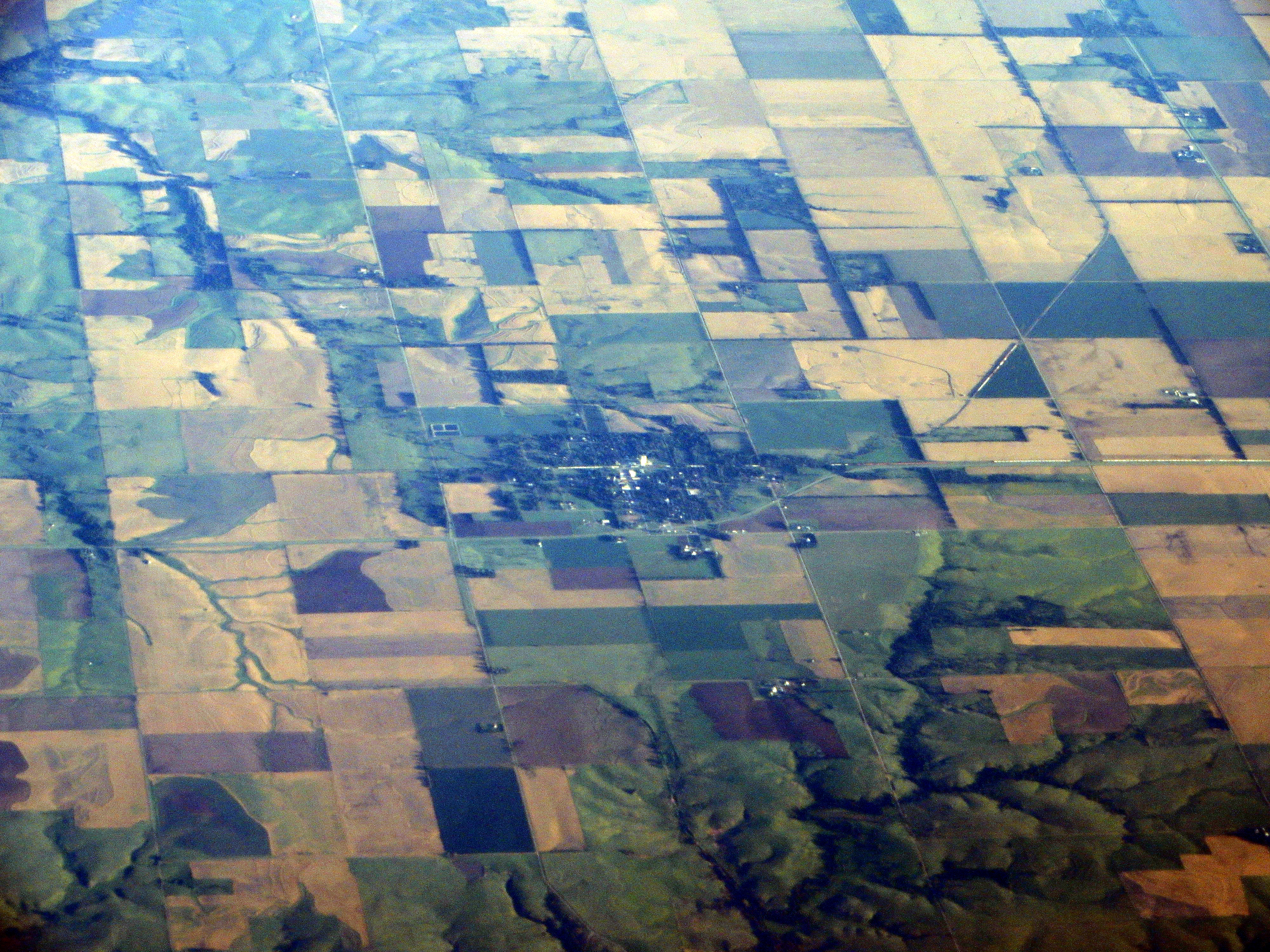
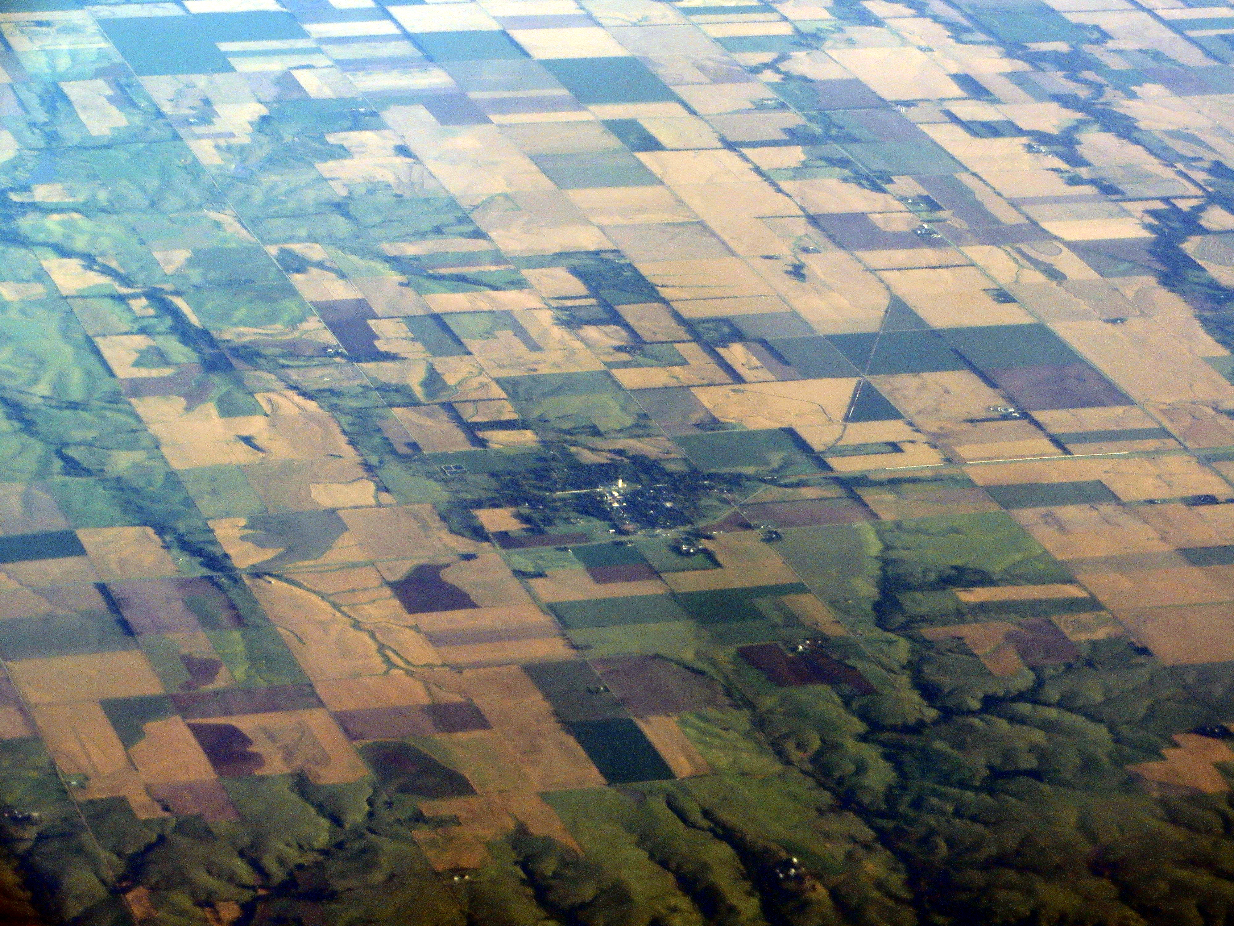
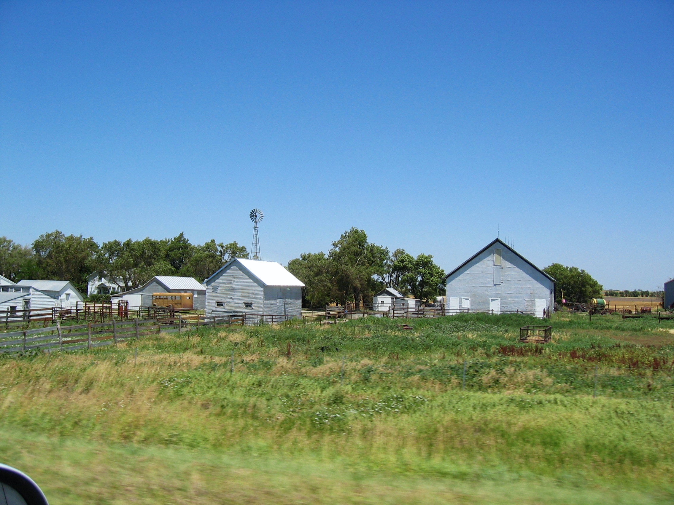
Related Photos:

Lake Homestead

Enjoying the view

Enjoying the view
Late Afternoon Light

Into the Wild
Coming Home
Silent Farm
Frederick Garage
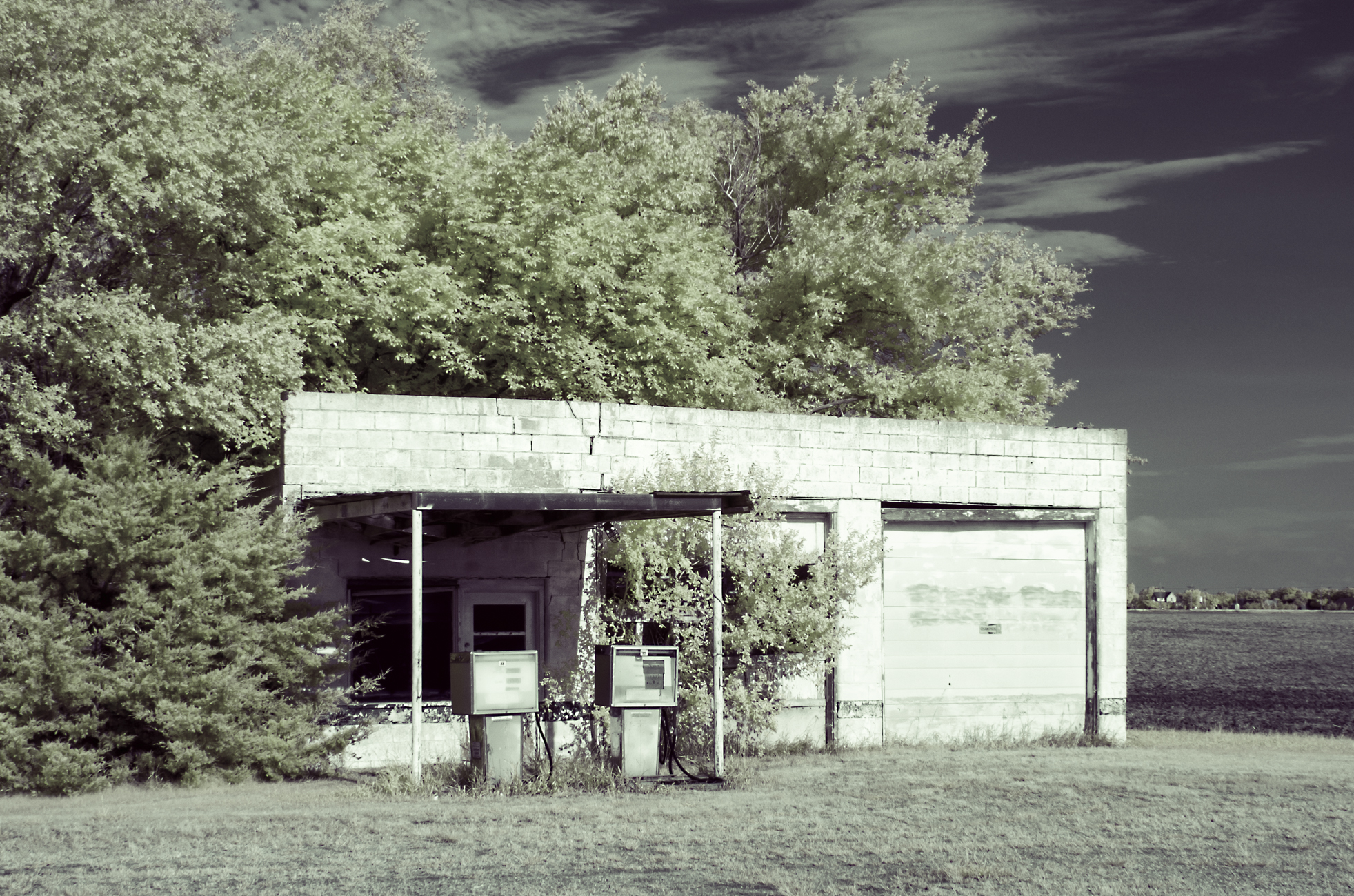
Bushton Garage

Moonglow #79: 34 Whiskers, 5 Toes and Blondie - Holyrood, Kansas

Welcome to Holyrood
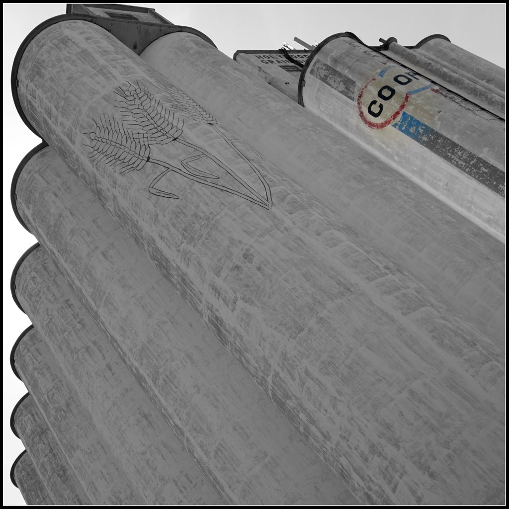
Hollyrod Grain Elevator
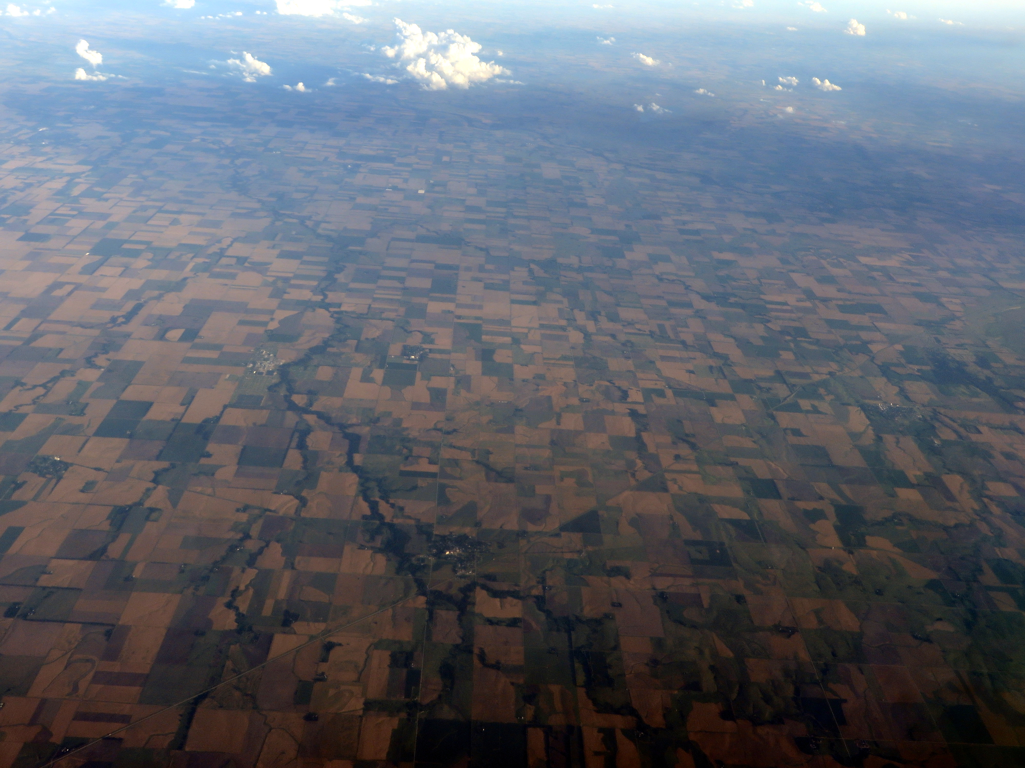
Bushton and Holyrood, Kansas
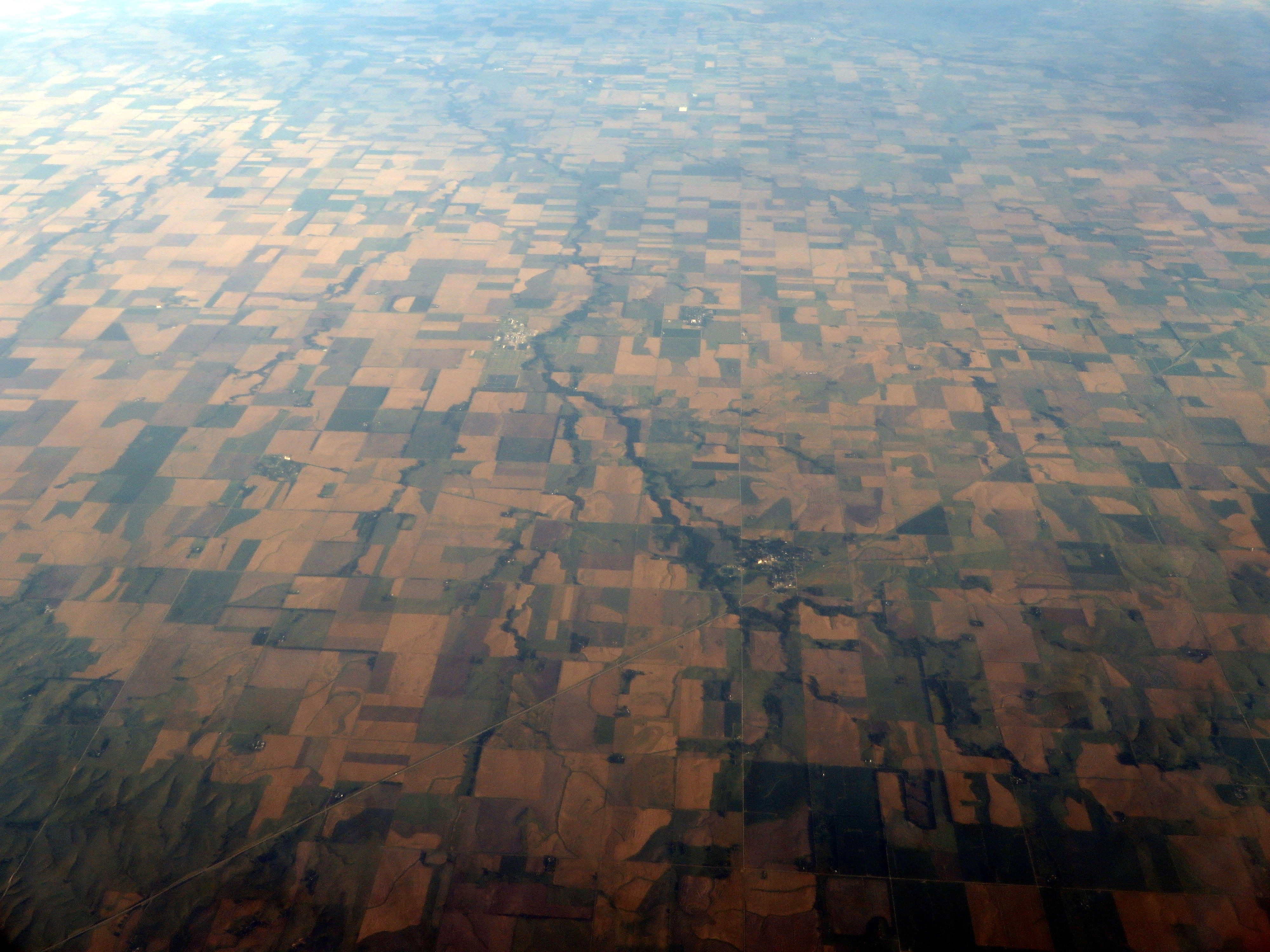
Bushton and Holyrood, Kansas
Bushton, Kansas
Geneseo, Kansas
Geneseo, Kansas

Bruce and Margo Johnson
2003-07-06 at 01-38-13 - IMG_0062

2003-07-06 at 05-30-14 - IMG_0066

2003-07-06 at 08-32-35 - IMG_0067

2003-07-31 at 03-02-48 - IMG_0239

2003-07-31 at 03-04-16 - IMG_0242
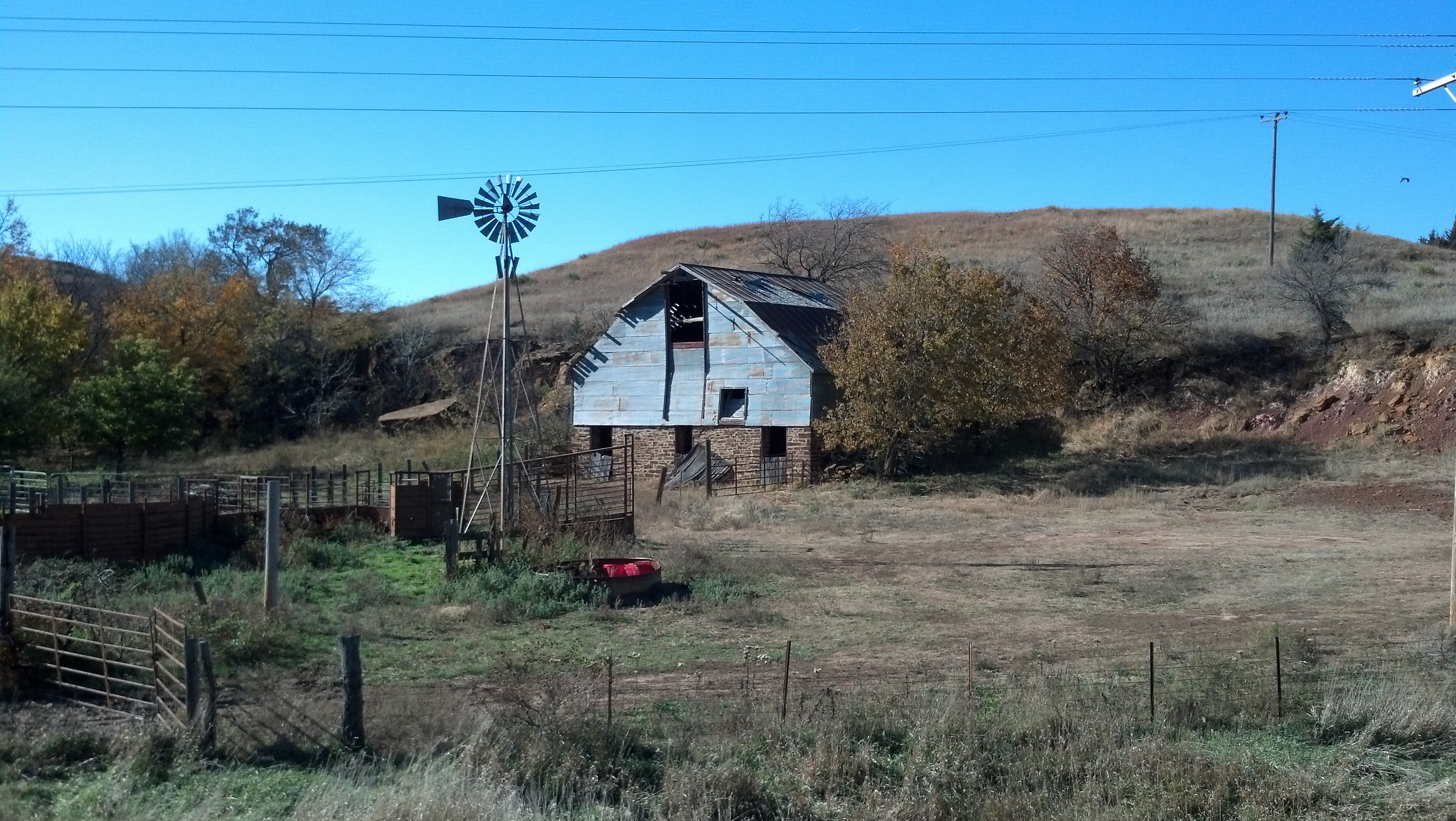
Old rock barn

Wilson Lake
Topographic Map of Lorraine, KS, USA
Find elevation by address:

Places in Lorraine, KS, USA:
Places near Lorraine, KS, USA:
Wichita Ave, Lorraine, KS, USA
Green Garden
E Santa Fe Ave, Holyrood, KS, USA
Holyrood
S 2nd St, Bushton, KS, USA
Bushton
Valley
Ellsworth County
Farmer
Victoria
Geneseo
Main St, Geneseo, KS, USA
201 N Evans St
201 N Evans St
Ellsworth
Kanopolis
E A St, Kanopolis, KS, USA
Lyons
Mitchell
Wilson
Recent Searches:
- Elevation of Window Rock, Colfax County, New Mexico, 87714, USA
- Elevation of 4807, Rosecroft Street, Kempsville Gardens, Virginia Beach, Virginia, 23464, USA
- Elevation map of Matawinie, Quebec, Canada
- Elevation of Sainte-Émélie-de-l'Énergie, Matawinie, Quebec, Canada
- Elevation of Rue du Pont, Sainte-Émélie-de-l'Énergie, Matawinie, Quebec, J0K2K0, Canada
- Elevation of 8, Rue de Bécancour, Blainville, Thérèse-De Blainville, Quebec, J7B1N2, Canada
- Elevation of Wilmot Court North, 163, University Avenue West, Northdale, Waterloo, Region of Waterloo, Ontario, N2L6B6, Canada
- Elevation map of Panamá Province, Panama
- Elevation of Balboa, Panamá Province, Panama
- Elevation of San Miguel, Balboa, Panamá Province, Panama
- Elevation of Isla Gibraleón, San Miguel, Balboa, Panamá Province, Panama
- Elevation of 4655, Krischke Road, Schulenburg, Fayette County, Texas, 78956, USA
- Elevation of Carnegie Avenue, Downtown Cleveland, Cleveland, Cuyahoga County, Ohio, 44115, USA
- Elevation of Walhonding, Coshocton County, Ohio, USA
- Elevation of Clifton Down, Clifton, Bristol, City of Bristol, England, BS8 3HU, United Kingdom
- Elevation map of Auvergne-Rhône-Alpes, France
- Elevation map of Upper Savoy, Auvergne-Rhône-Alpes, France
- Elevation of Chamonix-Mont-Blanc, Upper Savoy, Auvergne-Rhône-Alpes, France
- Elevation of 908, Northwood Drive, Bridge Field, Chesapeake, Virginia, 23322, USA
- Elevation map of Nagano Prefecture, Japan