Elevation of Ellsworth, KS, USA
Location: United States > Kansas > Ellsworth County >
Longitude: -98.1884949
Latitude: 38.7320782
Elevation: 489m / 1604feet
Barometric Pressure: 0KPa
Related Photos:
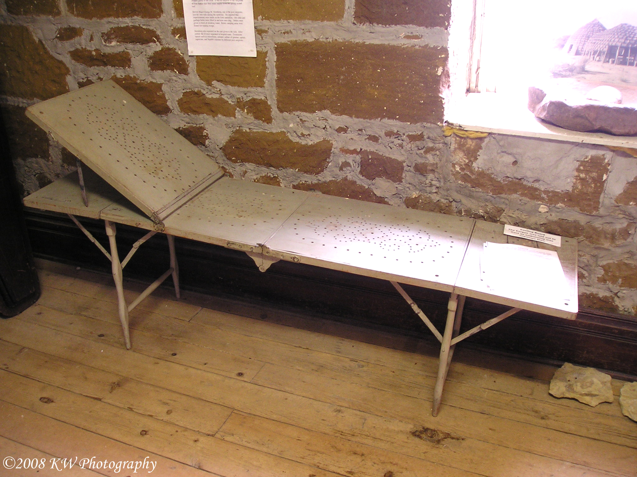
Cooling Table
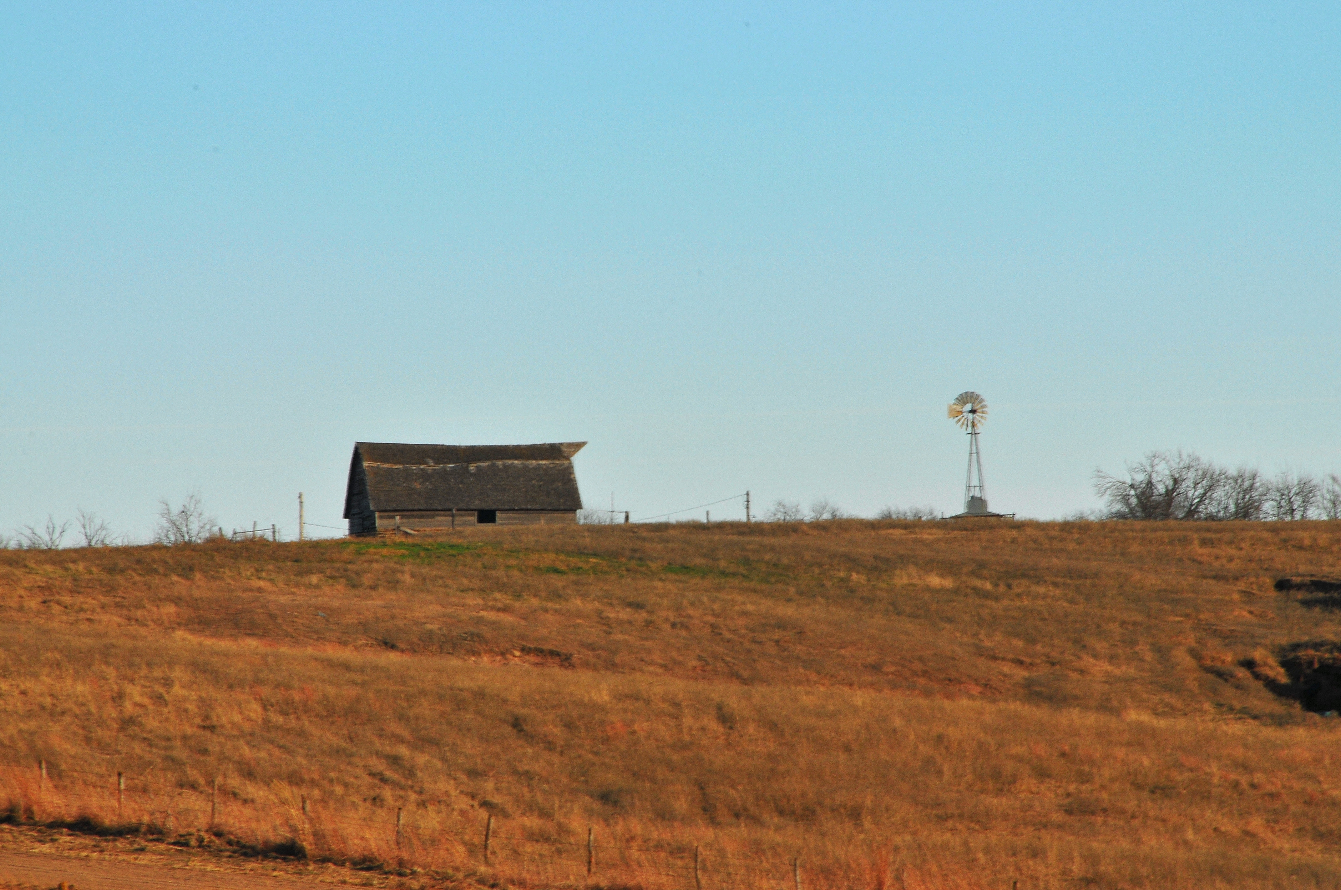
The View Behind The Rest Stop

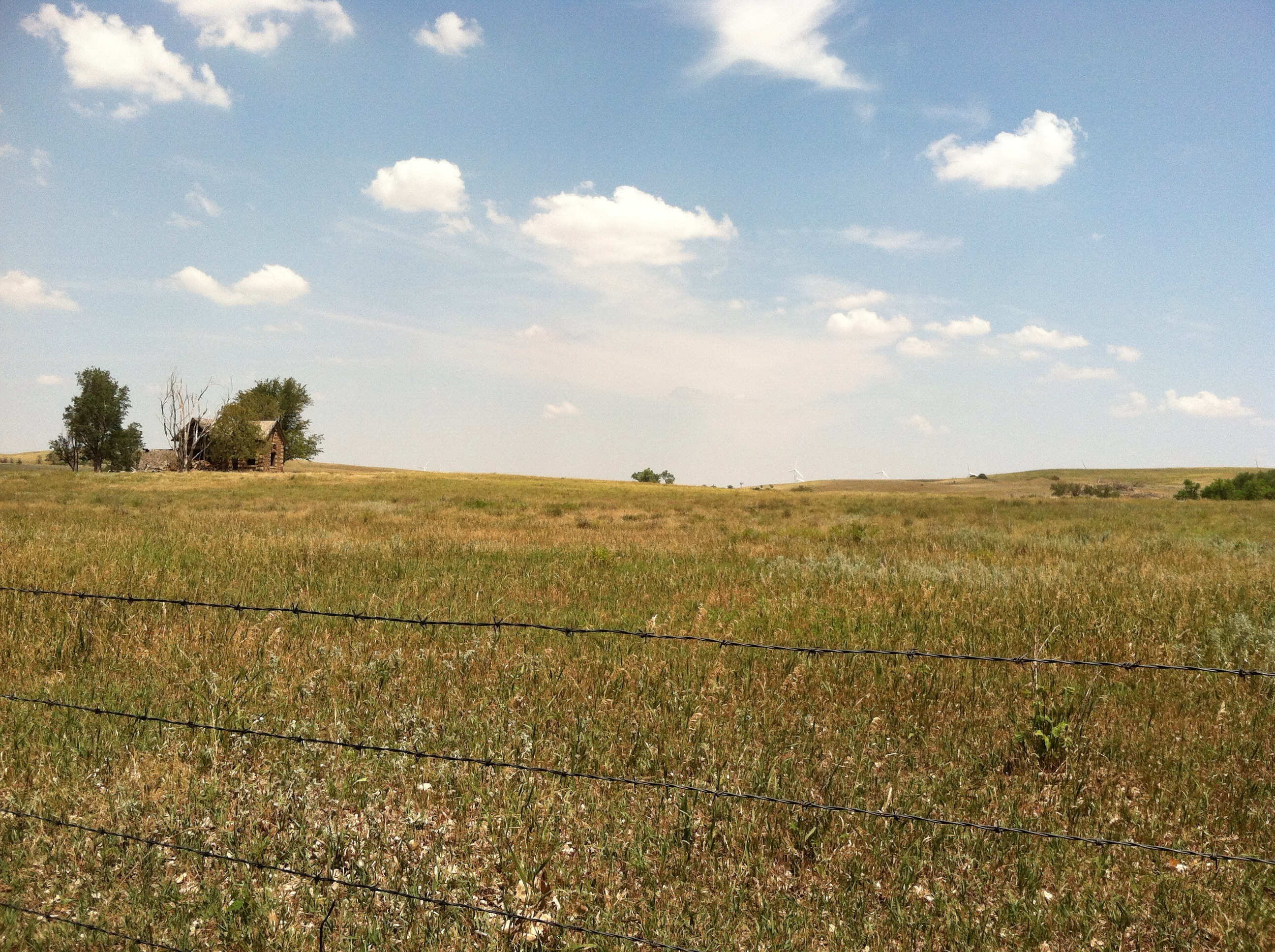
Another view of Kansas

Camera Roll-733

Camera Roll-732

Work Drugs on Tour - 2011

Camera Roll-734
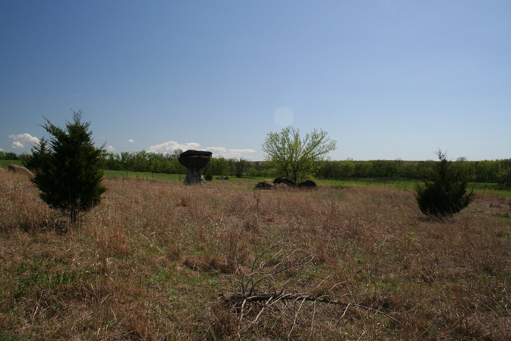
Around Mushroom Rock SP

Mushroom Rock

Mushroom Rock State Park
Mushroom Rock SP

Gravel road
Around Mushroom Rock SP
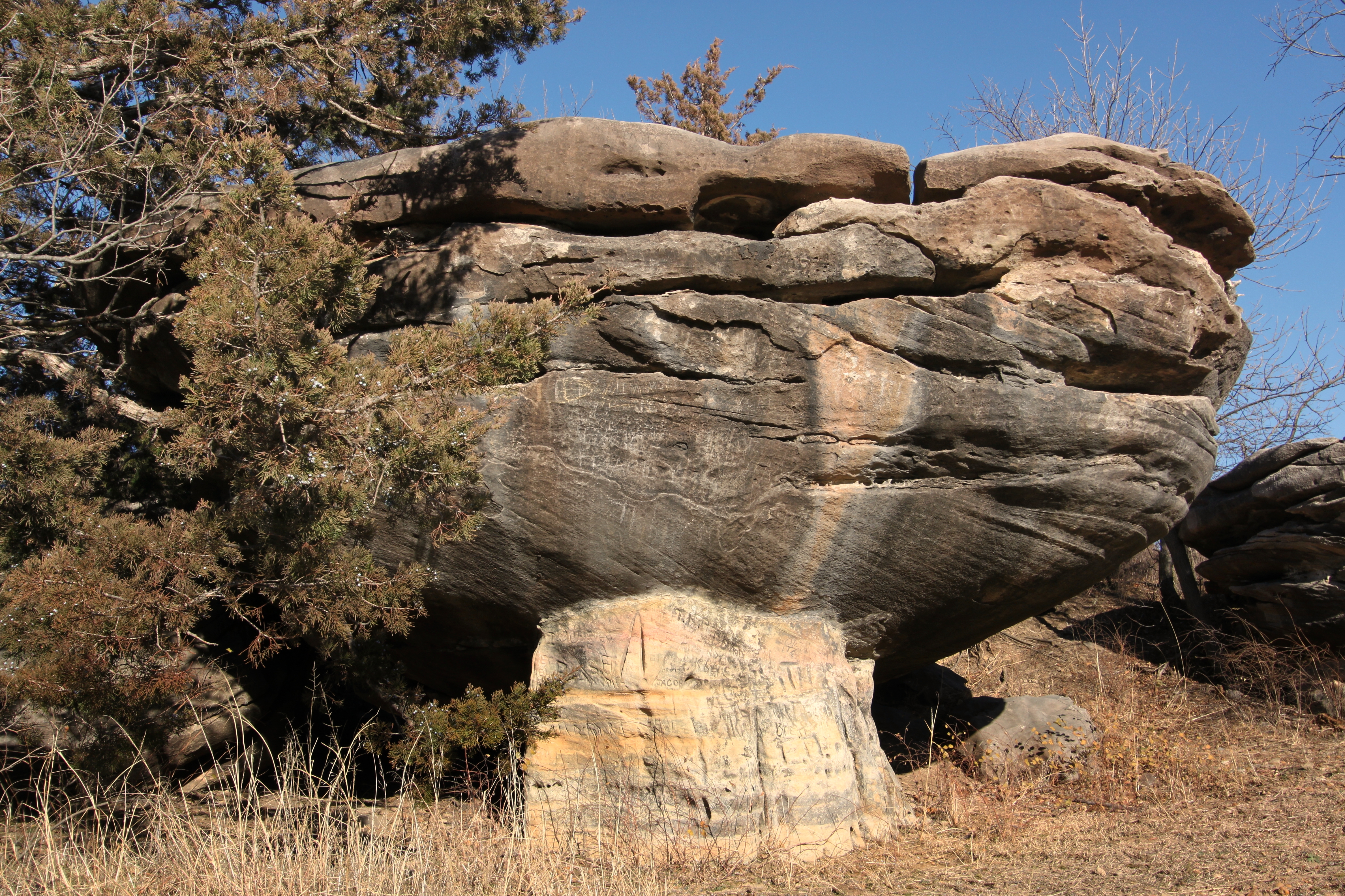
Squatty Fat Mushroom
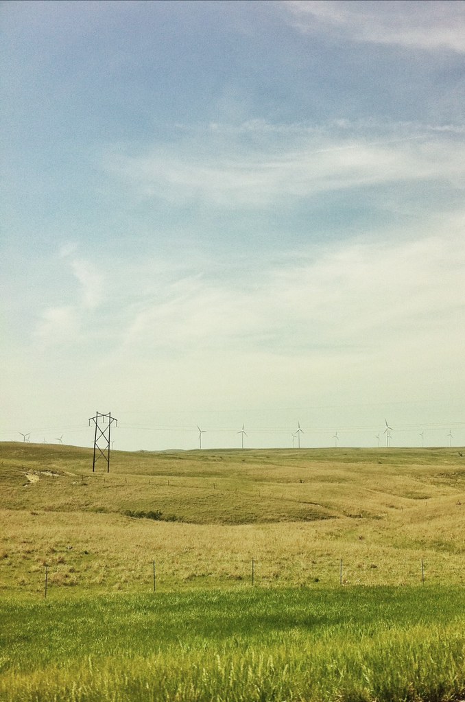
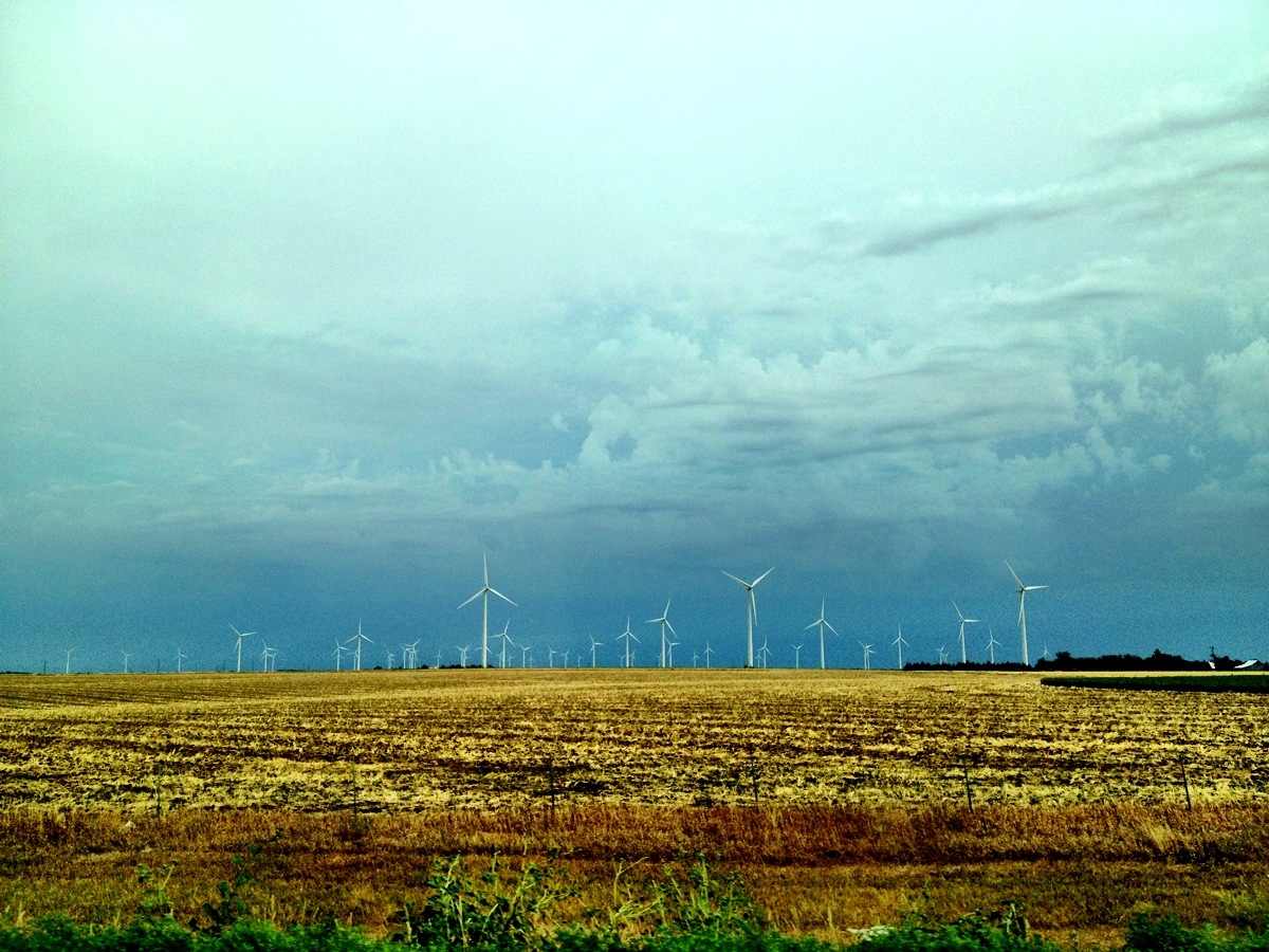
Green Future Is Still Far
IMG_8752.JPG

Production and distribution of green energy
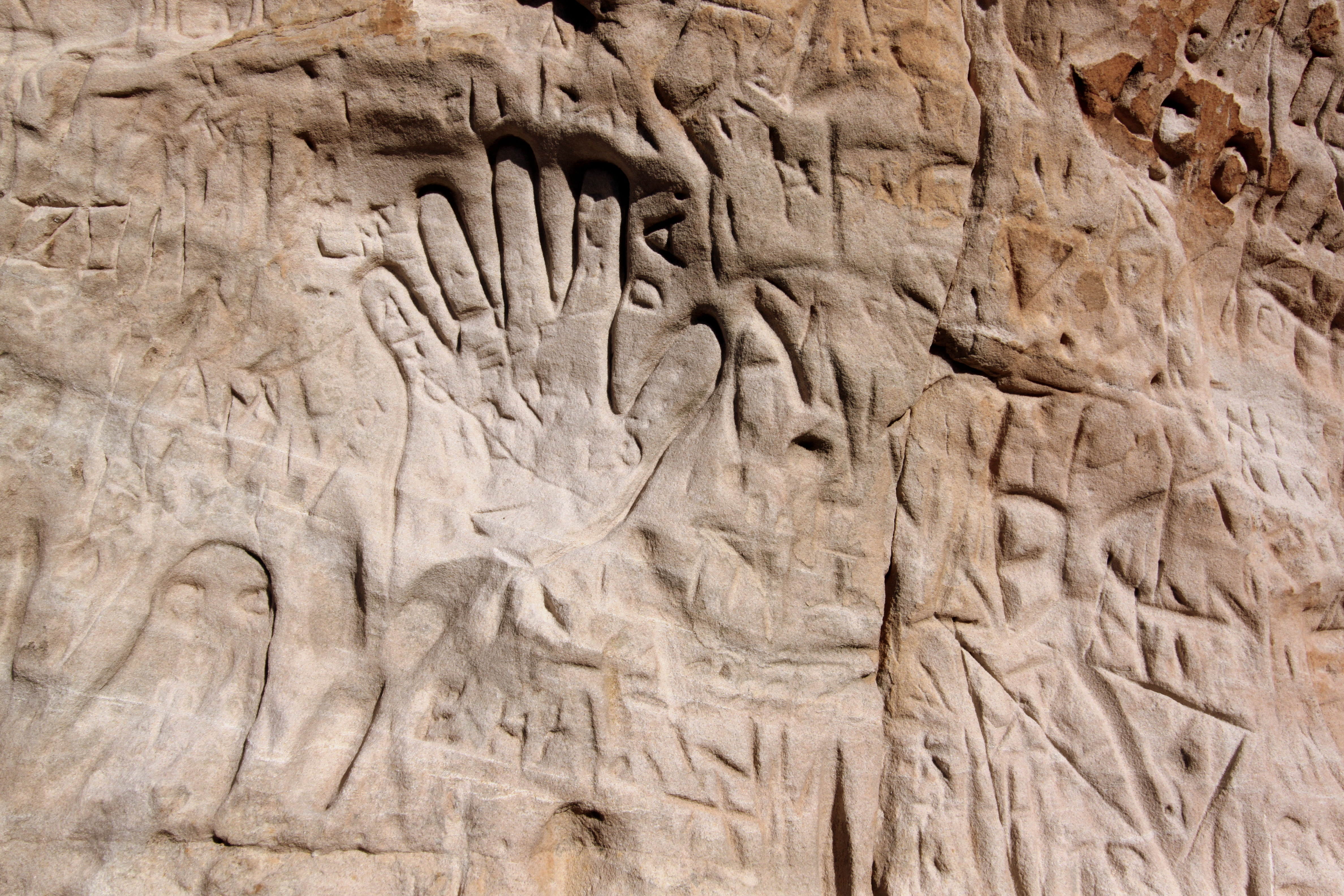
Confluent Graffiti
Mushroom Rocks State Park
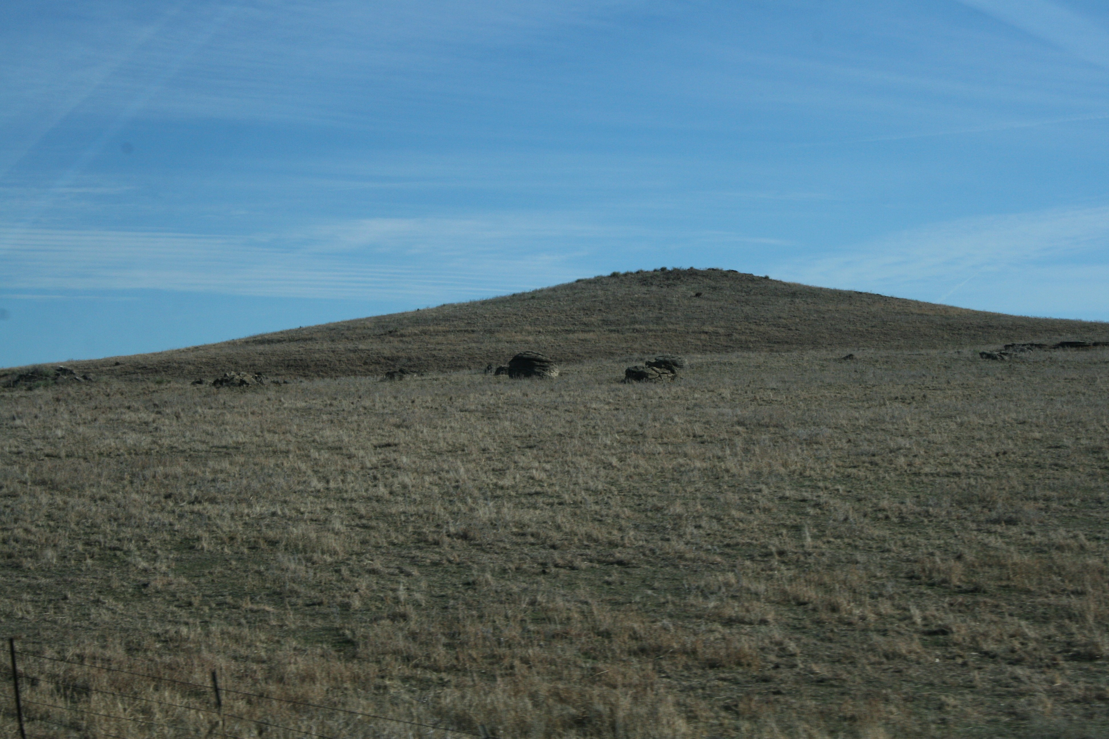
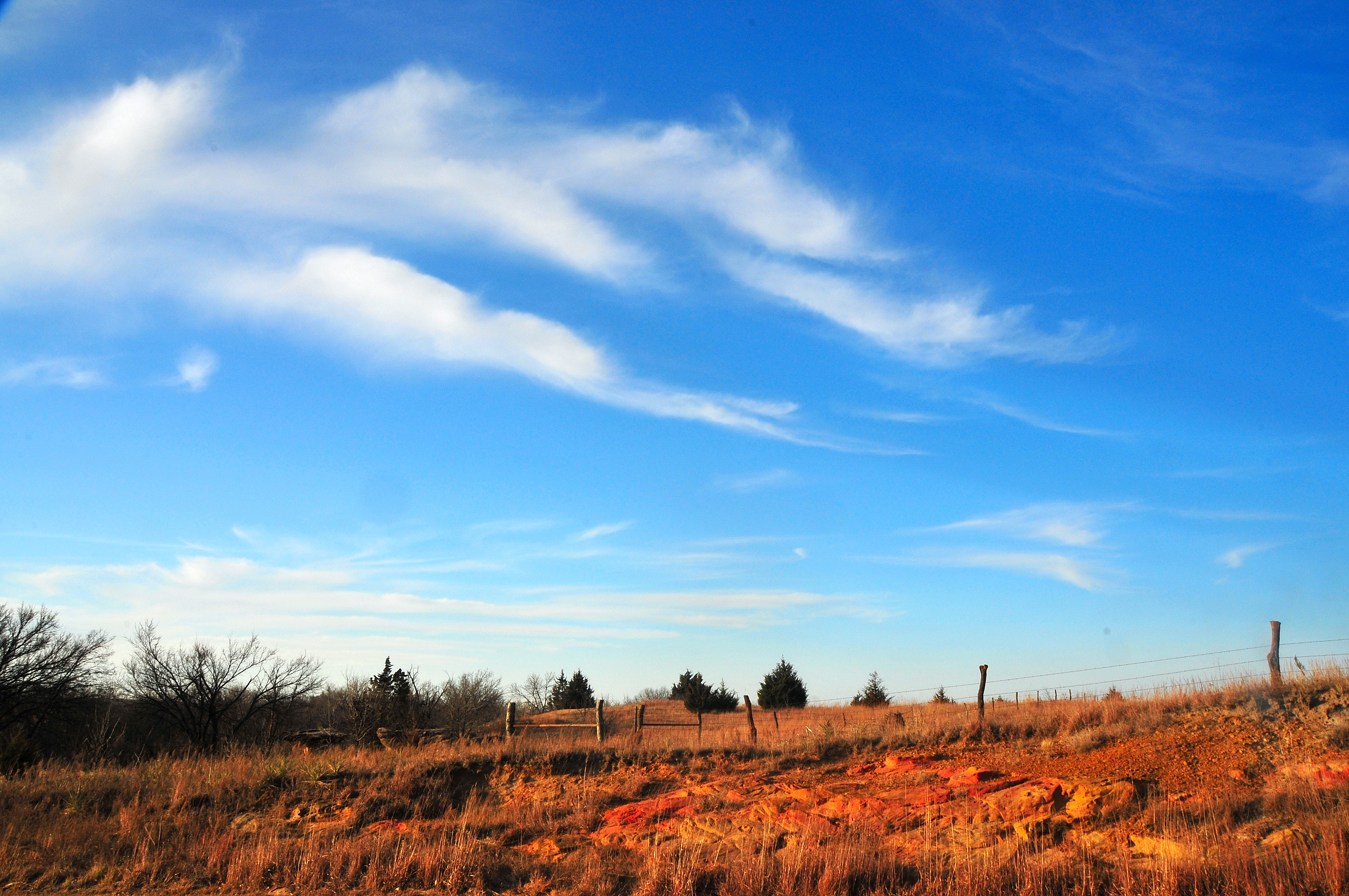
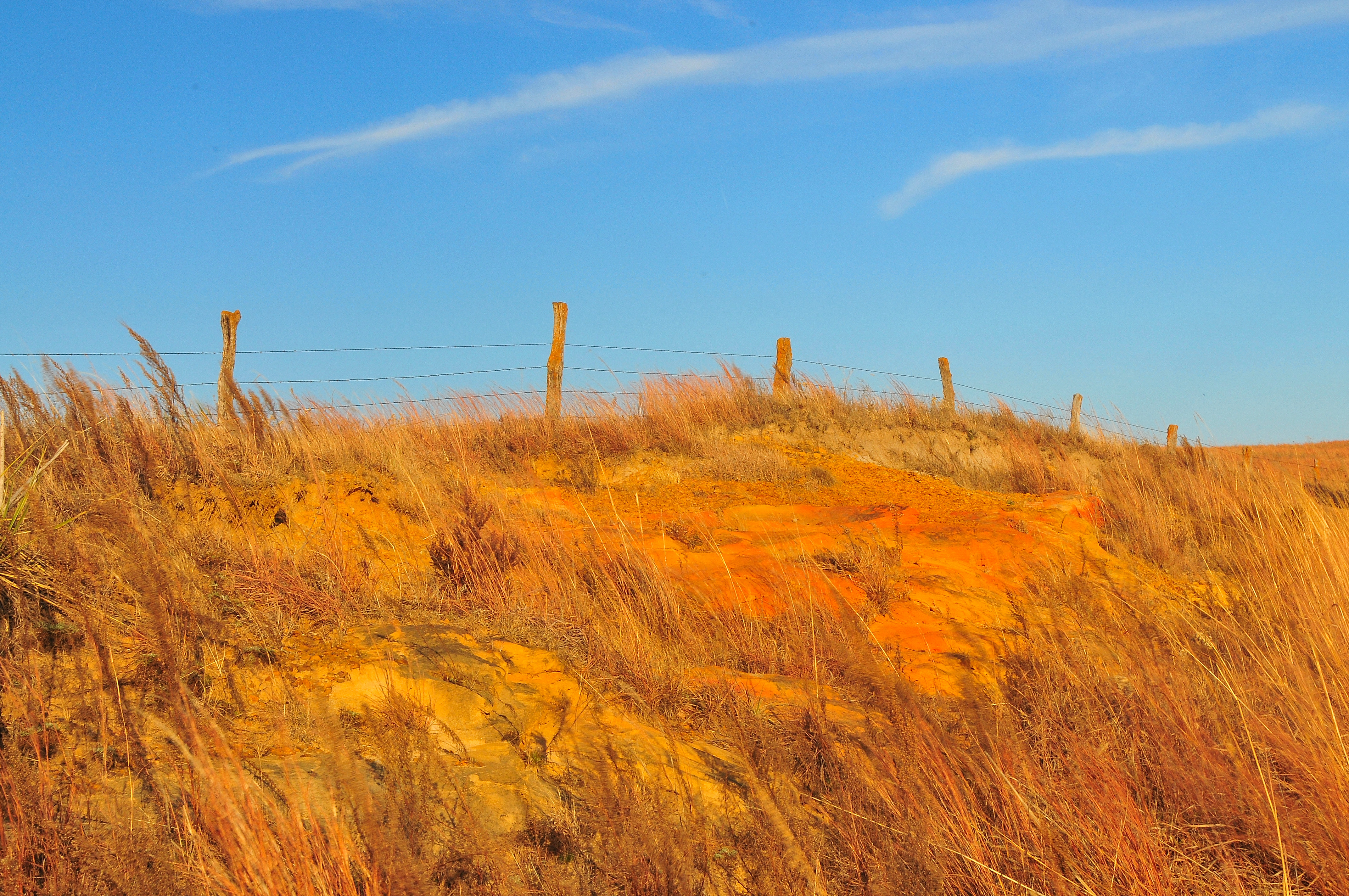
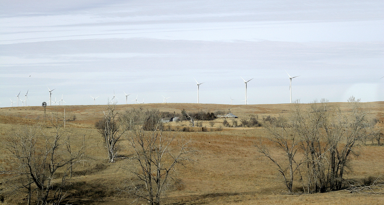
The eastern edge of the High Plains

the bigger mushroom rock

Camera Roll-736
Camera Roll-735
Topographic Map of Ellsworth, KS, USA
Find elevation by address:

Places in Ellsworth, KS, USA:
Places near Ellsworth, KS, USA:
201 N Evans St
201 N Evans St
Kanopolis
E A St, Kanopolis, KS, USA
Ellsworth County
Mushroom Rock State Park
Empire
Carneiro
Lorraine
Wichita Ave, Lorraine, KS, USA
Geneseo
Main St, Geneseo, KS, USA
1 Sunflower Ln, Marquette, KS, USA
Green Garden
Wilson
Victoria
Langley
Main St, Beverly, KS, USA
E Santa Fe Ave, Holyrood, KS, USA
Holyrood
Recent Searches:
- Elevation of 116, Beartown Road, Underhill, Chittenden County, Vermont, 05489, USA
- Elevation of Window Rock, Colfax County, New Mexico, 87714, USA
- Elevation of 4807, Rosecroft Street, Kempsville Gardens, Virginia Beach, Virginia, 23464, USA
- Elevation map of Matawinie, Quebec, Canada
- Elevation of Sainte-Émélie-de-l'Énergie, Matawinie, Quebec, Canada
- Elevation of Rue du Pont, Sainte-Émélie-de-l'Énergie, Matawinie, Quebec, J0K2K0, Canada
- Elevation of 8, Rue de Bécancour, Blainville, Thérèse-De Blainville, Quebec, J7B1N2, Canada
- Elevation of Wilmot Court North, 163, University Avenue West, Northdale, Waterloo, Region of Waterloo, Ontario, N2L6B6, Canada
- Elevation map of Panamá Province, Panama
- Elevation of Balboa, Panamá Province, Panama
- Elevation of San Miguel, Balboa, Panamá Province, Panama
- Elevation of Isla Gibraleón, San Miguel, Balboa, Panamá Province, Panama
- Elevation of 4655, Krischke Road, Schulenburg, Fayette County, Texas, 78956, USA
- Elevation of Carnegie Avenue, Downtown Cleveland, Cleveland, Cuyahoga County, Ohio, 44115, USA
- Elevation of Walhonding, Coshocton County, Ohio, USA
- Elevation of Clifton Down, Clifton, Bristol, City of Bristol, England, BS8 3HU, United Kingdom
- Elevation map of Auvergne-Rhône-Alpes, France
- Elevation map of Upper Savoy, Auvergne-Rhône-Alpes, France
- Elevation of Chamonix-Mont-Blanc, Upper Savoy, Auvergne-Rhône-Alpes, France
- Elevation of 908, Northwood Drive, Bridge Field, Chesapeake, Virginia, 23322, USA