Elevation of Green Garden, KS, USA
Location: United States > Kansas > Ellsworth County >
Longitude: -98.330746
Latitude: 38.5449027
Elevation: 540m / 1772feet
Barometric Pressure: 95KPa
Elevation Map:
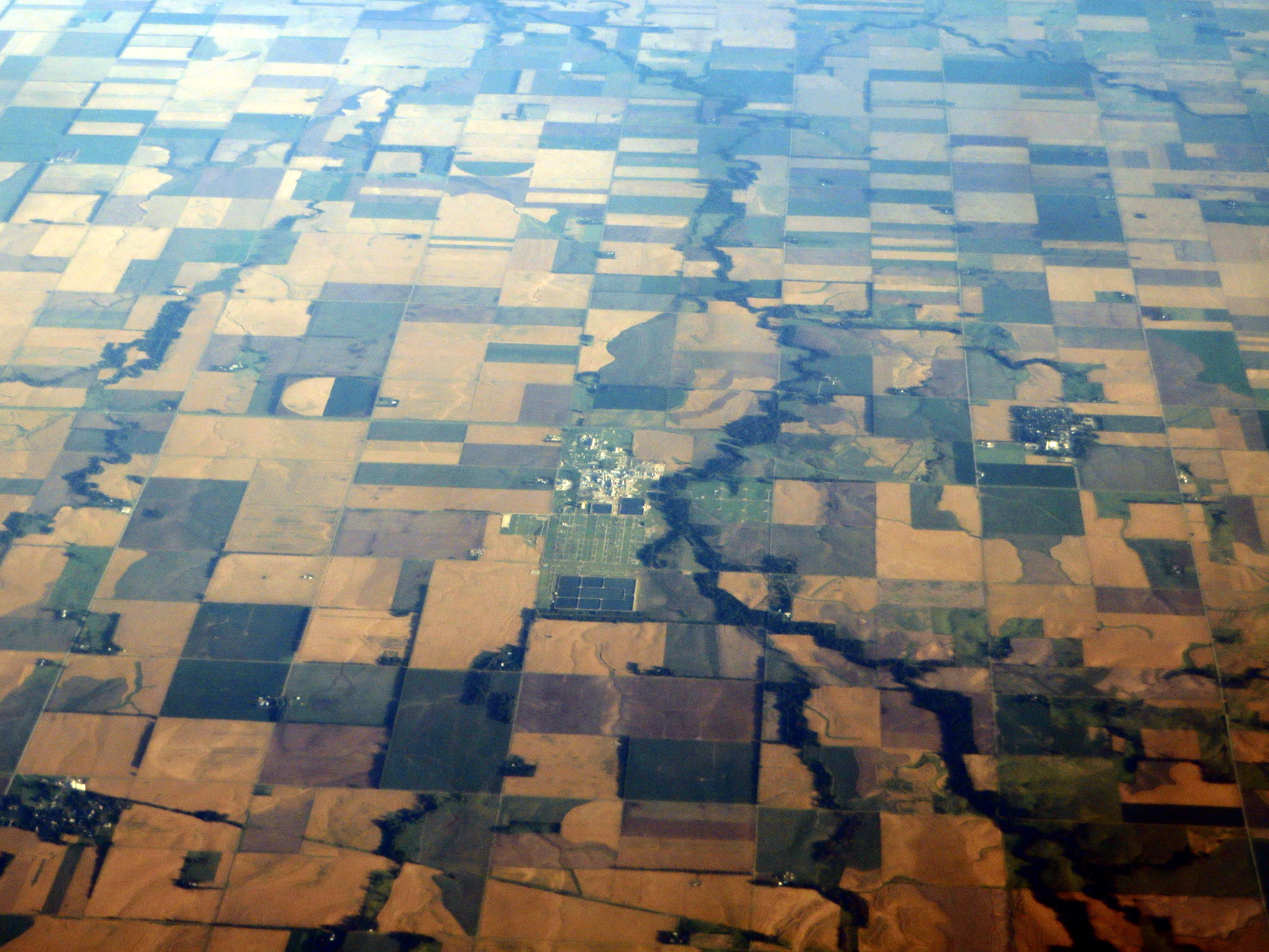
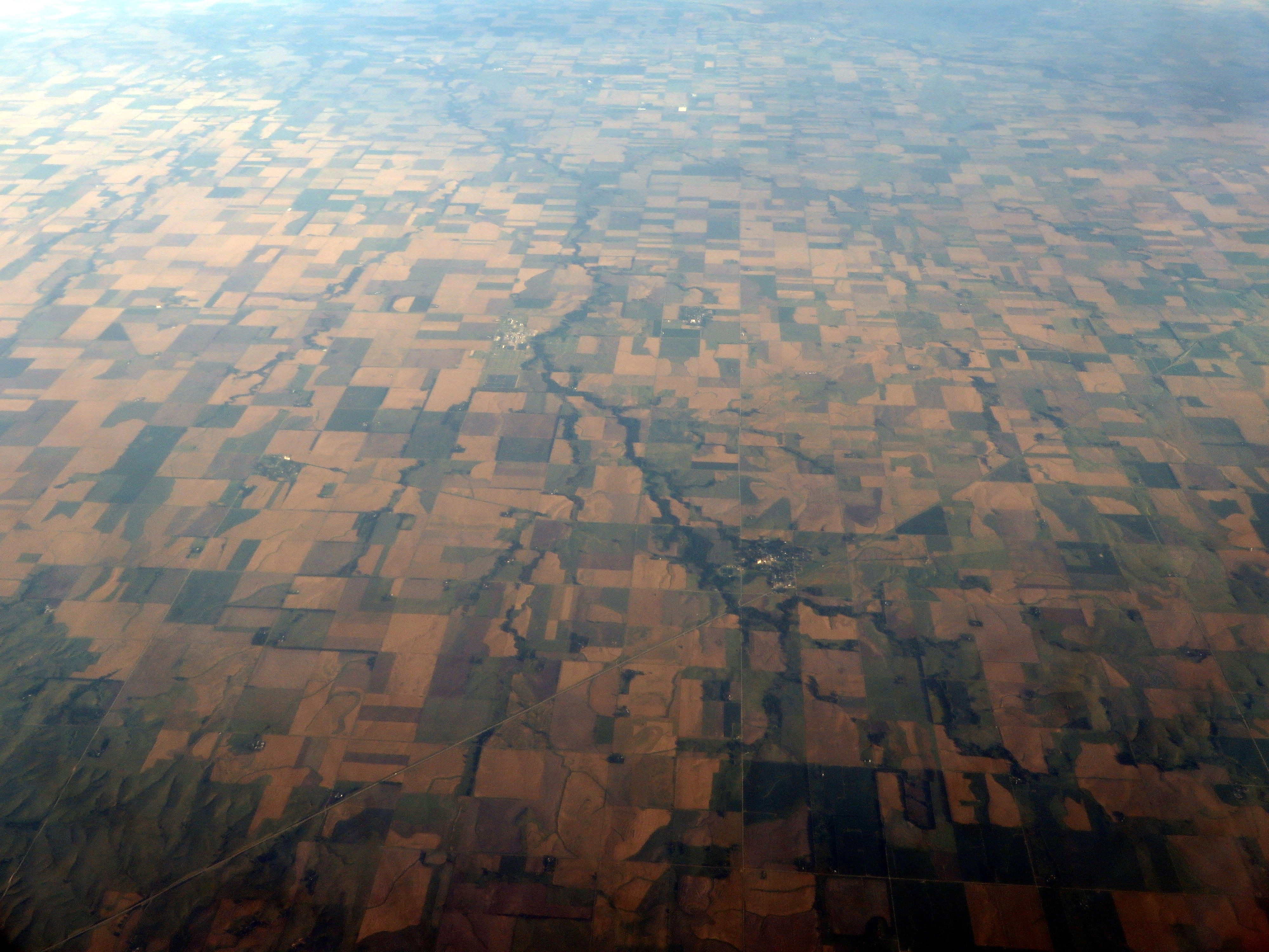
Satellite Map:
Related Photos:

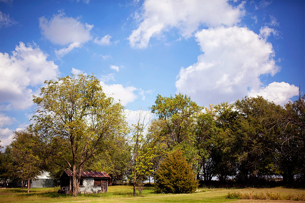
Enjoying the view

Enjoying the view

Enjoying the view
Coming Home

Into the Wild
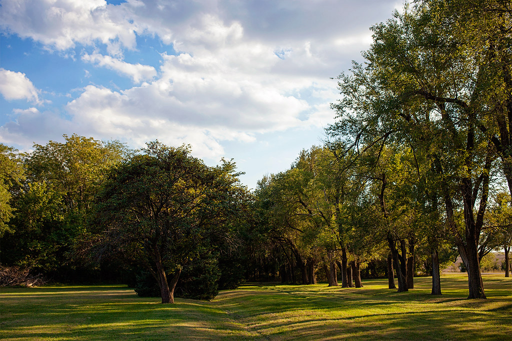
Late Afternoon Light
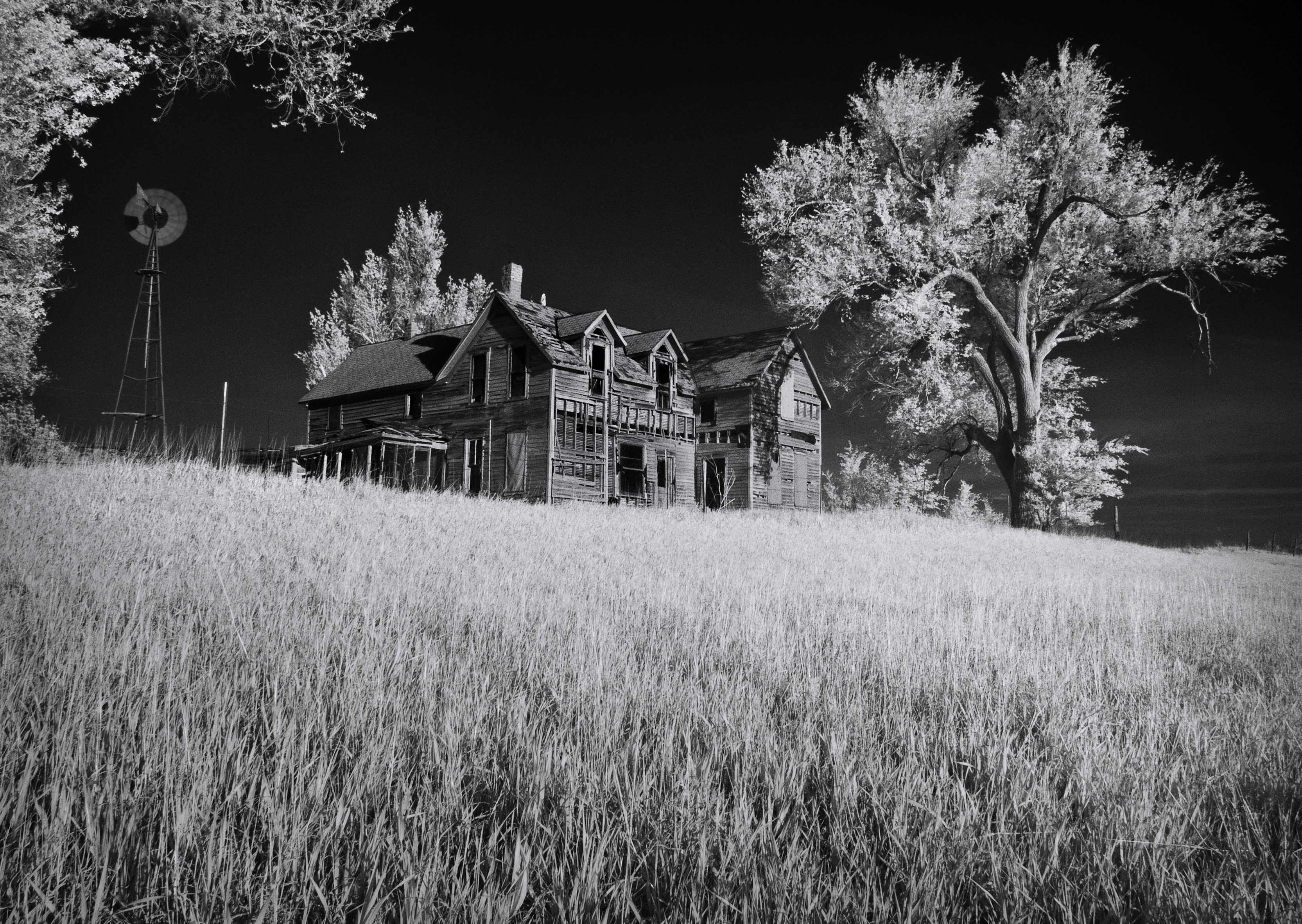
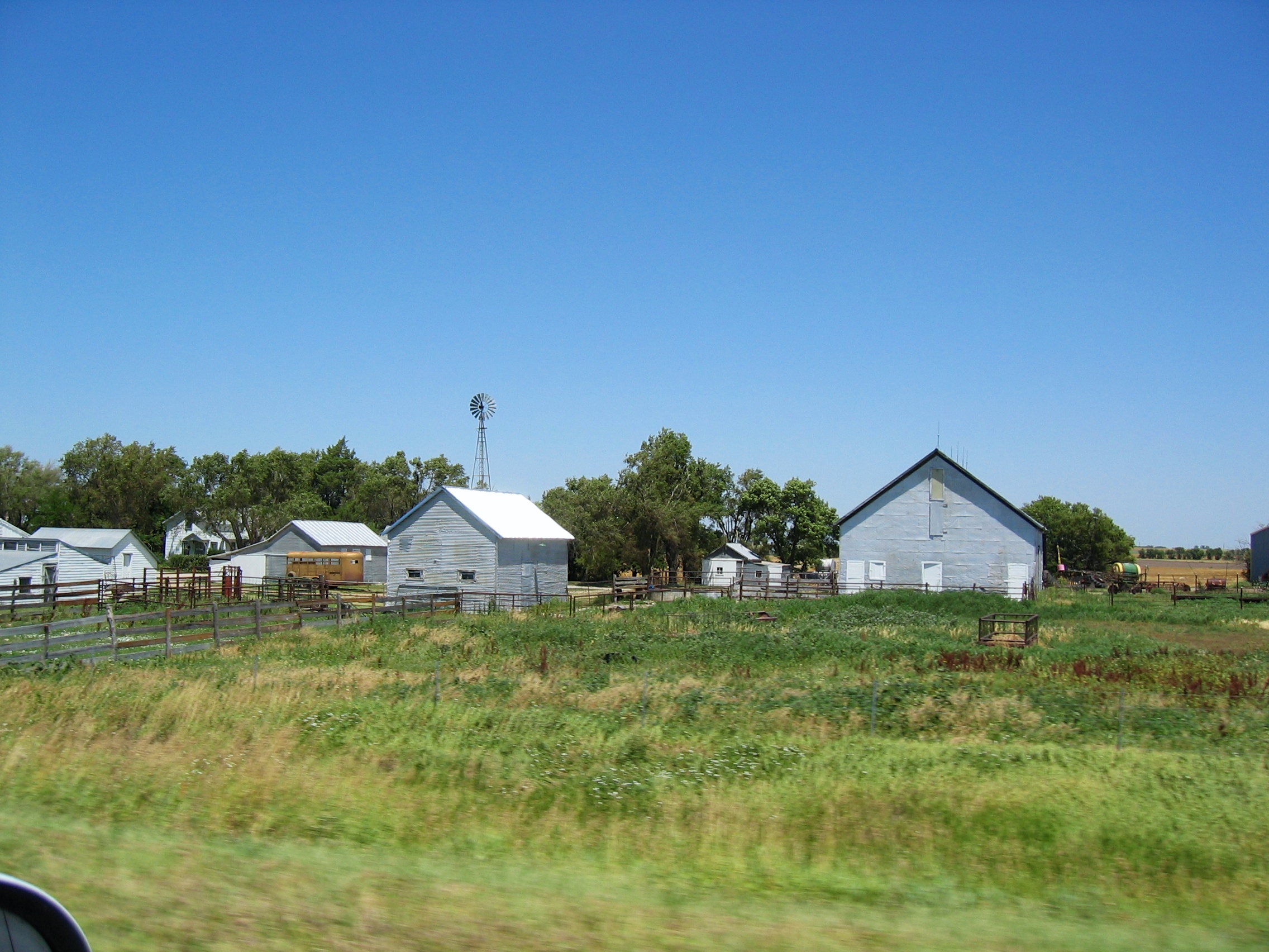
Silent Farm
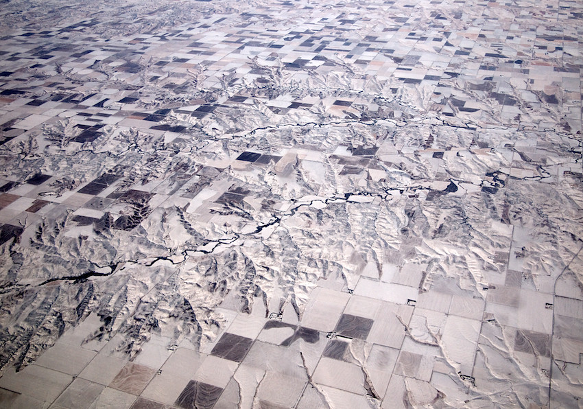
Somewhere above the Bible Belt
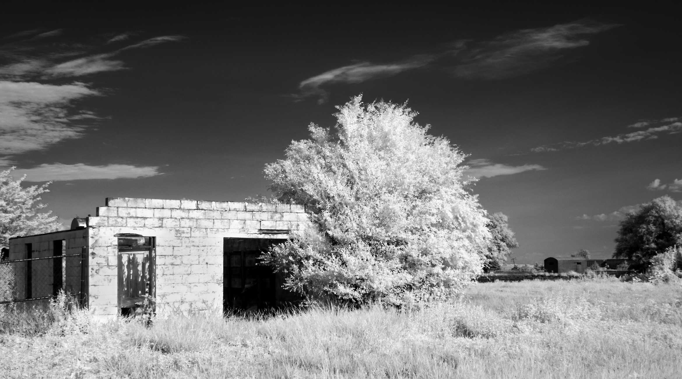
Frederick Garage
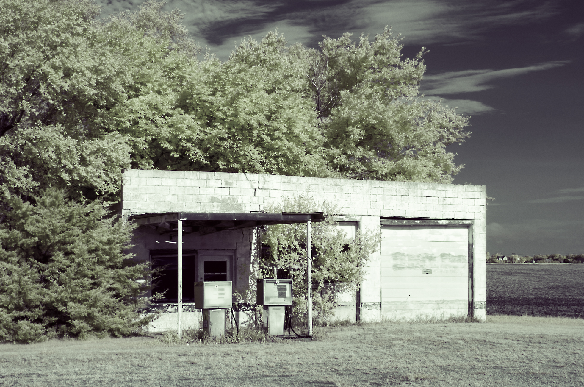
Bushton Garage

Moonglow #79: 34 Whiskers, 5 Toes and Blondie - Holyrood, Kansas

Welcome to Holyrood
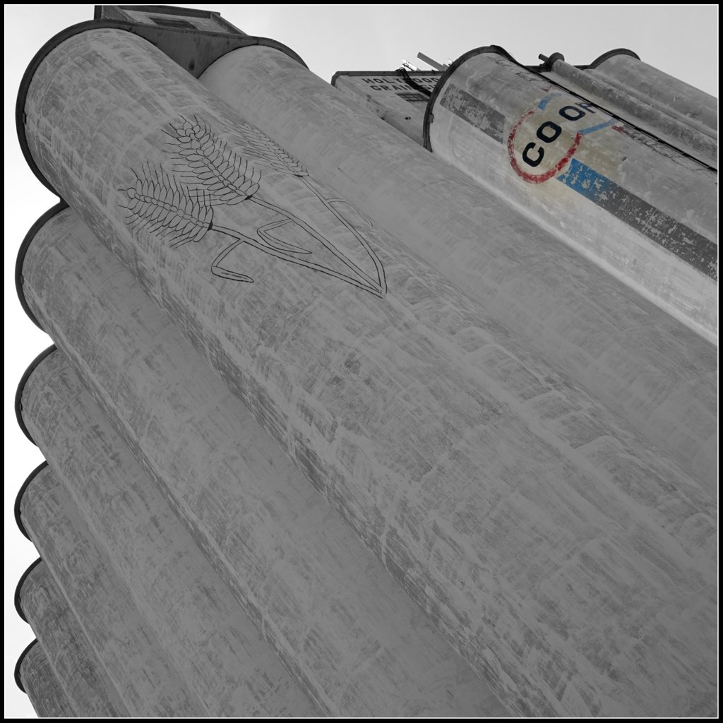
Hollyrod Grain Elevator
Bushton and Holyrood, Kansas
Bushton, Kansas

Bruce and Margo Johnson
2003-07-06 at 01-38-13 - IMG_0062

2003-07-06 at 05-30-14 - IMG_0066

2003-07-06 at 08-32-35 - IMG_0067

2003-07-31 at 03-02-48 - IMG_0239
2003-07-31 at 03-04-16 - IMG_0242
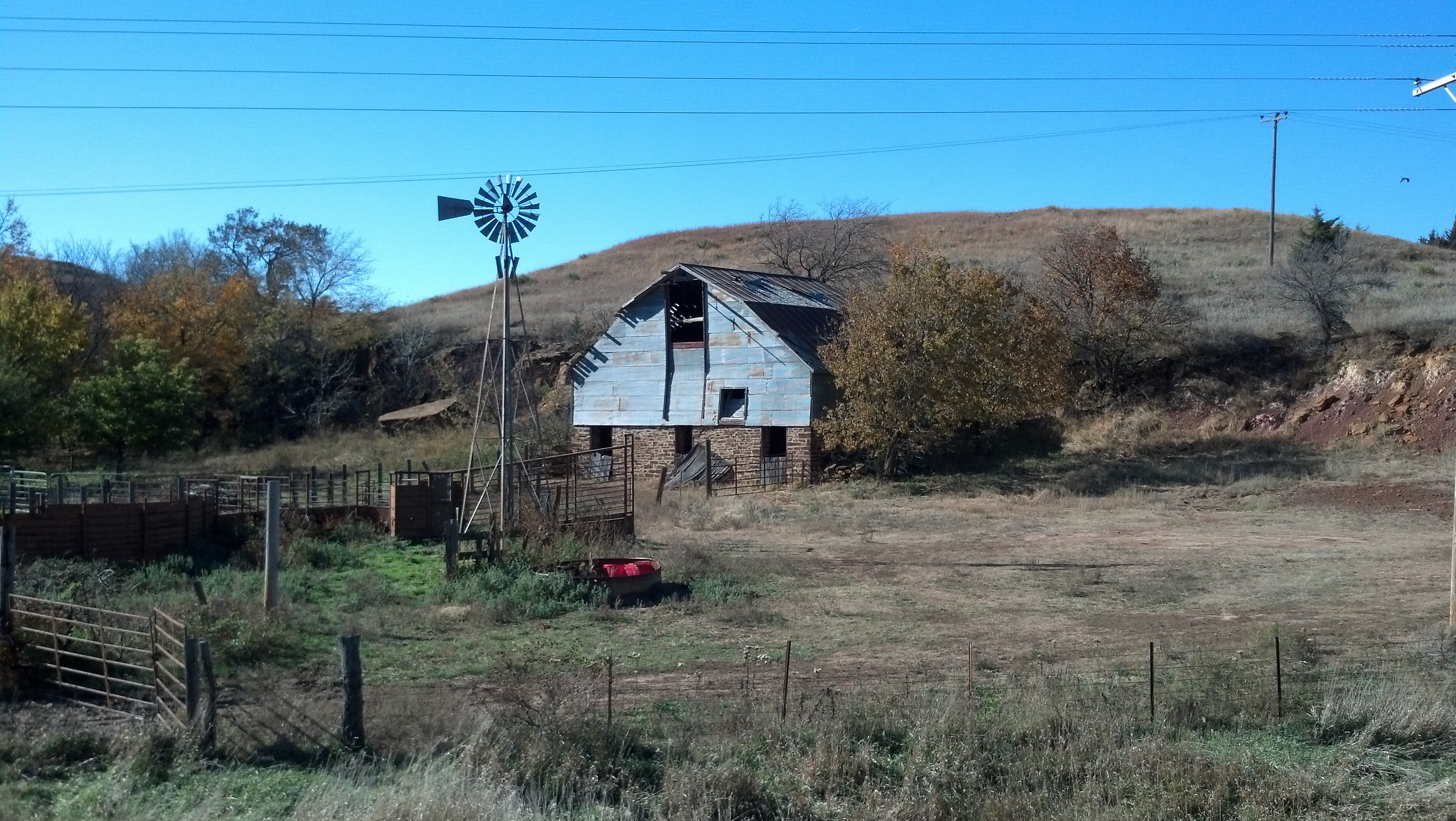
Old rock barn

Traces Of A Life
Bushton and Holyrood, Kansas
Geneseo, Kansas
Geneseo, Kansas
Topographic Map of Green Garden, KS, USA
Find elevation by address:

Places in Green Garden, KS, USA:
Places near Green Garden, KS, USA:
Wichita Ave, Lorraine, KS, USA
Lorraine
S 2nd St, Bushton, KS, USA
Bushton
E Santa Fe Ave, Holyrood, KS, USA
Holyrood
Valley
Farmer
Ellsworth County
Victoria
Geneseo
Main St, Geneseo, KS, USA
201 N Evans St
201 N Evans St
Ellsworth
Lyons
Kanopolis
E A St, Kanopolis, KS, USA
Mitchell
Church St, Lyons, KS, USA
Recent Searches:
- Elevation of Corso Fratelli Cairoli, 35, Macerata MC, Italy
- Elevation of Tallevast Rd, Sarasota, FL, USA
- Elevation of 4th St E, Sonoma, CA, USA
- Elevation of Black Hollow Rd, Pennsdale, PA, USA
- Elevation of Oakland Ave, Williamsport, PA, USA
- Elevation of Pedrógão Grande, Portugal
- Elevation of Klee Dr, Martinsburg, WV, USA
- Elevation of Via Roma, Pieranica CR, Italy
- Elevation of Tavkvetili Mountain, Georgia
- Elevation of Hartfords Bluff Cir, Mt Pleasant, SC, USA