Elevation of Longville Acres Rd, Longville, LA, USA
Location: United States > Louisiana > Beauregard Parish > 4b > Longville >
Longitude: -93.221772
Latitude: 30.6194723
Elevation: 33m / 108feet
Barometric Pressure: 0KPa
Related Photos:

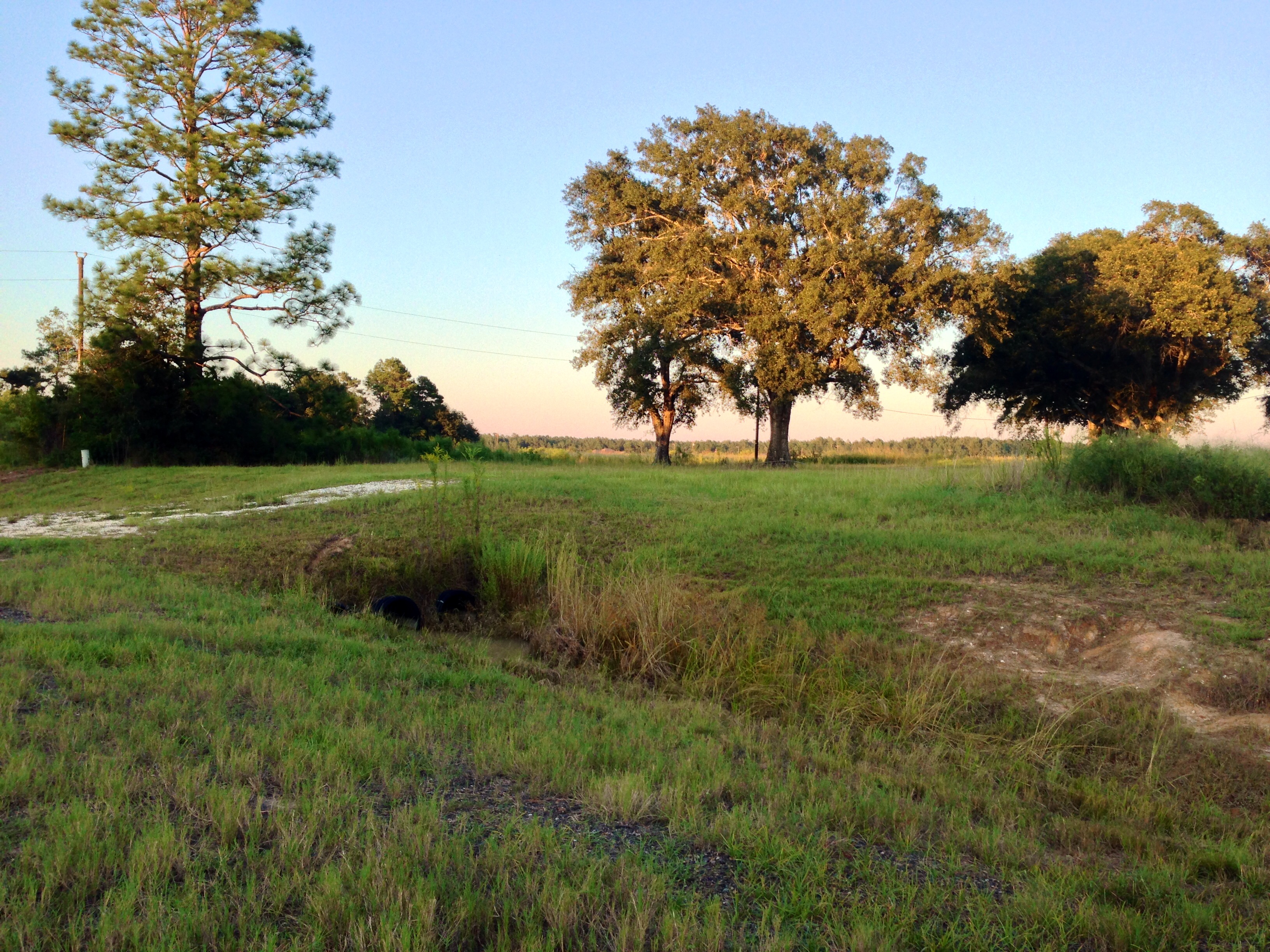
Longville Lake pano
Take a Walk
Take a Walk

Take a Walk
Take a Walk

Banded Pennant

Roseate Skimmer

Little Blue Dragonlet

Clouded Skipper

Is It So Bad Never Seeing Your Face Again

Isabel and a Sparkler
Sophie and a Sparkler

Black Vulture

Phillip looking for the sign
Topographic Map of Longville Acres Rd, Longville, LA, USA
Find elevation by address:

Places near Longville Acres Rd, Longville, LA, USA:
Longville
144 Cypress St
896 S A Cooley Rd
2107 Magnolia Church Rd
270 Allen-dale Rd
Hunt Road
4b
Ragley
4a
821 Mennonite Rd
14765 Us-171
15870 Us-171
4876 Greentown Rd
446 S Smokey Cove Rd
Pierce Road
Ragley, LA, USA
205 Kingrey Rd
435 Beehive Loop
12474 La-113
LA-, Dry Creek, LA, USA
Recent Searches:
- Elevation of Pasing, Munich, Bavaria, 81241, Germany
- Elevation of 24, Auburn Bay Crescent SE, Auburn Bay, Calgary, Alberta, T3M 0A6, Canada
- Elevation of Denver, 2314, Arapahoe Street, Five Points, Denver, Colorado, 80205, USA
- Elevation of Community of the Beatitudes, 2924, West 43rd Avenue, Sunnyside, Denver, Colorado, 80211, USA
- Elevation map of Litang County, Sichuan, China
- Elevation map of Madoi County, Qinghai, China
- Elevation of 3314, Ohio State Route 114, Payne, Paulding County, Ohio, 45880, USA
- Elevation of Sarahills Drive, Saratoga, Santa Clara County, California, 95070, USA
- Elevation of Town of Bombay, Franklin County, New York, USA
- Elevation of 9, Convent Lane, Center Moriches, Suffolk County, New York, 11934, USA
- Elevation of Saint Angelas Convent, 9, Convent Lane, Center Moriches, Suffolk County, New York, 11934, USA
- Elevation of 131st Street Southwest, Mukilteo, Snohomish County, Washington, 98275, USA
- Elevation of 304, Harrison Road, Naples, Cumberland County, Maine, 04055, USA
- Elevation of 2362, Timber Ridge Road, Harrisburg, Cabarrus County, North Carolina, 28075, USA
- Elevation of Ridge Road, Marshalltown, Marshall County, Iowa, 50158, USA
- Elevation of 2459, Misty Shadows Drive, Pigeon Forge, Sevier County, Tennessee, 37862, USA
- Elevation of 8043, Brightwater Way, Spring Hill, Williamson County, Tennessee, 37179, USA
- Elevation of Starkweather Road, San Luis, Costilla County, Colorado, 81152, USA
- Elevation of 5277, Woodside Drive, Baton Rouge, East Baton Rouge Parish, Louisiana, 70808, USA
- Elevation of 1139, Curtin Street, Shepherd Park Plaza, Houston, Harris County, Texas, 77018, USA