Elevation of US-, Ragley, LA, USA
Location: United States > Louisiana > Beauregard Parish > 4a >
Longitude: -93.2325183
Latitude: 30.4830844
Elevation: 22m / 72feet
Barometric Pressure: 0KPa
Related Photos:

Backwoods Living

Altered Perception

Clouds--sunset--turtle

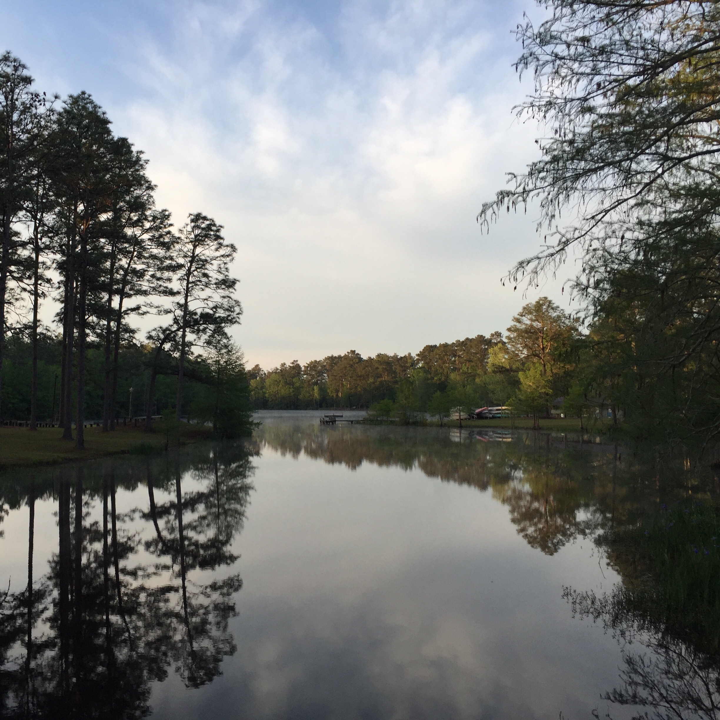
Longville Lake pano
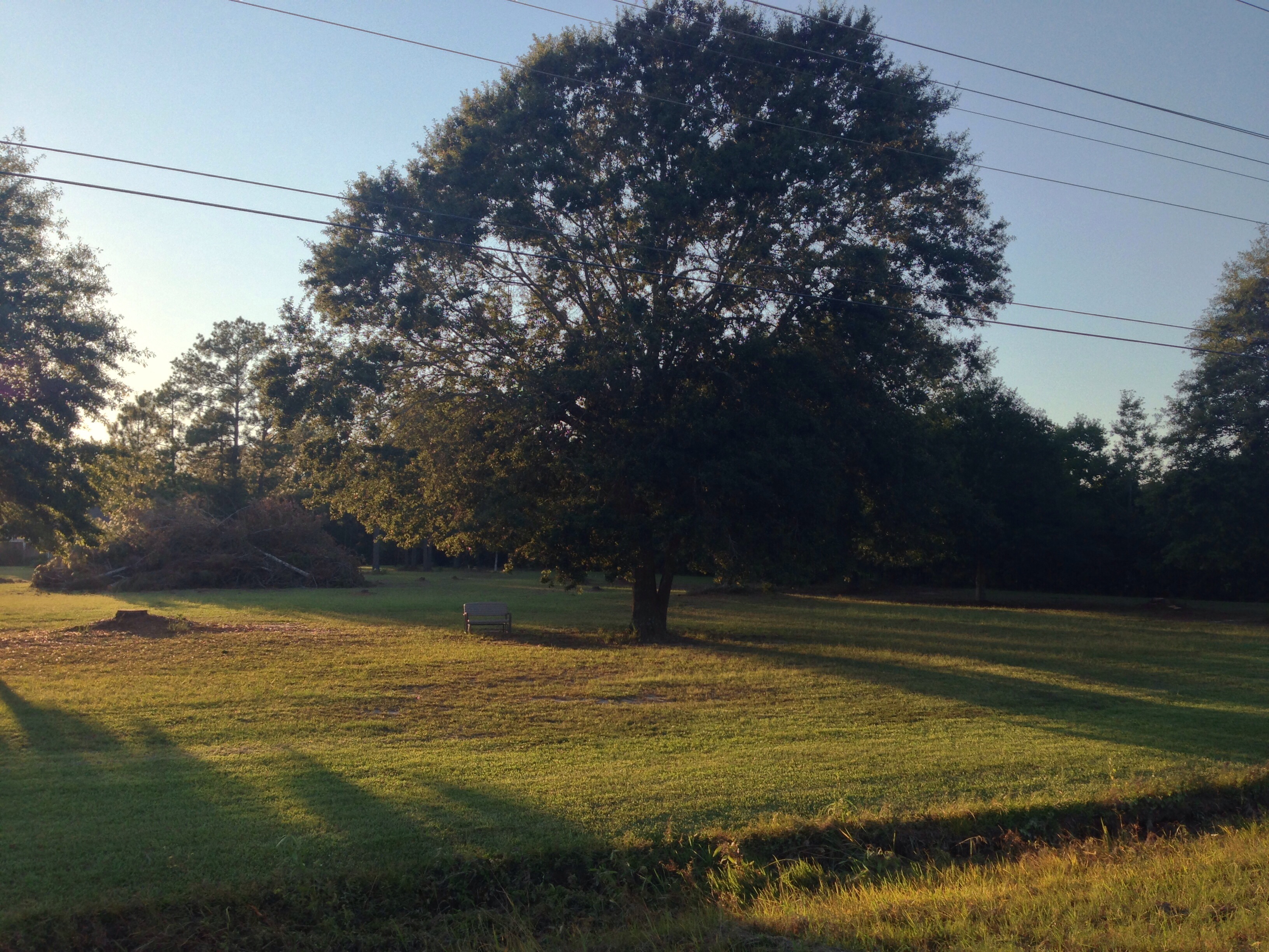
Camp Edgewood
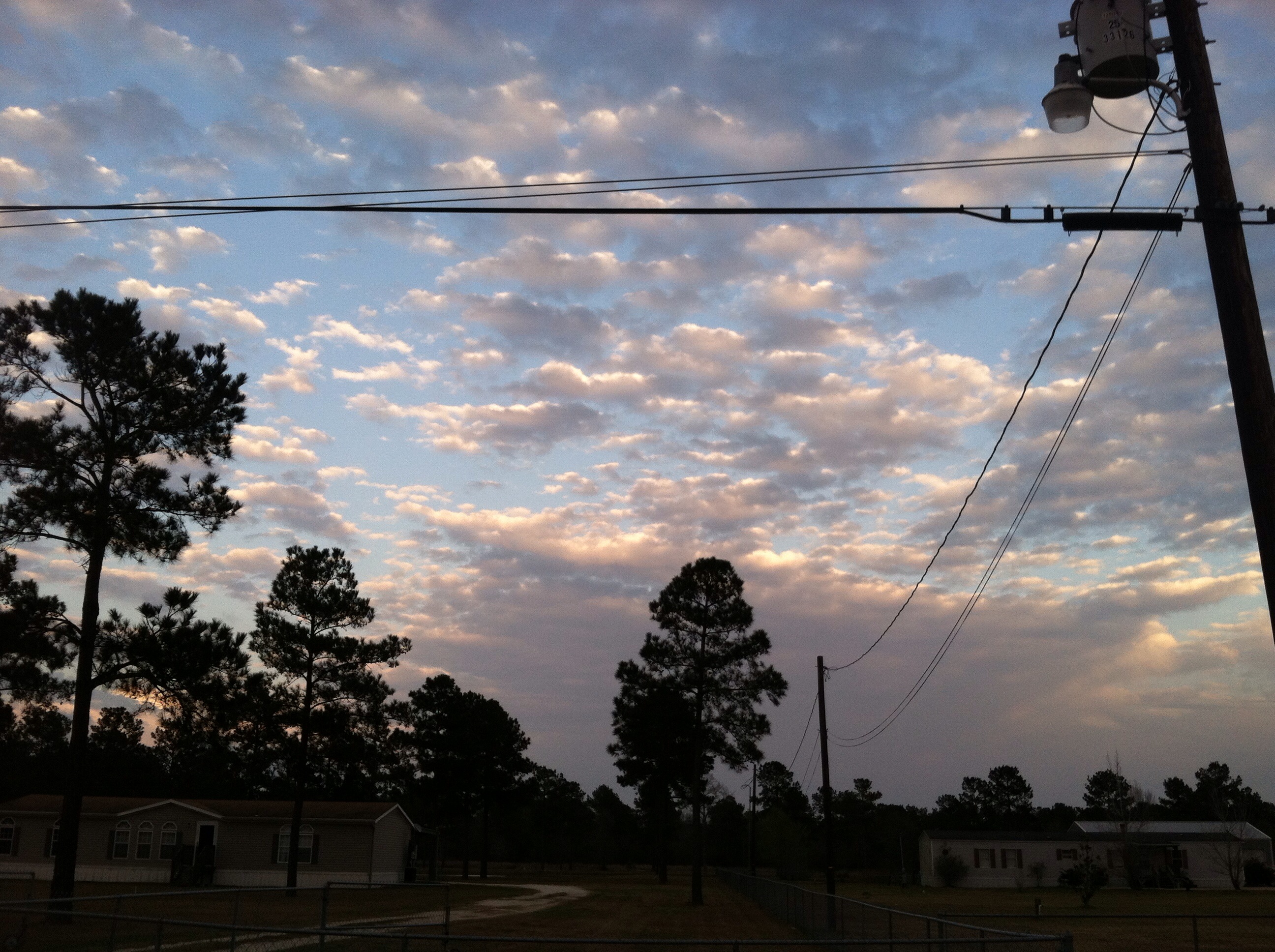
Take a Walk

Jozlyn and Lezlie

Sabrina and Lezlie
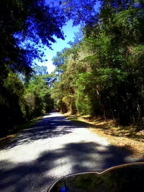
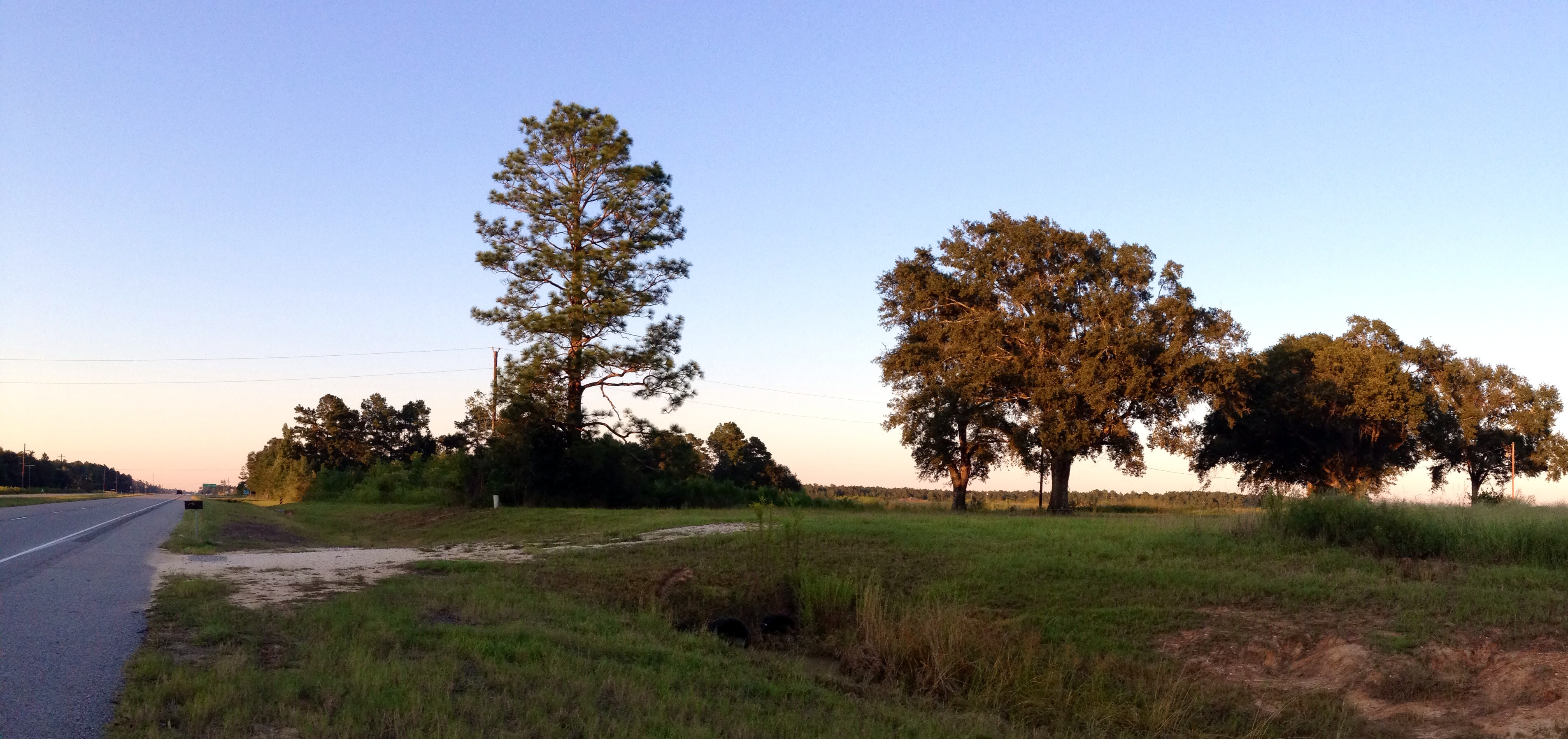
Country Road Beauty

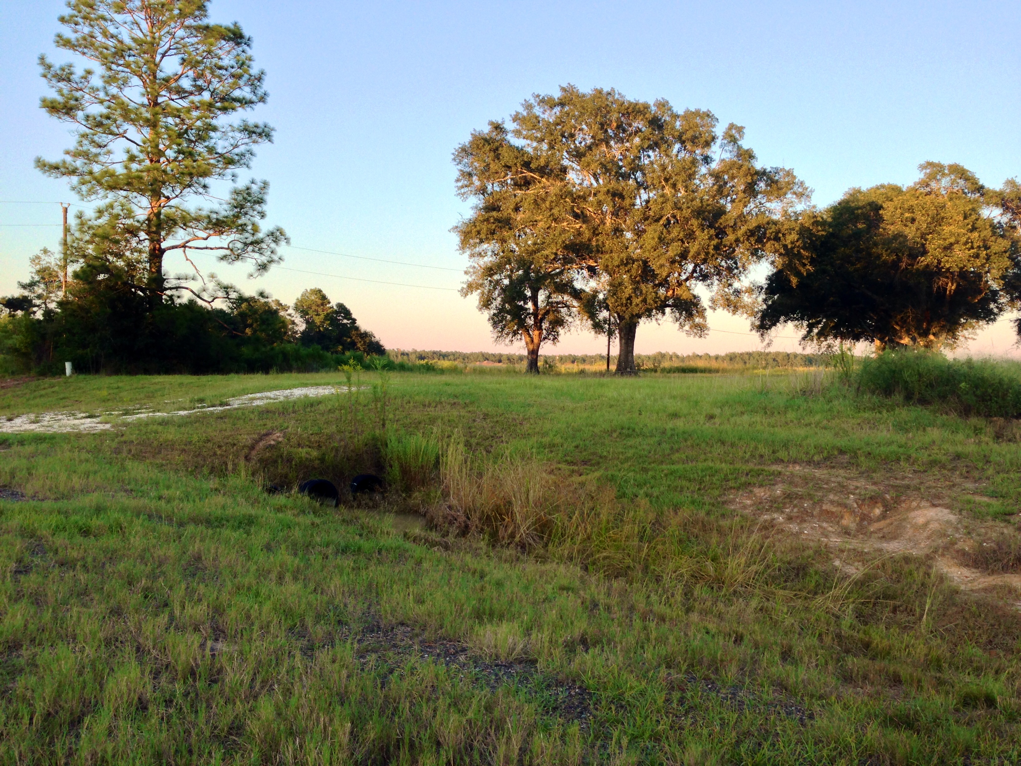
Country Living
Take a Walk

Take a Walk
Take a Walk

Clouds--sunset--turtle

Clouds--sunset--turtle

Clouds--sunset--turtle

Clouds--sunset--turtle
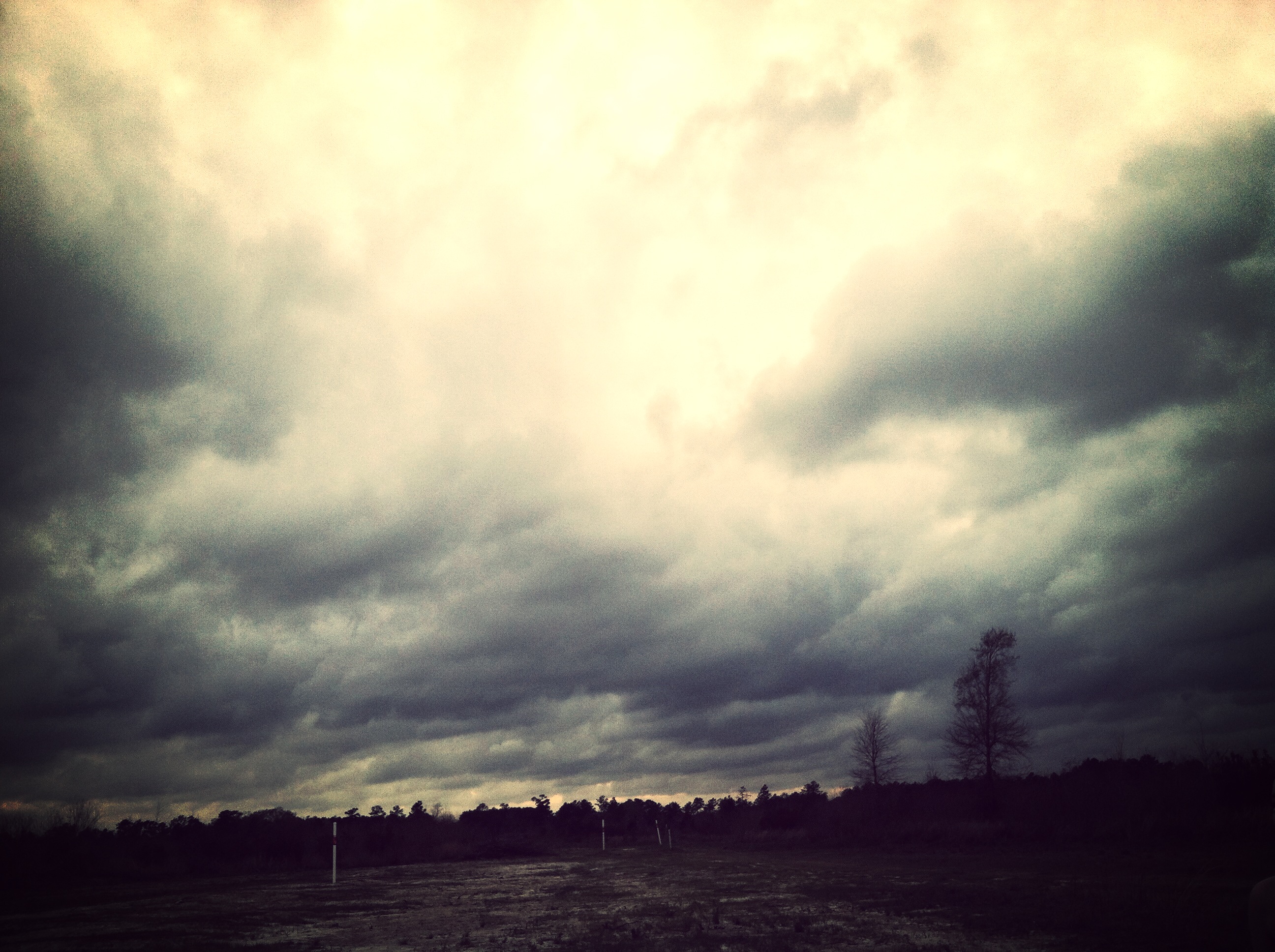
Clouds--sunset--turtle

Clouds--sunset--turtle

Clouds--sunset--turtle
Clouds--sunset--turtle
Topographic Map of US-, Ragley, LA, USA
Find elevation by address:

Places near US-, Ragley, LA, USA:
15870 Us-171
4a
Ragley
270 Allen-dale Rd
Pierce Road
Ned Smith Road
896 S A Cooley Rd
Panhandle Road
2107 Magnolia Church Rd
Herman Ellender Road
Harvey Parker Road
Pilgrim Rest Road
Ivan Gimnick Road
Alston Cemetery Road
4985 Camp Edgewood Rd
Dequincy, LA, USA
1237 Dougharty Rd
601 N Grand Ave
183 Buddy Cooper Rd
183 Buddy Cooper Rd
Recent Searches:
- Elevation of 908, Northwood Drive, Bridge Field, Chesapeake, Virginia, 23322, USA
- Elevation map of Nagano Prefecture, Japan
- Elevation of 587, Bascule Drive, Oakdale, Stanislaus County, California, 95361, USA
- Elevation of Stadion Wankdorf, Sempachstrasse, Breitfeld, Bern, Bern-Mittelland administrative district, Bern, 3014, Switzerland
- Elevation of Z024, 76, Emil-von-Behring-Straße, Marbach, Marburg, Landkreis Marburg-Biedenkopf, Hesse, 35041, Germany
- Elevation of Gaskill Road, Hunts Cross, Liverpool, England, L24 9PH, United Kingdom
- Elevation of Speke, Liverpool, England, L24 9HD, United Kingdom
- Elevation of Seqirus, 475, Green Oaks Parkway, Holly Springs, Wake County, North Carolina, 27540, USA
- Elevation of Pasing, Munich, Bavaria, 81241, Germany
- Elevation of 24, Auburn Bay Crescent SE, Auburn Bay, Calgary, Alberta, T3M 0A6, Canada
- Elevation of Denver, 2314, Arapahoe Street, Five Points, Denver, Colorado, 80205, USA
- Elevation of Community of the Beatitudes, 2924, West 43rd Avenue, Sunnyside, Denver, Colorado, 80211, USA
- Elevation map of Litang County, Sichuan, China
- Elevation map of Madoi County, Qinghai, China
- Elevation of 3314, Ohio State Route 114, Payne, Paulding County, Ohio, 45880, USA
- Elevation of Sarahills Drive, Saratoga, Santa Clara County, California, 95070, USA
- Elevation of Town of Bombay, Franklin County, New York, USA
- Elevation of 9, Convent Lane, Center Moriches, Suffolk County, New York, 11934, USA
- Elevation of Saint Angelas Convent, 9, Convent Lane, Center Moriches, Suffolk County, New York, 11934, USA
- Elevation of 131st Street Southwest, Mukilteo, Snohomish County, Washington, 98275, USA