Elevation of Kingrey Rd, Ragley, LA, USA
Location: United States > Louisiana > Beauregard Parish > 4a > Ragley >
Longitude: -93.0493278
Latitude: 30.6052075
Elevation: 36m / 118feet
Barometric Pressure: 0KPa
Related Photos:

The White House

Isabel and a Sparkler
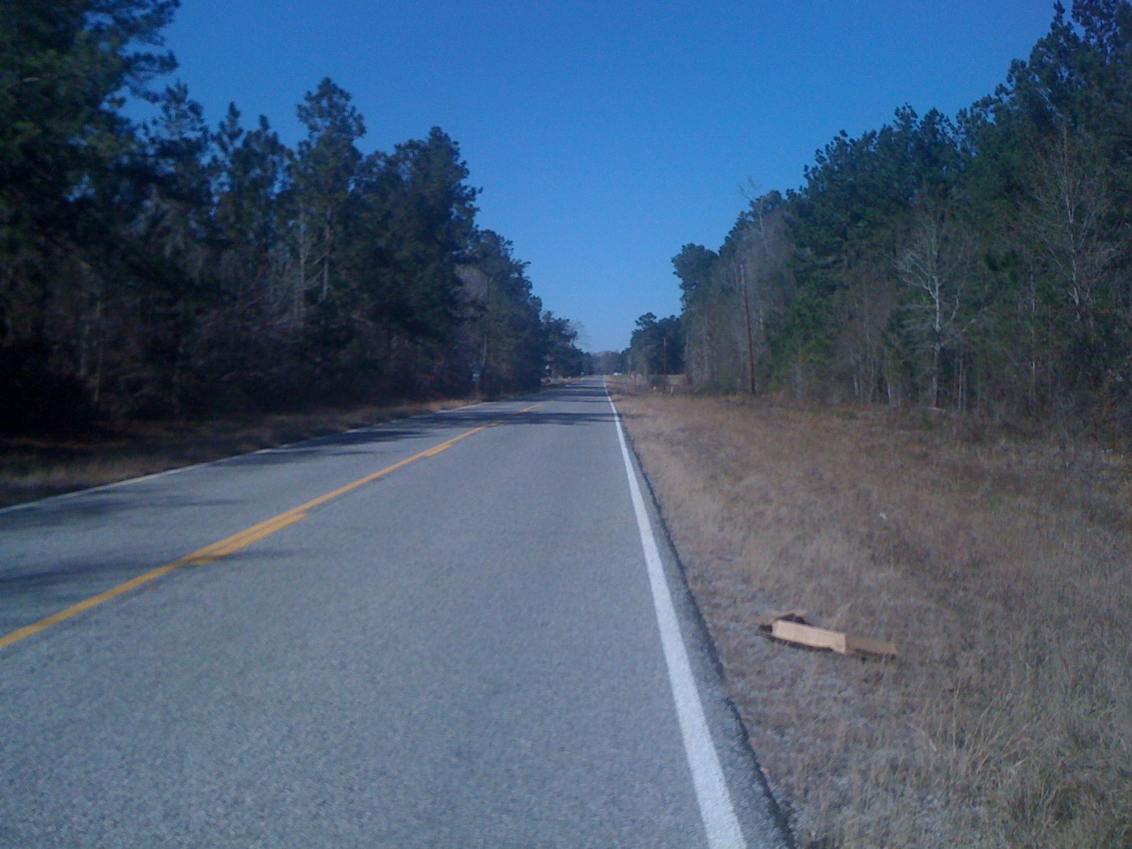
Hwy 1472

Do you think they know they're about to become diner?
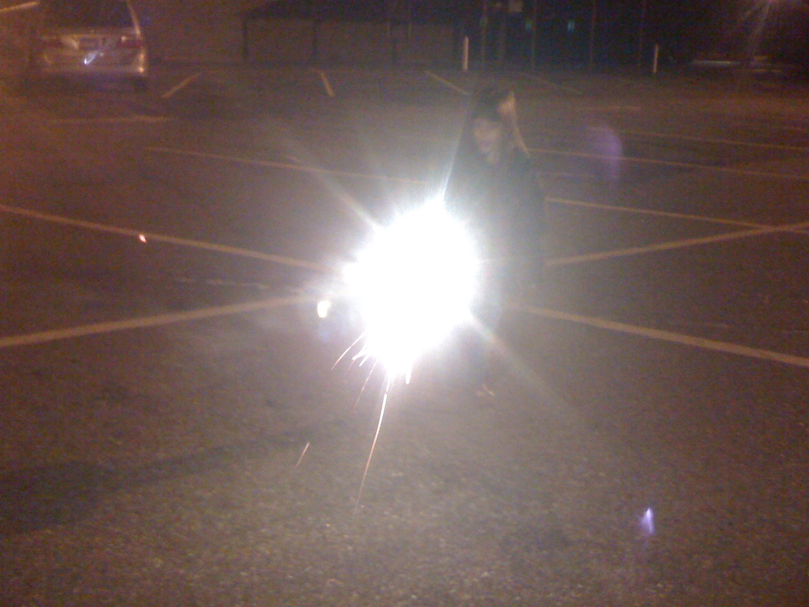
Sophie and a Sparkler
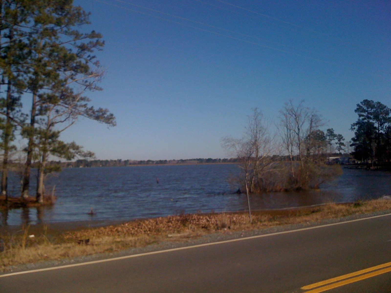
Lake Bundick 3
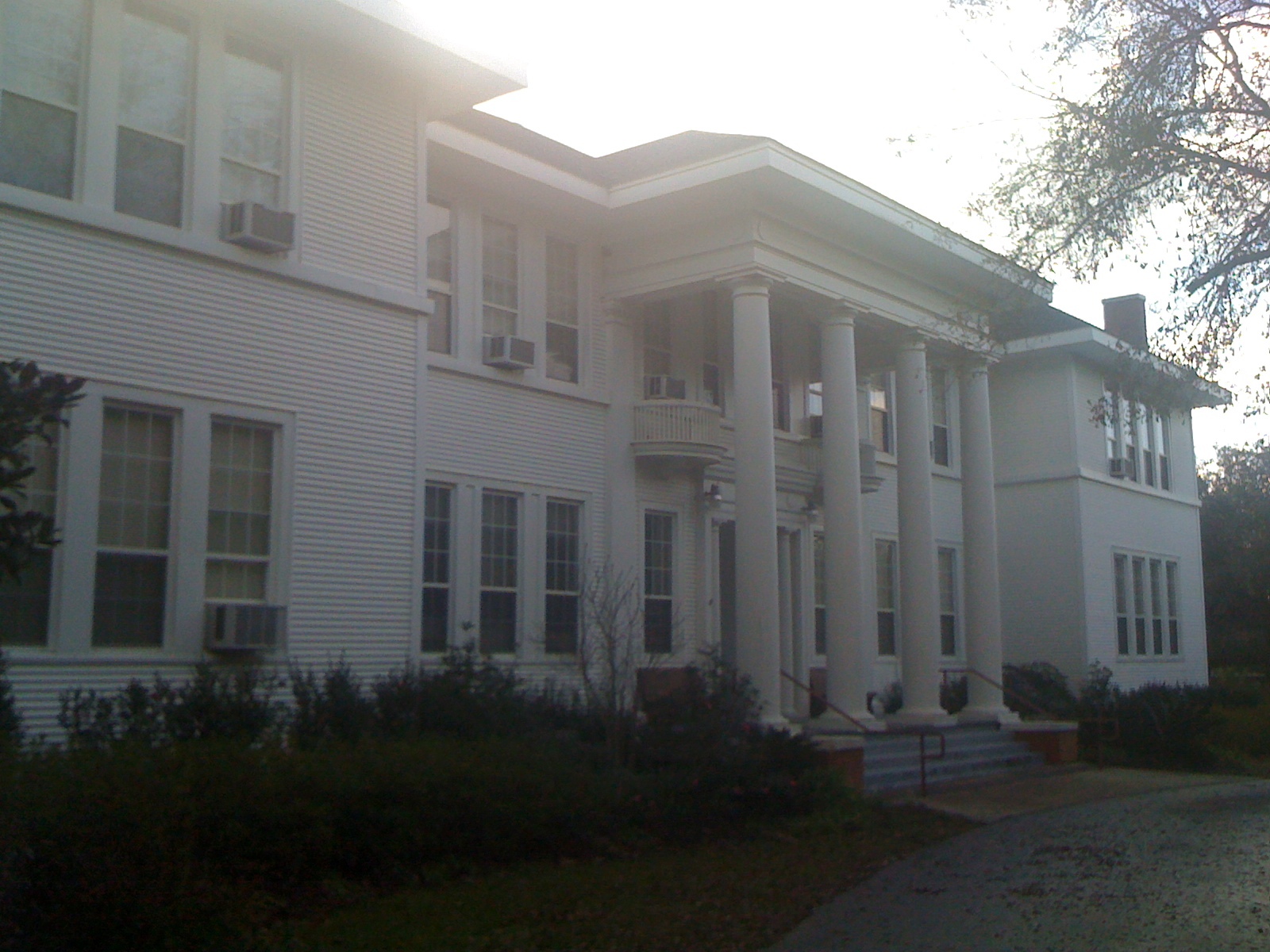
The White House

Vica washes dishes.

Waiting for cake
Topographic Map of Kingrey Rd, Ragley, LA, USA
Find elevation by address:

Places near Kingrey Rd, Ragley, LA, USA:
12474 La-113
LA-, Dry Creek, LA, USA
7, LA, USA
Reeves
US-, Reeves, LA, USA
5, LA, USA
Hunt Road
2107 Magnolia Church Rd
4876 Greentown Rd
270 Allen-dale Rd
276 Reva Ln
247 Nevils Bluff Rd
247 Nevils Bluff Rd
635 Longville Acres Rd
Ragley, LA, USA
Longville
144 Cypress St
Allen Parish
4, LA, USA
219 Moonlight Dr
Recent Searches:
- Elevation map of Greenland, Greenland
- Elevation of Sullivan Hill, New York, New York, 10002, USA
- Elevation of Morehead Road, Withrow Downs, Charlotte, Mecklenburg County, North Carolina, 28262, USA
- Elevation of 2800, Morehead Road, Withrow Downs, Charlotte, Mecklenburg County, North Carolina, 28262, USA
- Elevation of Yangbi Yi Autonomous County, Yunnan, China
- Elevation of Pingpo, Yangbi Yi Autonomous County, Yunnan, China
- Elevation of Mount Malong, Pingpo, Yangbi Yi Autonomous County, Yunnan, China
- Elevation map of Yongping County, Yunnan, China
- Elevation of North 8th Street, Palatka, Putnam County, Florida, 32177, USA
- Elevation of 107, Big Apple Road, East Palatka, Putnam County, Florida, 32131, USA
- Elevation of Jiezi, Chongzhou City, Sichuan, China
- Elevation of Chongzhou City, Sichuan, China
- Elevation of Huaiyuan, Chongzhou City, Sichuan, China
- Elevation of Qingxia, Chengdu, Sichuan, China
- Elevation of Corso Fratelli Cairoli, 35, Macerata MC, Italy
- Elevation of Tallevast Rd, Sarasota, FL, USA
- Elevation of 4th St E, Sonoma, CA, USA
- Elevation of Black Hollow Rd, Pennsdale, PA, USA
- Elevation of Oakland Ave, Williamsport, PA, USA
- Elevation of Pedrógão Grande, Portugal