Elevation of Long Meadow Hill, Calais, VT, USA
Location: United States > Vermont > Washington County > Calais >
Longitude: -72.5373316
Latitude: 44.3464462
Elevation: 567m / 1860feet
Barometric Pressure: 0KPa
Related Photos:

Day 30: Vermont

Wrightsville Reservoir

Grand View Farm

Worcester Waterfall

Northern Hawk Owl, Waterbury Center, VT 12/21/13
Before the First Snow

lobby • columns

capitol • outlook

Northern Hawk Owl, Waterbury Center, VT 12/21/13

mouse-eye • view
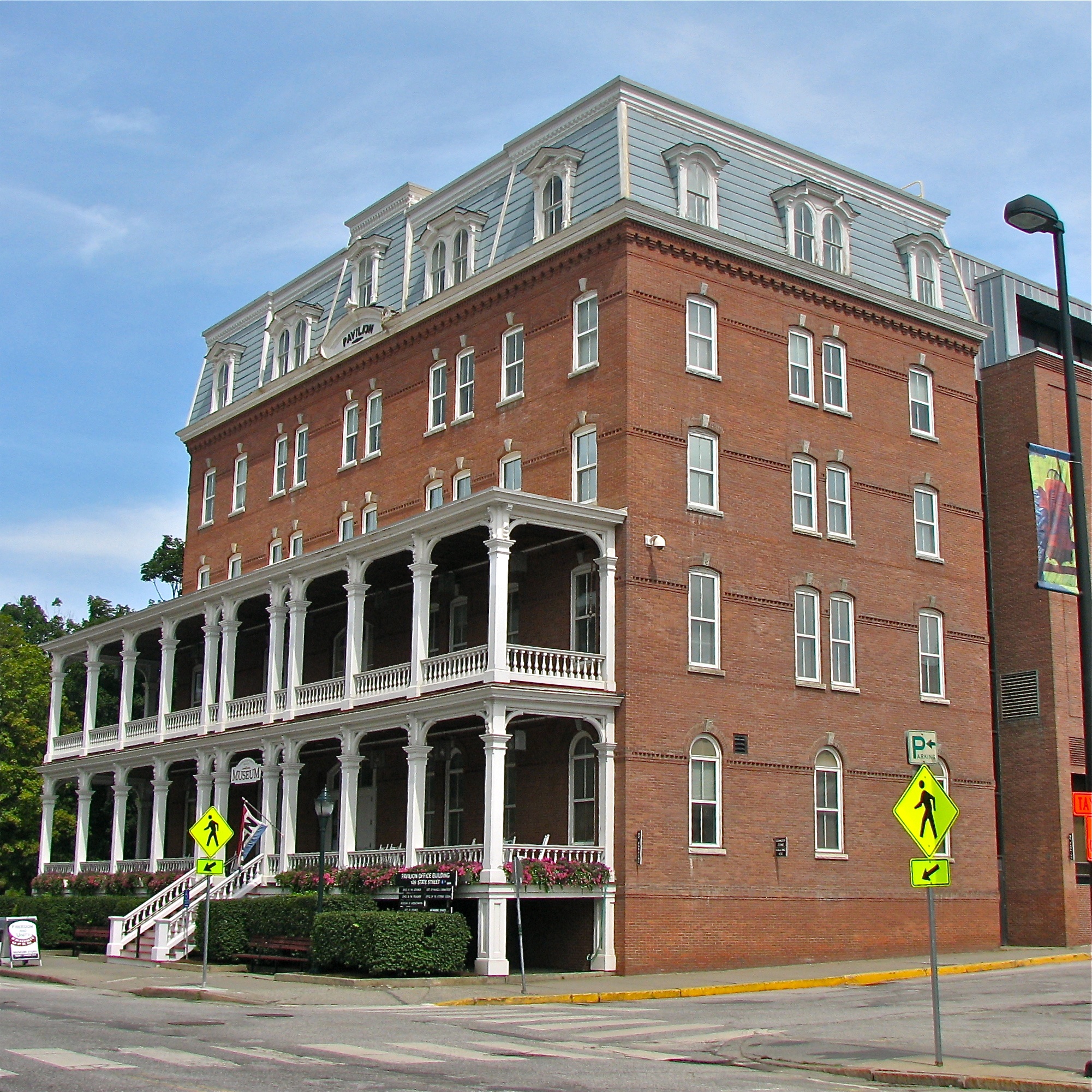
Pavilion Office Building

columned • view

columns • flower.boxes

Northern Hawk Owl, Waterbury Center, VT 12/21/13

Montpelier Sunset

Unitarian Church of Montpelier (1866) – cluttered view

Hidden Paradise

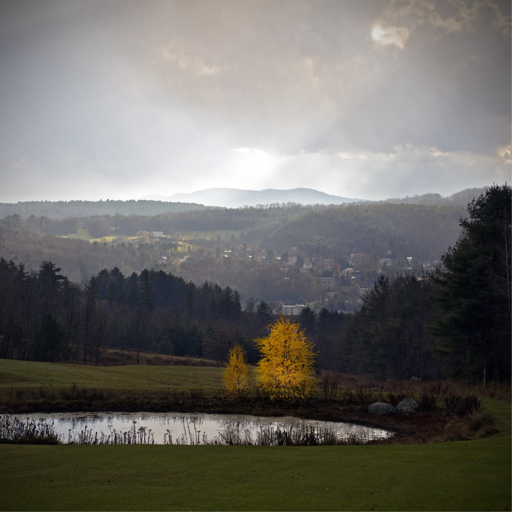
Vermont Vista

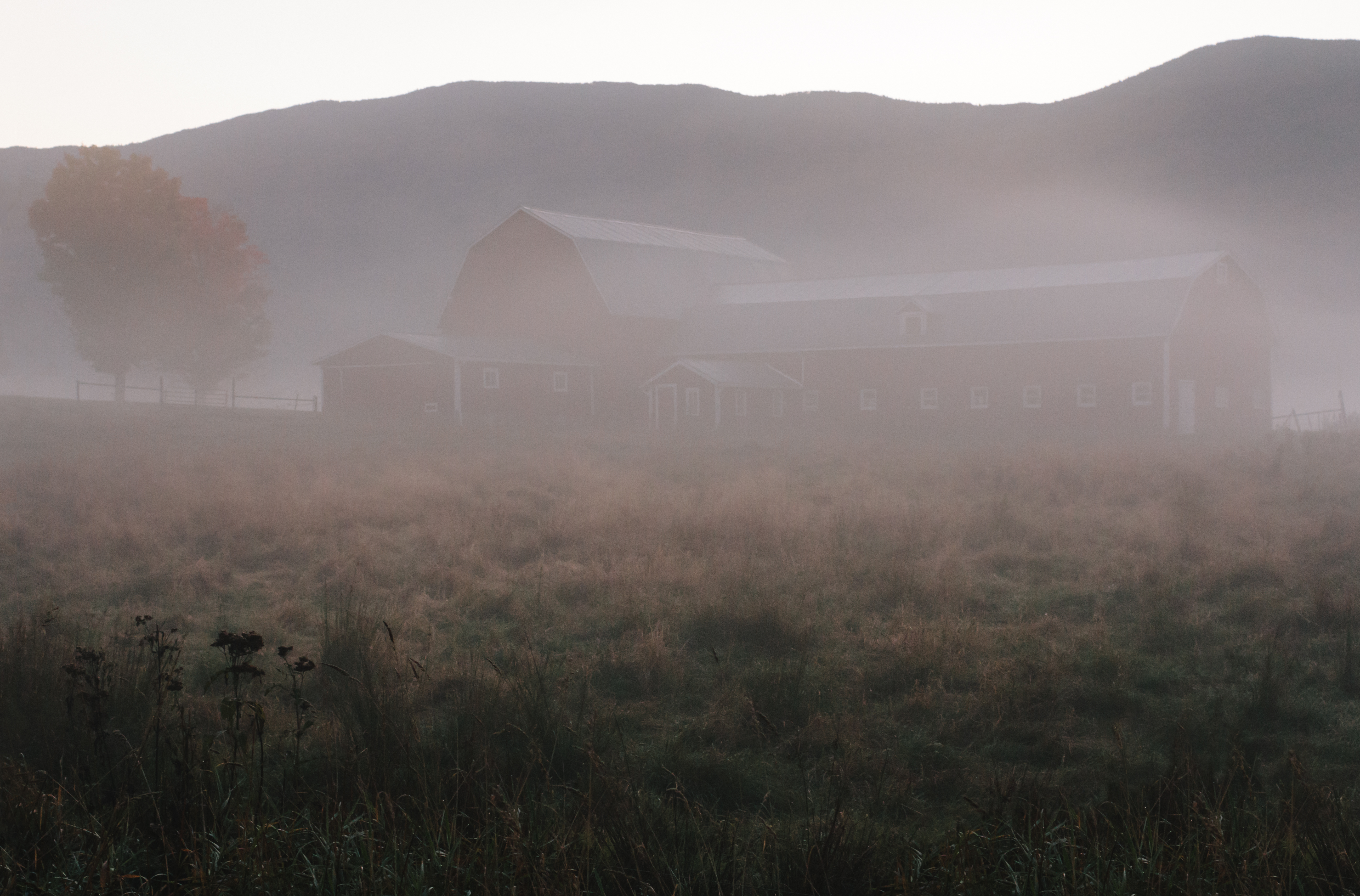
Foggy Valley

A snapshot of America

Montpelier from Kinstead Corner

Fall above it all

Gold Brook Covered Bridge - Explore

Too Early

Montpelier Junction, Vermont

Grandview Farm Red Barn

HV162174.jpg

Emily's Bridge

Vermont State Capitol Building

It's water under the bridge

Haunted Bridge in Stowe
A bit of pre-dawn magic

Winooski River Marshfield Vermont

Fall colors

Vermont-7414.jpg

Stormy May Day

Gloomy Autumn Day

Sunset after the Storm

Greenwood Lake Foliage

Fritillary Butterfly on Joe Pye Weed

The Red Barn
Topographic Map of Long Meadow Hill, Calais, VT, USA
Find elevation by address:

Places near Long Meadow Hill, Calais, VT, USA:
945 Long Meadow Hill Rd
Dugar Road
60 Gould Hill Rd
7874 County Rd
290 Horn Of The Moon Rd
63 Worcester Village Rd
55 Worcester Village Rd
46 Worcester Village Rd
Worcester
Bliss Pond
Adamant
3385 North St
761 Bliss Pond Rd
237 Collar Hill Rd
Collar Hill Road
530 Collar Hill Rd
418 Worcester Rd
Worcester Road
Frazier Road
Maple Corner Store
Recent Searches:
- Elevation map of Litang County, Sichuan, China
- Elevation map of Madoi County, Qinghai, China
- Elevation of 3314, Ohio State Route 114, Payne, Paulding County, Ohio, 45880, USA
- Elevation of Sarahills Drive, Saratoga, Santa Clara County, California, 95070, USA
- Elevation of Town of Bombay, Franklin County, New York, USA
- Elevation of 9, Convent Lane, Center Moriches, Suffolk County, New York, 11934, USA
- Elevation of Saint Angelas Convent, 9, Convent Lane, Center Moriches, Suffolk County, New York, 11934, USA
- Elevation of 131st Street Southwest, Mukilteo, Snohomish County, Washington, 98275, USA
- Elevation of 304, Harrison Road, Naples, Cumberland County, Maine, 04055, USA
- Elevation of 2362, Timber Ridge Road, Harrisburg, Cabarrus County, North Carolina, 28075, USA
- Elevation of Ridge Road, Marshalltown, Marshall County, Iowa, 50158, USA
- Elevation of 2459, Misty Shadows Drive, Pigeon Forge, Sevier County, Tennessee, 37862, USA
- Elevation of 8043, Brightwater Way, Spring Hill, Williamson County, Tennessee, 37179, USA
- Elevation of Starkweather Road, San Luis, Costilla County, Colorado, 81152, USA
- Elevation of 5277, Woodside Drive, Baton Rouge, East Baton Rouge Parish, Louisiana, 70808, USA
- Elevation of 1139, Curtin Street, Shepherd Park Plaza, Houston, Harris County, Texas, 77018, USA
- Elevation of 136, Sellers Lane, Repton, Monroe County, Alabama, 36475, USA
- Elevation of 12914, Elmington Drive, Lakewood Forest, Houston, Harris County, Texas, 77429, USA
- Elevation of 417, Camelot Drive, Statesville, Iredell County, North Carolina, 28625, USA
- Elevation of 5792, Wildridge Road, Avon, Eagle County, Colorado, 81620, USA