Elevation of Collar Hill Rd, Worcester, VT, USA
Location: United States > Vermont > Washington County > Worcester >
Longitude: -72.510589
Latitude: 44.37991
Elevation: 426m / 1398feet
Barometric Pressure: 96KPa
Elevation Map:
Satellite Map:
Related Photos:
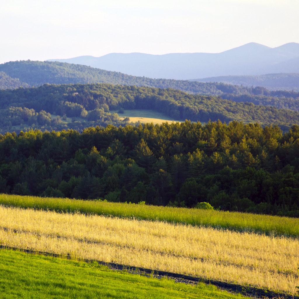
Wrightsville Reservoir

Grand View Farm
Stowe Pinnacle

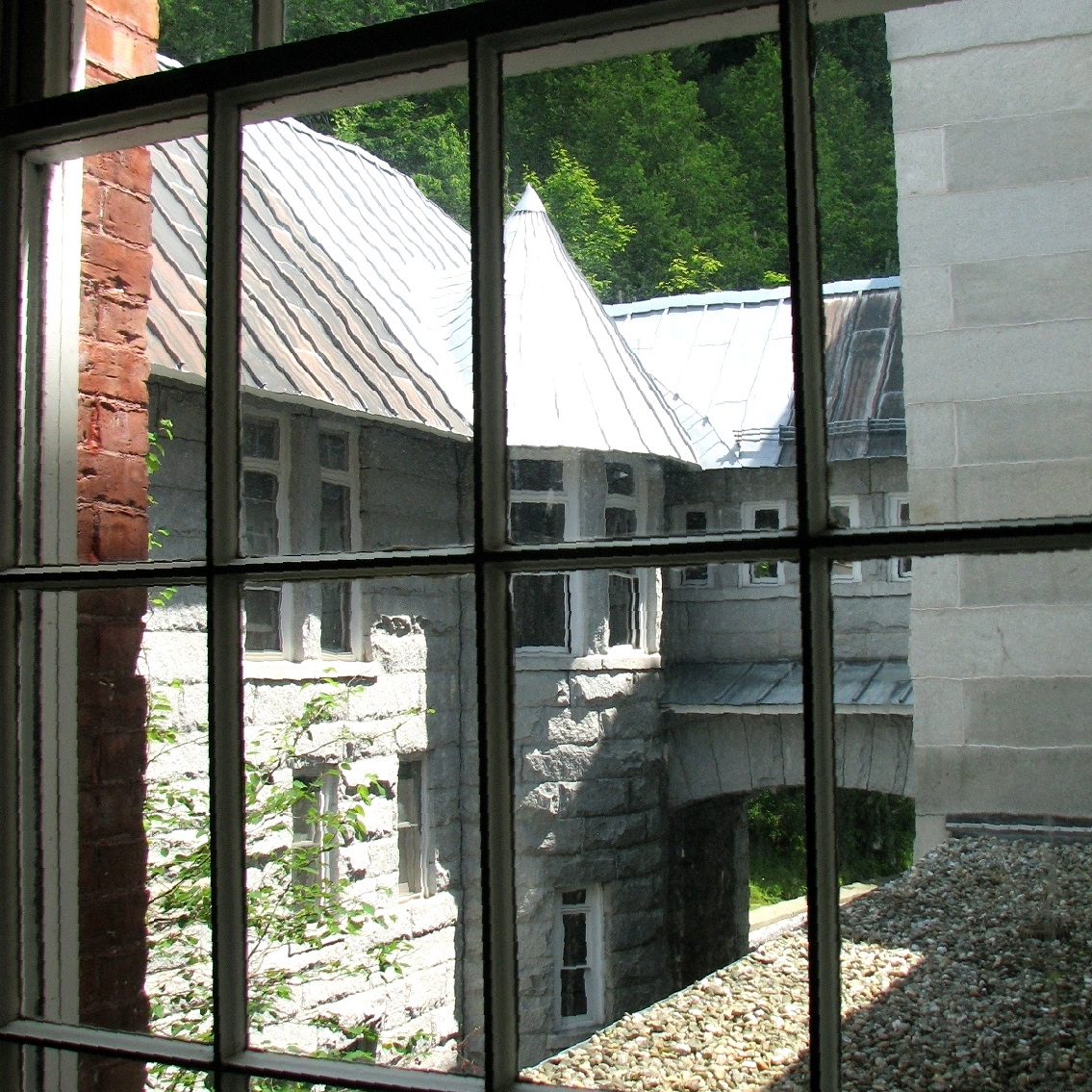
Stowell Burial Place (1897) - gazing bench view
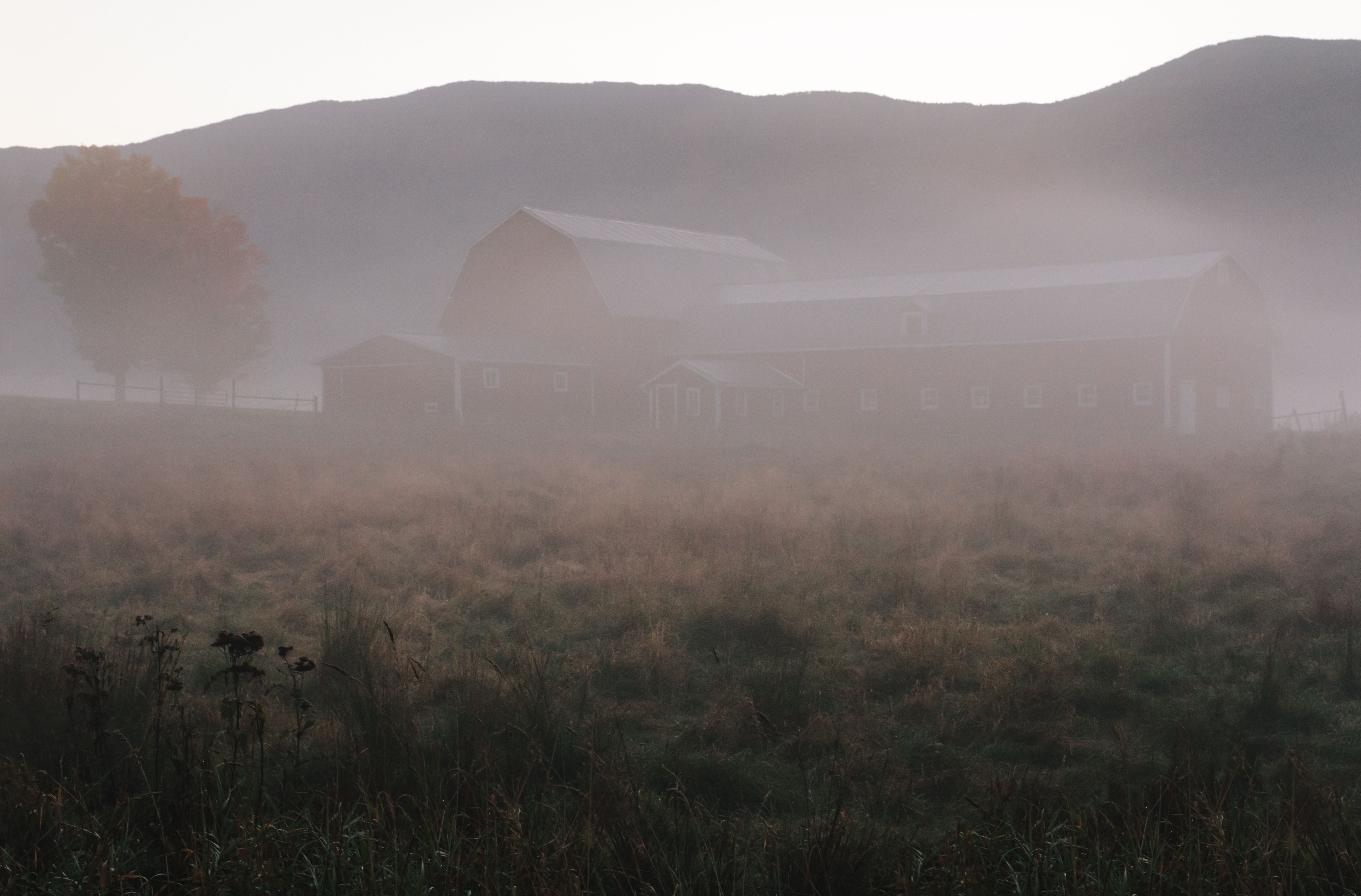
Foggy Valley

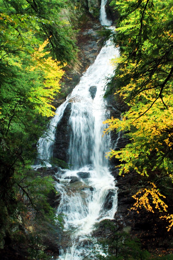
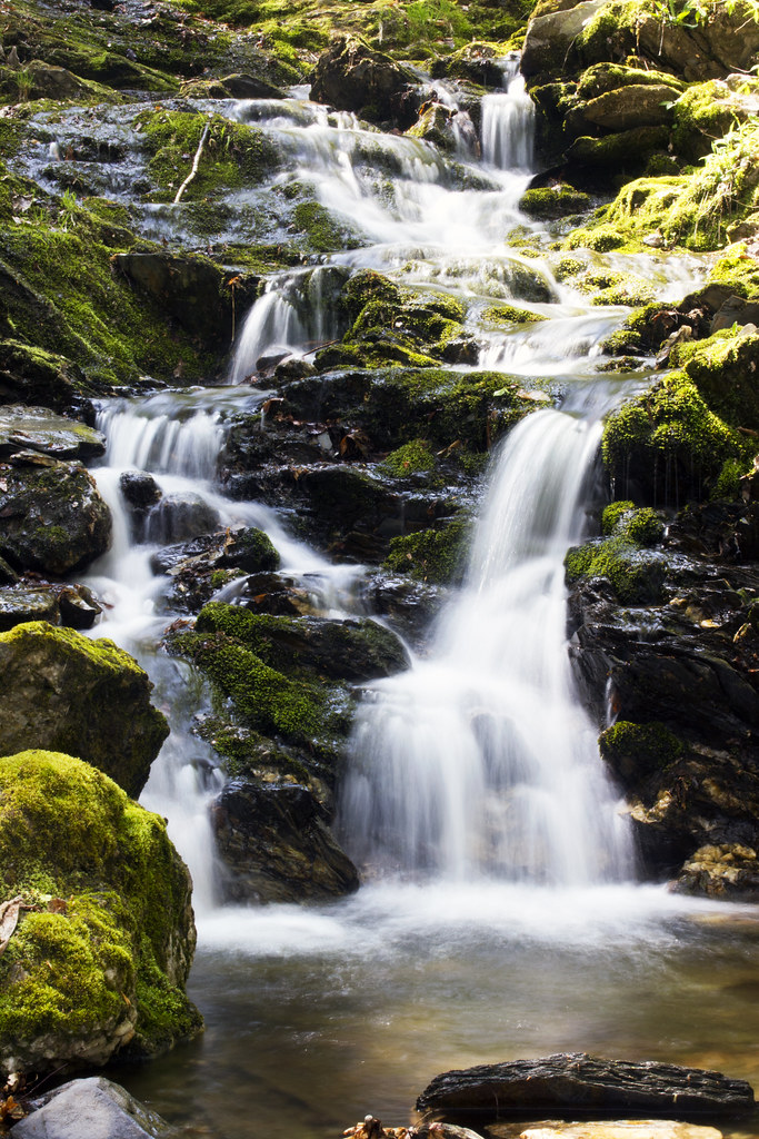
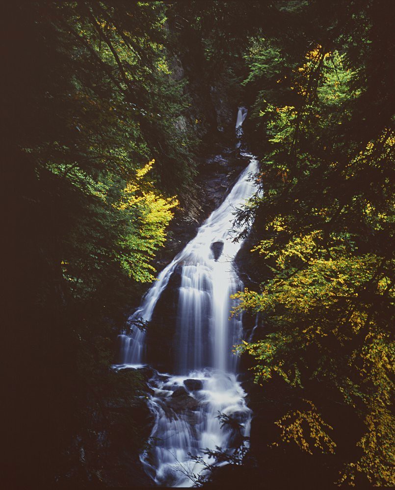
Worcester Waterfall
Stowe Panoramic

Calais view
Vermont Vista

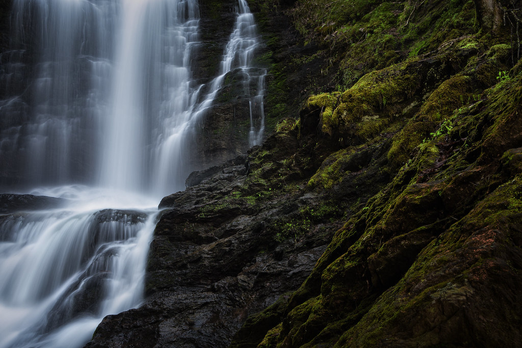
Another view of Moss Glen Falls

Boston view
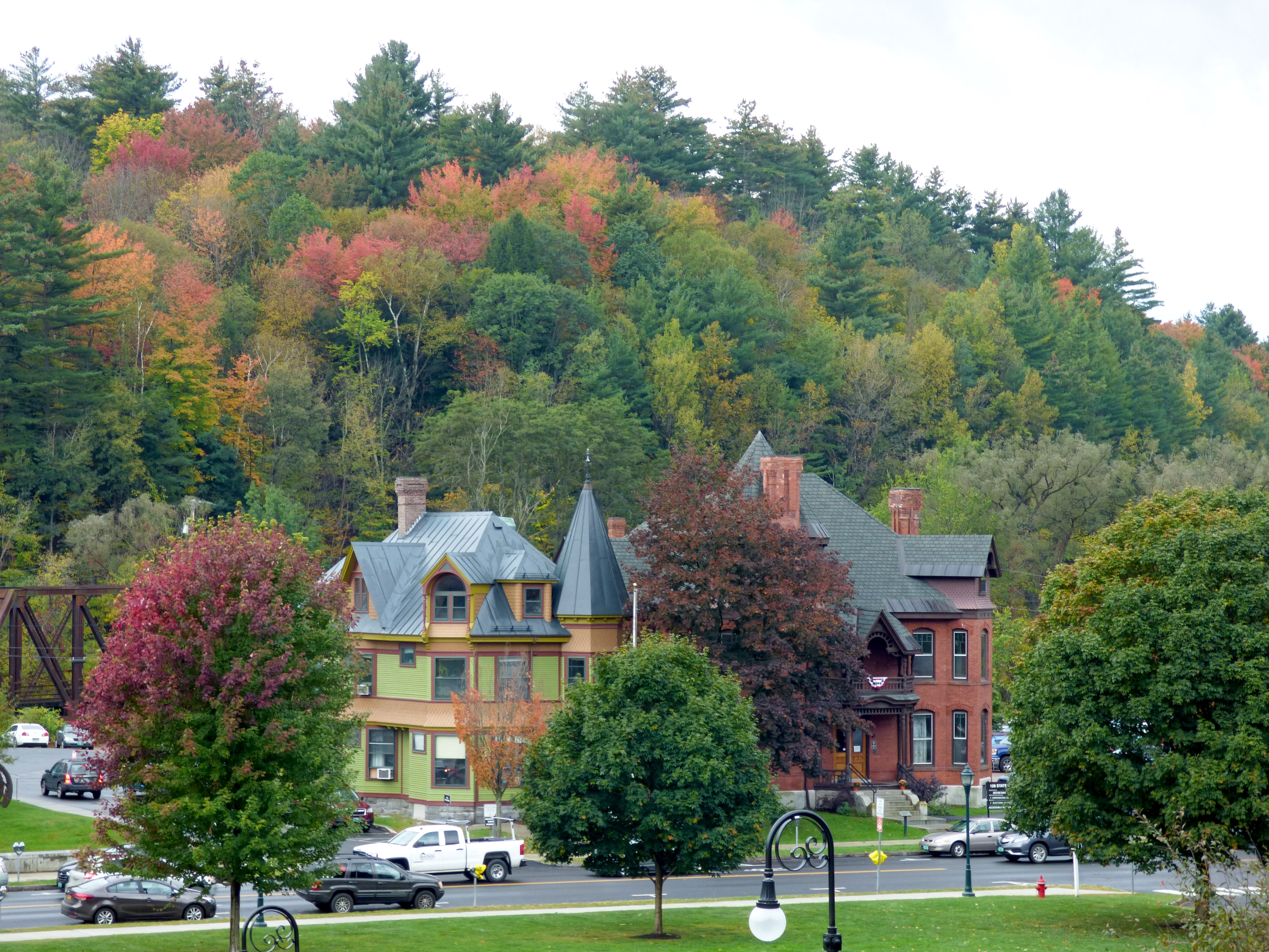
Montpelier, VT, State House view (2)
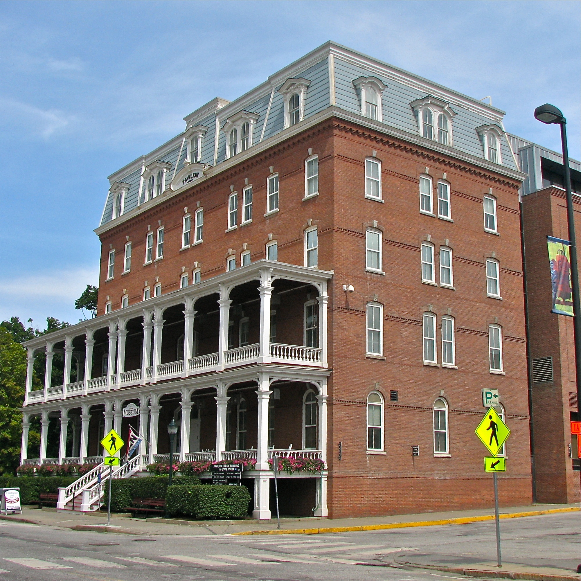
Pavilion Office Building
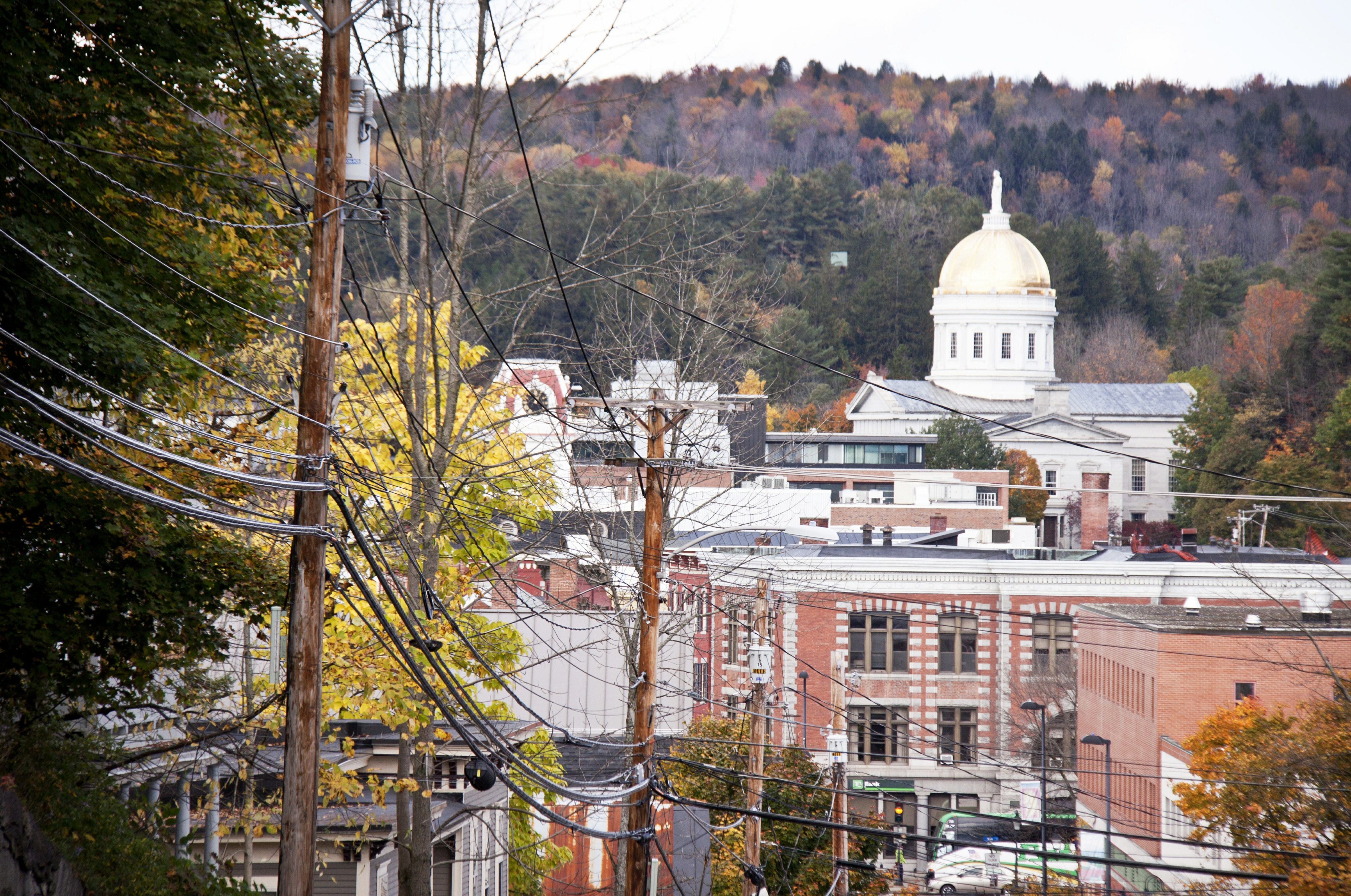
View on Montpelier
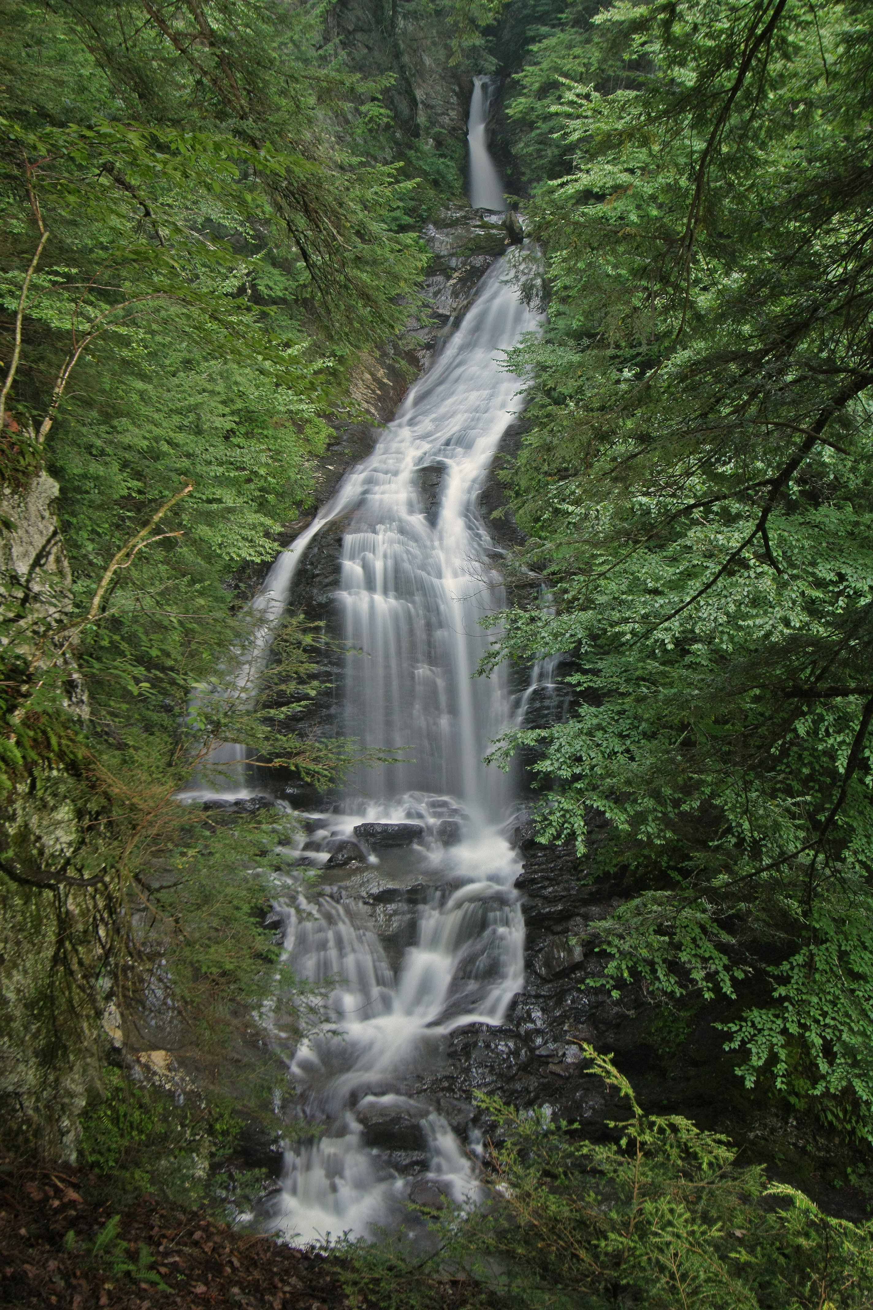
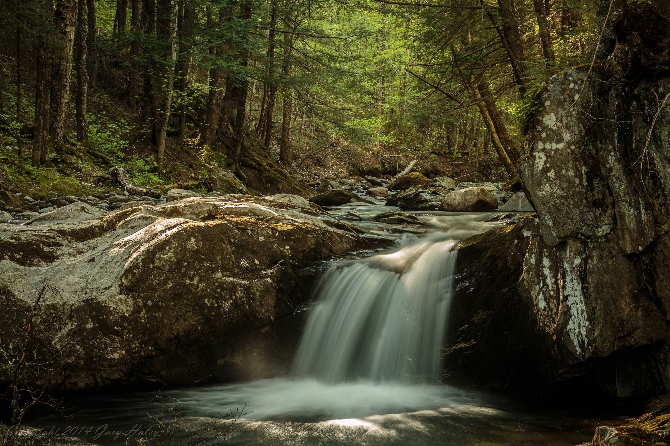
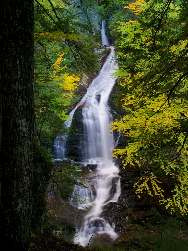
Moss Glen Falls (near Stowe, VT)

Moss Glen Falls
Moss Glen Falls, Moss Glen Brook, C.C. Putnam State Forest, Burt Hollow Unit, Moss Glen Falls Natural Area, Lamoille County, Vermont 1
onion-river-montpelier-sm
Montpelier Sunset

stuffed • catamount
capitol • outlook

Greenwood Lake Foliage
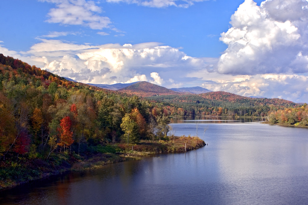
Wrightsville in Autumn

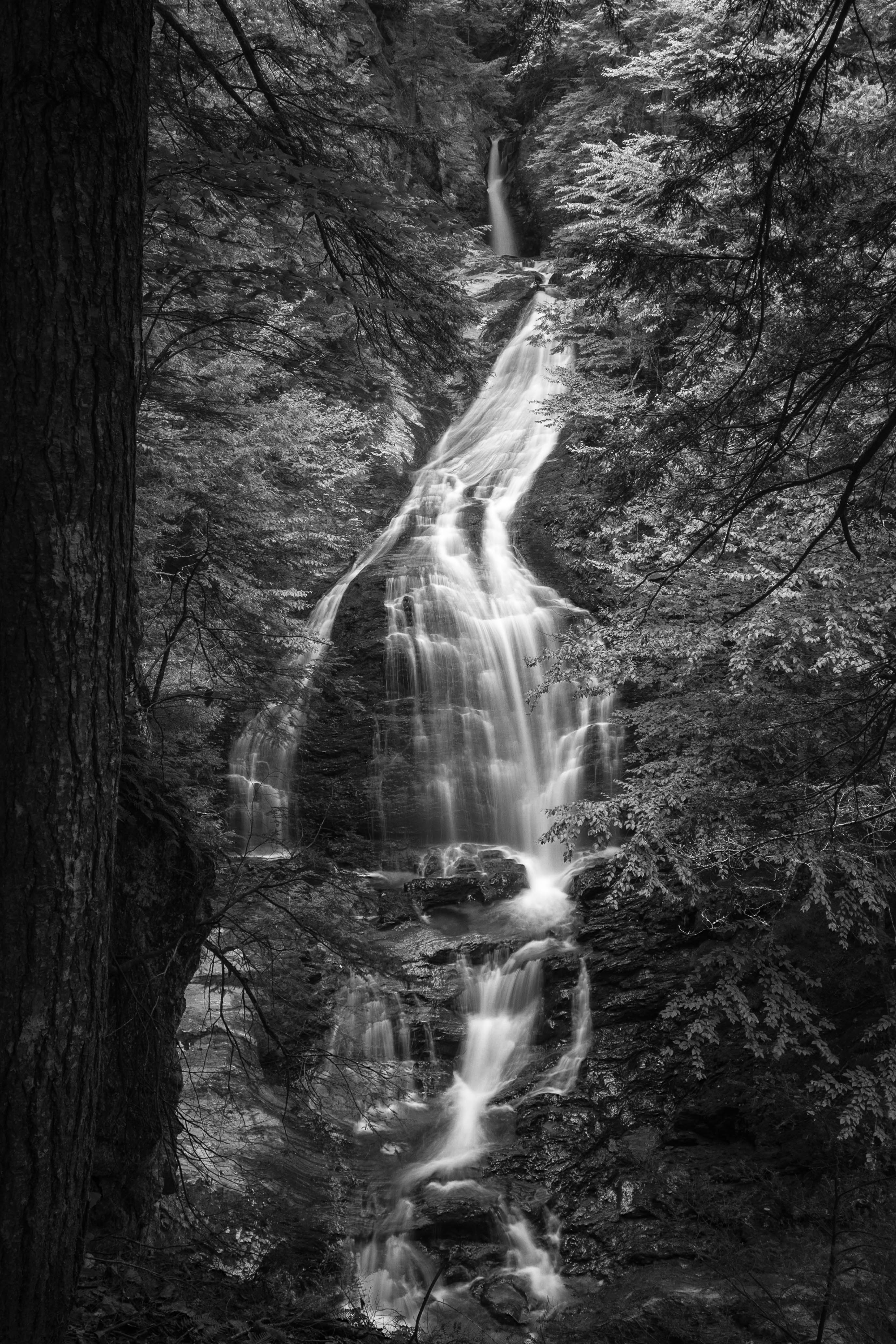
Moss Glen Falls in Stowe
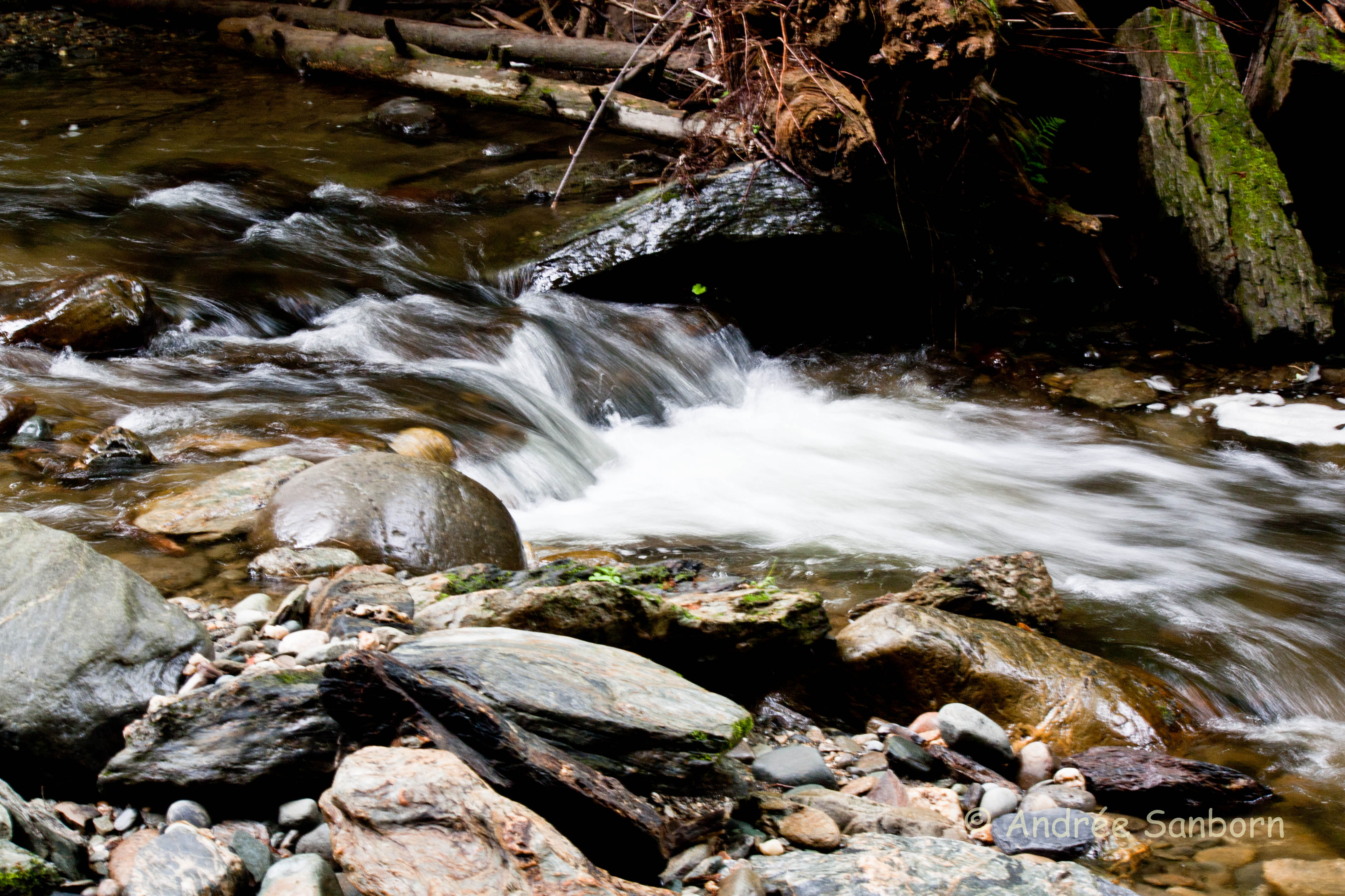
Little Falls
Edge of Life

Color Cascade

Gloomy Autumn Day

The Red Barn
Vermont -- Moss Glen Falls near Stowe, VT (film)
VT_Waterfalls-1351
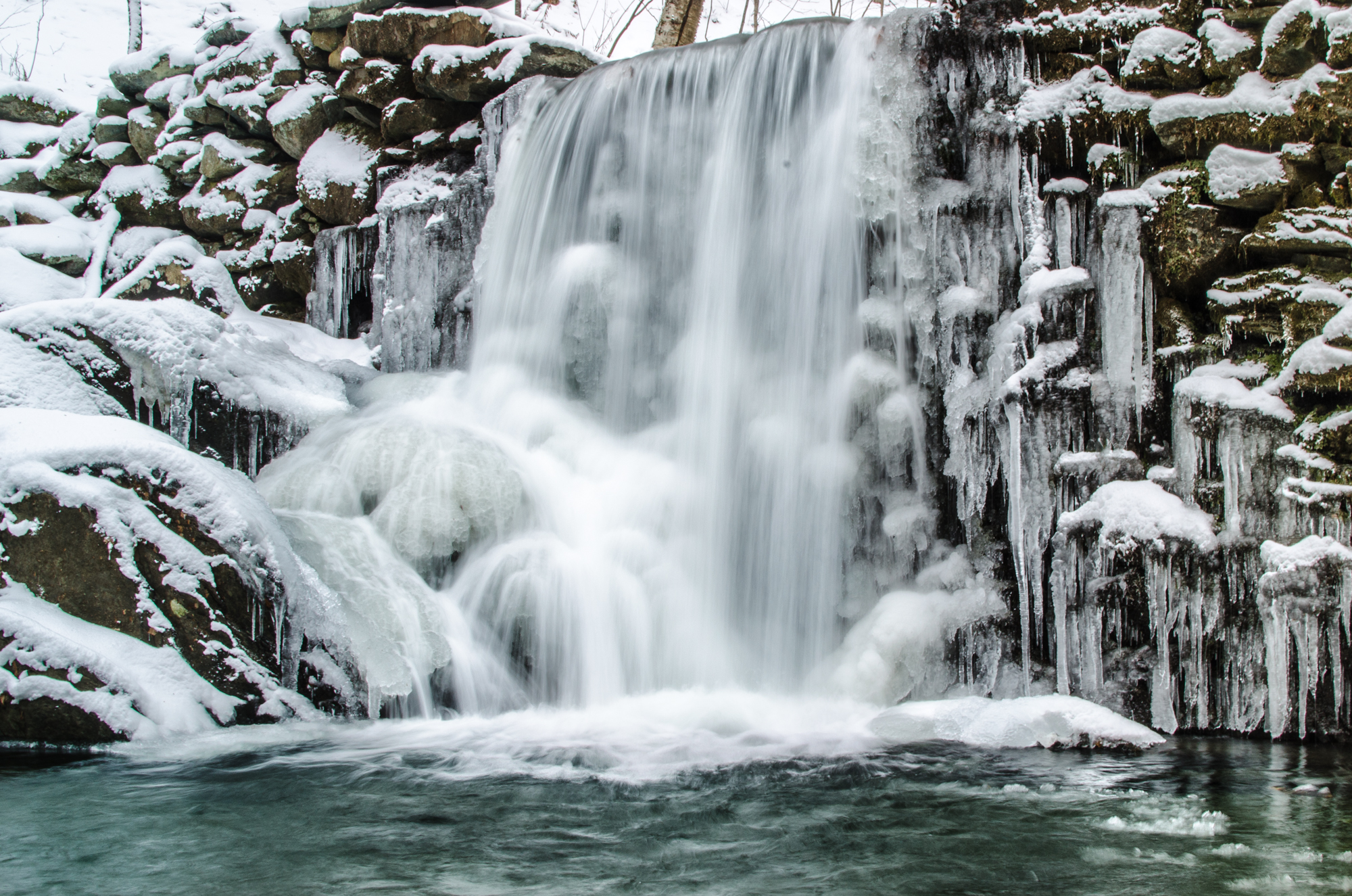
Winter Waterfall

Another Moss Glen Falls shot from earlier in the week. #vermont #waterfalls #newengland

Fritillary Butterfly on Joe Pye Weed
Moss Glen Falls

VT_Waterfalls-1358
A bit of pre-dawn magic
Moss Glen Brook, Stowe, VT-13-1.jpg
Moss Glen Falls

The clouds lift, finally
Topographic Map of Collar Hill Rd, Worcester, VT, USA
Find elevation by address:

Places near Collar Hill Rd, Worcester, VT, USA:
530 Collar Hill Rd
Collar Hill Road
Worcester Road
418 Worcester Rd
Maple Corner Store
Maple Corner
101 Harris Hill Rd
945 Long Meadow Hill Rd
Bliss Pond
761 Bliss Pond Rd
7874 County Rd
Dugar Road
60 Gould Hill Rd
Worcester
2459 W County Rd
1525 Singleton Rd
1675 Singleton Rd
55 Worcester Village Rd
63 Worcester Village Rd
Long Meadow Hill
Recent Searches:
- Elevation of Corso Fratelli Cairoli, 35, Macerata MC, Italy
- Elevation of Tallevast Rd, Sarasota, FL, USA
- Elevation of 4th St E, Sonoma, CA, USA
- Elevation of Black Hollow Rd, Pennsdale, PA, USA
- Elevation of Oakland Ave, Williamsport, PA, USA
- Elevation of Pedrógão Grande, Portugal
- Elevation of Klee Dr, Martinsburg, WV, USA
- Elevation of Via Roma, Pieranica CR, Italy
- Elevation of Tavkvetili Mountain, Georgia
- Elevation of Hartfords Bluff Cir, Mt Pleasant, SC, USA