Elevation of Long Meadow Hill Rd, Adamant, VT, USA

Location: United States > Vermont > Washington County > Calais > Adamant >

Longitude: -72.526184

Latitude: 44.357033

Elevation: 502m / 1647feet

Barometric Pressure: 95KPa

Elevation Map:

elevation map of Long Meadow Hill Rd, Adamant, VT, USA

Satellite Map:

Satellite map of Long Meadow Hill Rd, Adamant, VT, USA

Related Photos:

48states 48statesin48days capitol lightinthisworld montpelier nikon roadtrip sanjosephotographer vermont architecture building d800 nikond800 travel vt
Day 30: Vermont
vermont landscape water reflection clouds
Wrightsville Reservoir
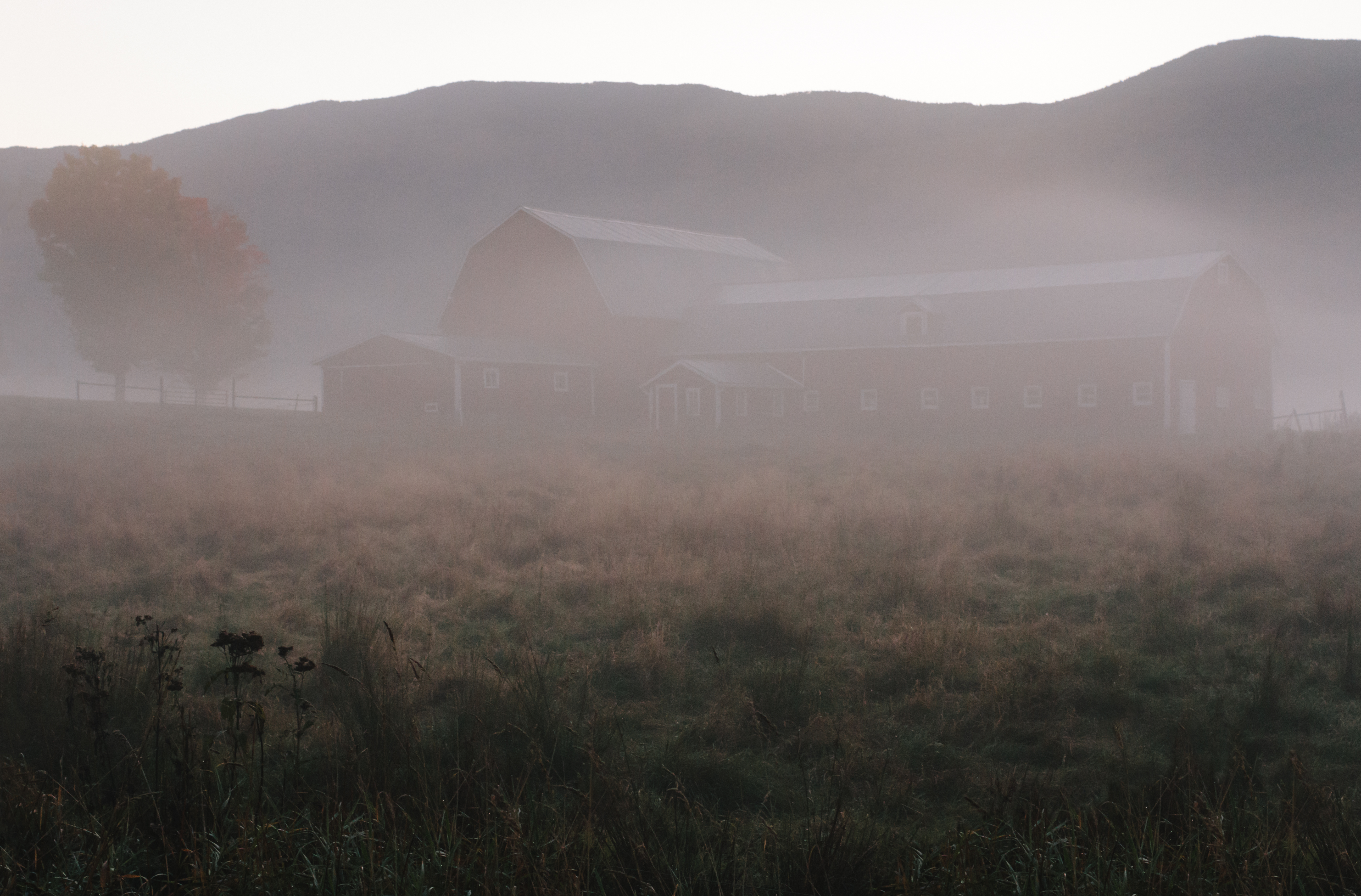
stowe vermont newengland winter barn snow road fields
Grand View Farm
usa architecture square vermont columns lobby photowalk marble sq checkerboard 2009 vt montpelier ionic capitolbuilding fluted washingtoncounty origamidon donshall montpeliervermontusa worldwidephotowalk batseyeview lobby•columns
lobby • columns
mossglenfalls mossglenfallsnaturalarea ccputnamstateforest
Moss Glen Falls, Moss Glen Brook, C.C. Putnam State Forest, Burt Hollow Unit, Moss Glen Falls Natural Area, Lamoille County, Vermont 1
school usa bus geotagged us vermont flag newengland schoolbus starsandstripes montpelier geo:lat=44259692 geo:lon=72575694
A snapshot of America
autumn fall river waterfall vermont falls worcester
Worcester Waterfall
usa vermont unitedstates
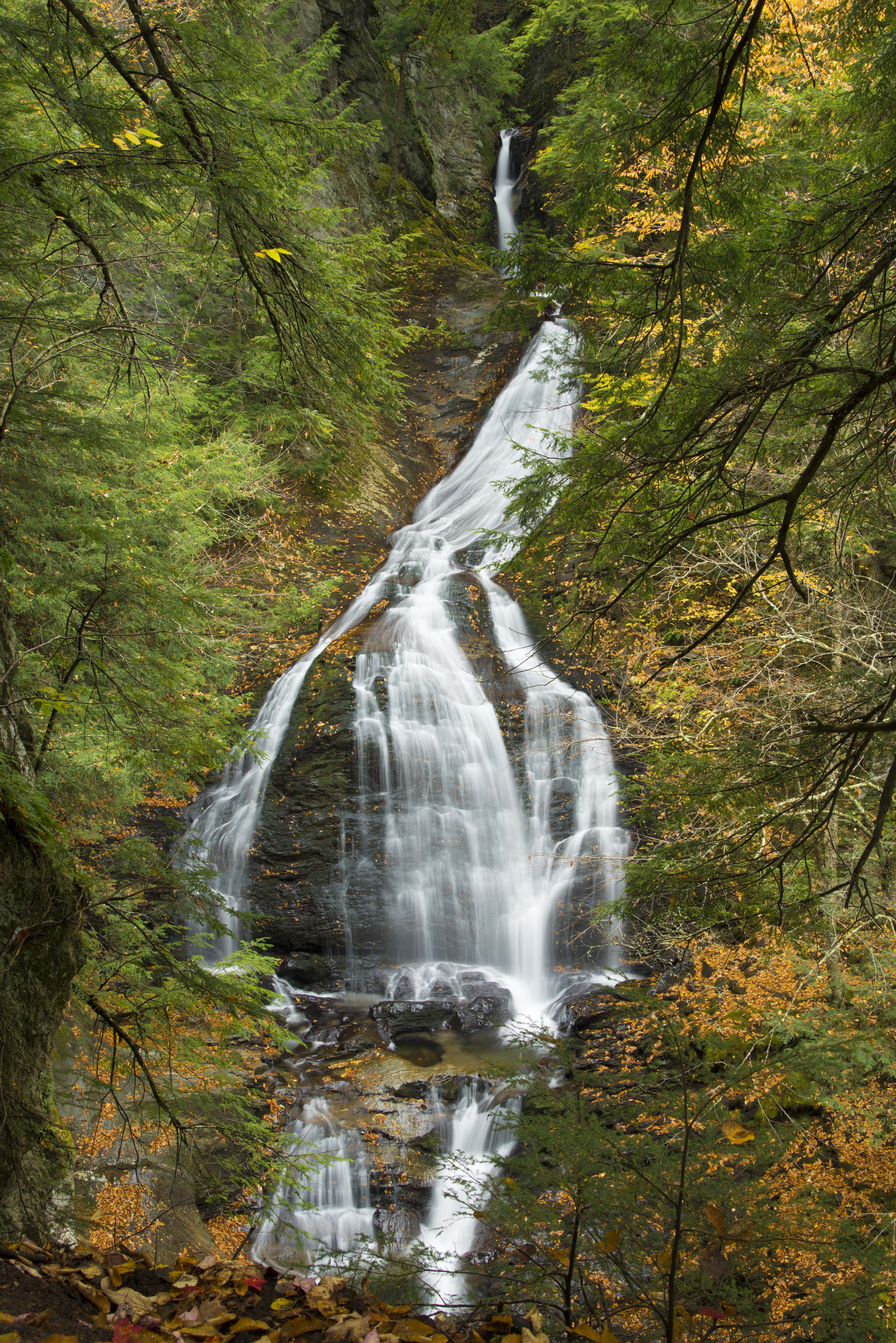
Moss Glen Falls in Stowe
Northern Hawk Owl, Waterbury Center, VT 12/21/13
light storm clouds landscape countryside pond vermont view birch approaching
Before the First Snow
autumn vermont stowe mossglenfalls october2010
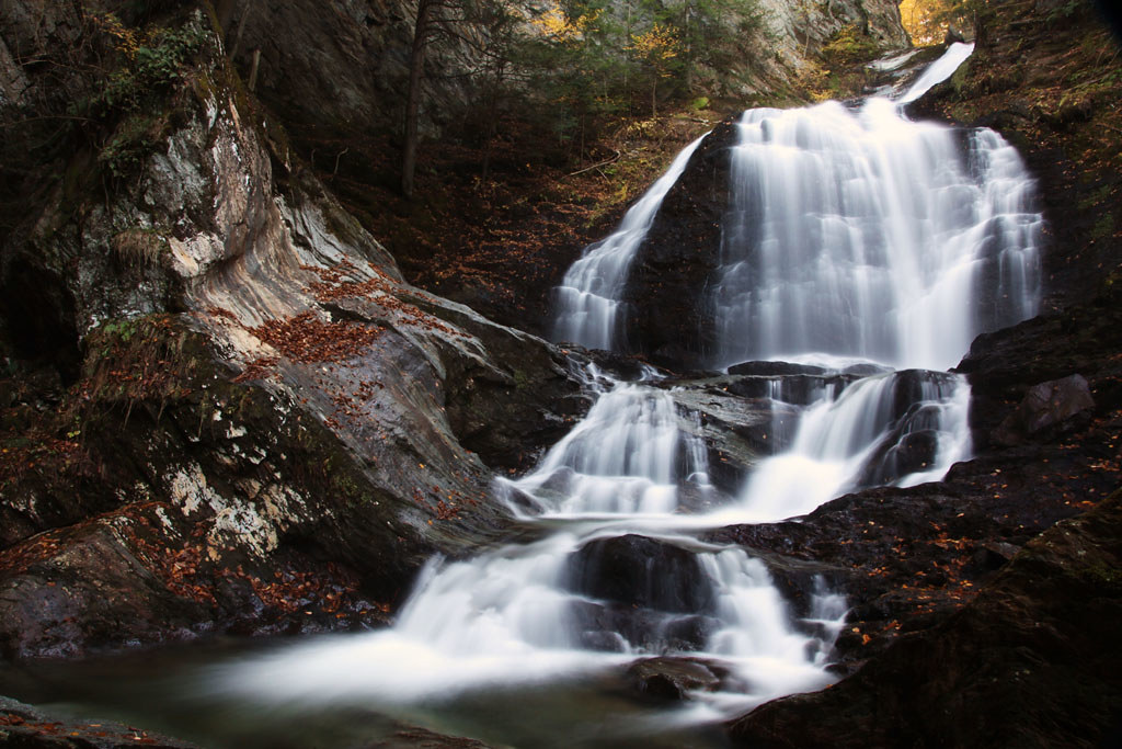
Moss Glen Falls (Stowe)
usa window architecture square vermont cone walkway photowalk outlook sq 2009 vt montpelier capitolbuilding lookingout washingtoncounty cutstone origamidon donshall montpeliervermontusa worldwidephotowalk capitol•outlook
capitol • outlook
Northern Hawk Owl, Waterbury Center, VT 12/21/13
usa brick museum architecture vermont columns veranda porch 1978 vt vhs montpelier 2010 historicdistrict groundshot washingtoncounty nationalregisterofhistoricplaces roundarch vermonthistoricalsociety capitolgrounds nrhp mouseeye origamidon donshall montpeliervermontusa worldwidephotowalk 2storyveranda vermonthistoricalsocietymuseum 109statestreet montpelierhistoricdistrict 78000246 pavilionofficebuilding mouseeye•view
mouse-eye • view
usa brick museum architecture square vermont columns veranda 1978 sq vt vhs montpelier 2010 historicdistrict flowerboxes washingtoncounty nationalregisterofhistoricplaces roundarch vermonthistoricalsociety capitolgrounds nrhp origamidon donshall montpeliervermontusa worldwidephotowalk 2storyveranda vermonthistoricalsocietymuseum columns•flowerboxes 109statestreet montpelierhistoricdistrict 78000246 pavilionofficebuilding
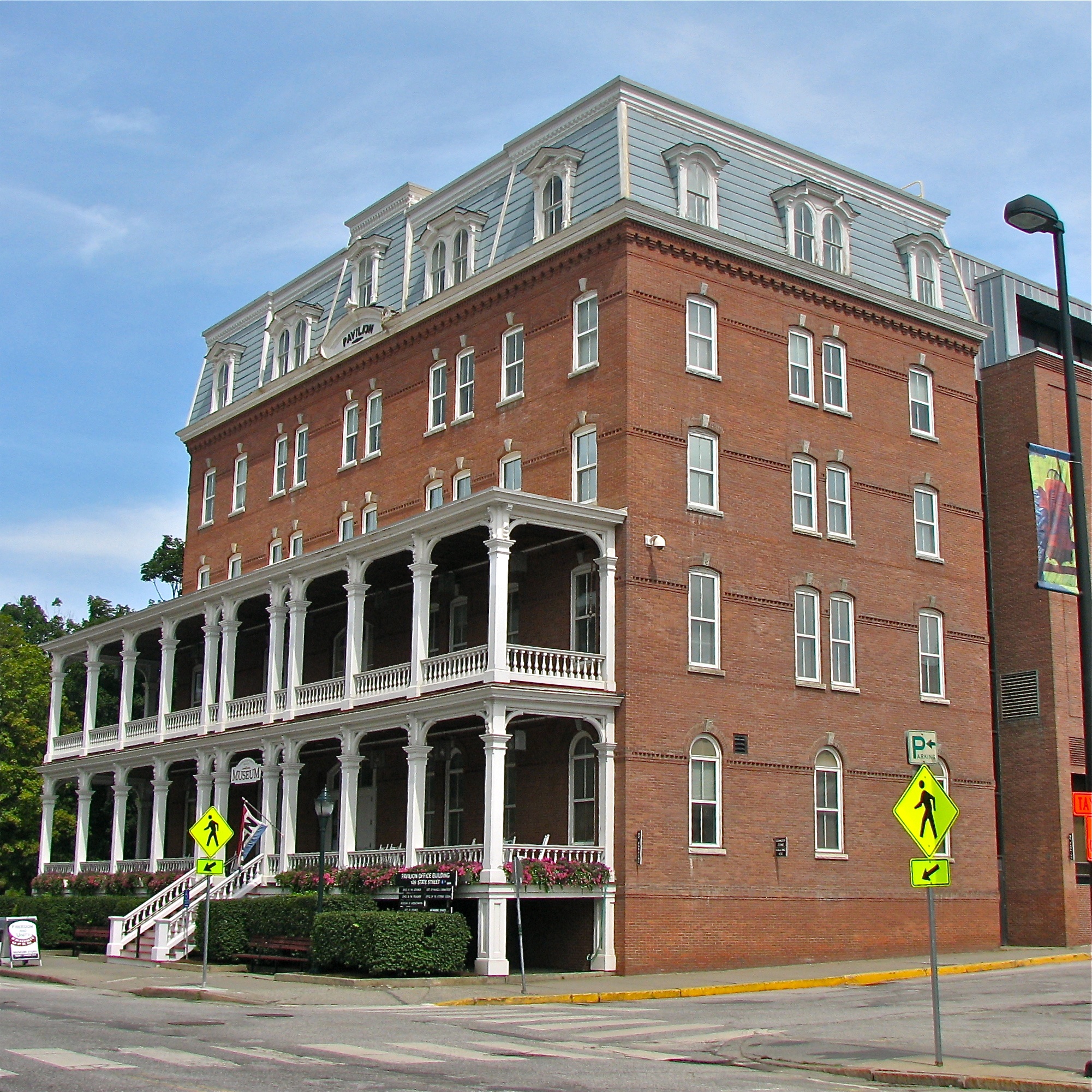
Pavilion Office Building
usa museum architecture vermont veranda 1978 2009 vt vhs montpelier historicdistrict washingtoncounty nationalregisterofhistoricplaces vermonthistoricalsociety capitolgrounds nrhp origamidon donshall montpeliervermontusa worldwidephotowalk columned•view 2storyveranda vermonthistoricalsocietymuseum 109statestreet montpelierhistoricdistrict 78000246 pavilionofficebuilding
columned • view
usa brick museum architecture vermont columns veranda 1978 2009 vt vhs montpelier historicdistrict flowerboxes washingtoncounty nationalregisterofhistoricplaces roundarch vermonthistoricalsociety capitolgrounds nrhp origamidon donshall montpeliervermontusa worldwidephotowalk 2storyveranda vermonthistoricalsocietymuseum columns•flowerboxes 109statestreet montpelierhistoricdistrict 78000246 pavilionofficebuilding
columns • flower.boxes
Northern Hawk Owl, Waterbury Center, VT 12/21/13
road pink trees sunset sky panorama grass clouds barn vermont montpelier
Montpelier Sunset
usa church architecture mainstreet vermont unitarianchurch vt montpelier historicdistrict washingtoncounty italianrenaissance italianrenaissancestyle origamidon donshall montpeliervermontusa thomassilloway buryingtheoverheadlinesinhistoricdistricts buryingtheoverheadlines buryoverheadlines unitarianchurchofmontpelier
Unitarian Church of Montpelier (1866) – cluttered view
summer cloud mountain lake mountains reflection beach water clouds reflections coast spring pond haze vermont waves view hiking ripple wave hike clear shore summit vista coastline ripples stowe hazy cairn vt camelshump mansfield pristine
Hidden Paradise
longexposure trees sunlight motion green nature water rock stone pine landscape flow waterfall moss movement stream vermont natural falls pines gorge geology stowe polarizer greenstone bedrock schist lamoille mossglenfalls mossglenbrook
Edge of Life
greenstone lamoille mossglenfalls schist stowe vermont branches canyon crossing current fallen flow geology gorge landscape light liquid longexposure motion natural nature polarizer rock roots stone stream trees water waterfall unitedstates us
Cross Current
autumn landscape water mountains mountmarshfield aerial fall orange red pond drone dji vermont phantom4 fallcolors foliage turtlehead groton marshfield unitedstates us
Fall above it all
new wood travel bridge england fall water gold nikon stream long exposure vermont angle ryan wide covered brook 5100 stowe vt grennan d5100 rwgrennan rgrennan
Gold Brook Covered Bridge - Explore
longexposure autumn light fall nature water waterfall vermont newengland foliage stowe chasinglight
Moss Glen Falls
landscape road trees snow winter wonderland cold weather nature highway newengland berlin vermont vt unitedstatesofamerica usa america samsunggalaxys7 galaxys7 explored fav10 fav25 fav50 fav100
Too Early
2018 amtrak berlin canon canon5dmarkiv canonef2470mmf28liiusm davetrono junctionroad mpr montpelier montpelierjunction montpelierstation montpelierberlinstation newengland vt vermont vermonter vermonterline winooskiriver autumn autumncolors bridge depot fall fallcolors fallfoliage fog foliage geotagged hills ironbridge landscape railstation railroad railroadbridge railroadstation railroadtrack track train trainstation traintrack tree locomotive necr bird station
Montpelier Junction, Vermont
waterfall water fall vt stowe mossglenn mossglennfalls sony sonya7ii a7ii batis flow wet wide 18mm batis2818
Moss Glen Falls
emilysbridge coveredbridge bridge landscape nature autumn fall foliage october harvest colorful naturephotography historic history road stowe waterburycenter vermont vt unitedstatesofamerica usa america nikon d610 nikkor 2018g fav10 fav25 fav50
Emily's Bridge
autumn countryside landscape season nature city aerial traffic road trees maple drone lamoillecounty vermont travel america northamerica wolcott colors fallcolours unitedstates foliage birdseye plants fall theunitedstatesofamerica us usa unitedstatesofamerica countryroad
???? in Vermont
bridge train traintracks landscape winter snow cold weather contrast nikon d610 nikkor 70200f4vr montpelier berlin vermont vt unitedstatesofamerica usa america railroad fav10 fav25
It's water under the bridge
2015 canon canon6d canonef24105mmf4lisusm davetrono emilysbridge goldbrook goldbrookcoveredbridge nationalregisterofhistoricplaces newengland spring stowe stowehollowbridge vermont bridge coveredbridge haunted hauntedbridge landscape paranormal ghost apparition geotagged
Haunted Bridge in Stowe
autumn mountains fall nature fog architecture barn landscape vermont newengland waterbury chasingfog
A bit of pre-dawn magic
falls waterfall vermont nature water stowe mossglenbrook flowingwater greenmountains mossglenfalls canoneos60d unitedstates us
Moss Glen Falls, Stowe, Vermont, 2014
nikon vermont marshfield winooskiriver martincoveredbridge d800e
Winooski River Marshfield Vermont
autumn usa lake reflection fall nature water nikon vermont greenwood foliage vt btv woodbury d610 fav10 2485vr
Greenwood Lake Foliage
2485vr autumn btv d610 fall nature vt nikon foliage vermont landscape field gold corn
Field of Gold
autumn sky fall nature field clouds landscape maple nikon vermont farm foliage calais vt cirrus corners btv d610 2485vr
Calais Vermont Foliage
road autumn fall nature landscape nikon vermont foliage dirt templeton rd vt montpelier btv d610 2485vr
Templeton Rd Foliage