Elevation of Lois Lane, Lois Ln, Central Kootenay H, BC V0G 2J0, Canada
Location: Canada > British Columbia > Central Kootenay > Central Kootenay H > Winlaw >
Longitude: -117.54747
Latitude: 49.6433739
Elevation: 562m / 1844feet
Barometric Pressure: 95KPa
Elevation Map:
Satellite Map:
Related Photos:

Slocan City

Slocan River (BC) - (Image 2)

Slocan River (BC) - (Image 3)

Ski day

CartsThis Way

Gorgeous view

First visit to the chalets.

Trippin'

Slocan River

Slocan River

Slocan River

End of the Lake

Slocan River

Slocan River

Slocan Lake

Slocan River
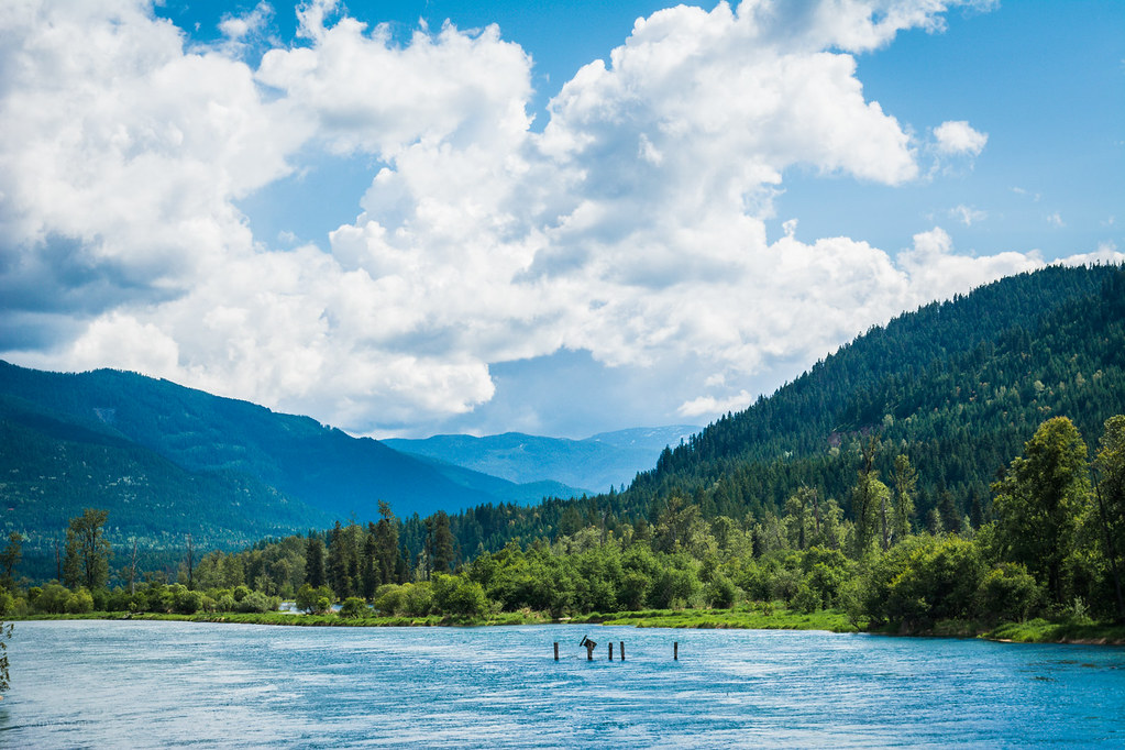
Slocan River
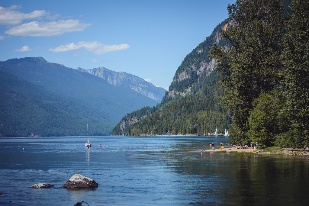
Slocan Lake

Slocan Lake

Slocan River

Slocan 122

Slocan Lake
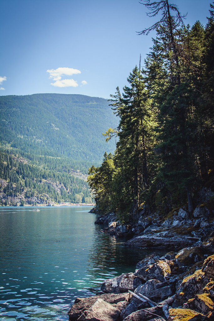
Slocan Lake
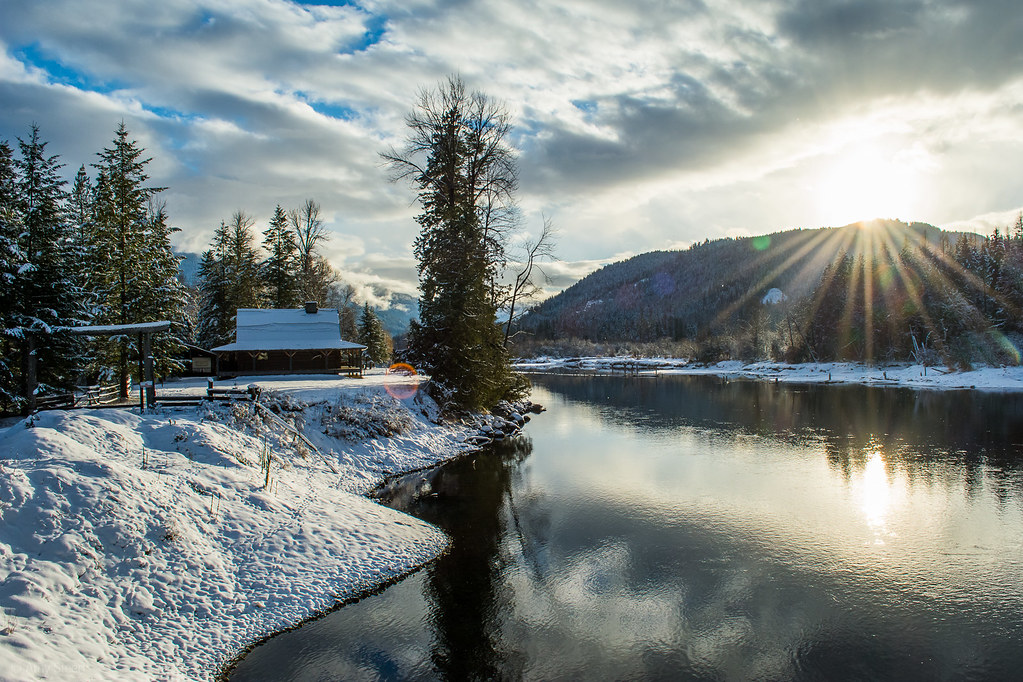
Slocan River

Slocan Lake

Carpenter Creek near Sandon, British Columbia

Slocan Lake
Slocan River
Topographic Map of Lois Lane, Lois Ln, Central Kootenay H, BC V0G 2J0, Canada
Find elevation by address:

Places near Lois Lane, Lois Ln, Central Kootenay H, BC V0G 2J0, Canada:
Appledale
Lancaster Road
6778 Katelnikoff Rd
5709 Bc-6
Winlaw
Bentley Road
Avis Road
5507 Kazakoff Rd
Rooster Road
4412 Slocan River Rd
4820 Bc-6
4830 Bc-6
4192 Slocan River Rd
8578 Bc-6
Slocan River Rd, Winlaw, BC V0G 2J0, Canada
Slocan
Passmore Lower Road
3064 Upper Slocan Park Rd
714 Main St
Passmore
Recent Searches:
- Elevation of Corso Fratelli Cairoli, 35, Macerata MC, Italy
- Elevation of Tallevast Rd, Sarasota, FL, USA
- Elevation of 4th St E, Sonoma, CA, USA
- Elevation of Black Hollow Rd, Pennsdale, PA, USA
- Elevation of Oakland Ave, Williamsport, PA, USA
- Elevation of Pedrógão Grande, Portugal
- Elevation of Klee Dr, Martinsburg, WV, USA
- Elevation of Via Roma, Pieranica CR, Italy
- Elevation of Tavkvetili Mountain, Georgia
- Elevation of Hartfords Bluff Cir, Mt Pleasant, SC, USA