Elevation of Passmore, BC V0G 2E0, Canada
Location: Canada > British Columbia > Central Kootenay > Central Kootenay H >
Longitude: -117.64418
Latitude: 49.537594
Elevation: 492m / 1614feet
Barometric Pressure: 96KPa
Elevation Map:
Satellite Map:
Related Photos:
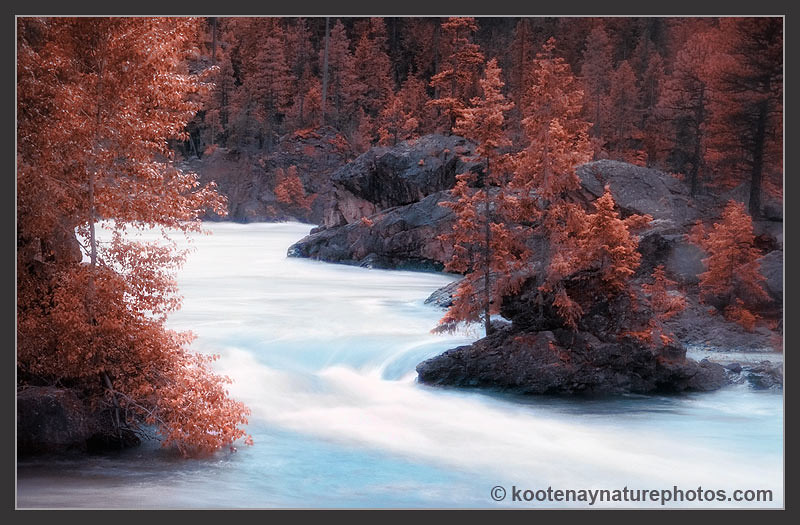
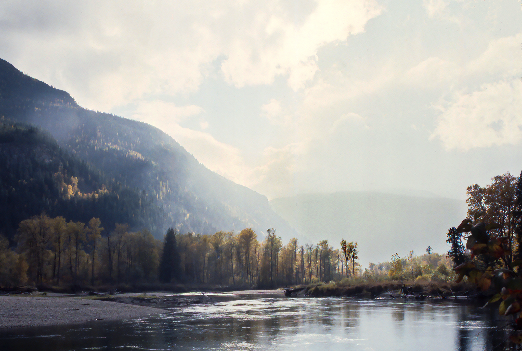
Kootenay River
2017-04-30 16-39-32
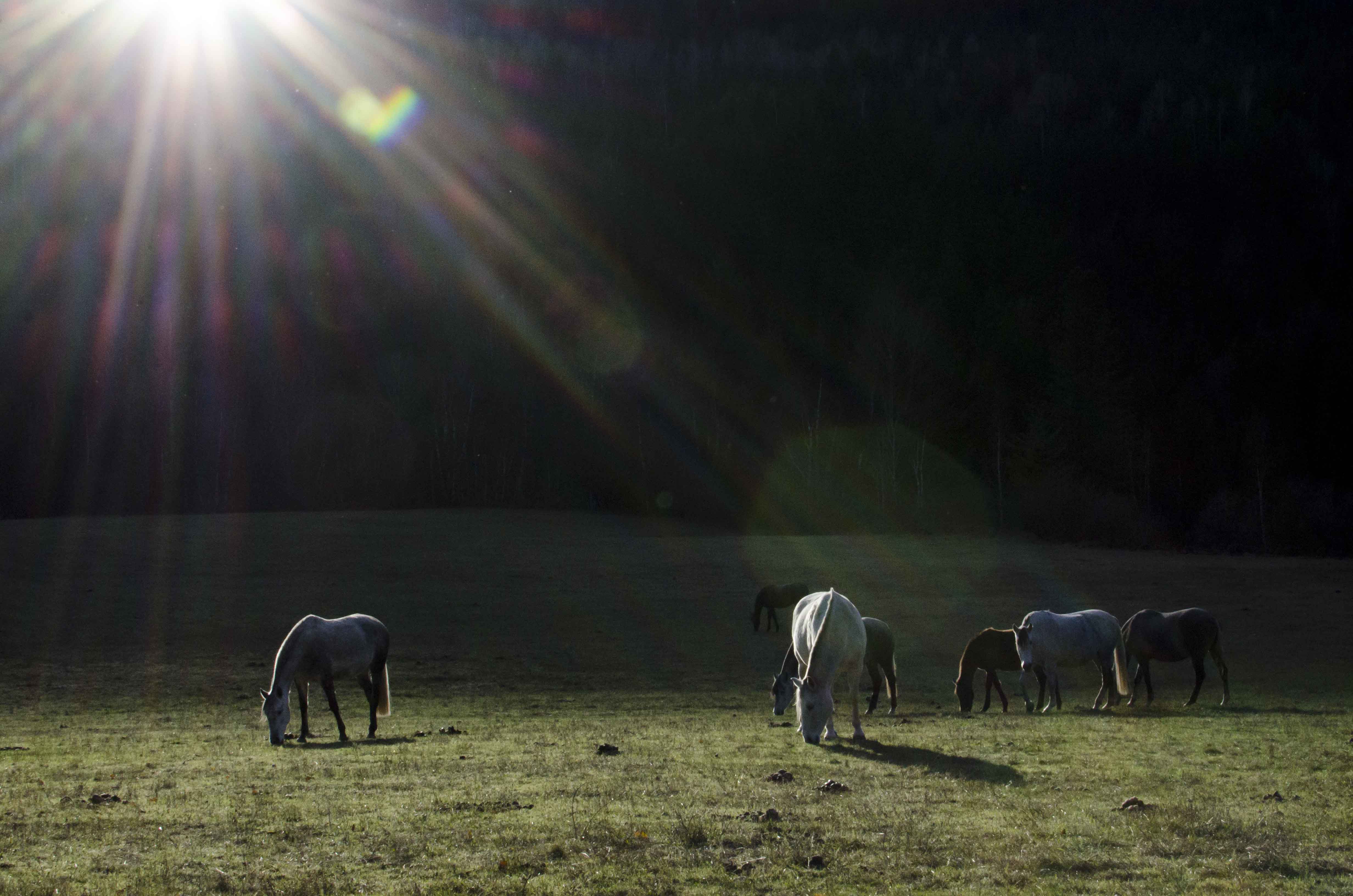
Grazing Sunflare
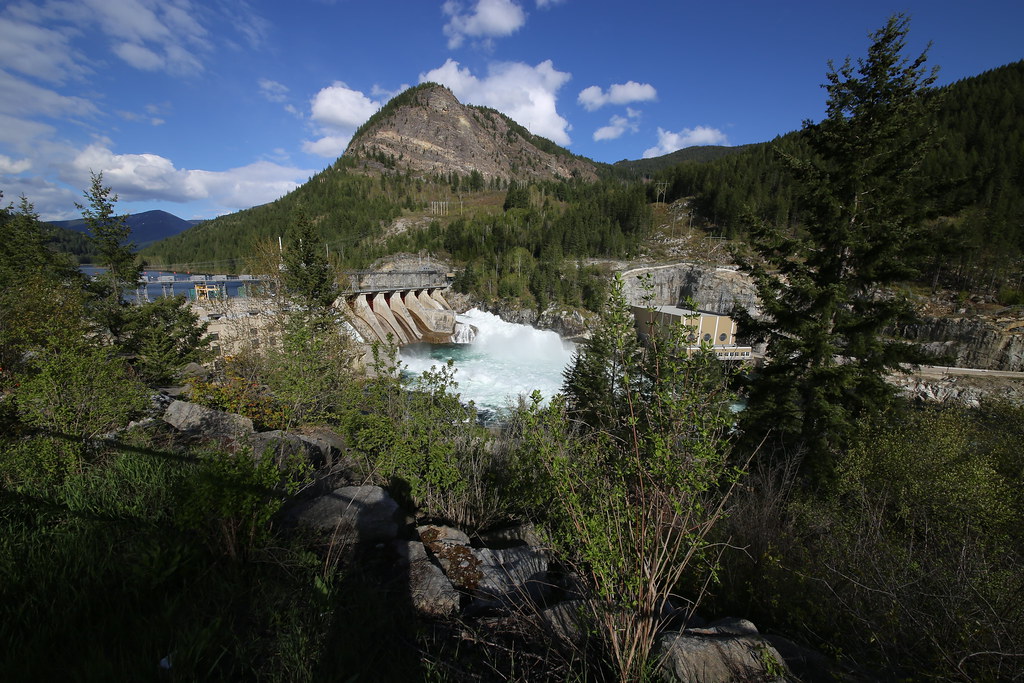
Between the Dams

2017-04-30 16-39-28

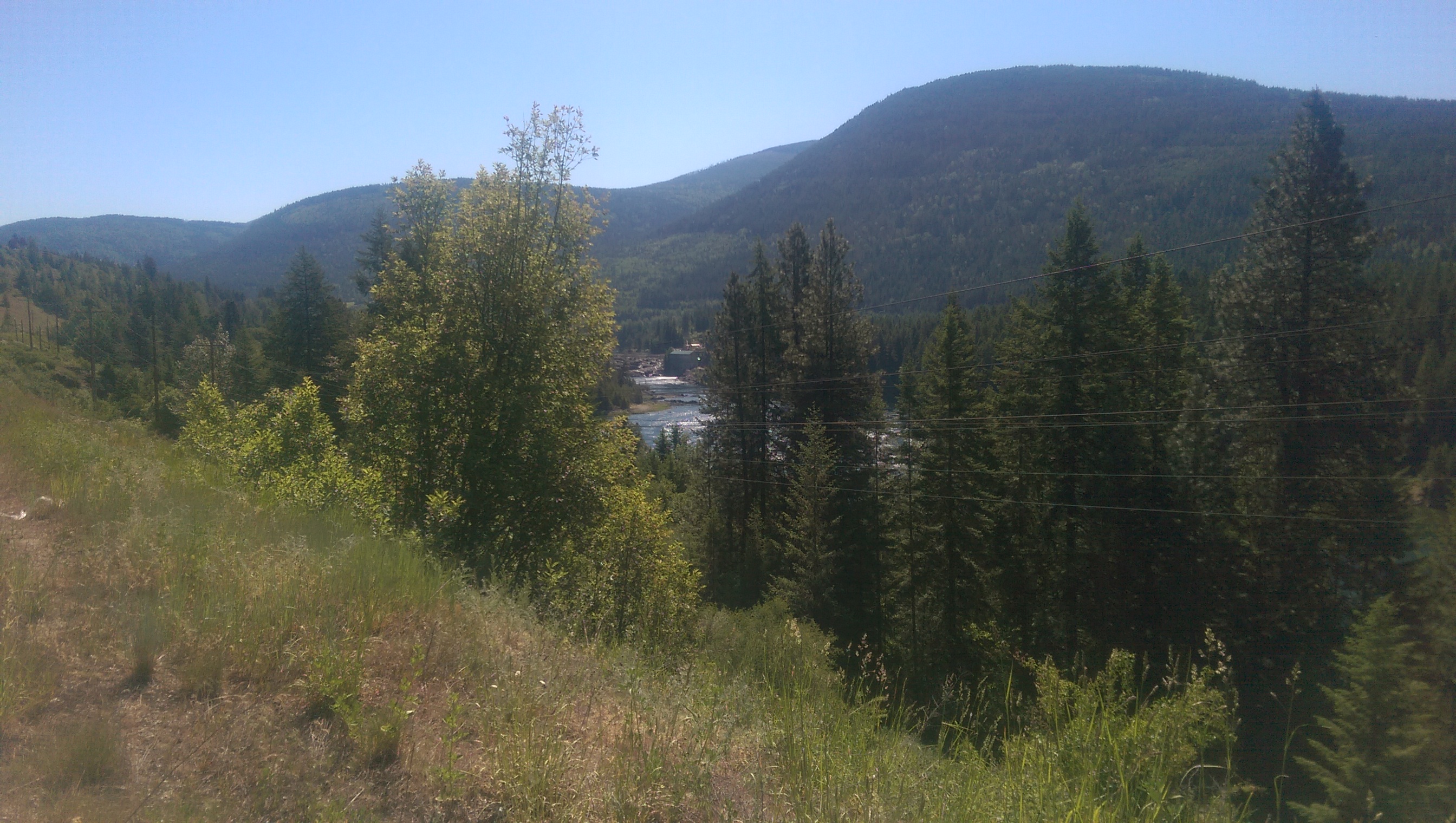
20180619_132508.jpg
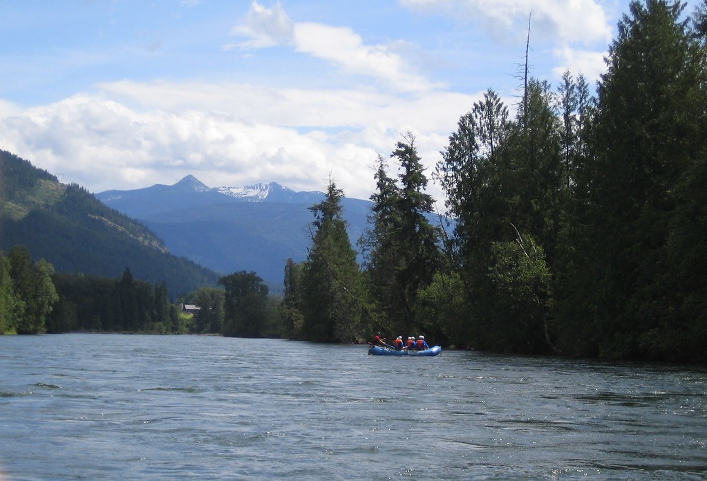
Nelson Whitewater Rafting on the Slocan River
Get on the Doc Bus
Get on the Doc Bus
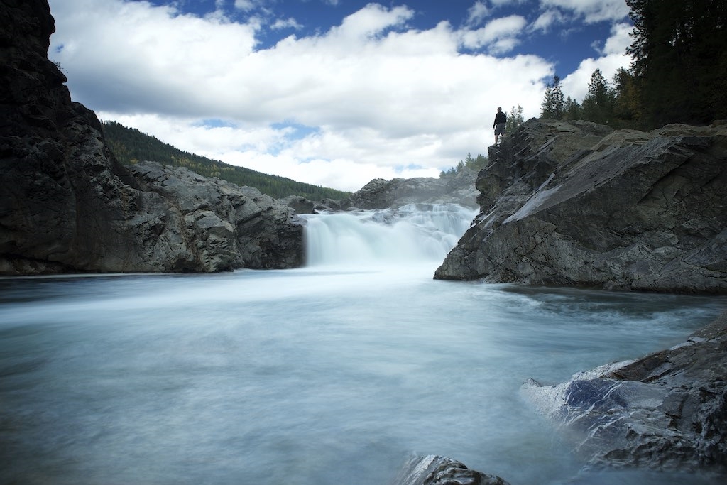
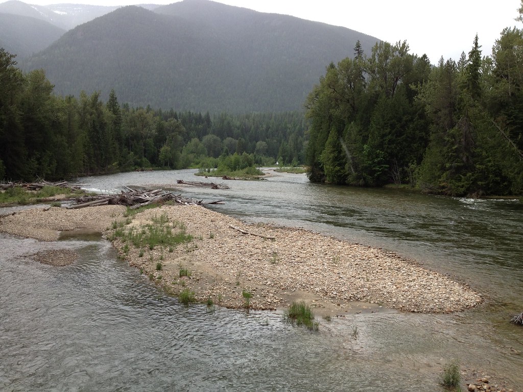
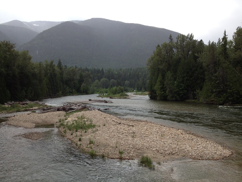
Slocan River

2015-05-19 10.09.44
2015-05-19 10.09.57
Topographic Map of Passmore, BC V0G 2E0, Canada
Find elevation by address:

Places near Passmore, BC V0G 2E0, Canada:
Passmore Lower Road
3207 Naychuk Rd
3200 Naychuk Rd
Slocan River Rd, Winlaw, BC V0G 2J0, Canada
3041 Bower Rd
3064 Upper Slocan Park Rd
Slocan Valley Co-op Gas Bar
Slocan Park
3913 Krestova Lower Rd
4321 Poplar Ridge Rd
Pine Road
3522 Gander Rd
3306 Krestova Rd
Lower Krestova Road
3248 Pass Creek Rd
3248 Pass Creek Rd
3796 Krestova Cemetery Rd
2935 Pass Creek Rd
2935 Pass Creek Rd
Goose Creek Road
Recent Searches:
- Elevation of Corso Fratelli Cairoli, 35, Macerata MC, Italy
- Elevation of Tallevast Rd, Sarasota, FL, USA
- Elevation of 4th St E, Sonoma, CA, USA
- Elevation of Black Hollow Rd, Pennsdale, PA, USA
- Elevation of Oakland Ave, Williamsport, PA, USA
- Elevation of Pedrógão Grande, Portugal
- Elevation of Klee Dr, Martinsburg, WV, USA
- Elevation of Via Roma, Pieranica CR, Italy
- Elevation of Tavkvetili Mountain, Georgia
- Elevation of Hartfords Bluff Cir, Mt Pleasant, SC, USA