Elevation of Slocan, BC V0G, Canada
Location: Canada > British Columbia > Central Kootenay > Central Kootenay H >
Longitude: -117.46992
Latitude: 49.762993
Elevation: 555m / 1821feet
Barometric Pressure: 95KPa
Elevation Map:
Satellite Map:
Related Photos:
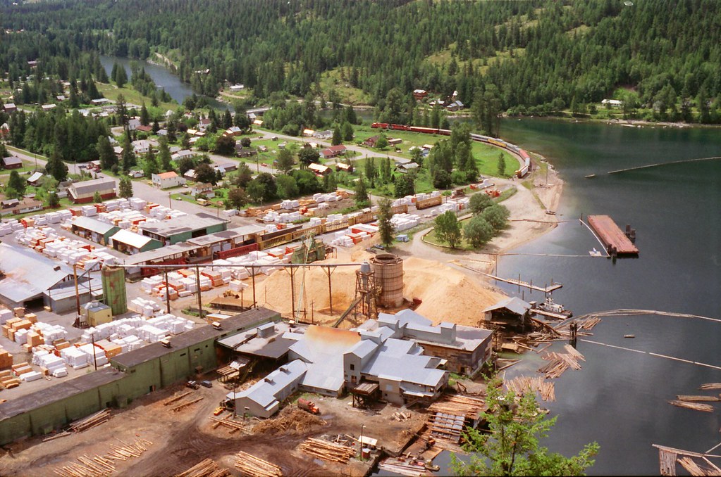
Slocan City

Ski day
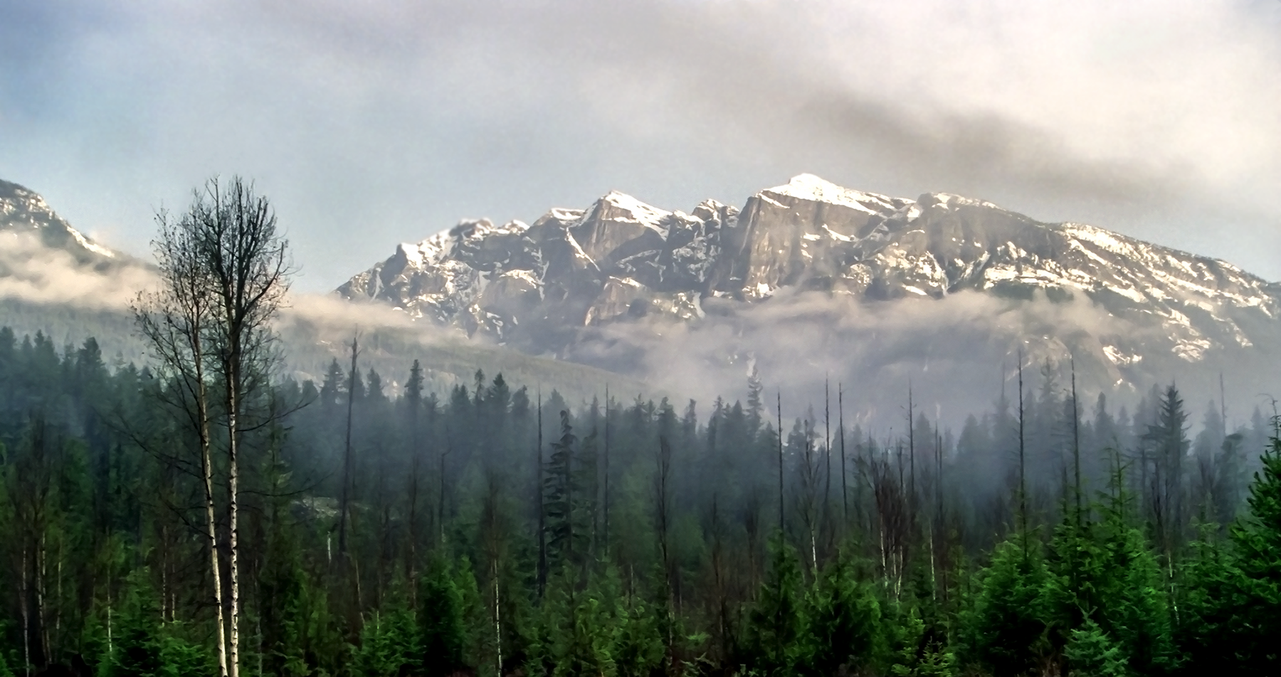
Postcard Mountain
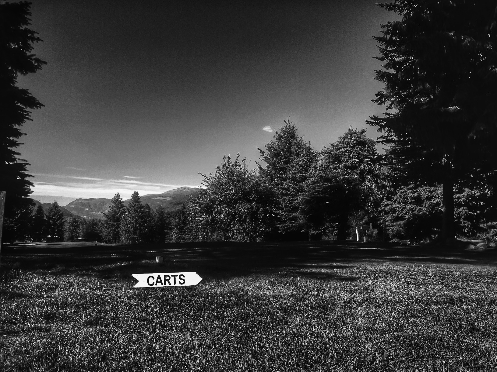
CartsThis Way

scenic stop view

Positive Negative Space
The view from my window

Trippin'

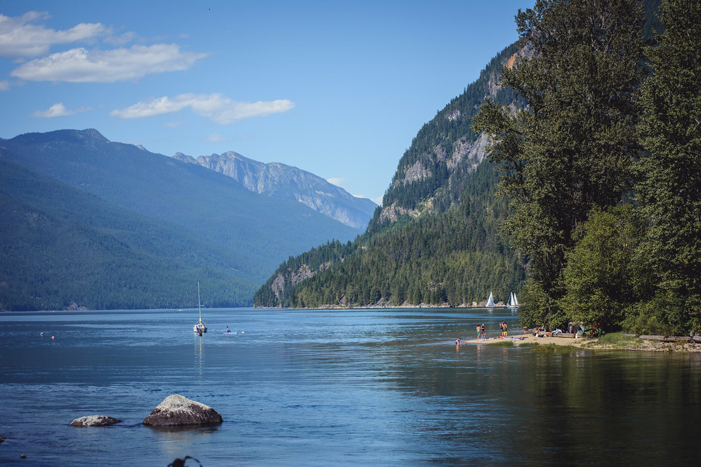
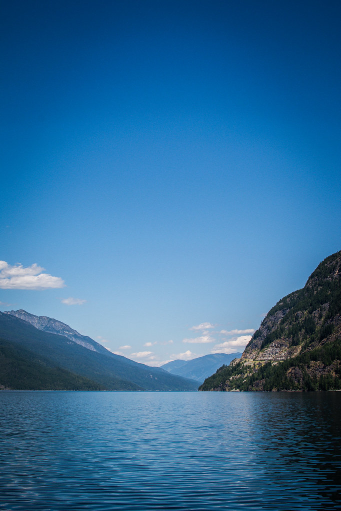
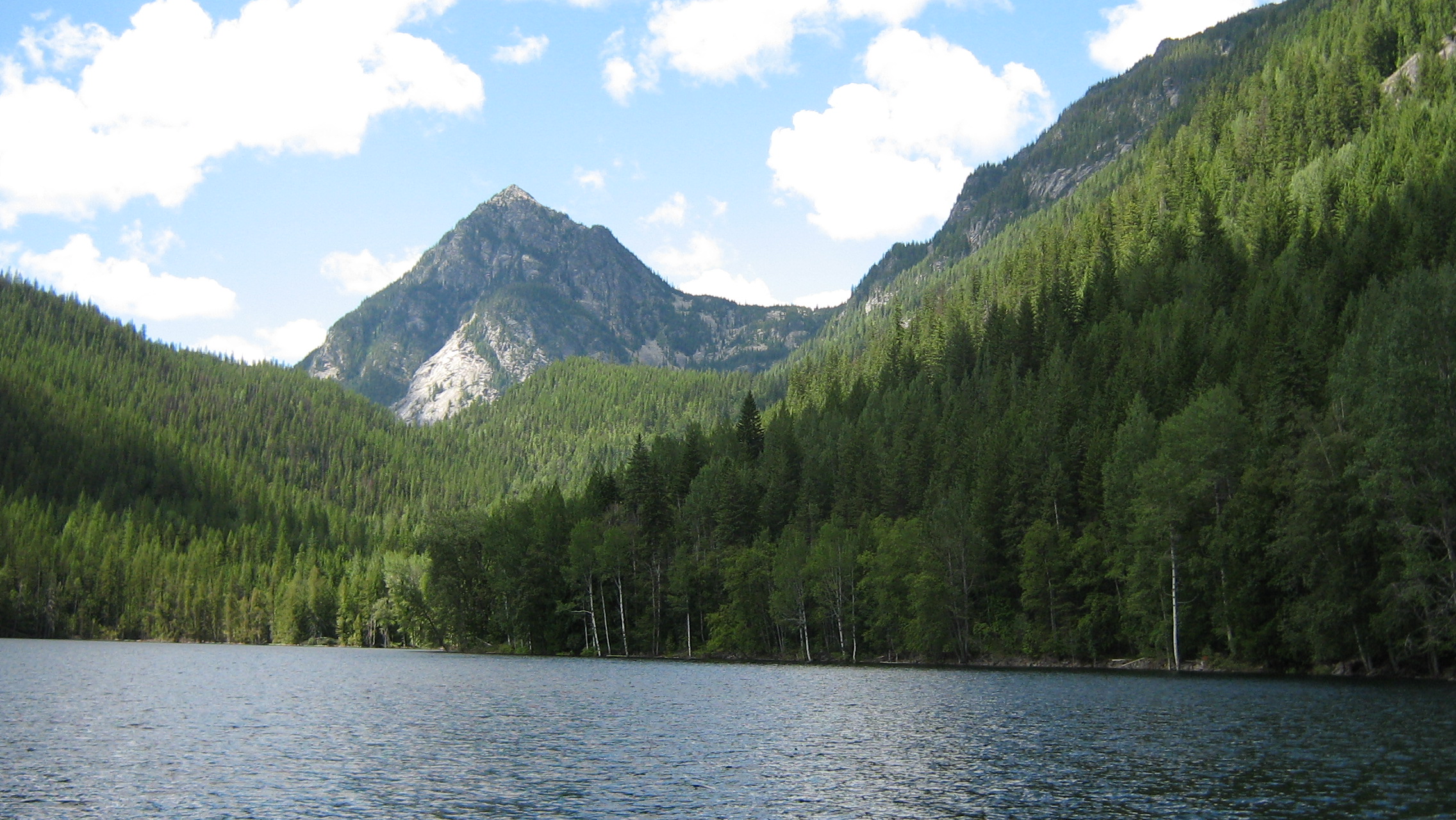
Slocan Lake
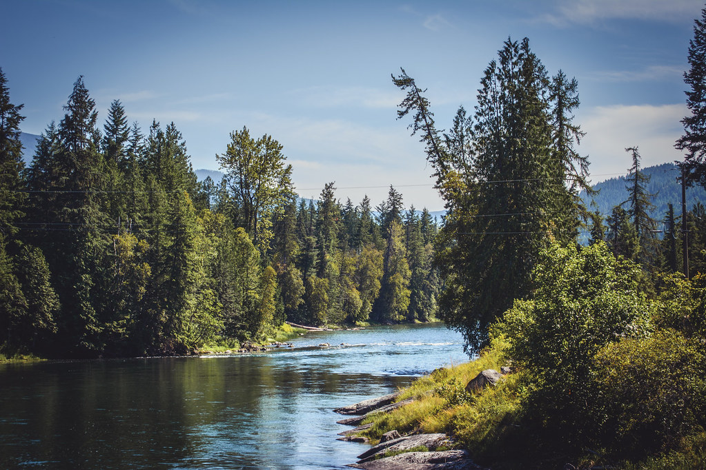
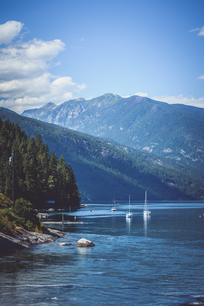
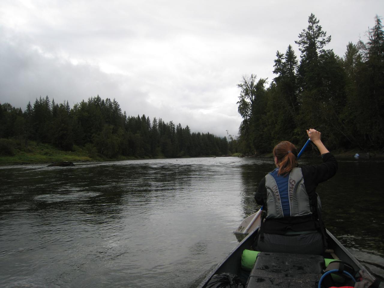
Slocan River
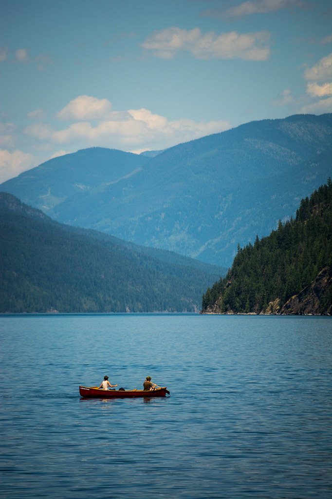
Slocan Lake

End of the Lake
Slocan Lake

Slocan Lake
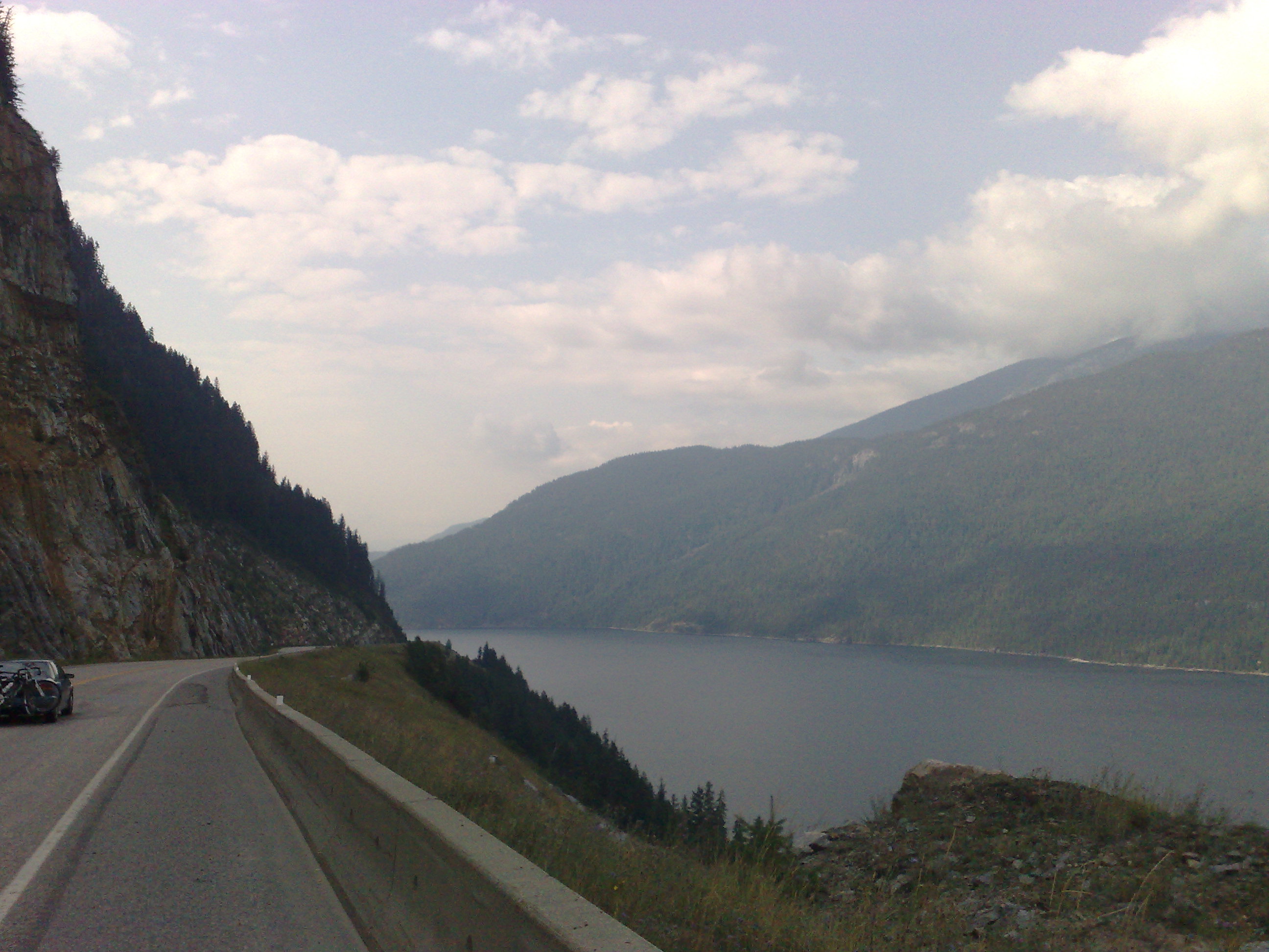
Cahill lake rest stop
Slocan Lake

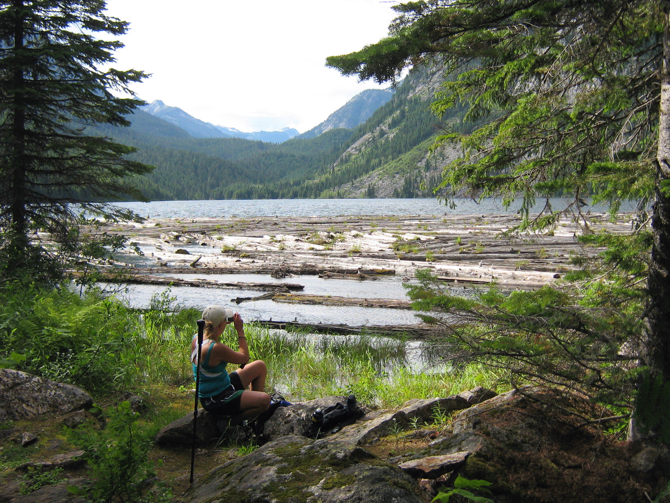
Cahill lake

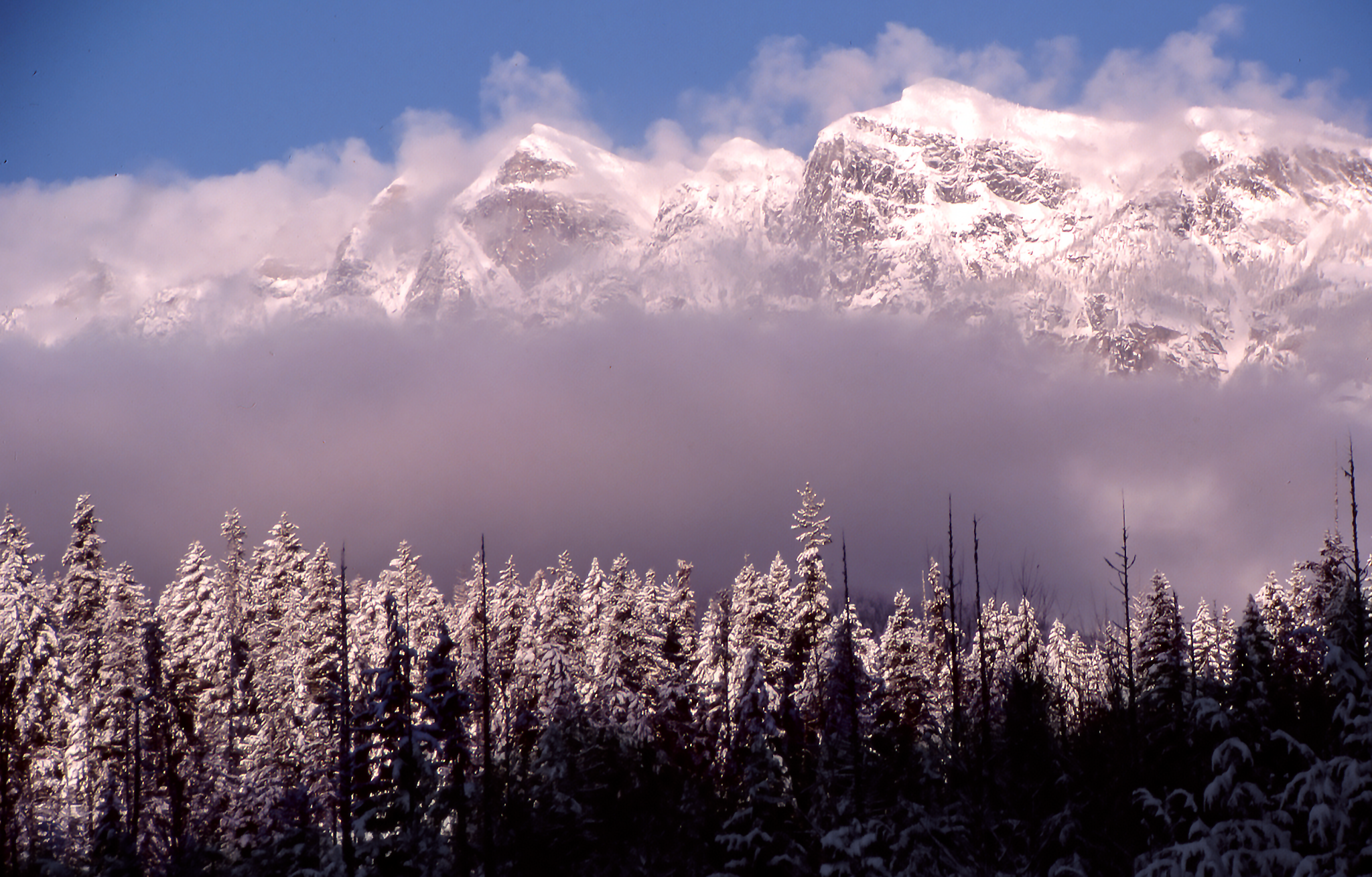
April 15 - Sunset
-515
Slocan Lake
04-09-2009

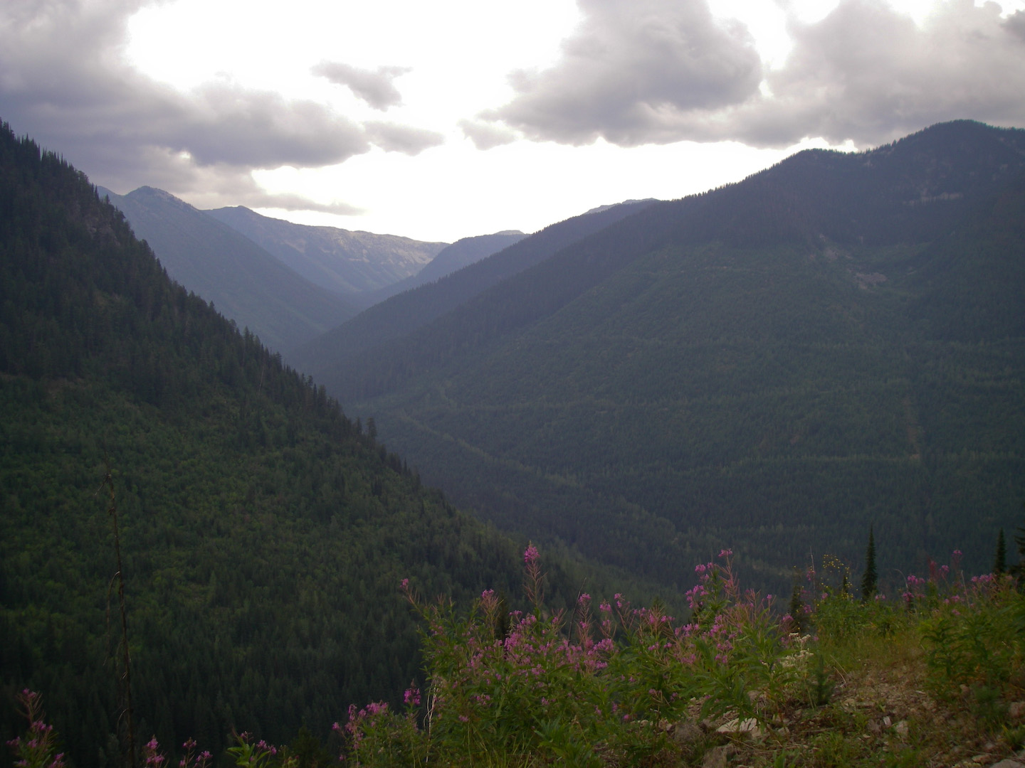
Crossing Beatrice Creek
Emerald lake

Slocan Lake
Slocan 122
Topographic Map of Slocan, BC V0G, Canada
Find elevation by address:

Places near Slocan, BC V0G, Canada:
512 Fletcher Ave
512 Fletcher Ave
714 Main St
614 Park Ave
8578 Bc-6
Rooster Road
Central Kootenay H
Avis Road
Bentley Road
Central Kootenay
6778 Katelnikoff Rd
Appledale
Lois Lane
8651 Bc-6
8788 Bc-6
8651 Bc-6
8651 Bc-6
8651 Bc-6
Lancaster Road
5709 Bc-6
Recent Searches:
- Elevation of Corso Fratelli Cairoli, 35, Macerata MC, Italy
- Elevation of Tallevast Rd, Sarasota, FL, USA
- Elevation of 4th St E, Sonoma, CA, USA
- Elevation of Black Hollow Rd, Pennsdale, PA, USA
- Elevation of Oakland Ave, Williamsport, PA, USA
- Elevation of Pedrógão Grande, Portugal
- Elevation of Klee Dr, Martinsburg, WV, USA
- Elevation of Via Roma, Pieranica CR, Italy
- Elevation of Tavkvetili Mountain, Georgia
- Elevation of Hartfords Bluff Cir, Mt Pleasant, SC, USA