Elevation of Slocan River Rd, Winlaw, BC V0G 2J0, Canada
Location: Canada > British Columbia > Central Kootenay > Central Kootenay H > Winlaw >
Longitude: -117.63762
Latitude: 49.5773636
Elevation: 526m / 1726feet
Barometric Pressure: 95KPa
Elevation Map:
Satellite Map:
Related Photos:

Ski day
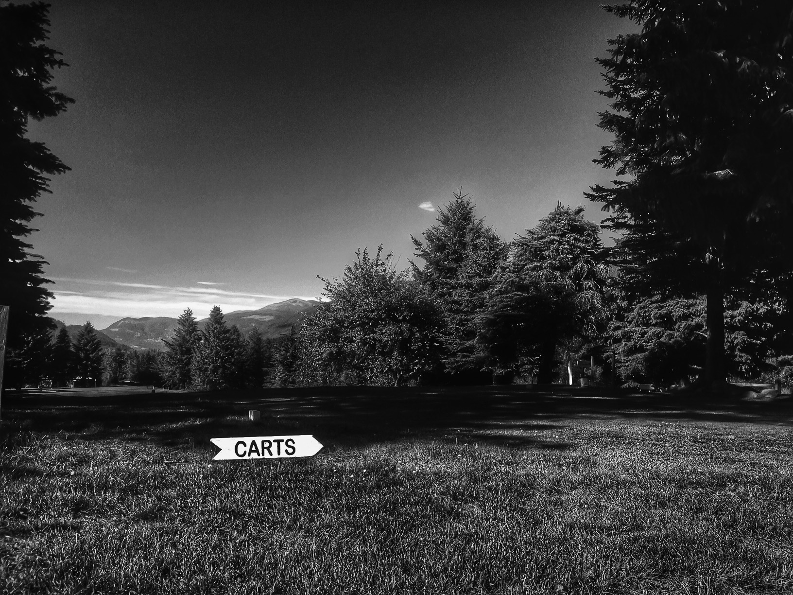
CartsThis Way

Room with a view

Snowy Window View
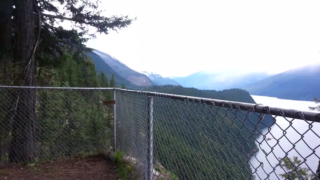
Gorgeous view
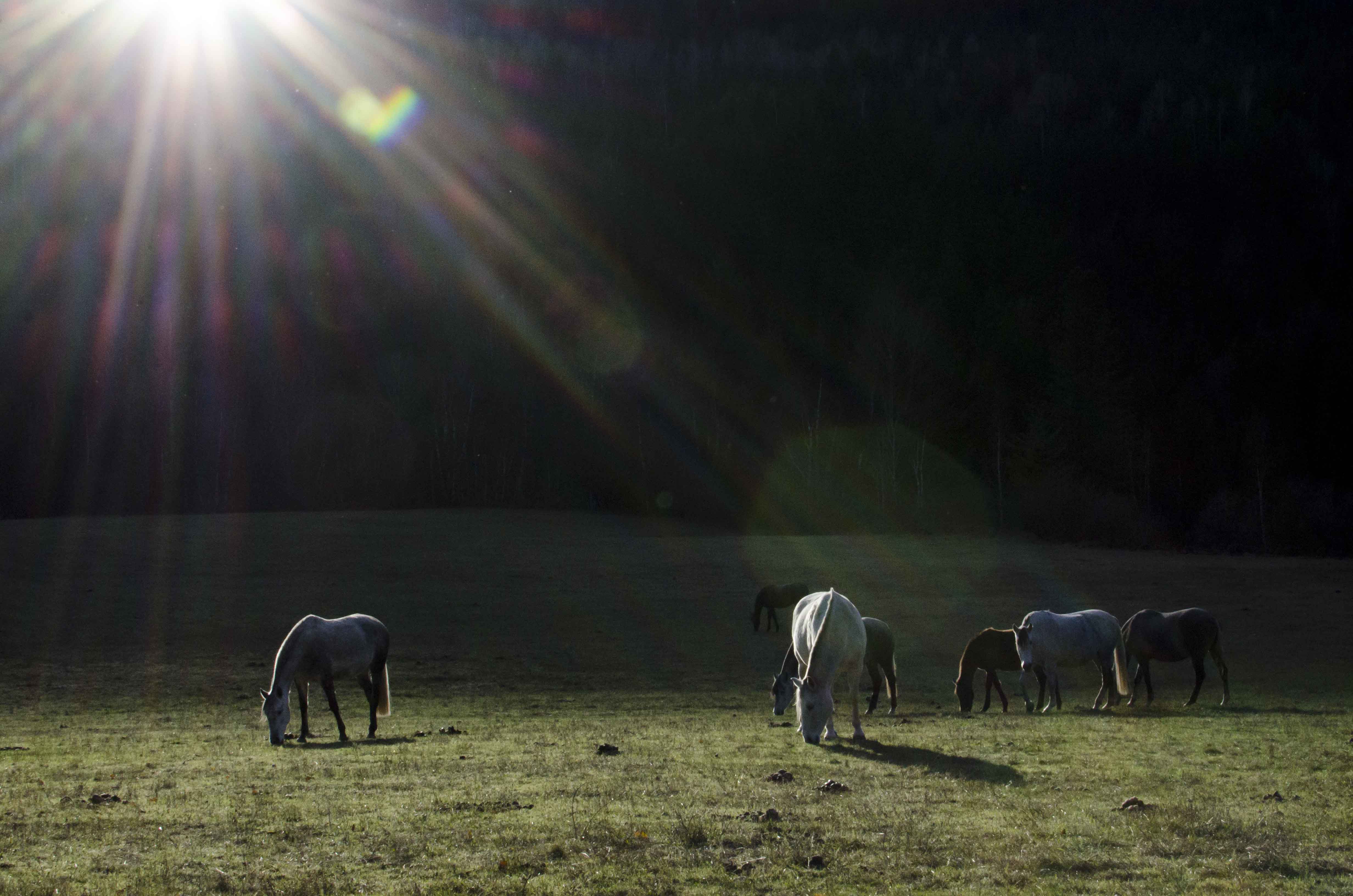
Grazing Sunflare

Snow is starting to come

Whacking the Weeds

Forest of Doom

Forest of Doom

Snow is starting to come

A Hike in Slocan

A Hike in Slocan

A Hike in Slocan

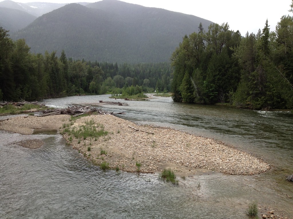
Slocan River

A Hike in Slocan

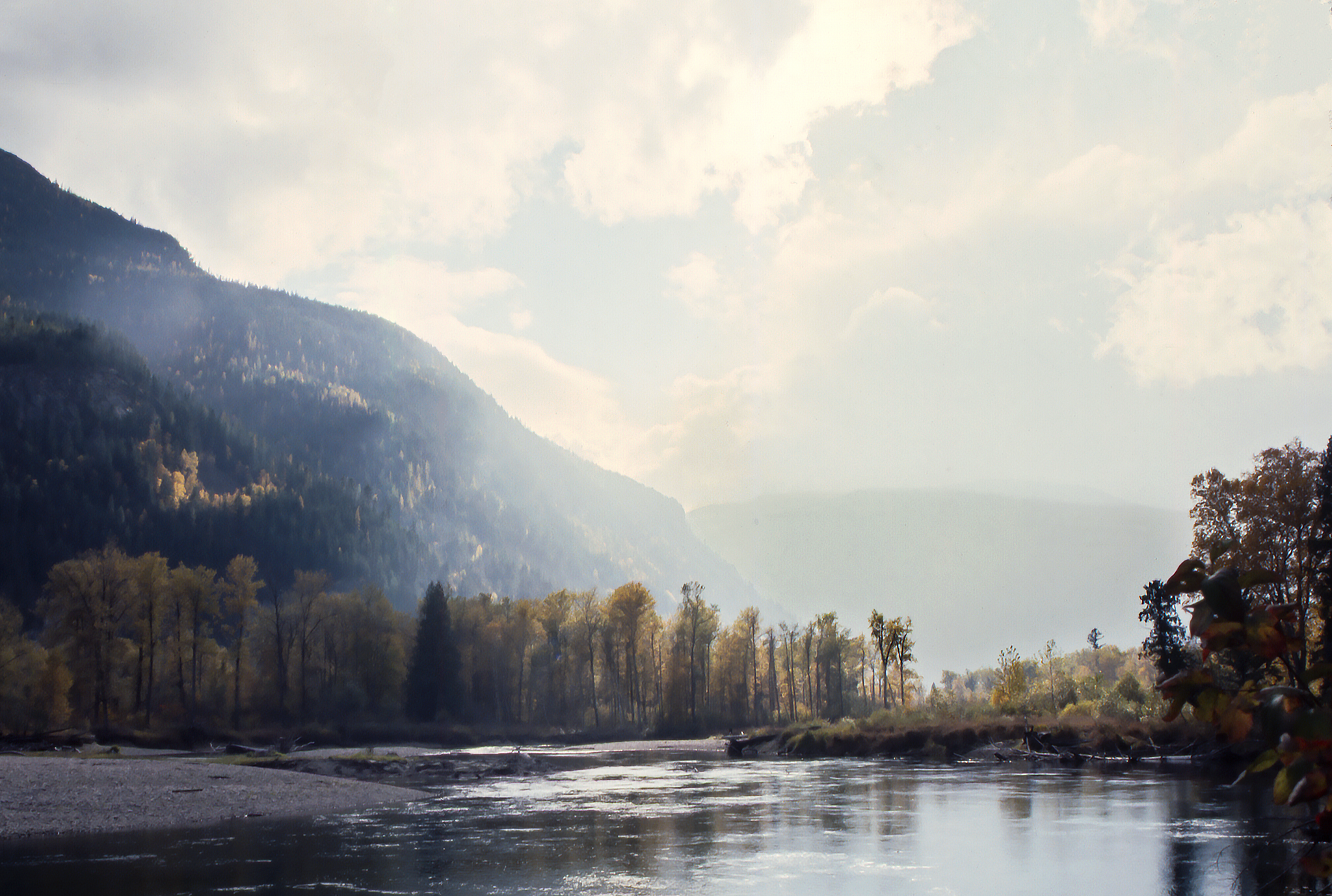
Early Frost
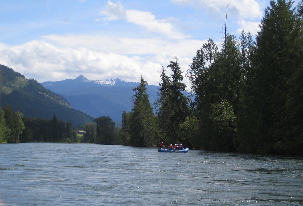
Nelson Whitewater Rafting on the Slocan River
Get on the Doc Bus
Get on the Doc Bus
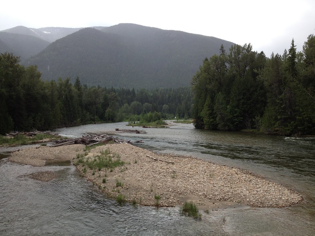
Slocan River

Trippin'

Blue sky and snow

Snow is starting to come
Topographic Map of Slocan River Rd, Winlaw, BC V0G 2J0, Canada
Find elevation by address:

Places near Slocan River Rd, Winlaw, BC V0G 2J0, Canada:
4820 Bc-6
4830 Bc-6
4412 Slocan River Rd
Slocan River Rd, Winlaw, BC V0G 2J0, Canada
Passmore Lower Road
Passmore
3200 Naychuk Rd
3207 Naychuk Rd
3064 Upper Slocan Park Rd
5507 Kazakoff Rd
Slocan Valley Co-op Gas Bar
3041 Bower Rd
Slocan Park
Winlaw
5709 Bc-6
Lancaster Road
Lois Lane
Appledale
3913 Krestova Lower Rd
4321 Poplar Ridge Rd
Recent Searches:
- Elevation of Corso Fratelli Cairoli, 35, Macerata MC, Italy
- Elevation of Tallevast Rd, Sarasota, FL, USA
- Elevation of 4th St E, Sonoma, CA, USA
- Elevation of Black Hollow Rd, Pennsdale, PA, USA
- Elevation of Oakland Ave, Williamsport, PA, USA
- Elevation of Pedrógão Grande, Portugal
- Elevation of Klee Dr, Martinsburg, WV, USA
- Elevation of Via Roma, Pieranica CR, Italy
- Elevation of Tavkvetili Mountain, Georgia
- Elevation of Hartfords Bluff Cir, Mt Pleasant, SC, USA