Elevation of Llangothlin NSW, Australia
Location: Australia > New South Wales > Guyra Shire Council >
Longitude: 151.7071416
Latitude: -30.0719783
Elevation: 1374m / 4508feet
Barometric Pressure: 0KPa
Related Photos:

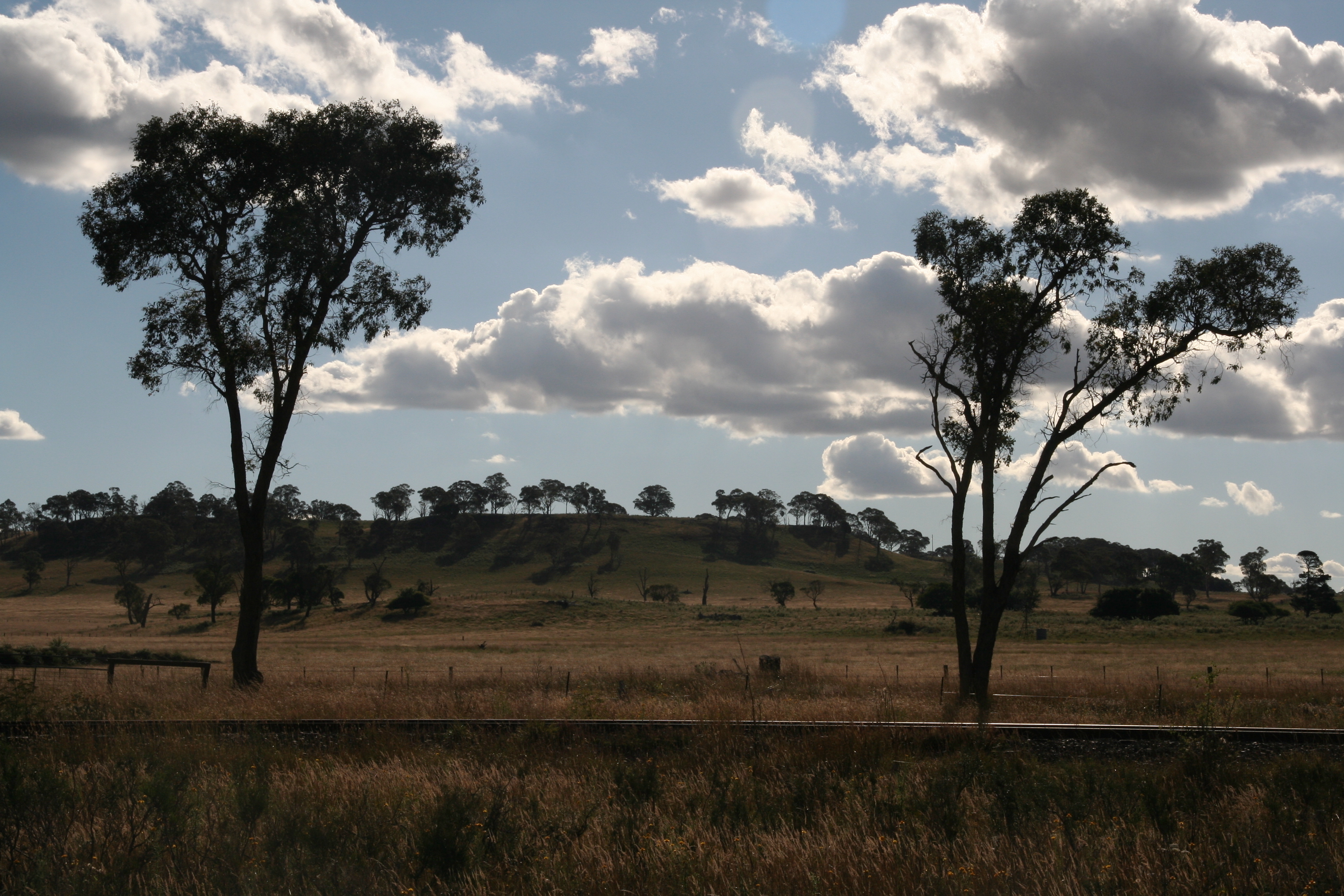
Trees a light

Last Light of 2014

CAST A SHADOW

Taking Flight

Blazing Stop

1P Farming at the origins of Mann 139
llangothlin-2011.jpg

Country sunset North of Armidale.

llangothlin-2011b.jpg

llangothlin-2011a.jpg
Topographic Map of Llangothlin NSW, Australia
Find elevation by address:

Places in Llangothlin NSW, Australia:
Places near Llangothlin NSW, Australia:
168 Ben Lomond Rd
197 Ben Lomond Rd
Ben Lomond
17 Glencoe St
Guyra
Guyra
133 Malpas St
Glencoe
Green Hills
Chandlers Peak
Black Mountain
275 Toms Gully Rd
2 Ward Cres
872 Red Range Rd
Glen Innes
164 Wentworth St
46 Armidale Gully Rd
275 Meade St
49 Coronation Ave
164 Taylor St
Recent Searches:
- Elevation of Pasing, Munich, Bavaria, 81241, Germany
- Elevation of 24, Auburn Bay Crescent SE, Auburn Bay, Calgary, Alberta, T3M 0A6, Canada
- Elevation of Denver, 2314, Arapahoe Street, Five Points, Denver, Colorado, 80205, USA
- Elevation of Community of the Beatitudes, 2924, West 43rd Avenue, Sunnyside, Denver, Colorado, 80211, USA
- Elevation map of Litang County, Sichuan, China
- Elevation map of Madoi County, Qinghai, China
- Elevation of 3314, Ohio State Route 114, Payne, Paulding County, Ohio, 45880, USA
- Elevation of Sarahills Drive, Saratoga, Santa Clara County, California, 95070, USA
- Elevation of Town of Bombay, Franklin County, New York, USA
- Elevation of 9, Convent Lane, Center Moriches, Suffolk County, New York, 11934, USA
- Elevation of Saint Angelas Convent, 9, Convent Lane, Center Moriches, Suffolk County, New York, 11934, USA
- Elevation of 131st Street Southwest, Mukilteo, Snohomish County, Washington, 98275, USA
- Elevation of 304, Harrison Road, Naples, Cumberland County, Maine, 04055, USA
- Elevation of 2362, Timber Ridge Road, Harrisburg, Cabarrus County, North Carolina, 28075, USA
- Elevation of Ridge Road, Marshalltown, Marshall County, Iowa, 50158, USA
- Elevation of 2459, Misty Shadows Drive, Pigeon Forge, Sevier County, Tennessee, 37862, USA
- Elevation of 8043, Brightwater Way, Spring Hill, Williamson County, Tennessee, 37179, USA
- Elevation of Starkweather Road, San Luis, Costilla County, Colorado, 81152, USA
- Elevation of 5277, Woodside Drive, Baton Rouge, East Baton Rouge Parish, Louisiana, 70808, USA
- Elevation of 1139, Curtin Street, Shepherd Park Plaza, Houston, Harris County, Texas, 77018, USA