Elevation of Ben Lomond Rd, Llangothlin NSW, Australia
Location: Australia > New South Wales > Guyra Shire Council > Llangothlin >
Longitude: 151.6809771
Latitude: -30.1092303
Elevation: 1324m / 4344feet
Barometric Pressure: 0KPa
Related Photos:

Coenagrion lyelli female wings
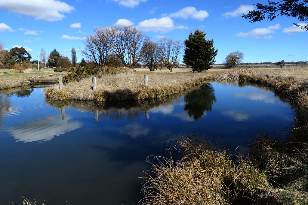
Mother of Ducks lagoon offshoot, Guyra, nr Armidale, NSW 275

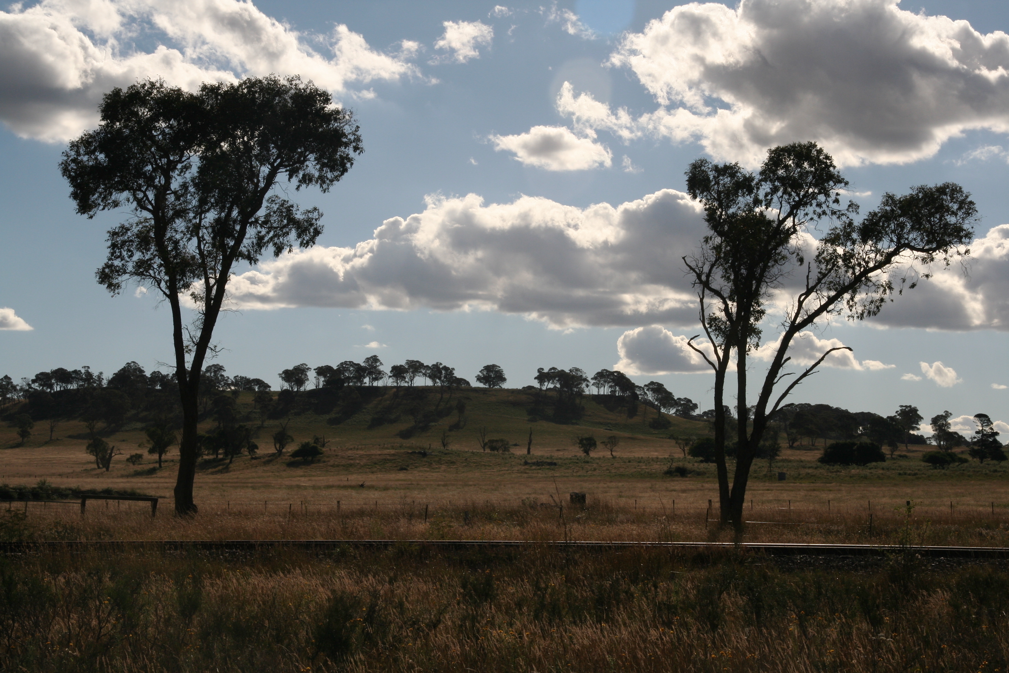
Frosty morning at Guyra, NSW

Last Light of 2014

CAST A SHADOW

Taking Flight

1P Farming at the origins of Mann 139

120808_0738MotherOfDucksGuyraLx.jpg

121012_0135MotherOfDucksLagoonL.jpg

120808_0734MotherOfDucksGuyraLx.jpg
llangothlin-2011.jpg
Topographic Map of Ben Lomond Rd, Llangothlin NSW, Australia
Find elevation by address:

Places near Ben Lomond Rd, Llangothlin NSW, Australia:
168 Ben Lomond Rd
Llangothlin
Ben Lomond
Guyra
Guyra
133 Malpas St
Green Hills
17 Glencoe St
Chandlers Peak
Glencoe
Black Mountain
275 Toms Gully Rd
46 Armidale Gully Rd
Dumaresq
540 Ramah Road
Briarbrook
2 Ward Cres
872 Red Range Rd
5 Highlands Rd
Glen Innes
Recent Searches:
- Elevation map of Litang County, Sichuan, China
- Elevation map of Madoi County, Qinghai, China
- Elevation of 3314, Ohio State Route 114, Payne, Paulding County, Ohio, 45880, USA
- Elevation of Sarahills Drive, Saratoga, Santa Clara County, California, 95070, USA
- Elevation of Town of Bombay, Franklin County, New York, USA
- Elevation of 9, Convent Lane, Center Moriches, Suffolk County, New York, 11934, USA
- Elevation of Saint Angelas Convent, 9, Convent Lane, Center Moriches, Suffolk County, New York, 11934, USA
- Elevation of 131st Street Southwest, Mukilteo, Snohomish County, Washington, 98275, USA
- Elevation of 304, Harrison Road, Naples, Cumberland County, Maine, 04055, USA
- Elevation of 2362, Timber Ridge Road, Harrisburg, Cabarrus County, North Carolina, 28075, USA
- Elevation of Ridge Road, Marshalltown, Marshall County, Iowa, 50158, USA
- Elevation of 2459, Misty Shadows Drive, Pigeon Forge, Sevier County, Tennessee, 37862, USA
- Elevation of 8043, Brightwater Way, Spring Hill, Williamson County, Tennessee, 37179, USA
- Elevation of Starkweather Road, San Luis, Costilla County, Colorado, 81152, USA
- Elevation of 5277, Woodside Drive, Baton Rouge, East Baton Rouge Parish, Louisiana, 70808, USA
- Elevation of 1139, Curtin Street, Shepherd Park Plaza, Houston, Harris County, Texas, 77018, USA
- Elevation of 136, Sellers Lane, Repton, Monroe County, Alabama, 36475, USA
- Elevation of 12914, Elmington Drive, Lakewood Forest, Houston, Harris County, Texas, 77429, USA
- Elevation of 417, Camelot Drive, Statesville, Iredell County, North Carolina, 28625, USA
- Elevation of 5792, Wildridge Road, Avon, Eagle County, Colorado, 81620, USA