Elevation of Guyra NSW, Australia
Location: Australia > New South Wales > Guyra Shire Council >
Longitude: 151.6676377
Latitude: -30.2168387
Elevation: 1326m / 4350feet
Barometric Pressure: 0KPa
Related Photos:
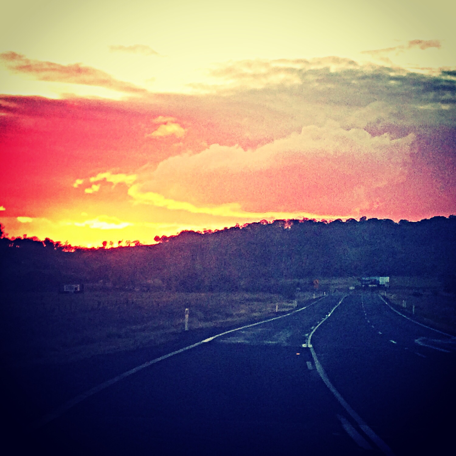
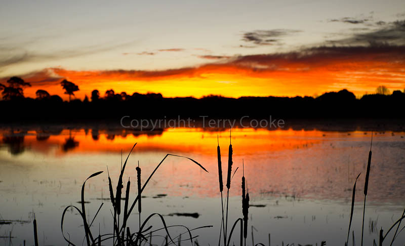
Last Light of 2014
120808_0734MotherOfDucksGuyraLx.jpg
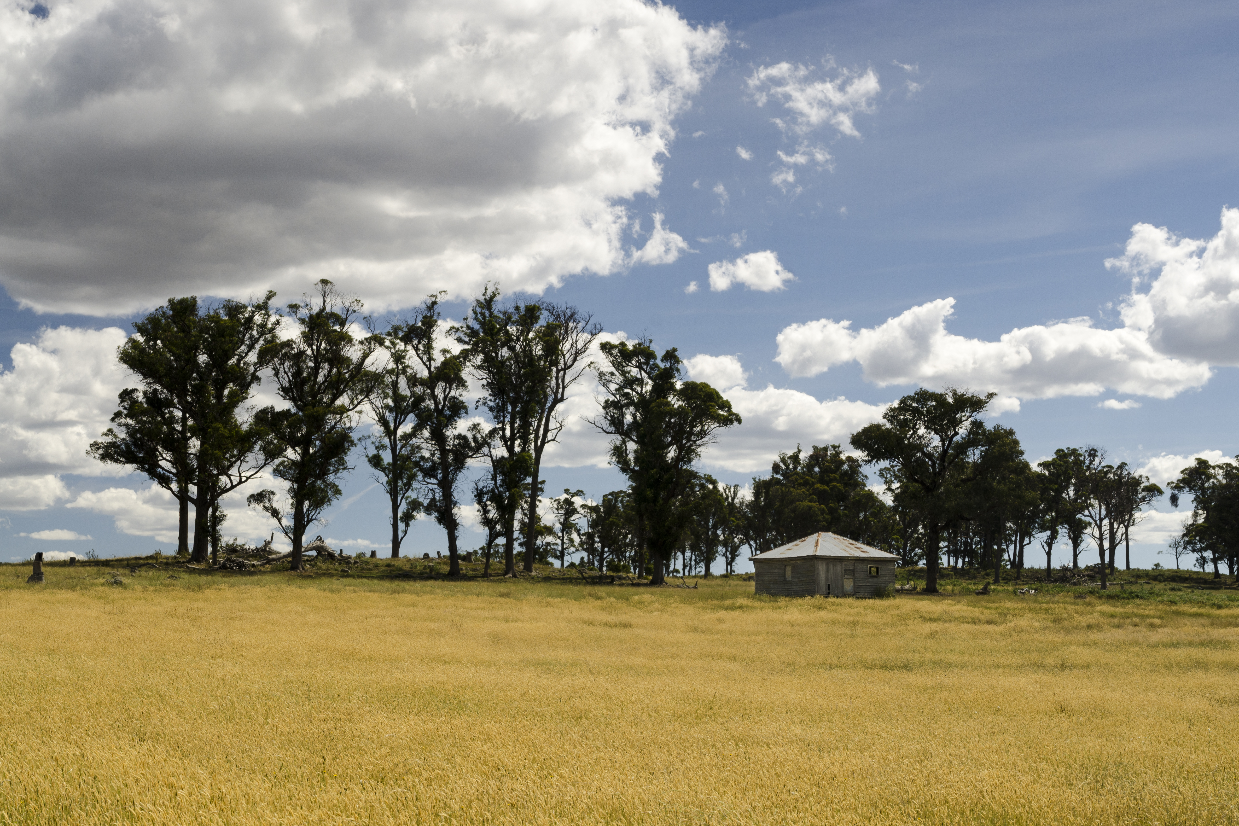
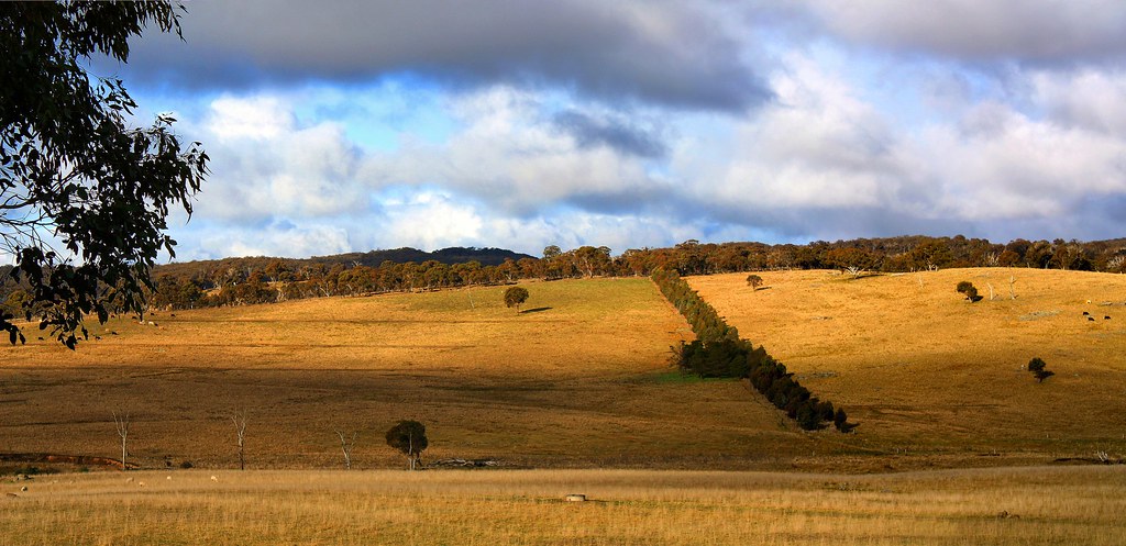
Fields of Gold

121012_0135MotherOfDucksLagoonL.jpg
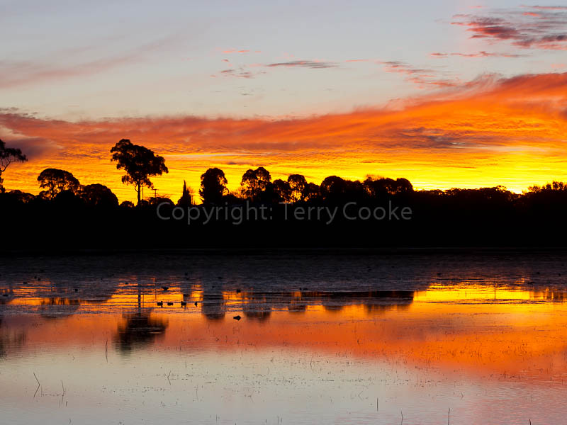
Country sunset North of Armidale.
120808_0738MotherOfDucksGuyraLx.jpg
llangothlin-2011a.jpg
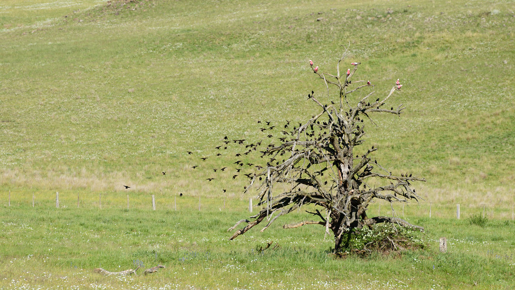
Taking Flight
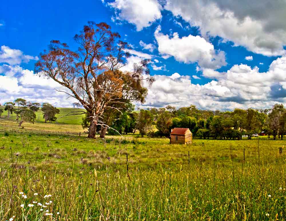
The Shed
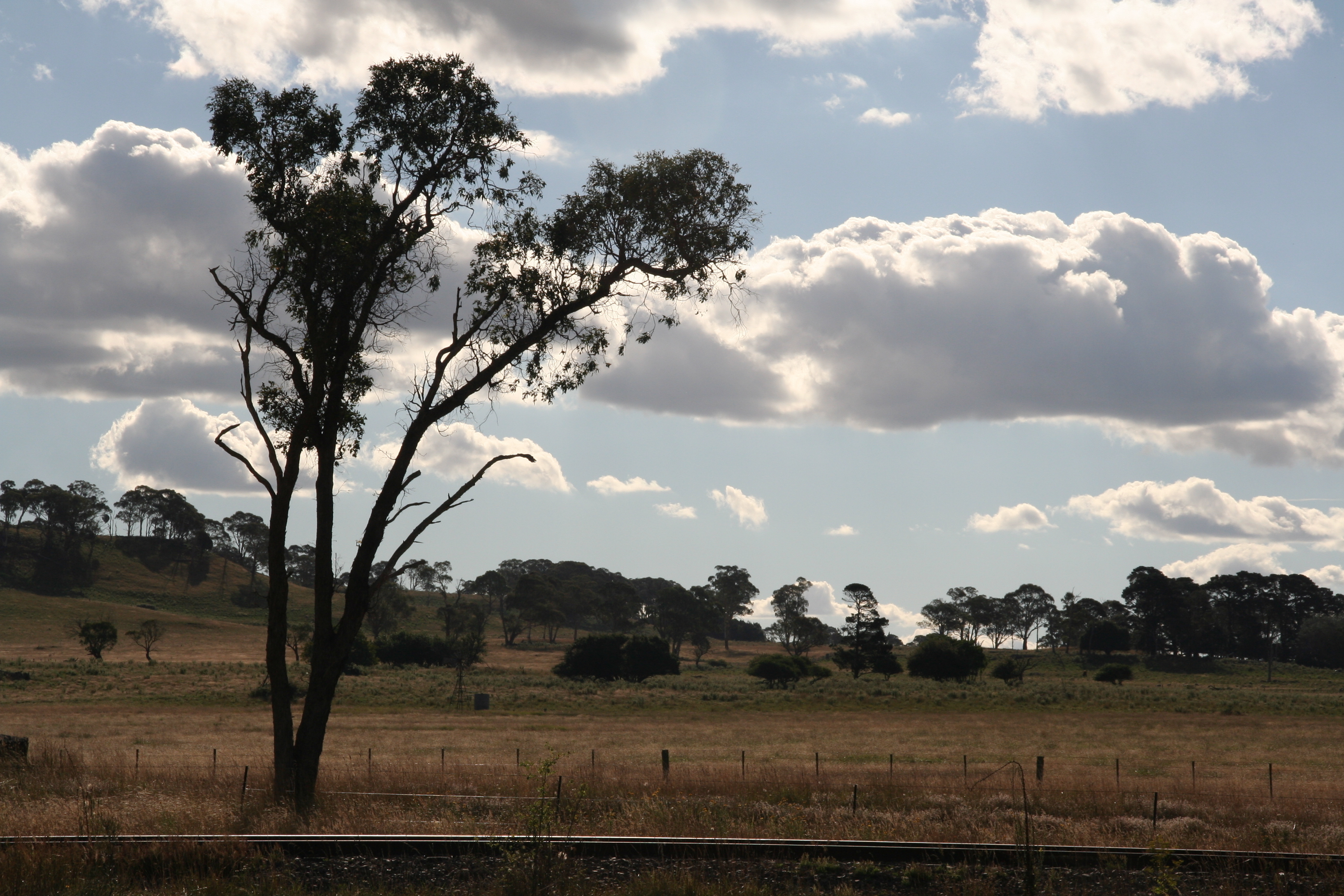
Old Armidale Road

Old Armidale Road
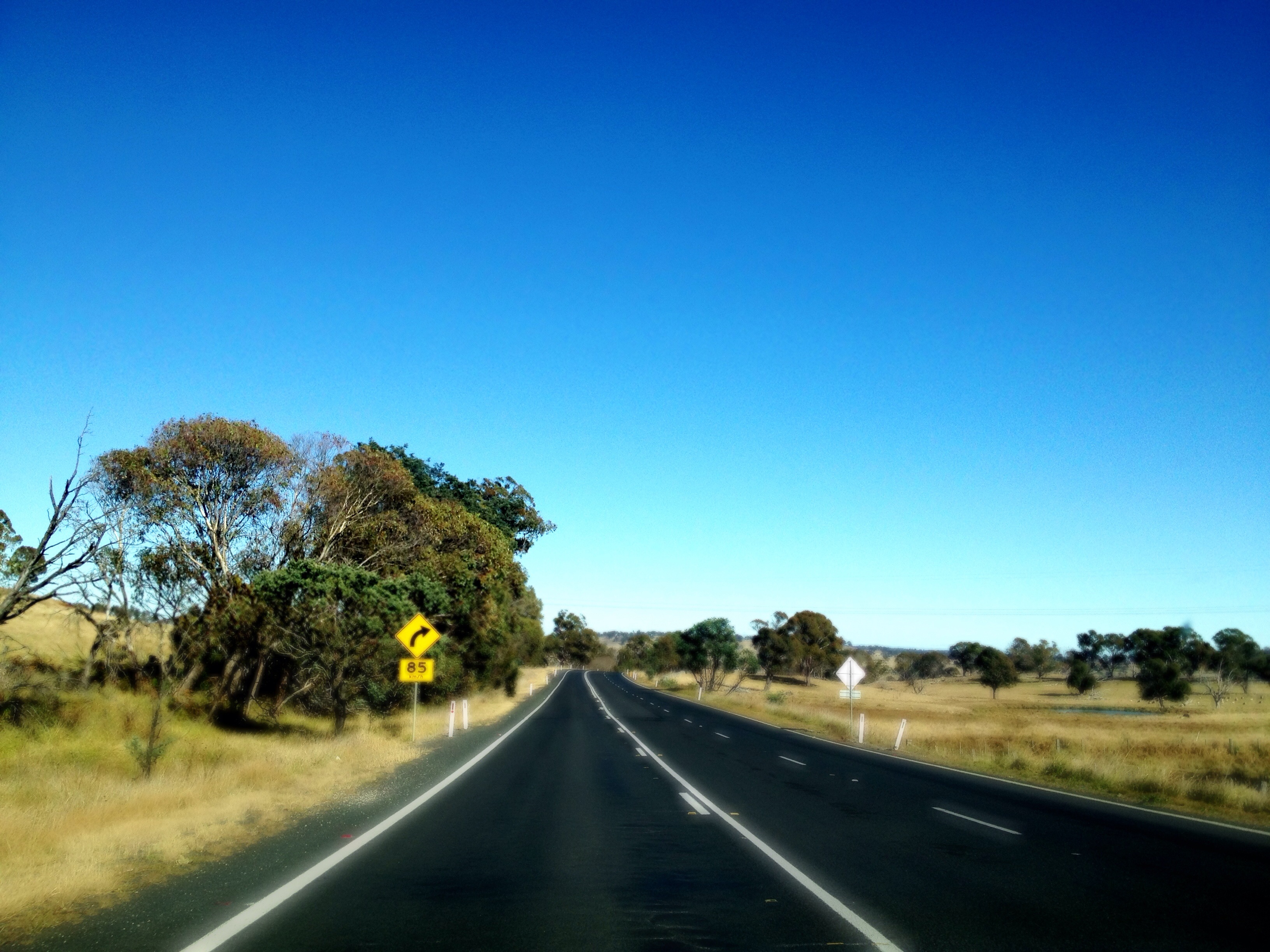
New England Highway on the road to Ebor

llangothlin-2011b.jpg
llangothlin-2011.jpg
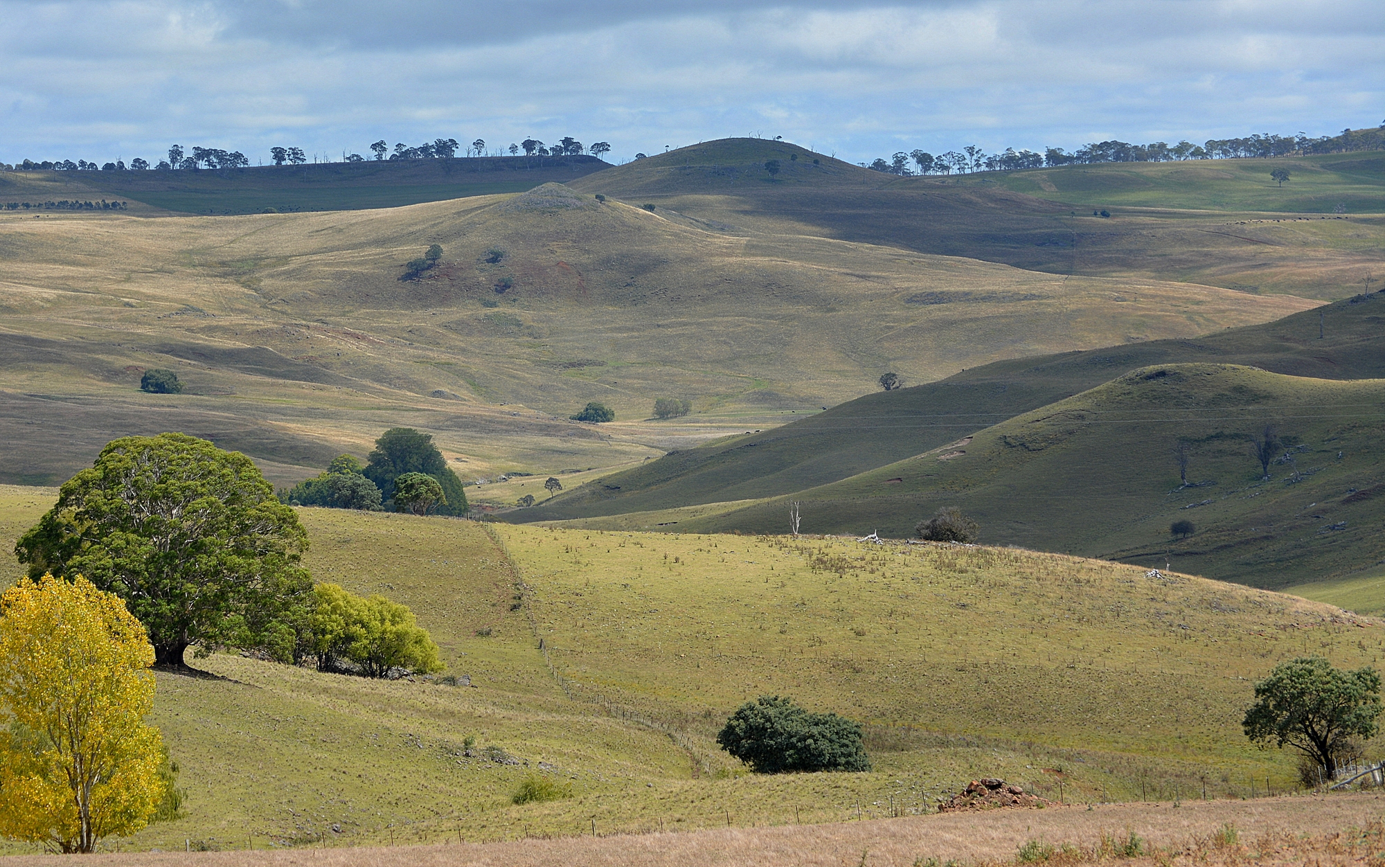
Gara Valley

Green Hills Road

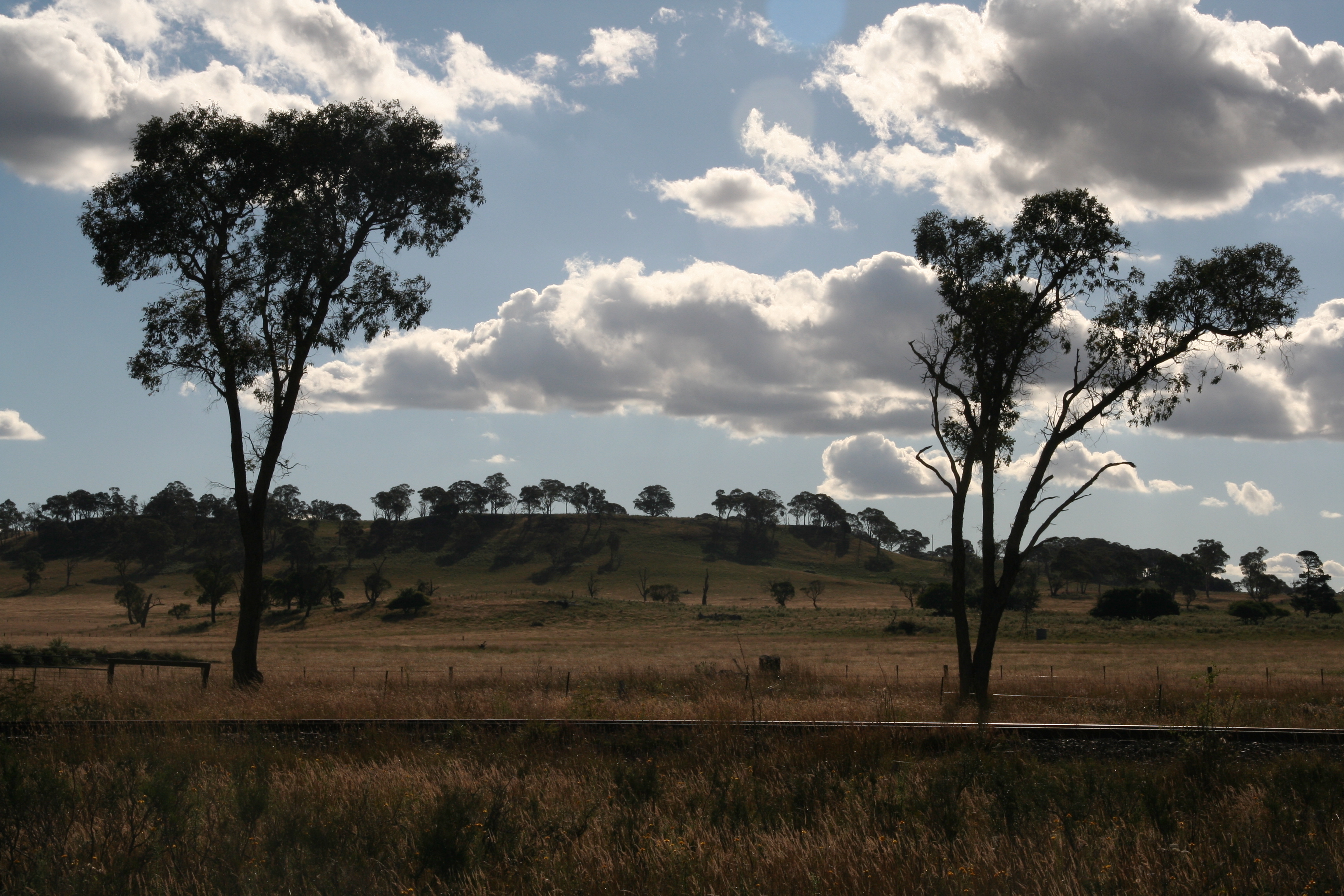
CAST A SHADOW
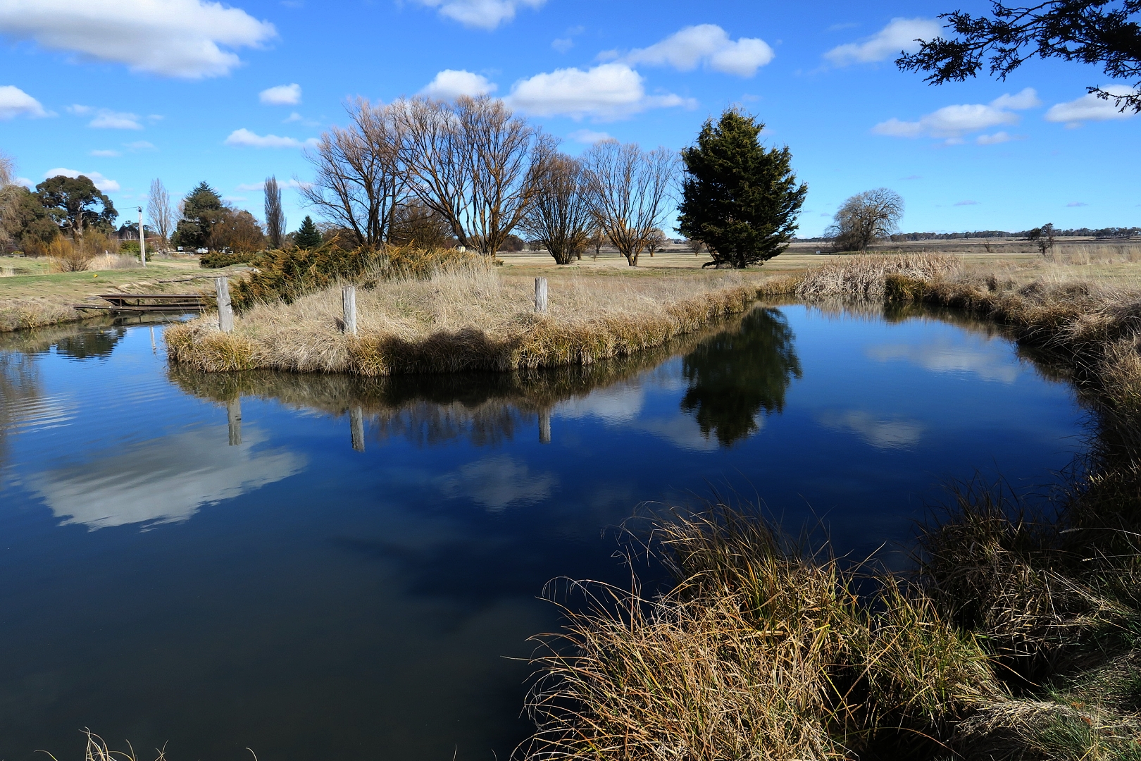
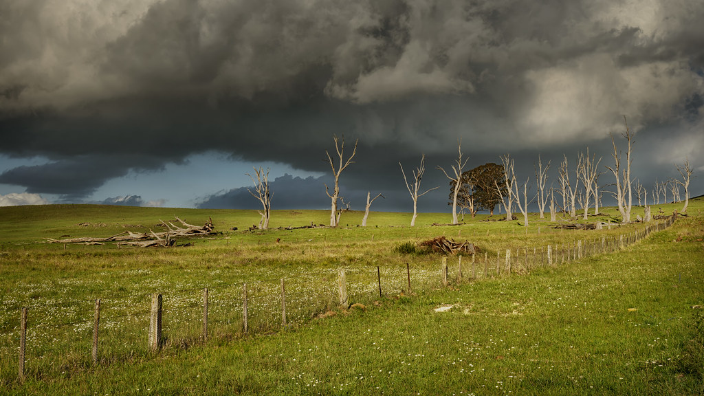
Mother of Ducks lagoon offshoot, Guyra, nr Armidale, NSW 275
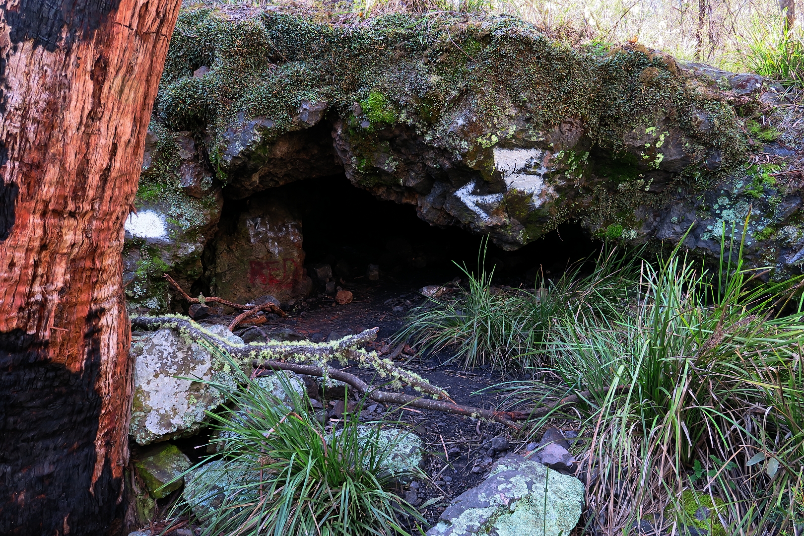
Captain Thunderbolt's cave, near Guyra, NSW 303
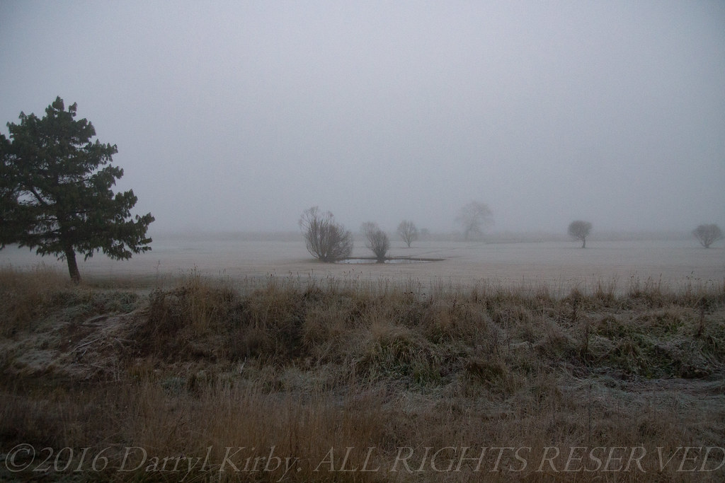
Frosty morning at Guyra, NSW
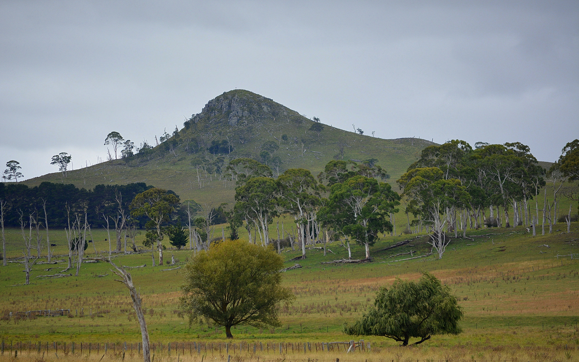
Chandler's Peak
Topographic Map of Guyra NSW, Australia
Find elevation by address:

Places in Guyra NSW, Australia:
Places near Guyra NSW, Australia:
Guyra
133 Malpas St
Black Mountain
275 Toms Gully Rd
197 Ben Lomond Rd
168 Ben Lomond Rd
Green Hills
Chandlers Peak
Llangothlin
Ben Lomond
Dumaresq
46 Armidale Gully Rd
5 Highlands Rd
209 Clarks Rd
Armidale Forest Road
Armidale
17 Glencoe St
466 Middle Farm Rd
2 Reginald Ave
43 Garibaldi St
Recent Searches:
- Elevation of Pasing, Munich, Bavaria, 81241, Germany
- Elevation of 24, Auburn Bay Crescent SE, Auburn Bay, Calgary, Alberta, T3M 0A6, Canada
- Elevation of Denver, 2314, Arapahoe Street, Five Points, Denver, Colorado, 80205, USA
- Elevation of Community of the Beatitudes, 2924, West 43rd Avenue, Sunnyside, Denver, Colorado, 80211, USA
- Elevation map of Litang County, Sichuan, China
- Elevation map of Madoi County, Qinghai, China
- Elevation of 3314, Ohio State Route 114, Payne, Paulding County, Ohio, 45880, USA
- Elevation of Sarahills Drive, Saratoga, Santa Clara County, California, 95070, USA
- Elevation of Town of Bombay, Franklin County, New York, USA
- Elevation of 9, Convent Lane, Center Moriches, Suffolk County, New York, 11934, USA
- Elevation of Saint Angelas Convent, 9, Convent Lane, Center Moriches, Suffolk County, New York, 11934, USA
- Elevation of 131st Street Southwest, Mukilteo, Snohomish County, Washington, 98275, USA
- Elevation of 304, Harrison Road, Naples, Cumberland County, Maine, 04055, USA
- Elevation of 2362, Timber Ridge Road, Harrisburg, Cabarrus County, North Carolina, 28075, USA
- Elevation of Ridge Road, Marshalltown, Marshall County, Iowa, 50158, USA
- Elevation of 2459, Misty Shadows Drive, Pigeon Forge, Sevier County, Tennessee, 37862, USA
- Elevation of 8043, Brightwater Way, Spring Hill, Williamson County, Tennessee, 37179, USA
- Elevation of Starkweather Road, San Luis, Costilla County, Colorado, 81152, USA
- Elevation of 5277, Woodside Drive, Baton Rouge, East Baton Rouge Parish, Louisiana, 70808, USA
- Elevation of 1139, Curtin Street, Shepherd Park Plaza, Houston, Harris County, Texas, 77018, USA