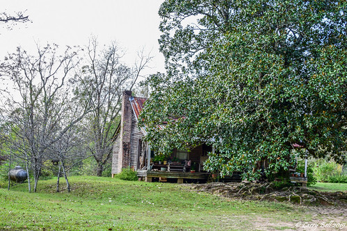
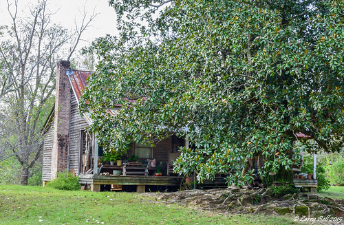
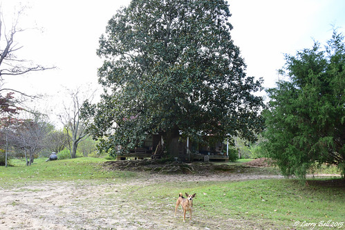
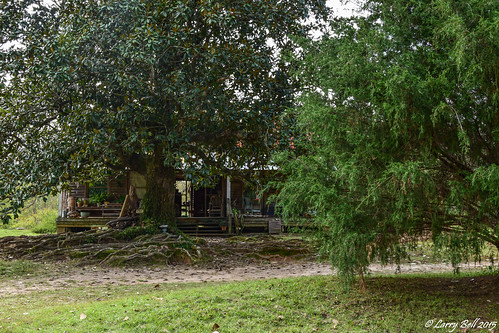
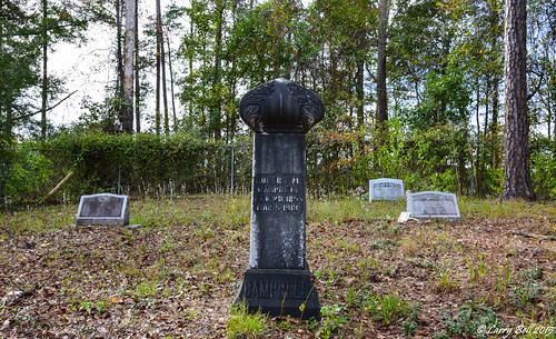
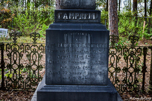
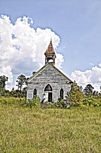
Elevation of Lilita Rd, Livingston, AL, USA
Location: United States > Alabama > Sumter County > Livingston >
Longitude: -88.121021
Latitude: 32.4832242
Elevation: 47m / 154feet
Barometric Pressure: 101KPa
Related Photos:
Topographic Map of Lilita Rd, Livingston, AL, USA
Find elevation by address:

Places near Lilita Rd, Livingston, AL, USA:
Walnut St, Bellamy, AL, USA
Bellamy
Co Rd 22, Livingston, AL, USA
AL-28, Livingston, AL, USA
Livingston City Hall
201 Church St
Livingston
30 Quarter Ln, York, AL, USA
Emerald Ln, Boligee, AL, USA
202 Daryle St
York
Sumter County
US-80, Demopolis, AL, USA
Ward
450 Benn Kidd Rd
Co Rd 72, Boligee, AL, USA
Cuba
Maria Ave, Demopolis, AL, USA
Co Rd 27, Cuba, AL, USA
105 Old Locke 3 Rd
Recent Searches:
- Elevation of Corso Fratelli Cairoli, 35, Macerata MC, Italy
- Elevation of Tallevast Rd, Sarasota, FL, USA
- Elevation of 4th St E, Sonoma, CA, USA
- Elevation of Black Hollow Rd, Pennsdale, PA, USA
- Elevation of Oakland Ave, Williamsport, PA, USA
- Elevation of Pedrógão Grande, Portugal
- Elevation of Klee Dr, Martinsburg, WV, USA
- Elevation of Via Roma, Pieranica CR, Italy
- Elevation of Tavkvetili Mountain, Georgia
- Elevation of Hartfords Bluff Cir, Mt Pleasant, SC, USA
