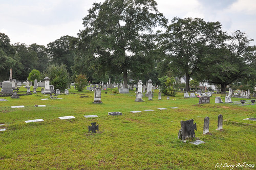
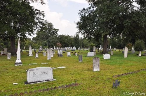
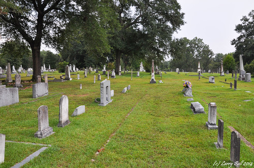
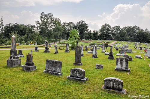
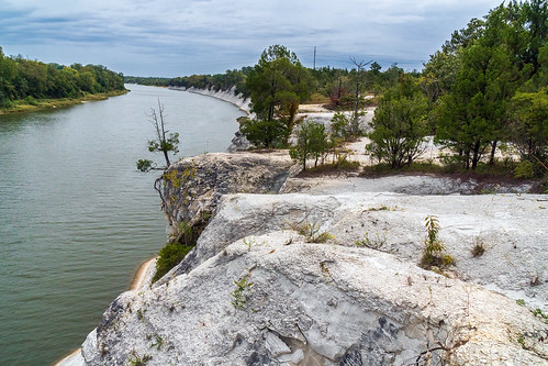
Elevation of Church St, Livingston, AL, USA
Location: United States > Alabama > Sumter County > Livingston >
Longitude: -88.184543
Latitude: 32.5829917
Elevation: 40m / 131feet
Barometric Pressure: 101KPa
Related Photos:
Topographic Map of Church St, Livingston, AL, USA
Find elevation by address:

Places near Church St, Livingston, AL, USA:
Livingston City Hall
Livingston
202 Daryle St
Sumter County
Co Rd 22, Livingston, AL, USA
Lilita Rd, Livingston, AL, USA
Emerald Ln, Boligee, AL, USA
Walnut St, Bellamy, AL, USA
Bellamy
York
AL-28, Livingston, AL, USA
Co Rd 20, Emelle, AL, USA
Emelle
450 Benn Kidd Rd
Co Rd 72, Boligee, AL, USA
Co Rd 27, Cuba, AL, USA
Boligee
30 Quarter Ln, York, AL, USA
Ward
Cuba
Recent Searches:
- Elevation of Corso Fratelli Cairoli, 35, Macerata MC, Italy
- Elevation of Tallevast Rd, Sarasota, FL, USA
- Elevation of 4th St E, Sonoma, CA, USA
- Elevation of Black Hollow Rd, Pennsdale, PA, USA
- Elevation of Oakland Ave, Williamsport, PA, USA
- Elevation of Pedrógão Grande, Portugal
- Elevation of Klee Dr, Martinsburg, WV, USA
- Elevation of Via Roma, Pieranica CR, Italy
- Elevation of Tavkvetili Mountain, Georgia
- Elevation of Hartfords Bluff Cir, Mt Pleasant, SC, USA


