Elevation of York, AL, USA
Location: United States > Alabama > Sumter County >
Longitude: -88.296418
Latitude: 32.4862491
Elevation: 52m / 171feet
Barometric Pressure: 101KPa
Elevation Map:
Satellite Map:
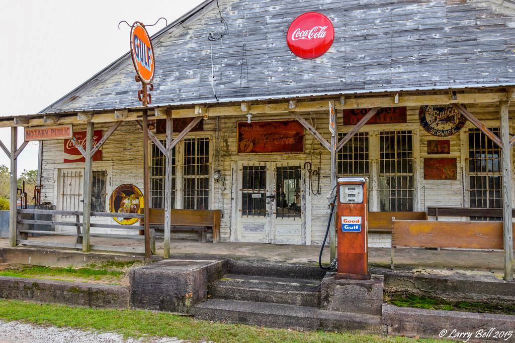
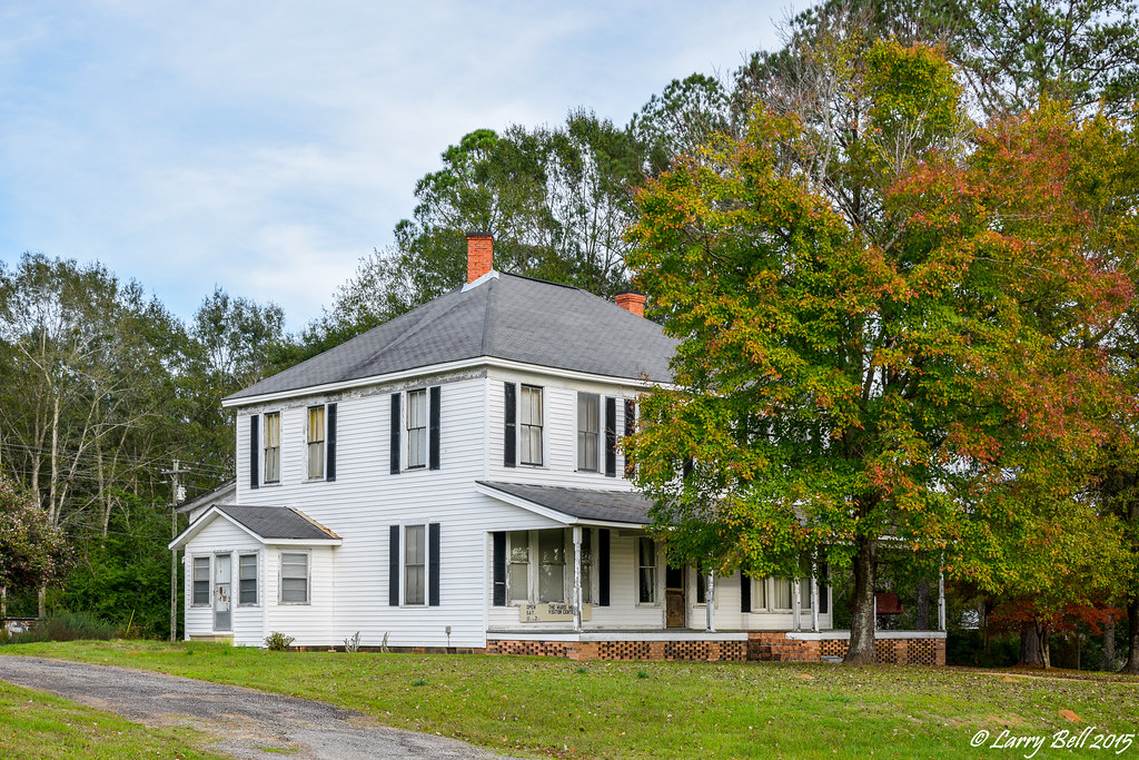
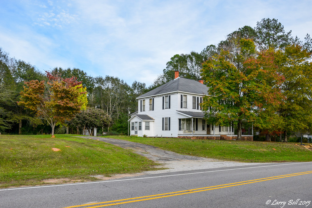
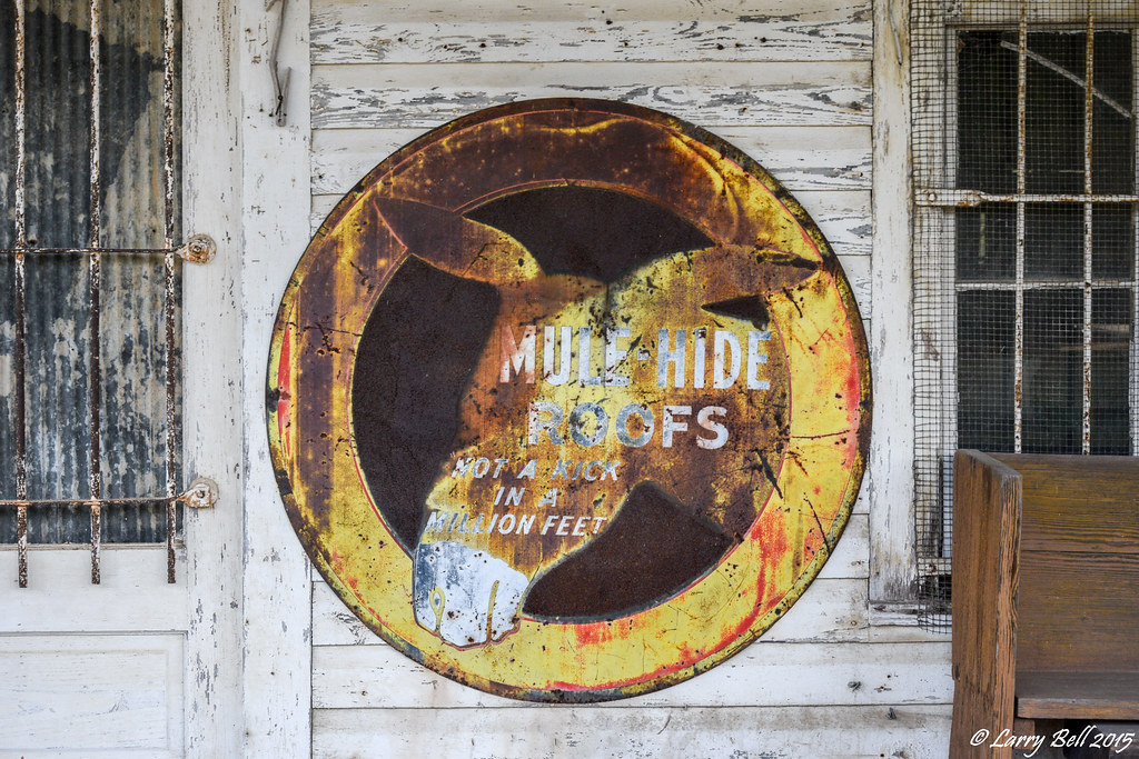
Related Photos:

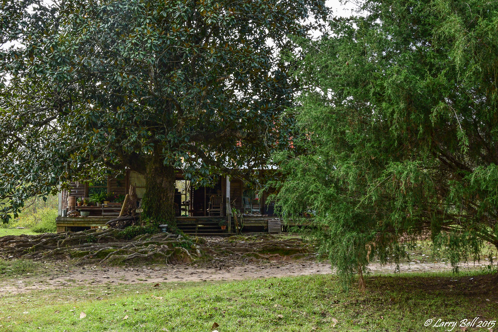
Suc dam

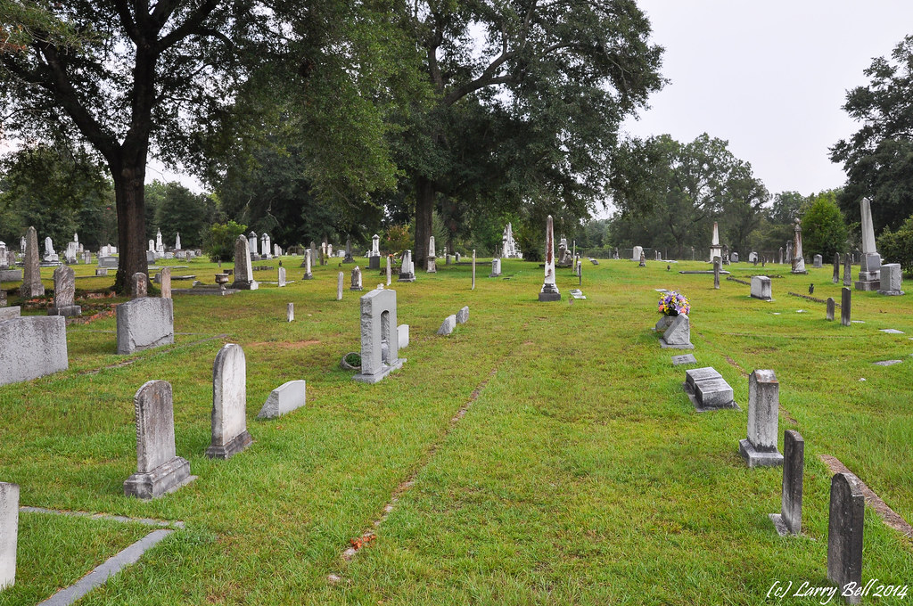
DSC_8728.jpg
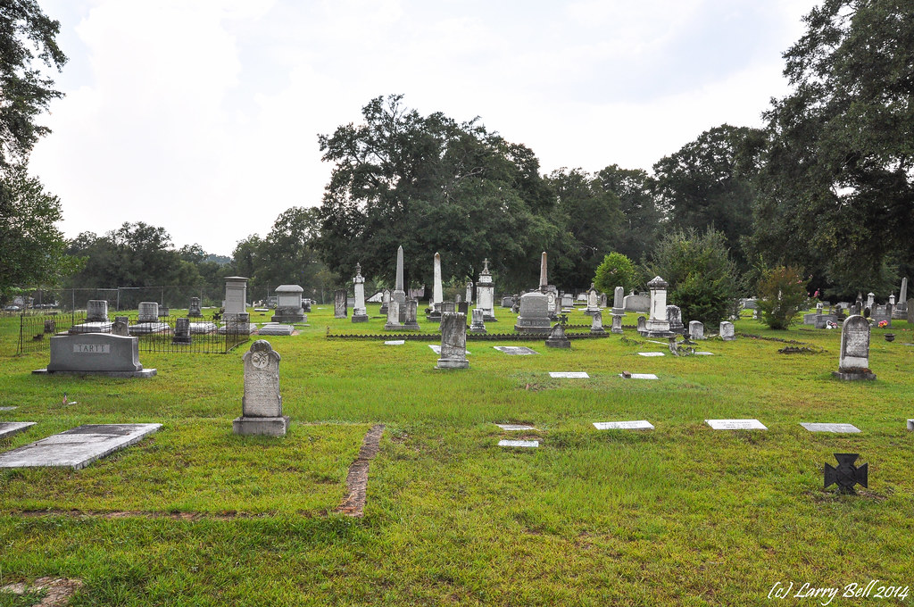
DSC_8689.jpg

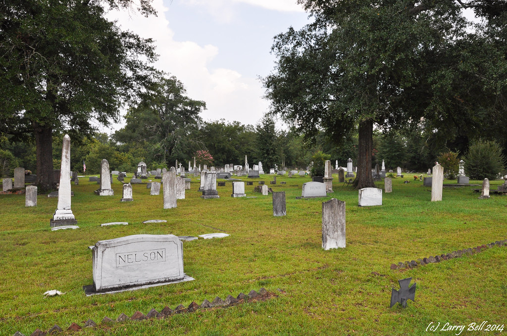
DSC_8662.jpg
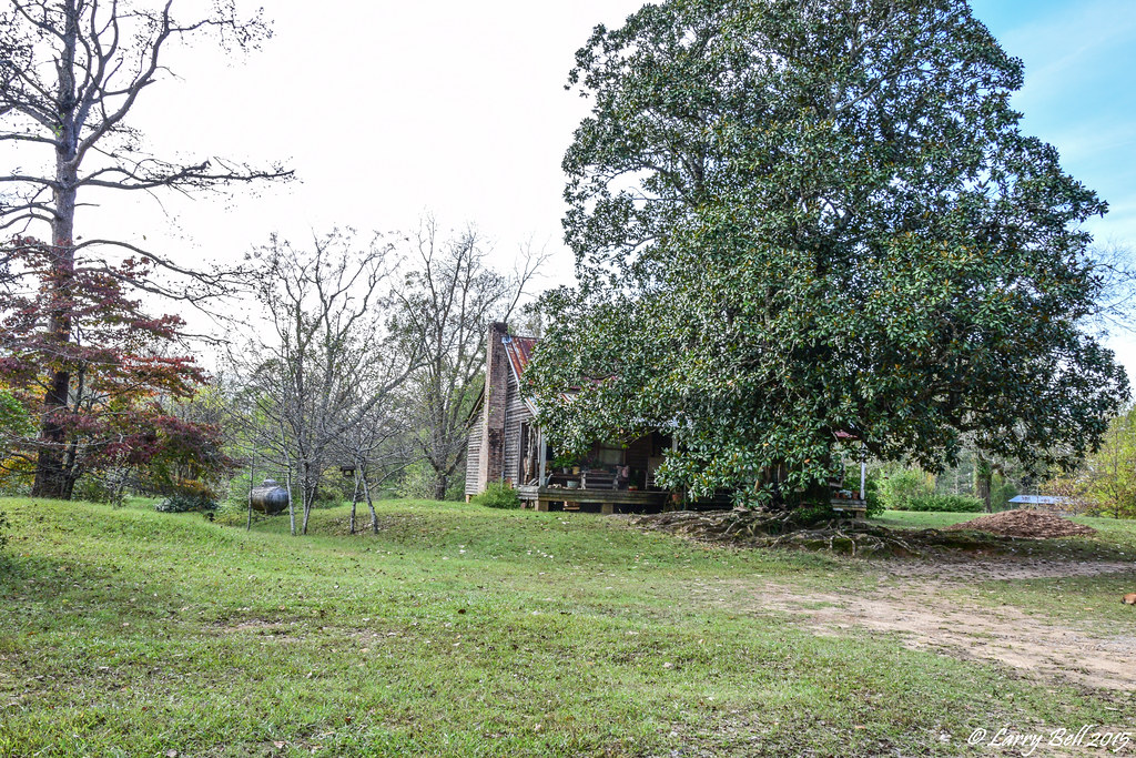
DSC_8661.jpg
DSC_8642.jpg
DSC_0241.jpg
DSC_0240.jpg
DSC_0239.jpg
DSC_0238.jpg
DSC_0236.jpg
DSC_0234.jpg
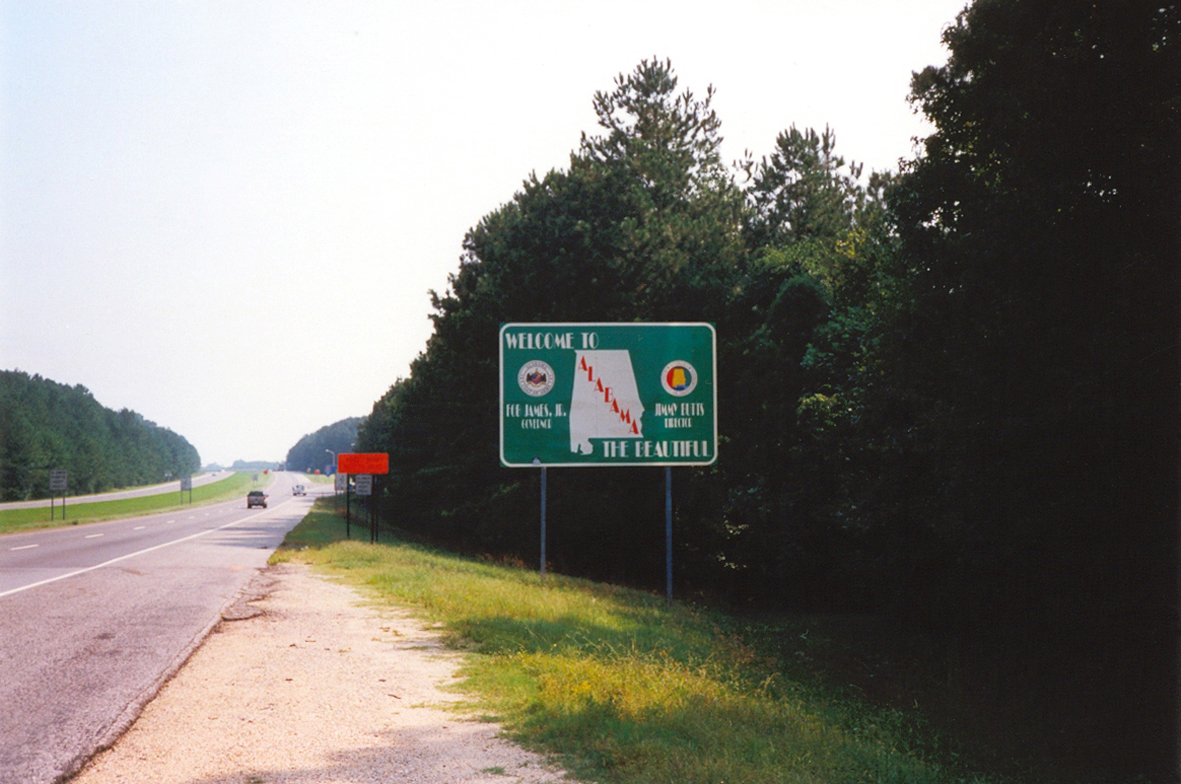
Welcome To Alabama

What has 4 eyes but can't see? #MISSISSIPPI :) hehe #joke #mi #driving #roadtrip #firsttimehere :)

Alamuchee Bellamy
DSC_0302.jpg
DSC_0301.jpg
DSC_0300.jpg
DSC_0298.jpg
DSC_0297.jpg

DSC_0296.jpg
DSC_0295.jpg
DSC_0292.jpg
DSC_0290.jpg
DSC_0288.jpg
DSC_0287.jpg
DSC_0285.jpg
Topographic Map of York, AL, USA
Find elevation by address:

Places in York, AL, USA:
Places near York, AL, USA:
450 Benn Kidd Rd
Co Rd 27, Cuba, AL, USA
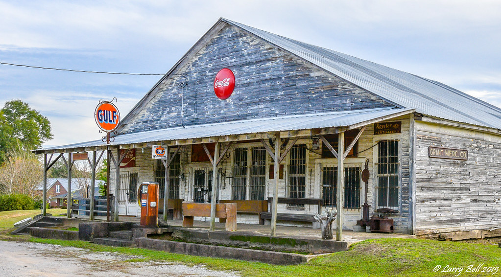
Cuba
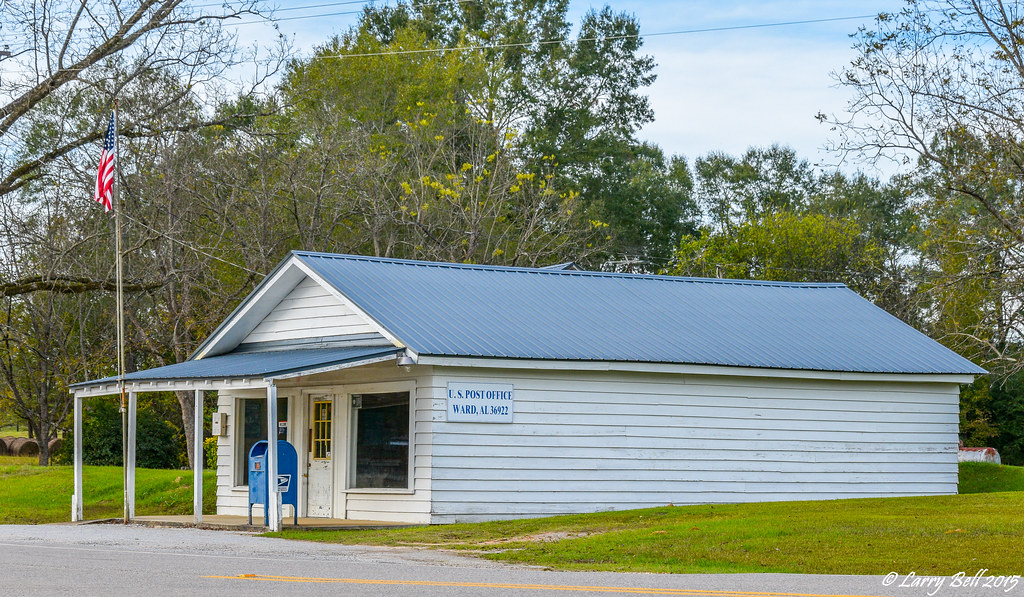
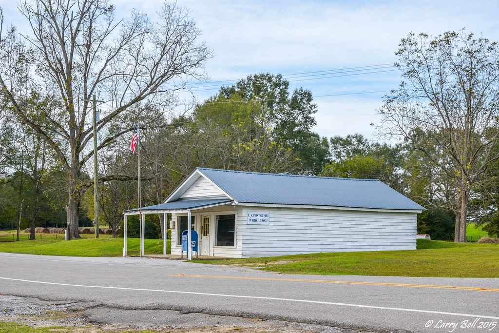
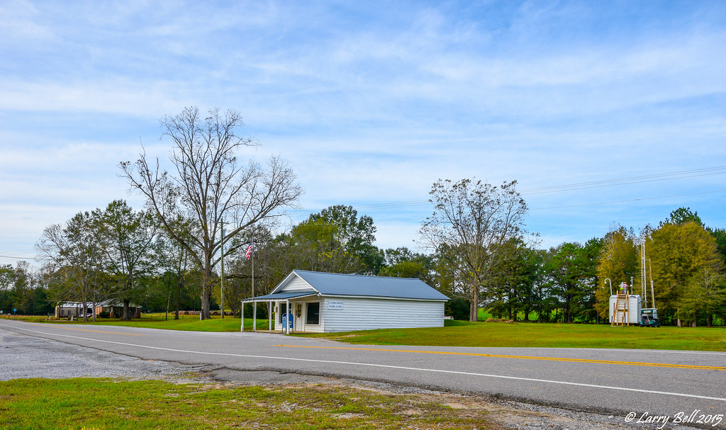
Ward
Sumter County
Livingston City Hall
Livingston
201 Church St
202 Daryle St
Walnut St, Bellamy, AL, USA
Bellamy
Lilita Rd, Livingston, AL, USA
Co Rd 22, Livingston, AL, USA
Co Rd 20, Emelle, AL, USA
AL-28, Livingston, AL, USA
30 Quarter Ln, York, AL, USA
Emelle
808 Linton Rd
Emerald Ln, Boligee, AL, USA
US-80, Demopolis, AL, USA
Recent Searches:
- Elevation of Corso Fratelli Cairoli, 35, Macerata MC, Italy
- Elevation of Tallevast Rd, Sarasota, FL, USA
- Elevation of 4th St E, Sonoma, CA, USA
- Elevation of Black Hollow Rd, Pennsdale, PA, USA
- Elevation of Oakland Ave, Williamsport, PA, USA
- Elevation of Pedrógão Grande, Portugal
- Elevation of Klee Dr, Martinsburg, WV, USA
- Elevation of Via Roma, Pieranica CR, Italy
- Elevation of Tavkvetili Mountain, Georgia
- Elevation of Hartfords Bluff Cir, Mt Pleasant, SC, USA