Elevation of Leila Ln, Jamestown, CA, USA
Location: United States > California > Tuolumne County > Jamestown >
Longitude: -120.48107
Latitude: 37.9668863
Elevation: 402m / 1319feet
Barometric Pressure: 97KPa
Elevation Map:
Satellite Map:
Related Photos:
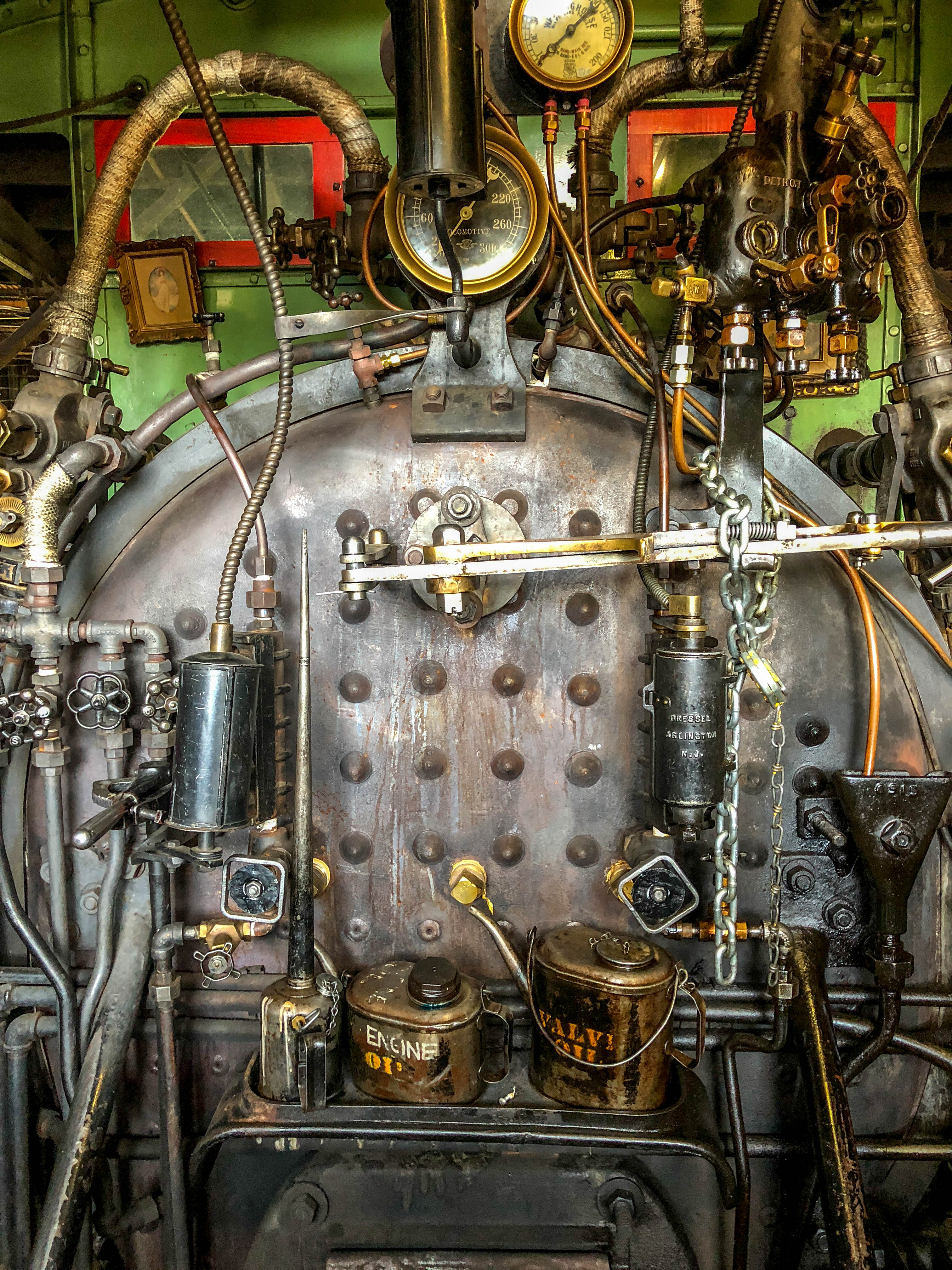
Sierra #3 engine

Doggie in the Window

Bontrager Livestrong race preparation

RV in Jamestowm

View up the spiral staircase leading to the bottom of Moaning Cavern, CA - moaning16

Sierra Railroad Map of the Mother Lode Region of California

Moaning Cave Main Chamber 1

A sunset in February
The aroma is definitely in the air

A sunset in February

Deadman Gulch

Best When Unexpected

2015-Jun-30-Yosemite-7.jpg

Room 112

Sierra Railway Roundhouse (Panorama)

Utica Wheel

Occupational Olympics: Patterns In Architecture And Nature
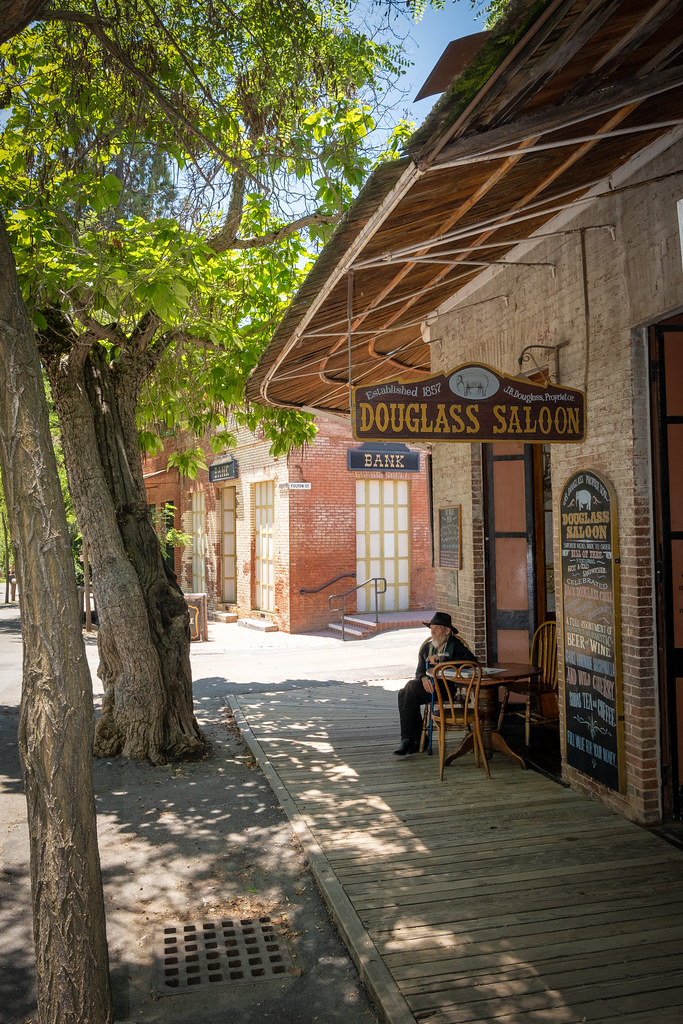
The Douglass Saloon

CVIN - Hwy 4 & Murphys Grade Rd

From inside the mouth of the downstream entrance to the Natural Bridge of Calaveras County, CA - natural27
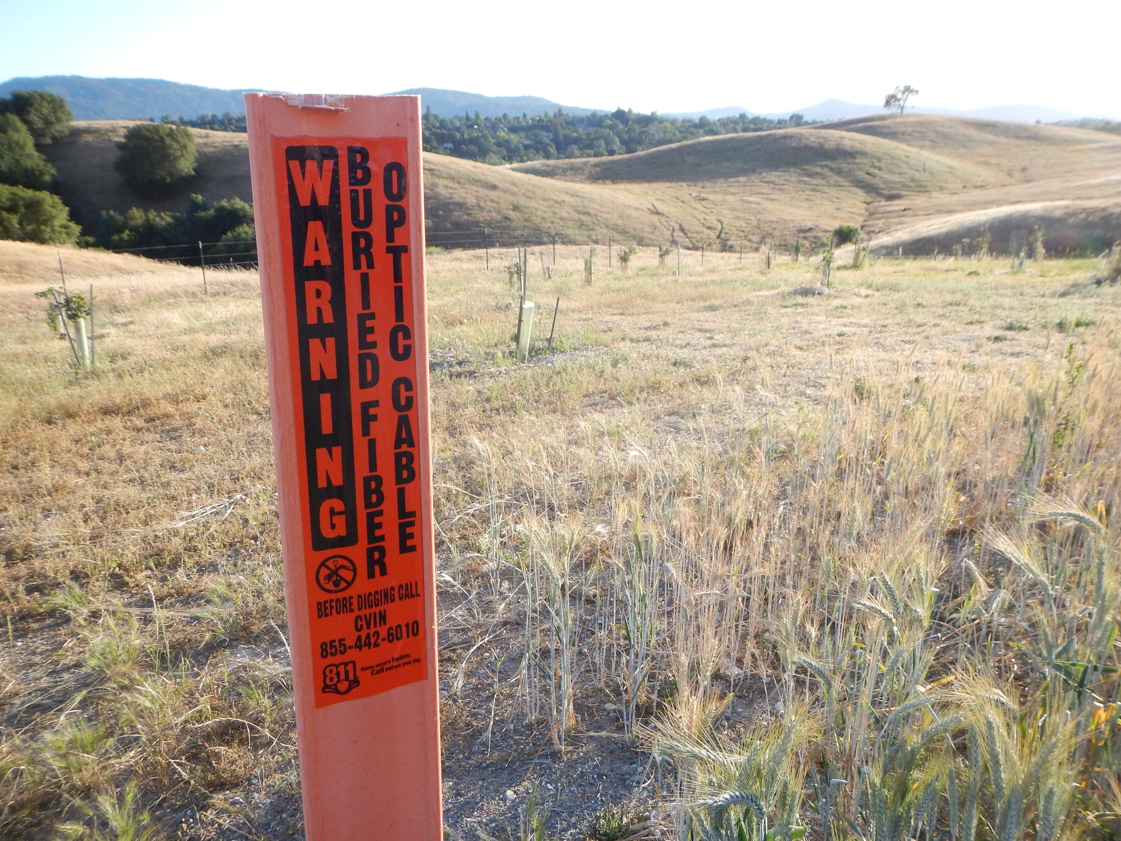
CVIN marker

California, New Melones Lake

Angels Camp, California
Sierra Northern Along Highway 108

Angels Camp, California

Thank You Julie (Julev69) Explored
Columbia, California

Oaken Sunset

Melones Lake

Woods Crossing, Tuolumne County, California

Woods Crossing, Tuolumne County, California

New Melones Lake

California hasn't had rain in a while and before that it@was a while too. All the reservoirs are below 50% full, old list archeological sites are being revealed: the governor declared a state of emergency complete with rationing and fines and neighbours r

Upstream entrance to the Natural Bridge of Calaveras County, CA - natural31

Trail to Natural Bridge
Don Pedro Lake
Topographic Map of Leila Ln, Jamestown, CA, USA
Find elevation by address:

Places near Leila Ln, Jamestown, CA, USA:
Dante Dr, Jamestown, CA, USA
17421 Table Mountain Rd
Chicken Ranch Road
High School Road
Bell Mooney Rd, Jamestown, CA, USA
9955 Bell Mooney Rd
Jamestown
10320 Preston Ln
10554 Calamity Jane Ln
Campo Seco Rd, Jamestown, CA, USA
Jacksonville Rd, Jamestown, CA, USA
Golf Links Road
CA-, Jamestown, CA, USA
18923 North Dr
11100 Circle Dr
16561 Jacksonville Rd
Outlook Dr, Jamestown, CA, USA
16532 Stent Cut Off Rd
16052 Jacksonville Rd
16052 Jacksonville Rd
Recent Searches:
- Elevation of Corso Fratelli Cairoli, 35, Macerata MC, Italy
- Elevation of Tallevast Rd, Sarasota, FL, USA
- Elevation of 4th St E, Sonoma, CA, USA
- Elevation of Black Hollow Rd, Pennsdale, PA, USA
- Elevation of Oakland Ave, Williamsport, PA, USA
- Elevation of Pedrógão Grande, Portugal
- Elevation of Klee Dr, Martinsburg, WV, USA
- Elevation of Via Roma, Pieranica CR, Italy
- Elevation of Tavkvetili Mountain, Georgia
- Elevation of Hartfords Bluff Cir, Mt Pleasant, SC, USA