Elevation of Bell Mooney Rd, Jamestown, CA, USA

Location: United States > California > Tuolumne County > Jamestown >

Longitude: -120.43053

Latitude: 37.9382925

Elevation: 419m / 1375feet

Barometric Pressure: 96KPa

Elevation Map:

elevation map of Bell Mooney Rd, Jamestown, CA, USA

Satellite Map:

Satellite map of Bell Mooney Rd, Jamestown, CA, USA

Related Photos:

sierra 3 moviestarlocomotive 1897 railtown jamestown engine
Sierra #3 engine
california sonora cycling nikon nikkor clovis bikeracing amgen 2012 alr d90 u23 3570mmf28d amgentourofcalifornia bontragerlivestrong
Bontrager Livestrong race preparation
vehicle rv smalltown jamestownca lomoy
RV in Jamestowm
california park railroad train state railway sierra historic jamestown roundhouse 1897 railtown
Sierra Railway Roundhouse (Panorama)
usa caves caving moaningcaverns touristcave
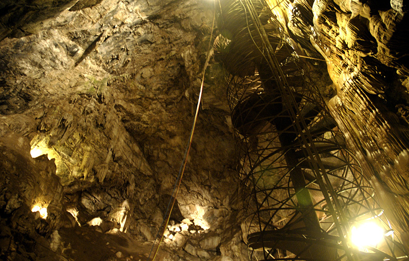
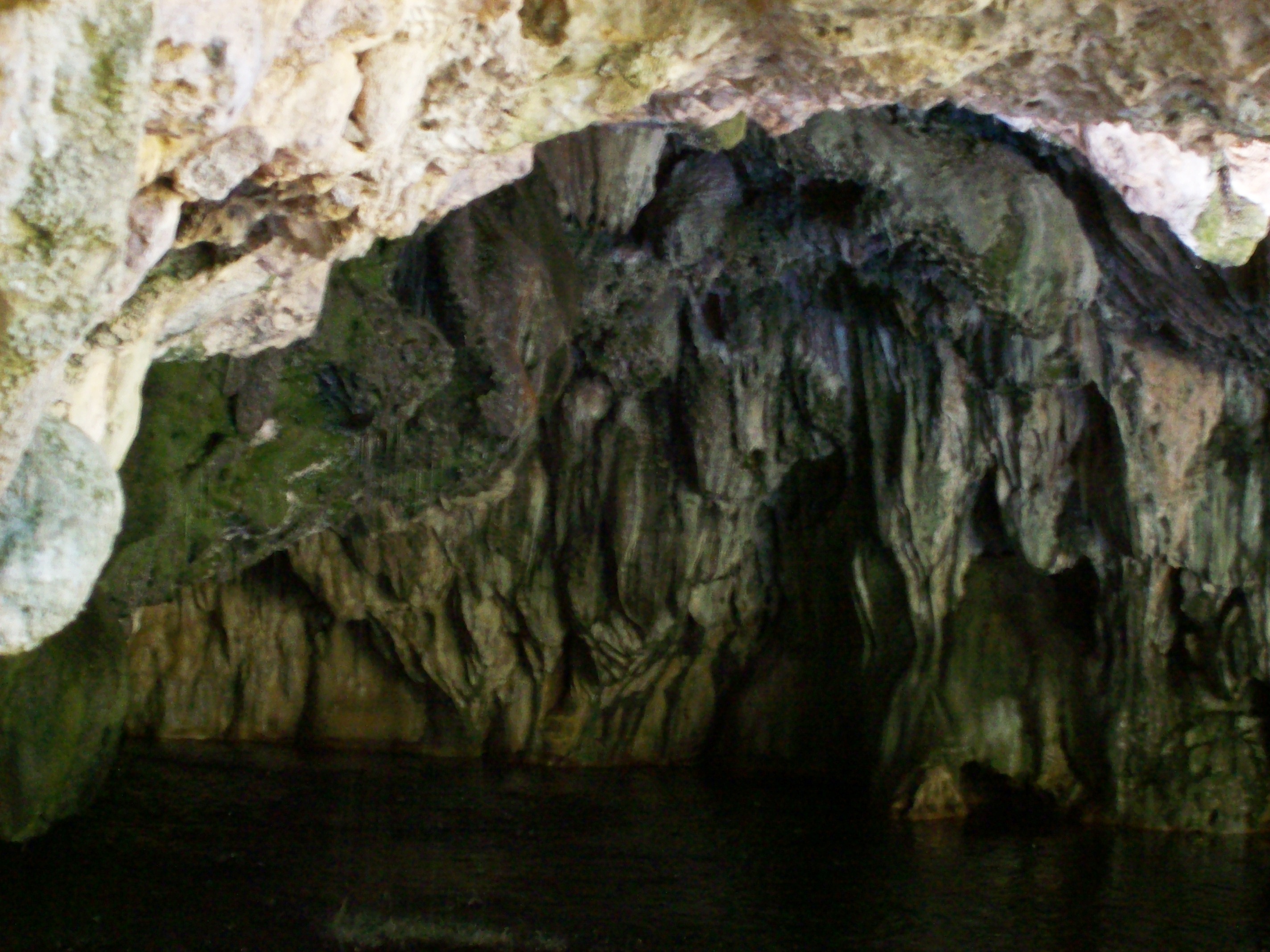
Moaning Cavern from the bottom.
square squareformat iphoneography instagramapp uploaded:by=instagram foursquare:venue=4d8241e92ad9a14378e28328
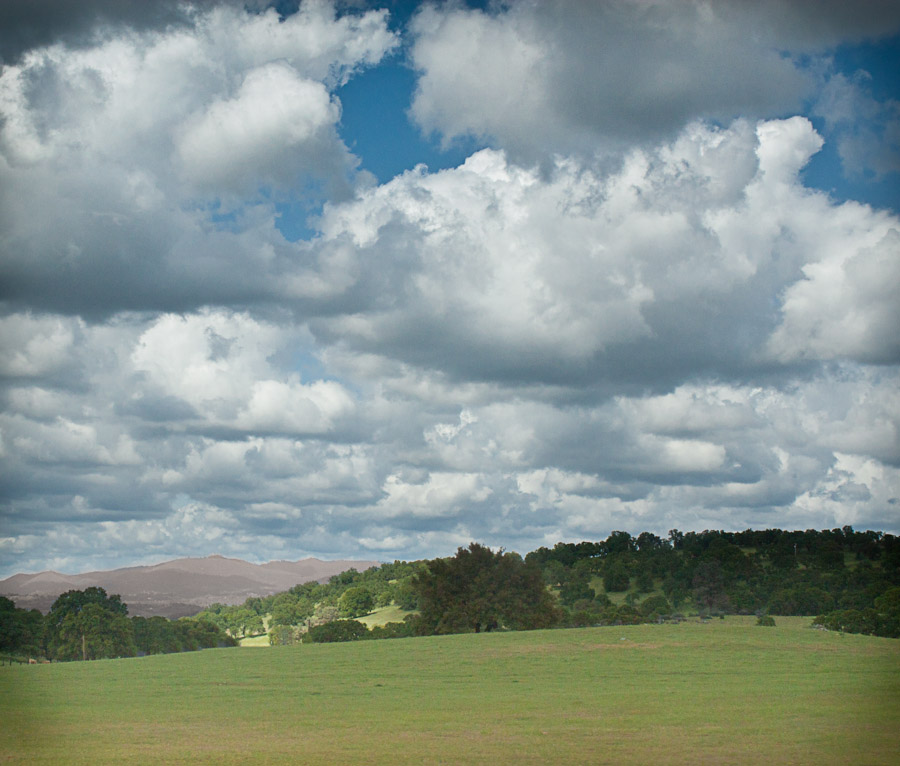
Love views #Sonora #Sunrise
california nightphotography trees northerncalifornia night stars lights wideangle sagittarius astrophotography yosemite astronomy nightsky startrails lightpollution lightstreams milkyway groveland scorpius highway120 longexposures sierranevadamountains wideanglelens scutum sierranevadafoothills earthandsky donpedrolake sierranevadamountainrange longexposurephotography priestgrade stuckincustoms milkywaygalaxy Astrometrydotnet:status=failed tuolomnecounty nightskyimages widefieldastronomy Astrometrydotnet:id=alpha20130328818741
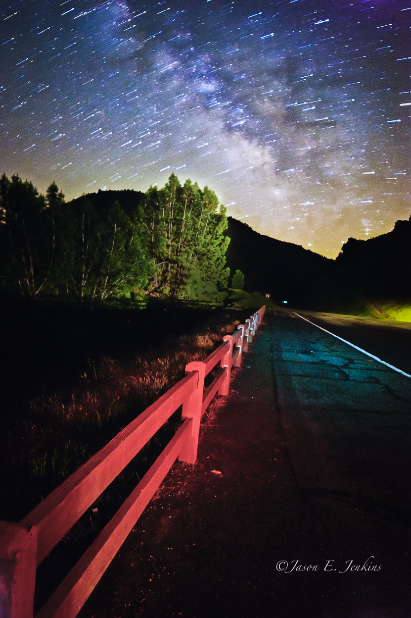
"Galactic Kaleidoscope"
california sky orange lake flower green water grass yellow cloudy poppies popy poppie calaverascounty newmelones
Dreaming of Spring.
trees sky reflection green water grass landscape
WHATS WRONG WITH THIS PHOTO?
sonora canon grotto 1740mm hdr tablemountain crag 40d
Best When Unexpected
california ca nationalpark yosemite yosemitenationalpark triptoyosemite usnationalparkservice
Trip to Yosemite 032
square squareformat normal iphoneography instagramapp uploaded:by=instagram
A Room with a view.
bridge lake water twilight 2010 fisheyelens waterscape route49 ca395 april2010 donpedroresevoir ca395roadtrip
Lake Views
california naturalbridge cave cavern stalagtites calaverascounty speleothems mlhradio naturalbridgetrail uppernaturalbridge
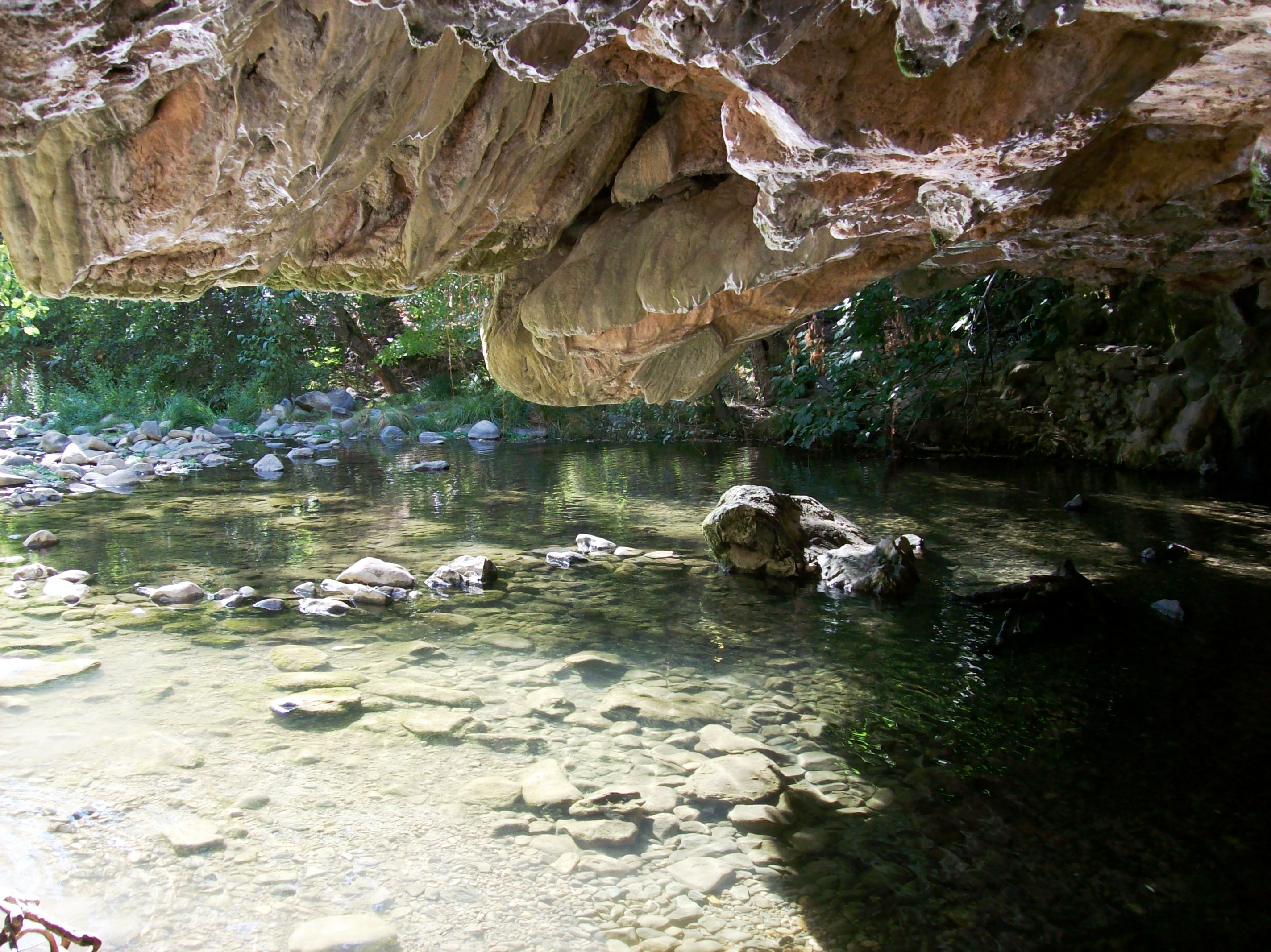
From inside the mouth of the downstream entrance to the Natural Bridge of Calaveras County, CA - natural27
If only in b&w
moaningcavern
The View From Below
bridge lake water twilight 2010 fisheyelens waterscape route49 ca395 april2010 donpedroresevoir ca395roadtrip
Lake Views
school roof shadow eye college nature sonora architecture high triangle view patterns brandon competition columbia symmetry ceiling system blackburn sprinkler dome hexagon judge occupational olympics worms bb iconic shs claimjumpers similarities repition crossbeam columbiacollege tuolumnecounty oakpavillion blackburnbrandon occupationalolympics brandonblackburn
Occupational Olympics: Patterns In Architecture And Nature
male fg smew mergellusalbellus
Smew - male
california ca office wells columbia express fargo tuolumne motherlode assay
Wells Fargo Express Buildings
california ca nationalpark yosemite yosemitenationalpark triptoyosemite usnationalparkservice
Trip to Yosemite 034
california ca bridge sky cloud lake topf25 fog angel clouds landscape interestingness heaven skies wind cloudy topv999 lakes foggy bridges windy reservoir explore ethereal mystical top100 breeze sierranevada topv9999 magical heavenly f25 28135mm breezy airy top25 highway49 sierranevadamountains calaverascounty top50 stanislausriver newmelones sr49 landscapephotography top500 topvaa 100faves interestingness17 tuolumnecounty i500 specland landscapephotos fivestarsgallery stateroute49 impressedbeauty superaplus landscapephoto goldenphotographer
And Then Came The Wind - Highway 49 Bridge Across New Melones Reservoir - Sierra Nevada Mountains, California
sitting hat d850 livestock landscape candid oldtown street people carriage blackwhite monochrome quiet horse california posing columbia unitedstates us
Columbia, California
longexposure nightphotography sky nature water colors northerncalifornia fence stars air science sagittarius galaxy astrophotography yosemite aurora astronomy nightsky yosemitenationalpark universe constellations cosmos lightpollution milkyway scorpius highway120 longexposures sierranevadamountains scutum sierranevadafoothills landscapephotography rokinon milkywaygalaxy airglow galacticcloud adobelightroom3 adobephotoshopcc
night vista
Sunset from Marilyn's
railroad train railway trains local freighttrain sierranorthern seraoakdalebranch sera52 fasslerflyer keystonecalifornia
Sierra Northern Along Highway 108
California Retreet
california landscape yosemite 1224mm d90 kirbymiller
DSC_8845.jpg
california tree grass sunrise unitedstates jamestown
The giving tree
california park underground sony cavern murphys moaning angelscamp vallecito moaningcavernpark nex5n
Moaning Cavern Park
square squareformat iphoneography instagramapp uploaded:by=instagram
Local sights. #rural #country #stream #water
california green water sonora unitedstates centralvalley hetchhetchy snowpack californiawater newmelones cawater cadrought
Central-_Valley_CA_20150308-2838
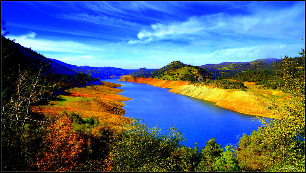
Melones Lake
california ca49 donpedroreservior fall2003caroadtrip
Fake Kodak Brownie Picture of Don Pedro Lake 2003
california windmill vintage pond unitedstates antique northamerica agriculture oaktree motherlode tule tuolumnecounty canoneos50d keystoneca
Windmill and Oak Tree, Keystone, CA
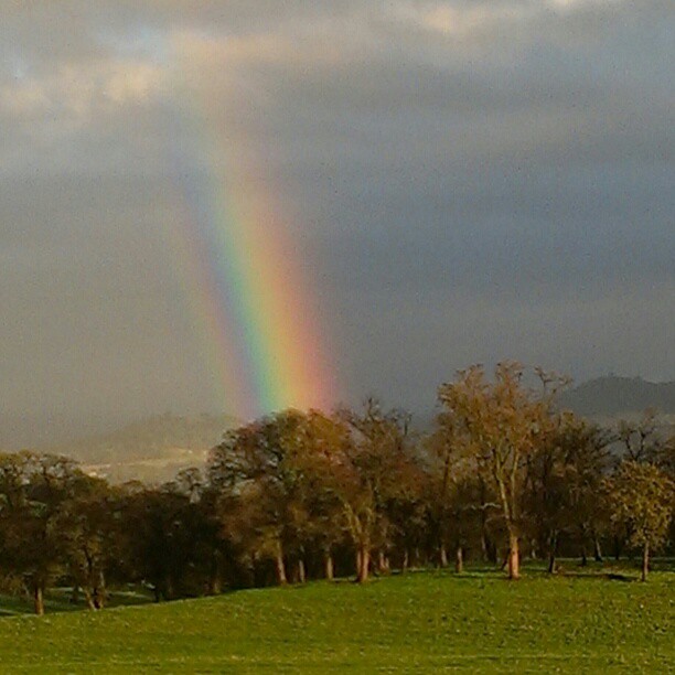
square squareformat normal iphoneography instagramapp uploaded:by=instagram foursquare:venue=4b9169eaf964a52079ba33e3
A Rainbow for you.
field clouds roadtripapril2011
They Are Far Away
california naturalbridge cave cavern stalagtites calaverascounty speleothems mlhradio naturalbridgetrail uppernaturalbridge
Cave entrance at the Natural Bridge of Calaveras County, Texas - natural15
california lake mountains color water scenery
Before The Rains
Former Site of Jacksonville, CA