Elevation of Left Hand, WV, USA
Location: United States > West Virginia > Roane County > Iii >
Longitude: -81.245121
Latitude: 38.6188185
Elevation: 223m / 732feet
Barometric Pressure: 99KPa
Elevation Map:
Satellite Map:
Related Photos:

Awesome sky over Auburn this evening.

On the road again
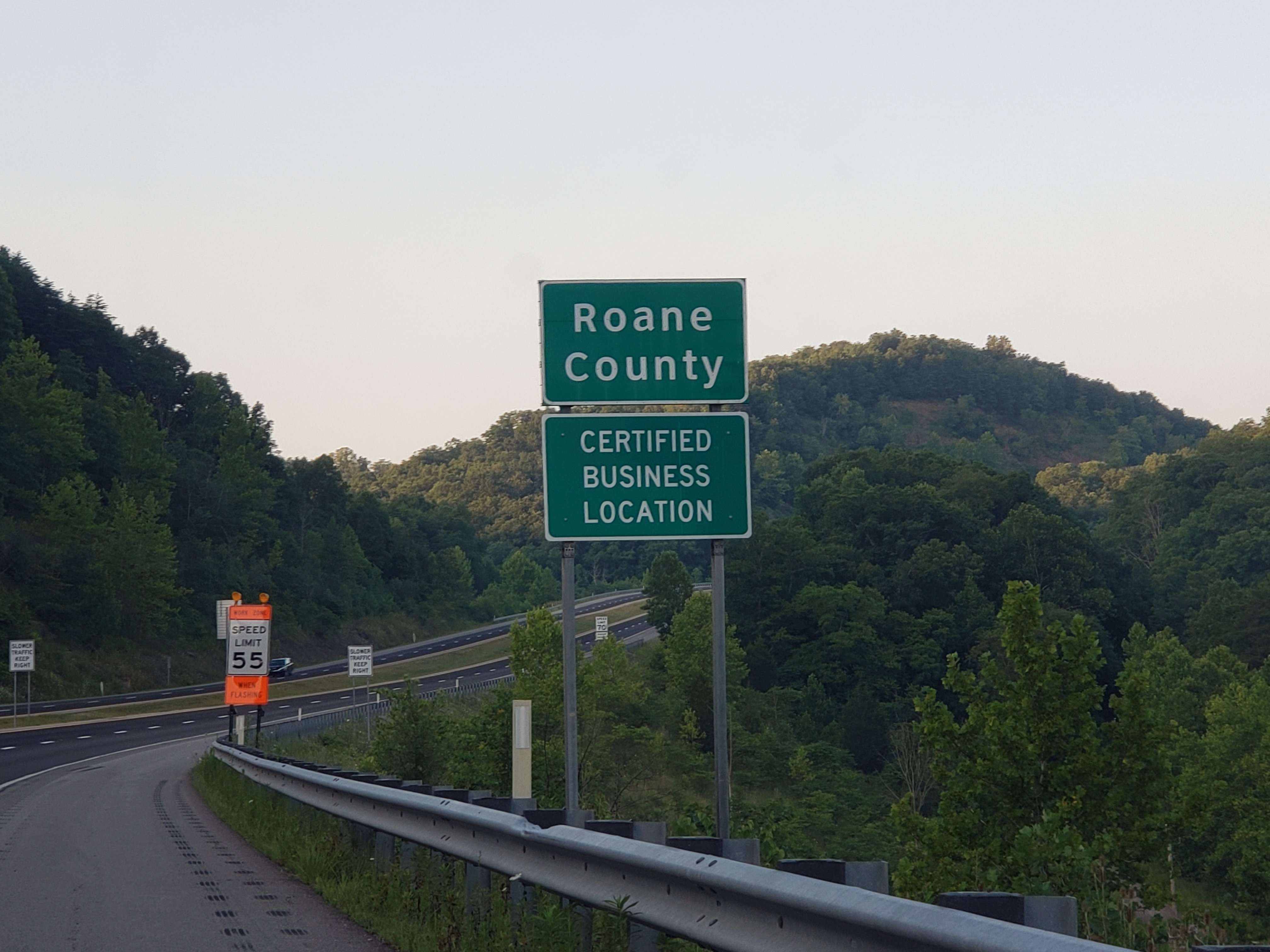
Roane Co., WV

#violin #color #contemporary #maker #eugeneholtier

New photo added to gallery

There's a new super hero in town.

Auburn sky #golden

Mushroom rock

I-79 Clendenin Park & Ride

WV 4 Outside of Clendenin

WV 4 Outside of Clendenin

WV 4 Outside of Clendenin

WV 4 Outside of Clendenin

WV 4 Outside of Clendenin

WV 4 Outside of Clendenin

Jenna Blessington
Topographic Map of Left Hand, WV, USA
Find elevation by address:

Places near Left Hand, WV, USA:
Iii
Amma
1606 Tariff Rd
137 Breeze Way
Hollywood Rd, Newton, WV, USA
Looneyville
2287 Bee Lick Run Rd
Clay Road
123 Linden Rd
Shannon Branch
Little Blue Creek Road
Slab Fork Road
Slab Fork Road
Procious
Twistabout Road
545 Mullins Mountain Dr
Walton
4005 Pink Rd
Clendenin
Rock Creek Road
Recent Searches:
- Elevation of Corso Fratelli Cairoli, 35, Macerata MC, Italy
- Elevation of Tallevast Rd, Sarasota, FL, USA
- Elevation of 4th St E, Sonoma, CA, USA
- Elevation of Black Hollow Rd, Pennsdale, PA, USA
- Elevation of Oakland Ave, Williamsport, PA, USA
- Elevation of Pedrógão Grande, Portugal
- Elevation of Klee Dr, Martinsburg, WV, USA
- Elevation of Via Roma, Pieranica CR, Italy
- Elevation of Tavkvetili Mountain, Georgia
- Elevation of Hartfords Bluff Cir, Mt Pleasant, SC, USA