Elevation of Roane County, WV, USA
Location: United States > West Virginia >
Longitude: -81.427898
Latitude: 38.7564882
Elevation: 292m / 958feet
Barometric Pressure: 98KPa
Elevation Map:
Satellite Map:
Related Photos:
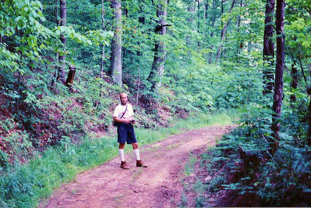
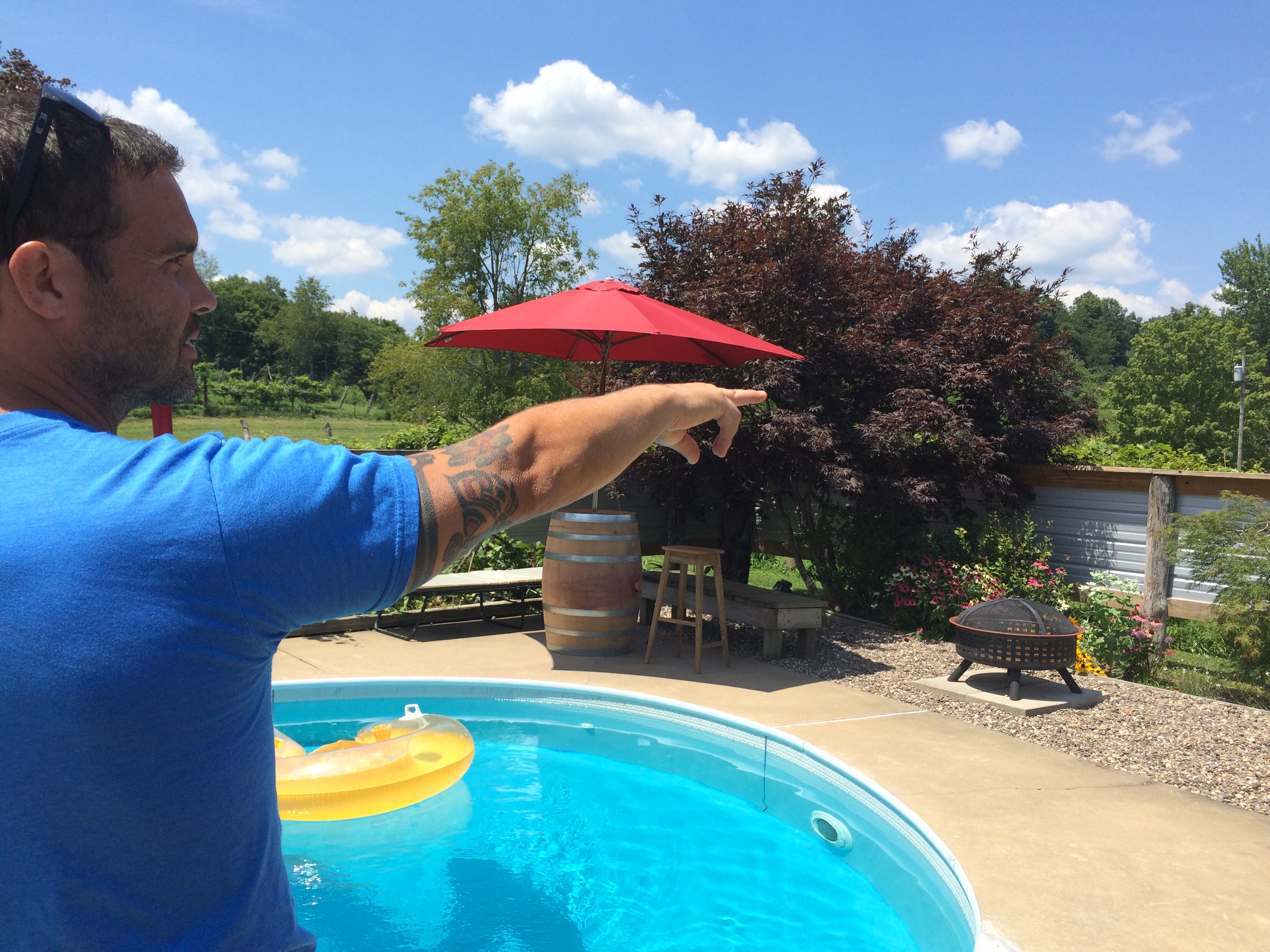
On the family farm, West Virginia
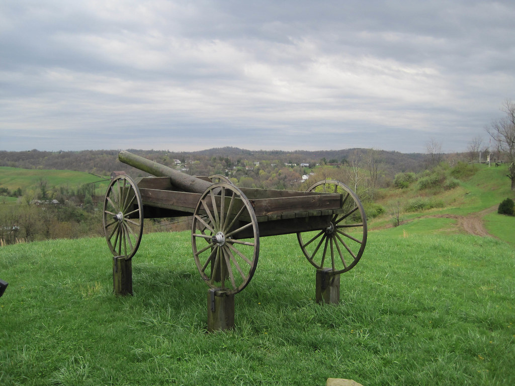
Spencer, WV
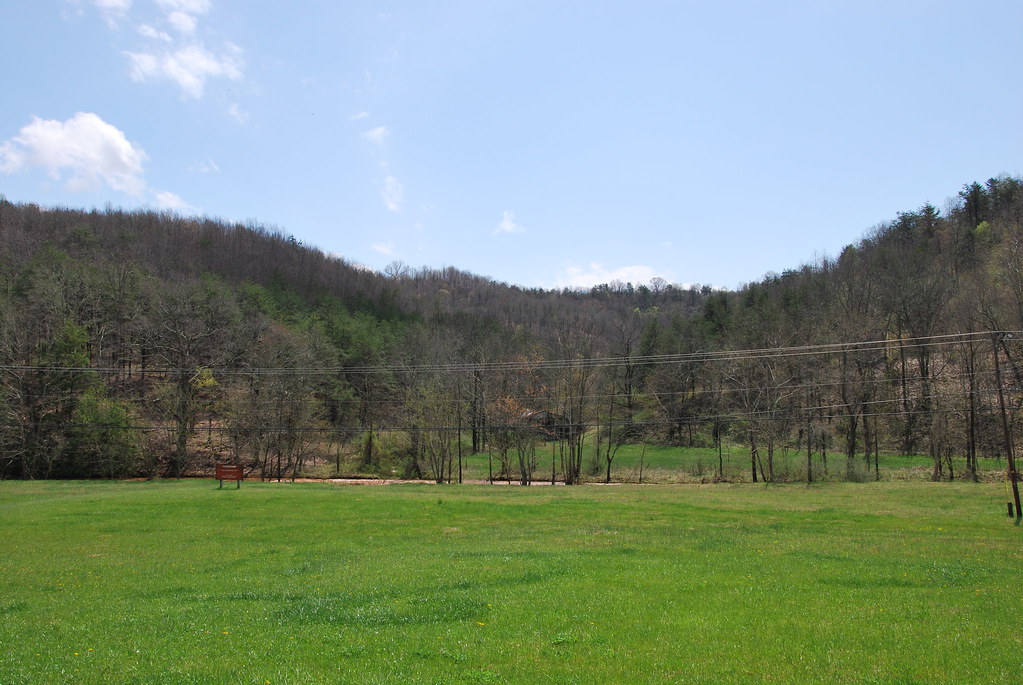
Frozen Camp WMA
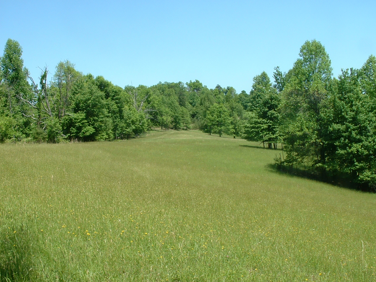
Southwest point

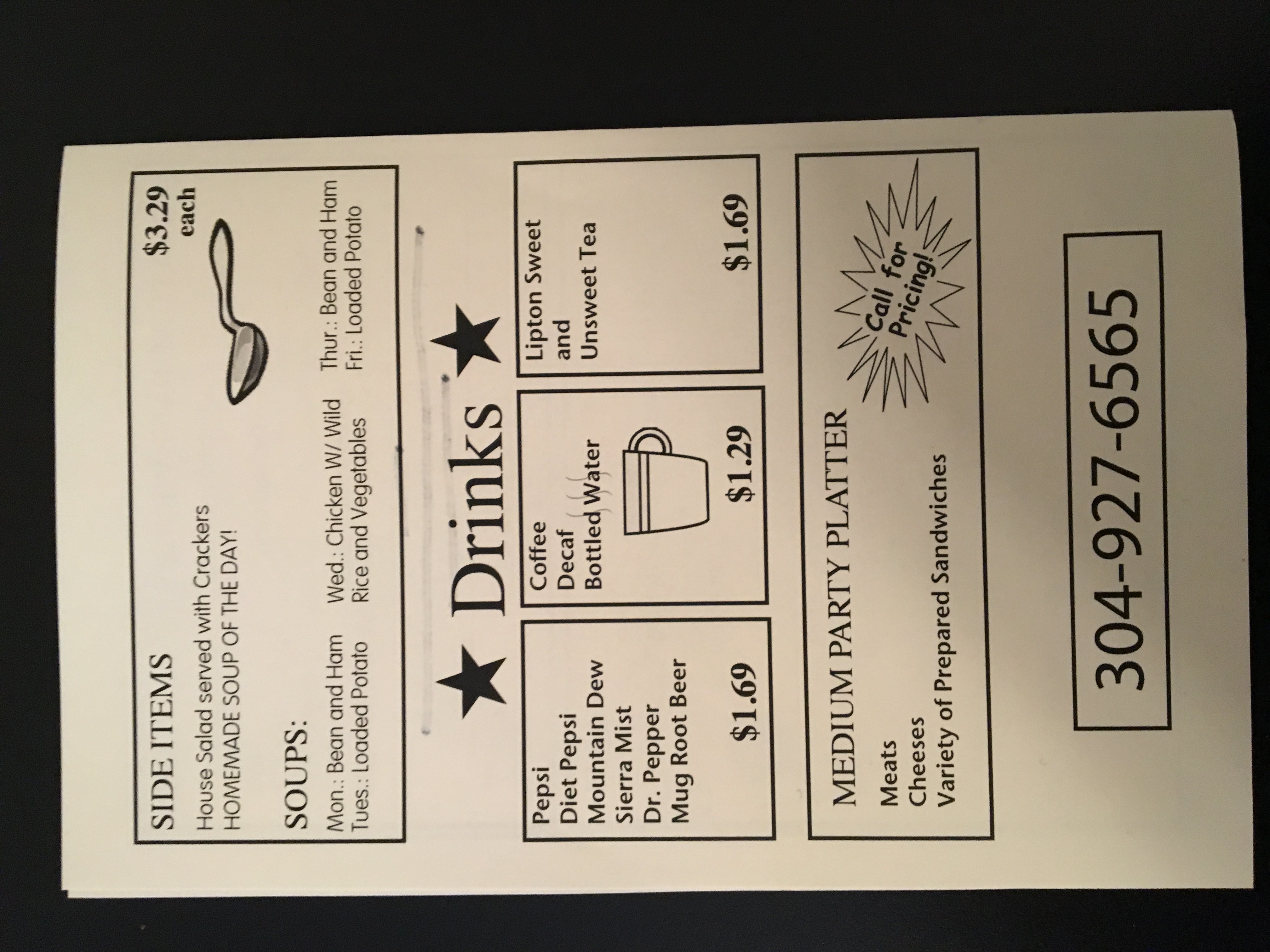
Church Street Deli
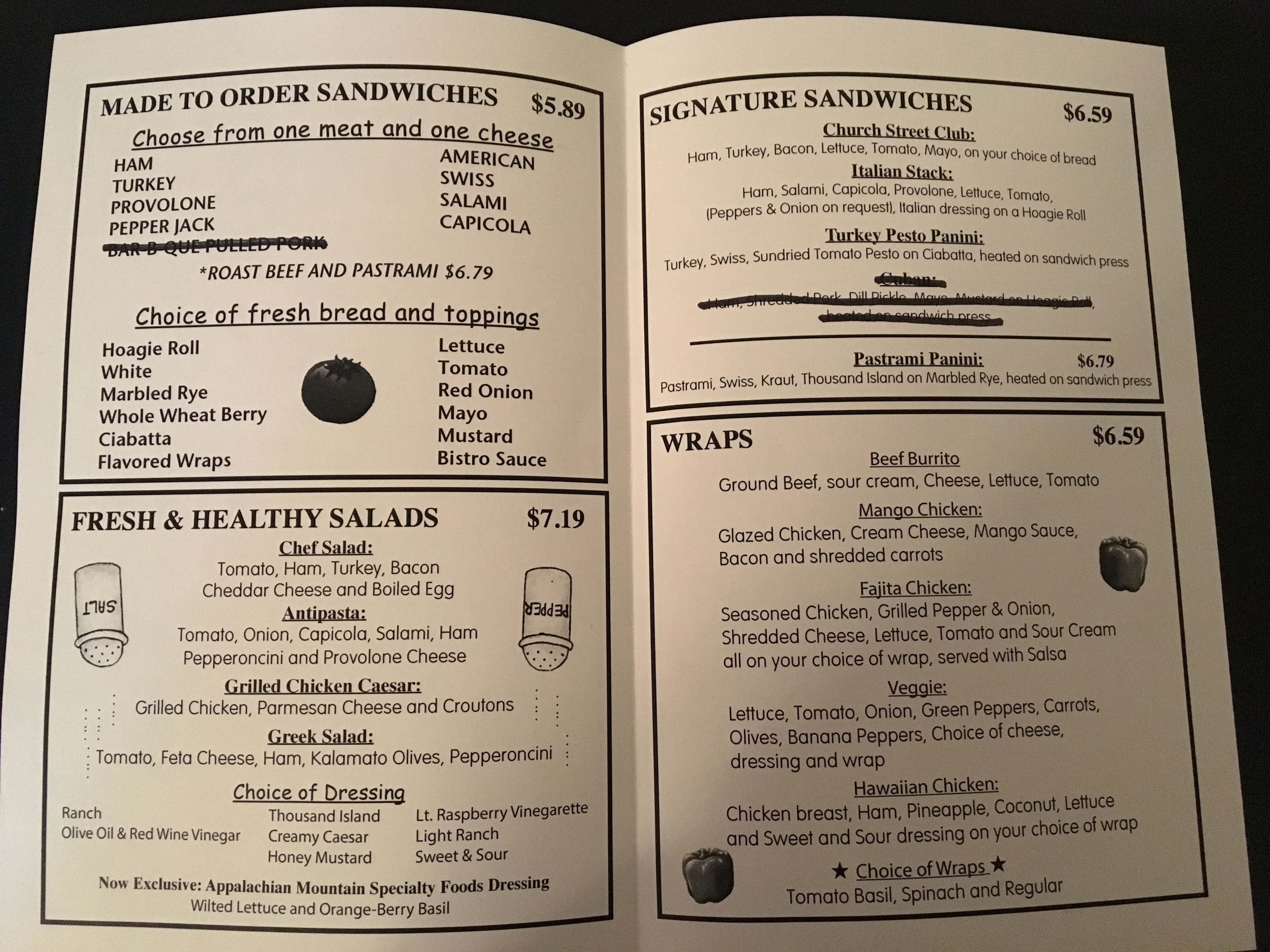
Church Street Deli
Church Street Deli

Church Street Deli
Church Street Deli
Church Street Deli

Church Street Deli
Church Street Deli
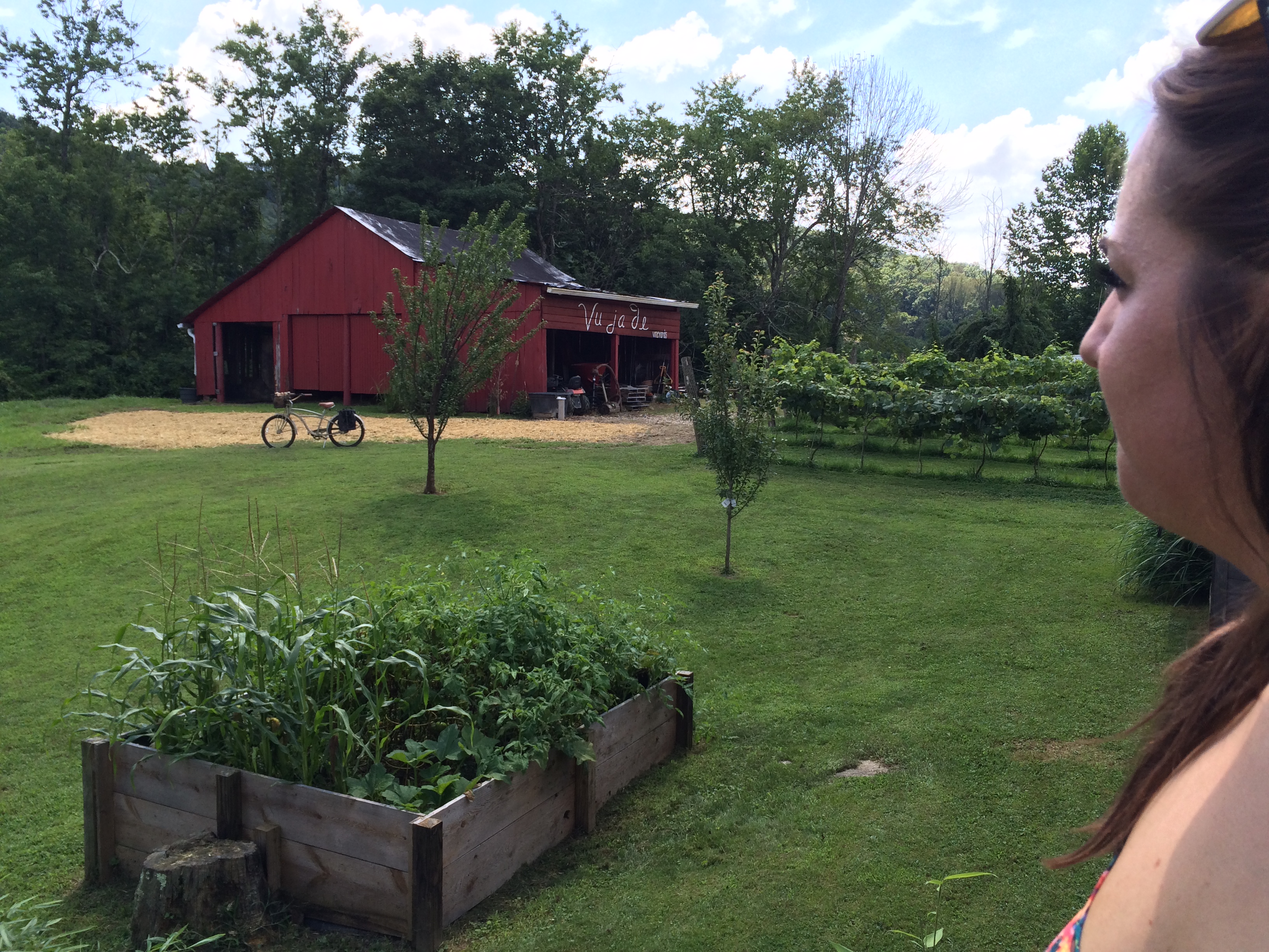
Vu ja de
Vu ja de
Vu ja de

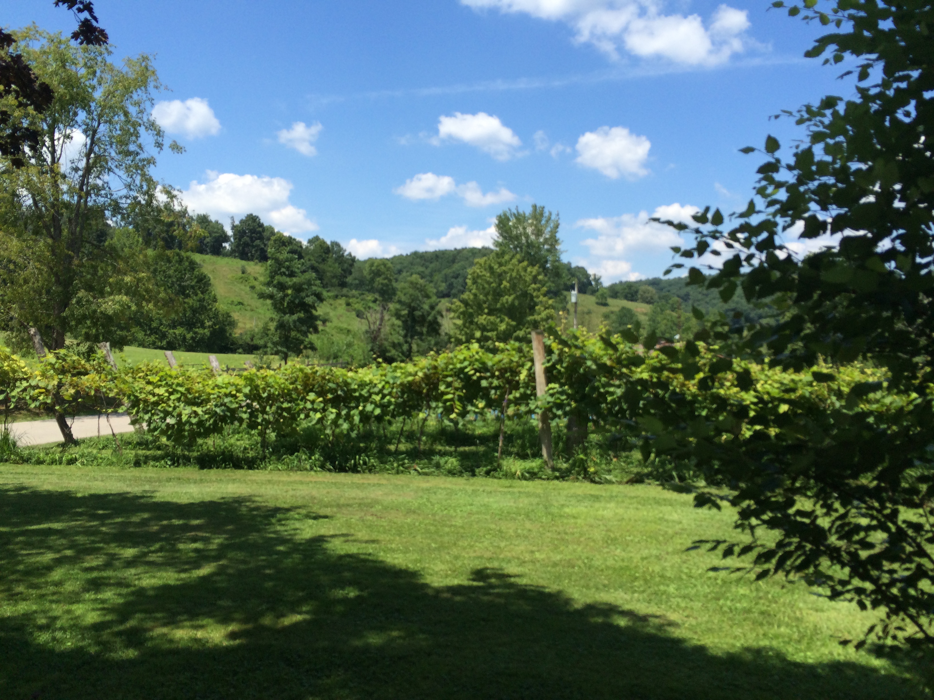
Vu ja de

Vu ja de
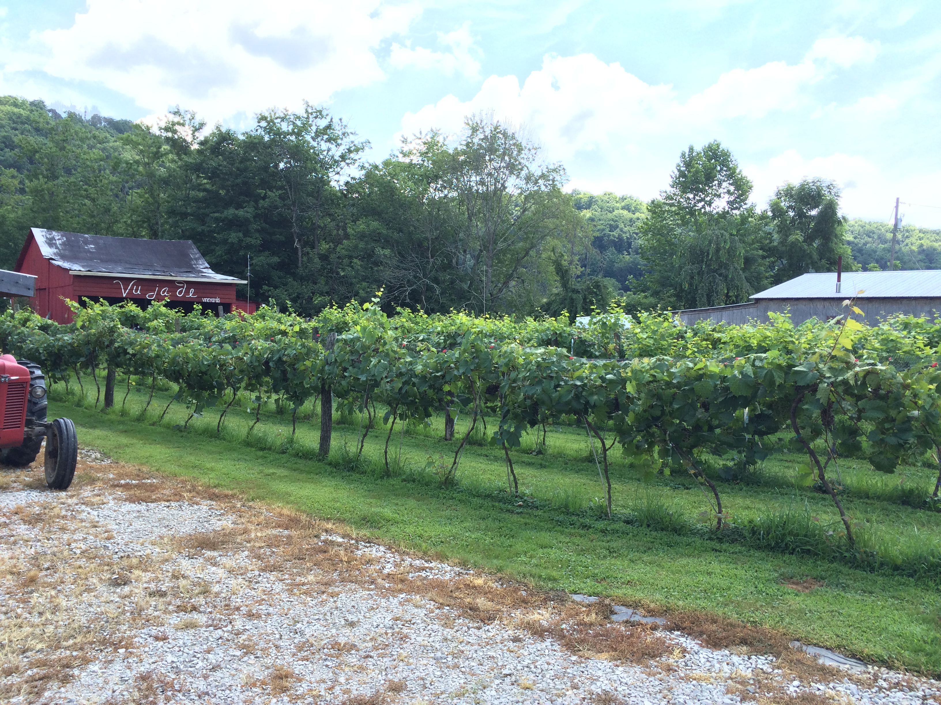
Vu ja de
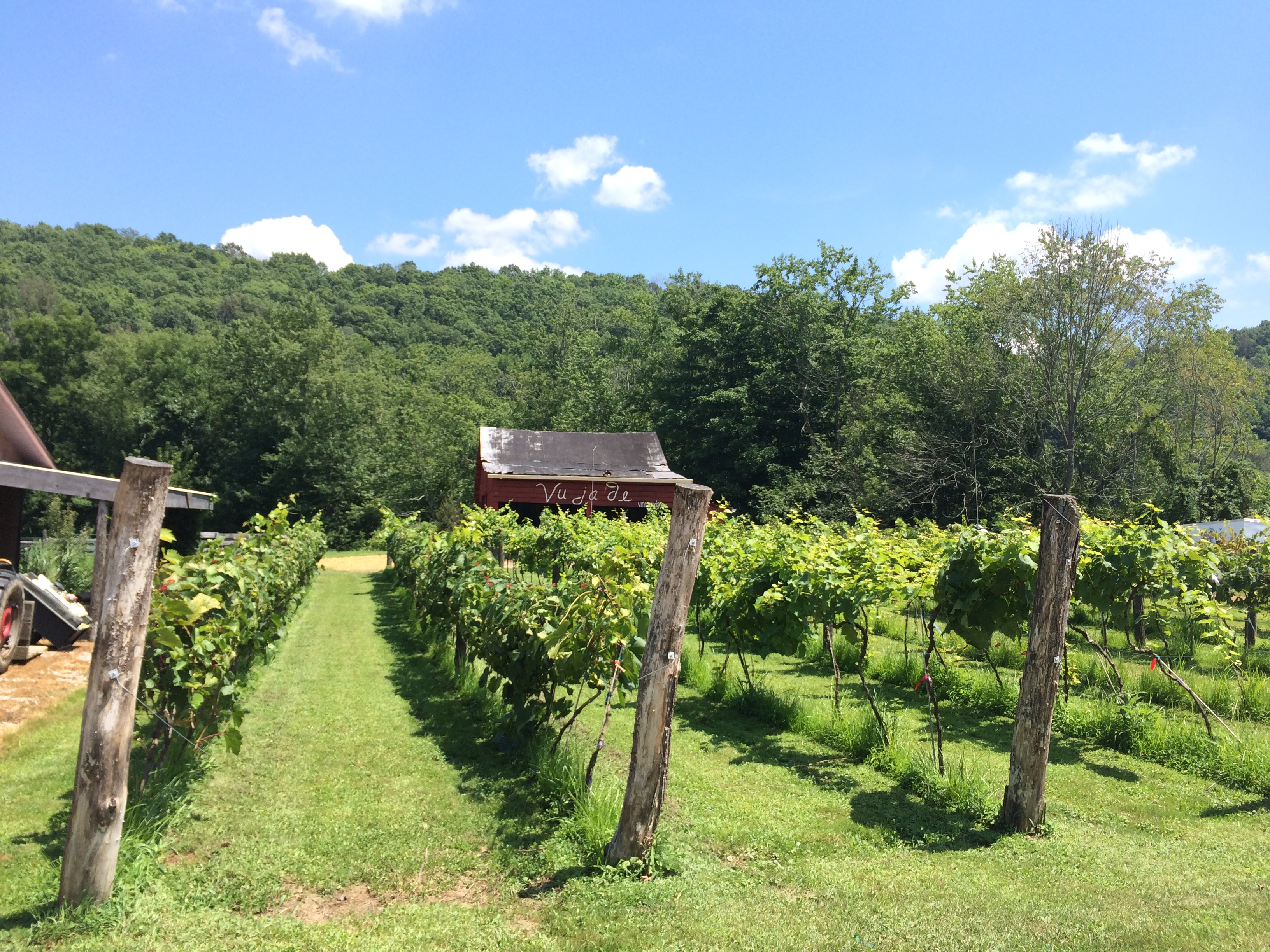
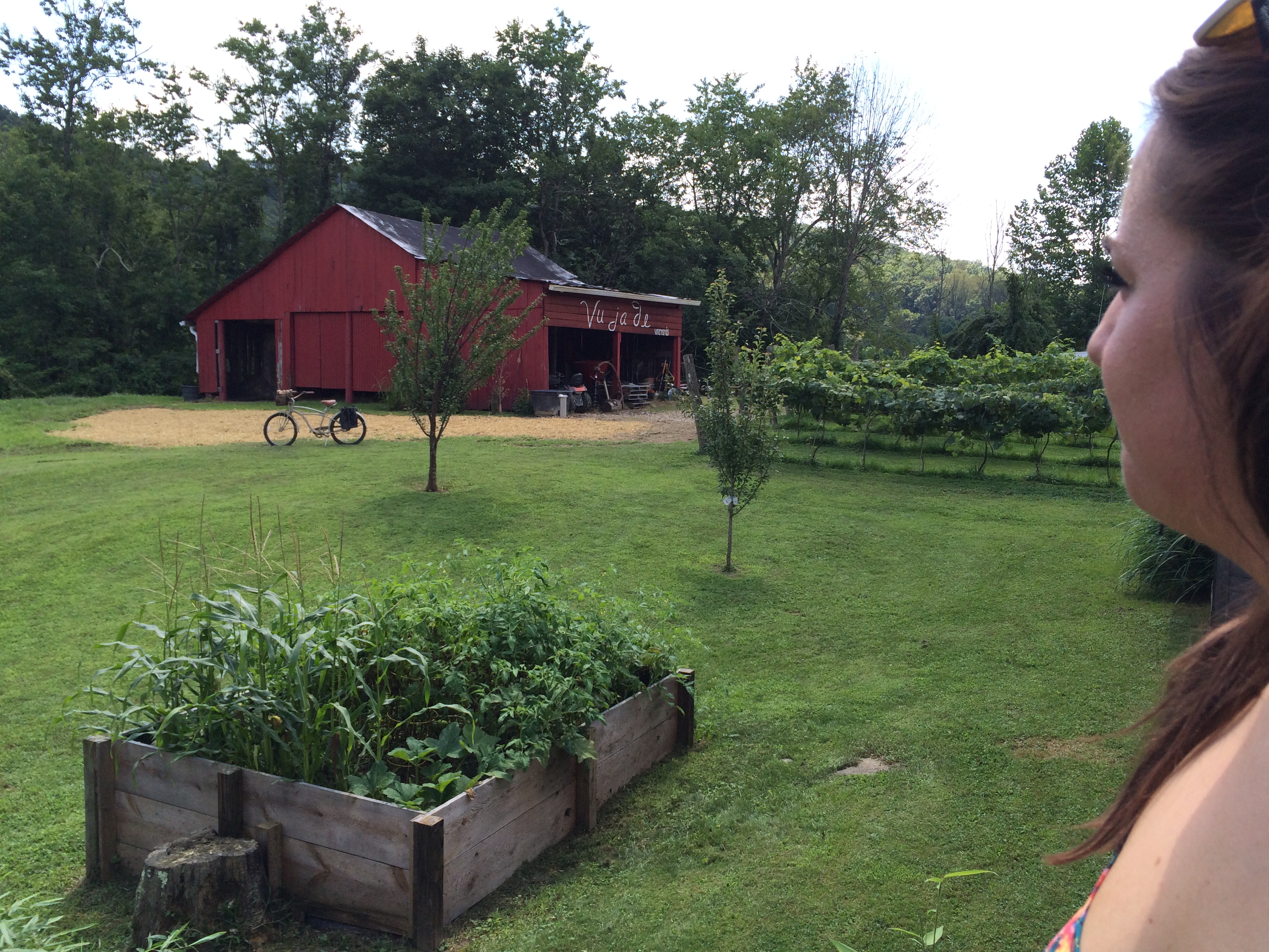
Vu ja de
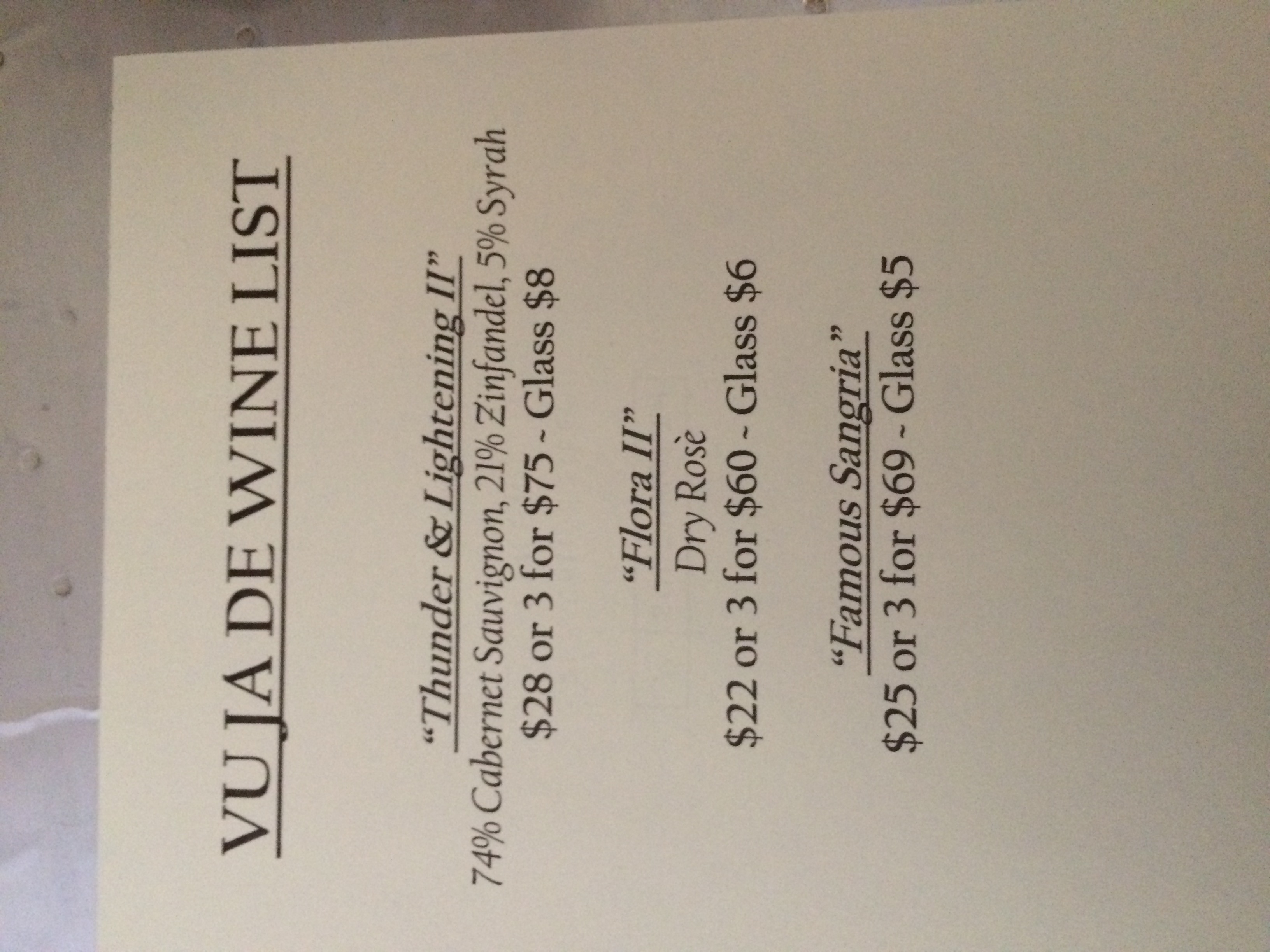
Vu ja de
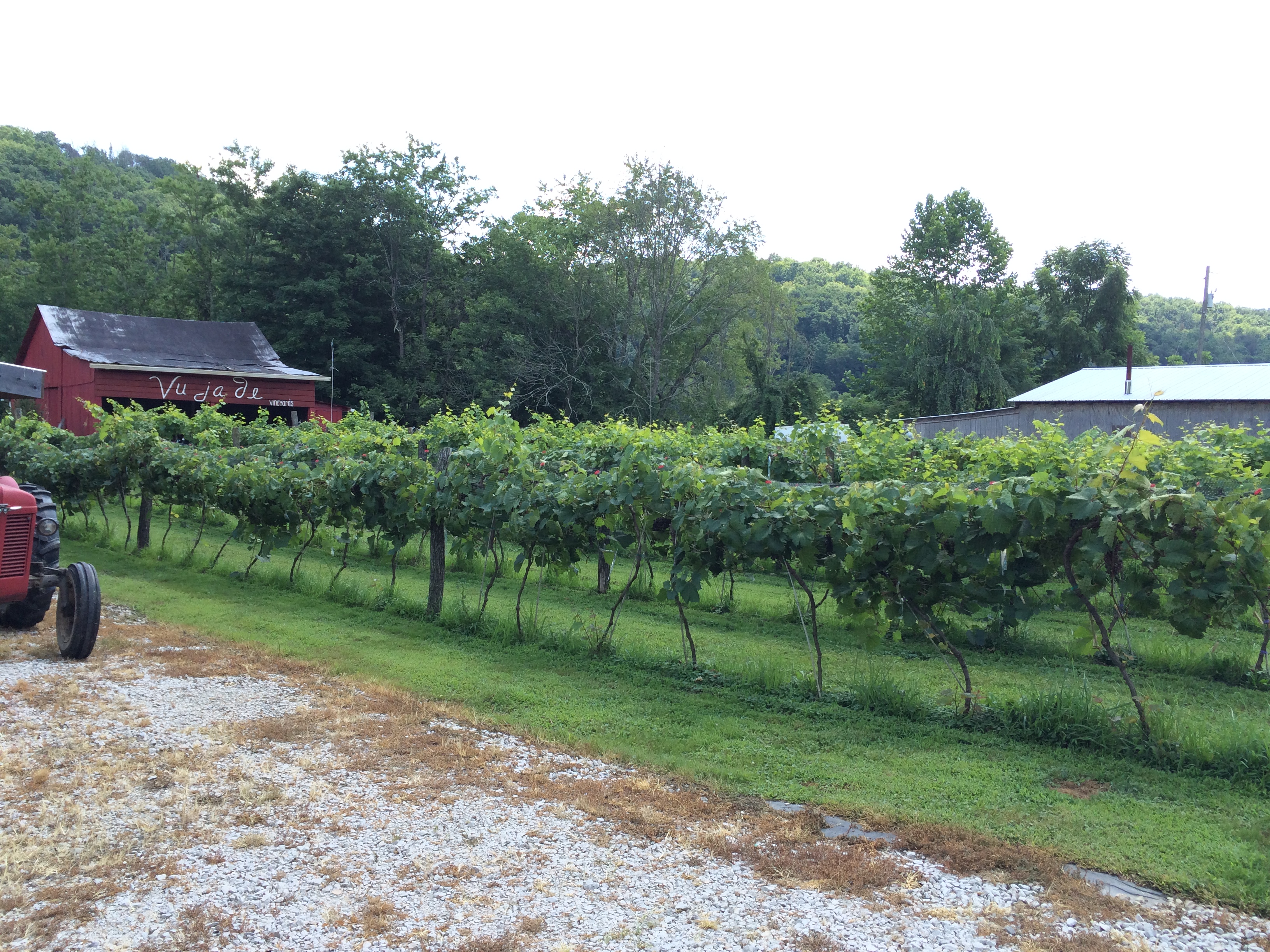
Vu ja de
Vu ja de

Vu ja de
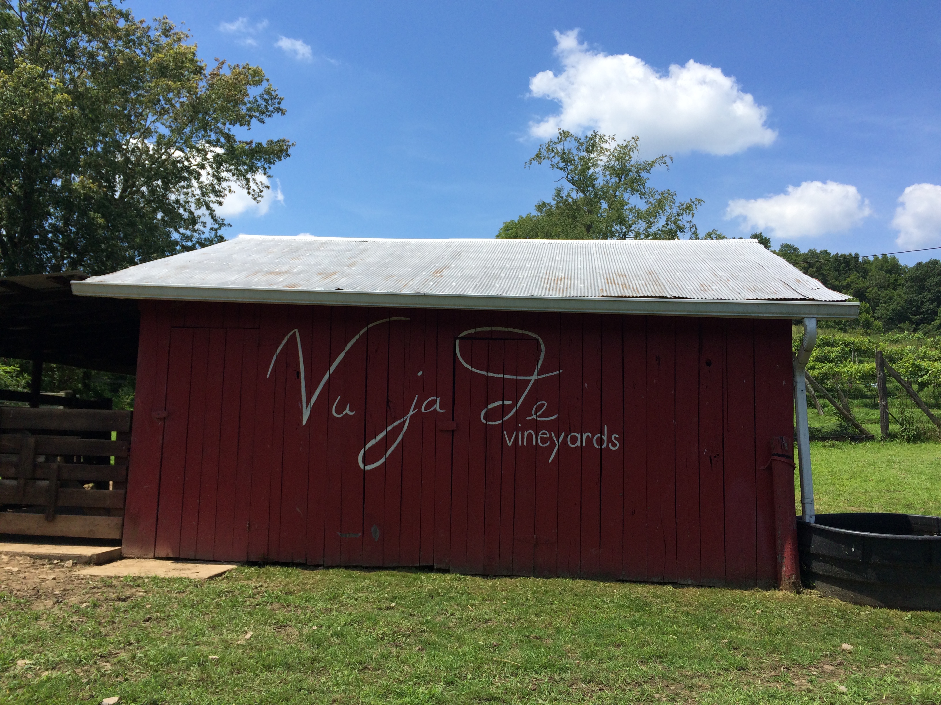
Vu ja de

Vu ja de
Topographic Map of Roane County, WV, USA
Find elevation by address:

Places in Roane County, WV, USA:
Places near Roane County, WV, USA:
114 Weather Ridge Rd
517 Colt Ridge Rd
Gandeeville
I
1 Raider Way
Spencer
Heritage Avenue
Goff Run Road
Slab Fork Road
Slab Fork Road
Gay
Gay Rd, Gay, WV, USA
990 Vicars Ridge Rd
990 Vicars Ridge Rd
Spencer, WV, USA
Ii
Clay Road
123 Linden Rd
Arnoldsburg Rd, Spencer, WV, USA
Recent Searches:
- Elevation of Corso Fratelli Cairoli, 35, Macerata MC, Italy
- Elevation of Tallevast Rd, Sarasota, FL, USA
- Elevation of 4th St E, Sonoma, CA, USA
- Elevation of Black Hollow Rd, Pennsdale, PA, USA
- Elevation of Oakland Ave, Williamsport, PA, USA
- Elevation of Pedrógão Grande, Portugal
- Elevation of Klee Dr, Martinsburg, WV, USA
- Elevation of Via Roma, Pieranica CR, Italy
- Elevation of Tavkvetili Mountain, Georgia
- Elevation of Hartfords Bluff Cir, Mt Pleasant, SC, USA